Service/Family Time-7/16/23 -7/18/23 Mackinaw City to Manchester MI – Visit Family and service bikes before continuing 15 Roads

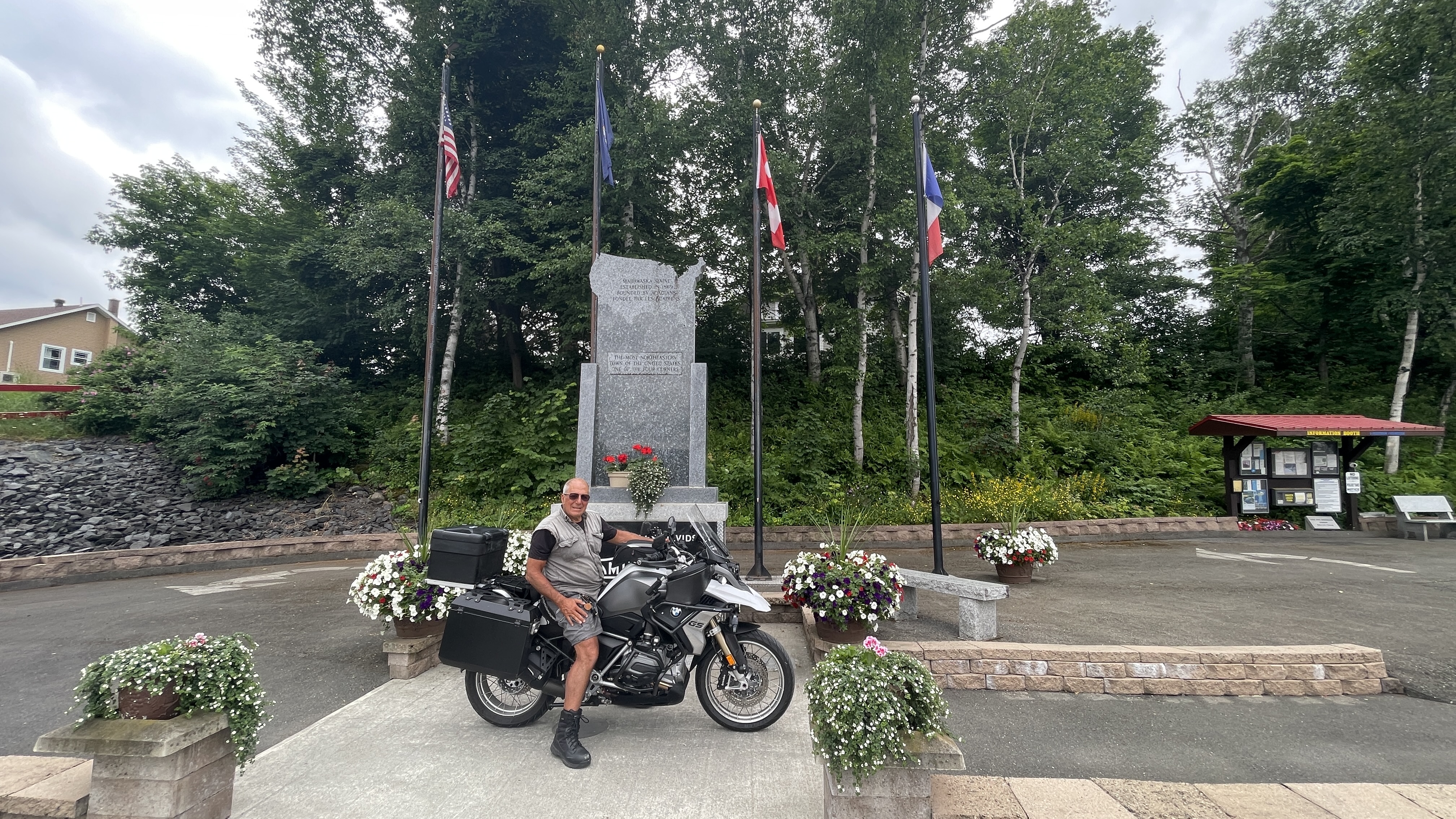
Footnote – Rick and I are back in CA as of 7/24 and 7/25. My laptop screen was giving me trouble in Michigan and the rest of the trip, so now that we are back, I’ll catch up the best I can on the remaining days as I use this website as log and photo book of my trip.

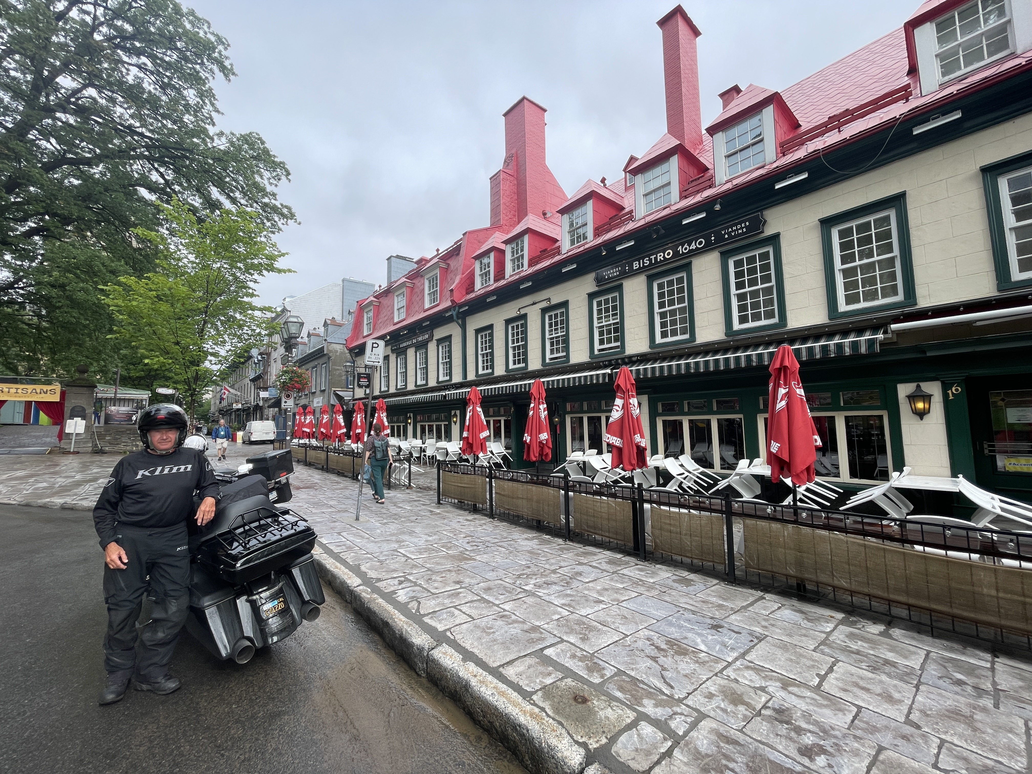
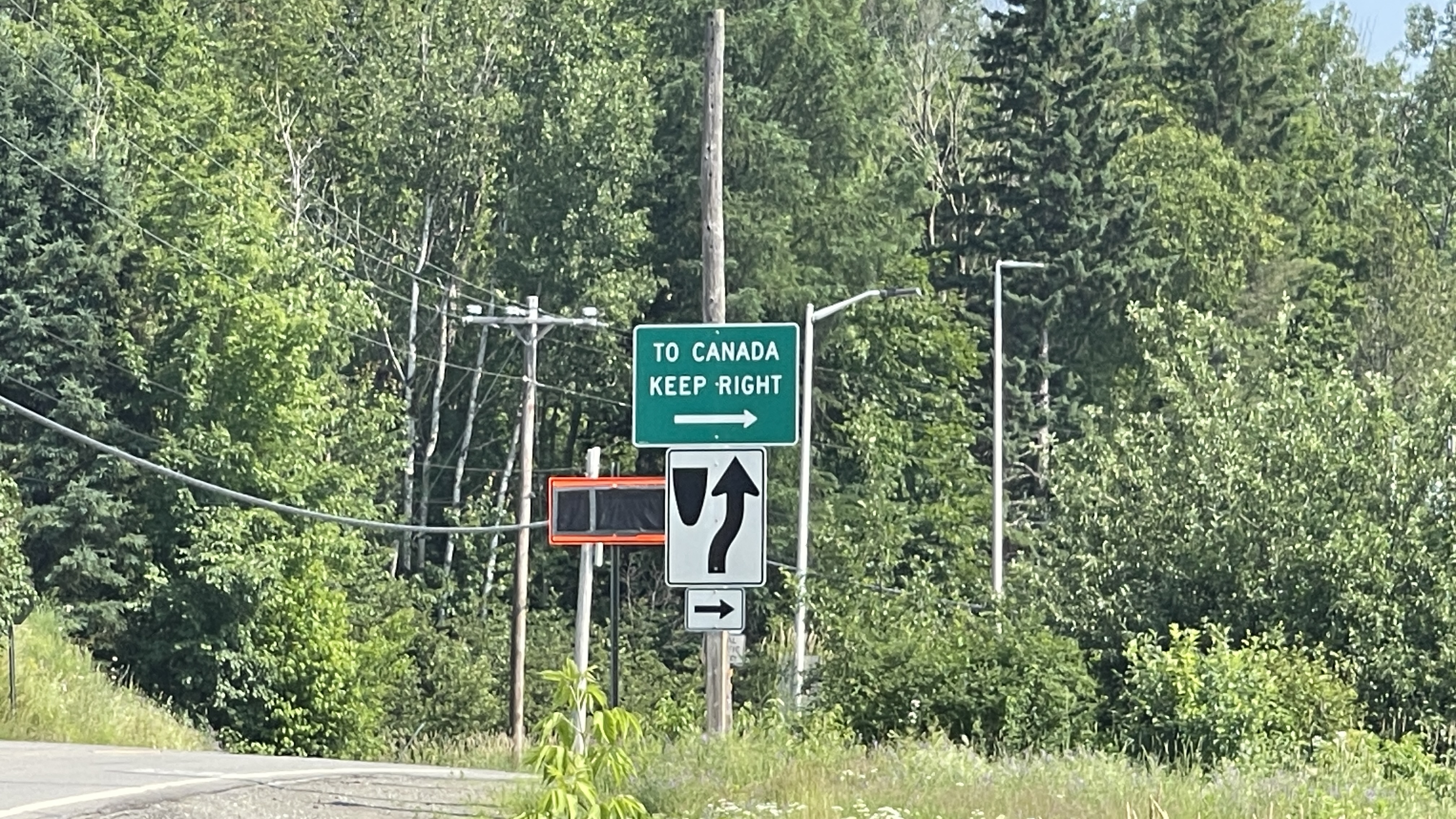
It was now time to head south to my sister and brother-in-laws place in Manchester MI to stay there for three days to visit and get our bikes serviced before heading west again and continuing 15 Great Roads.

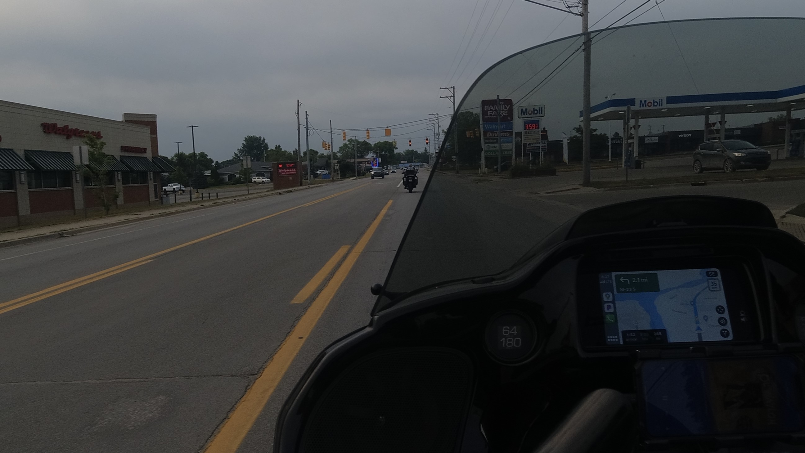
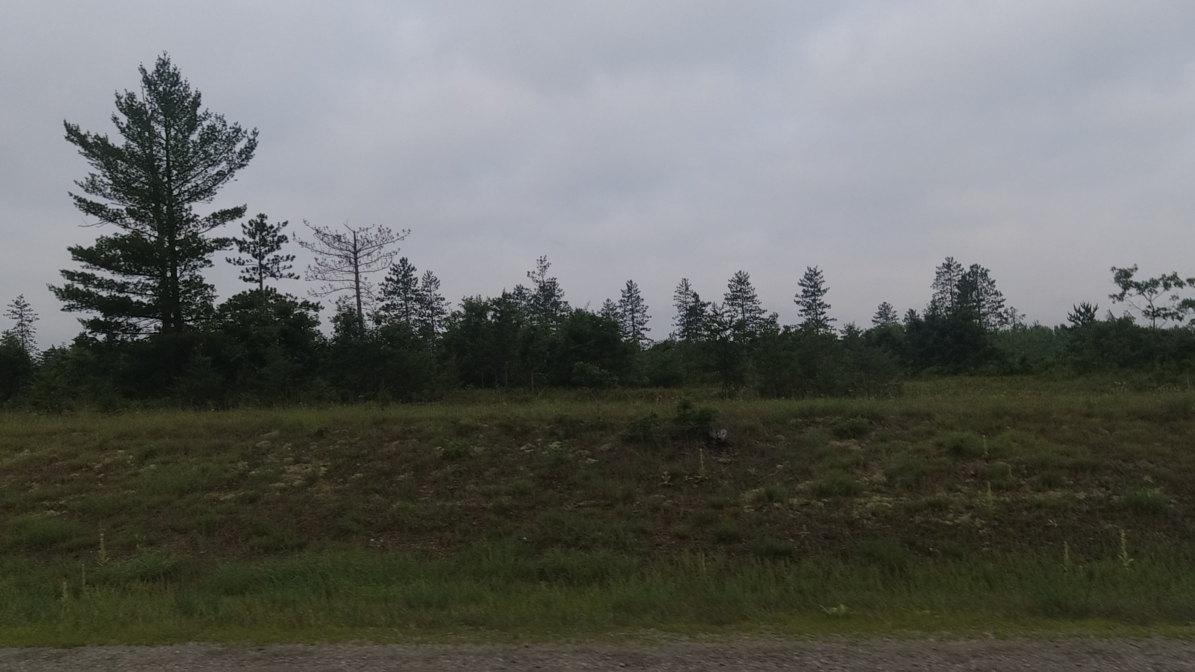
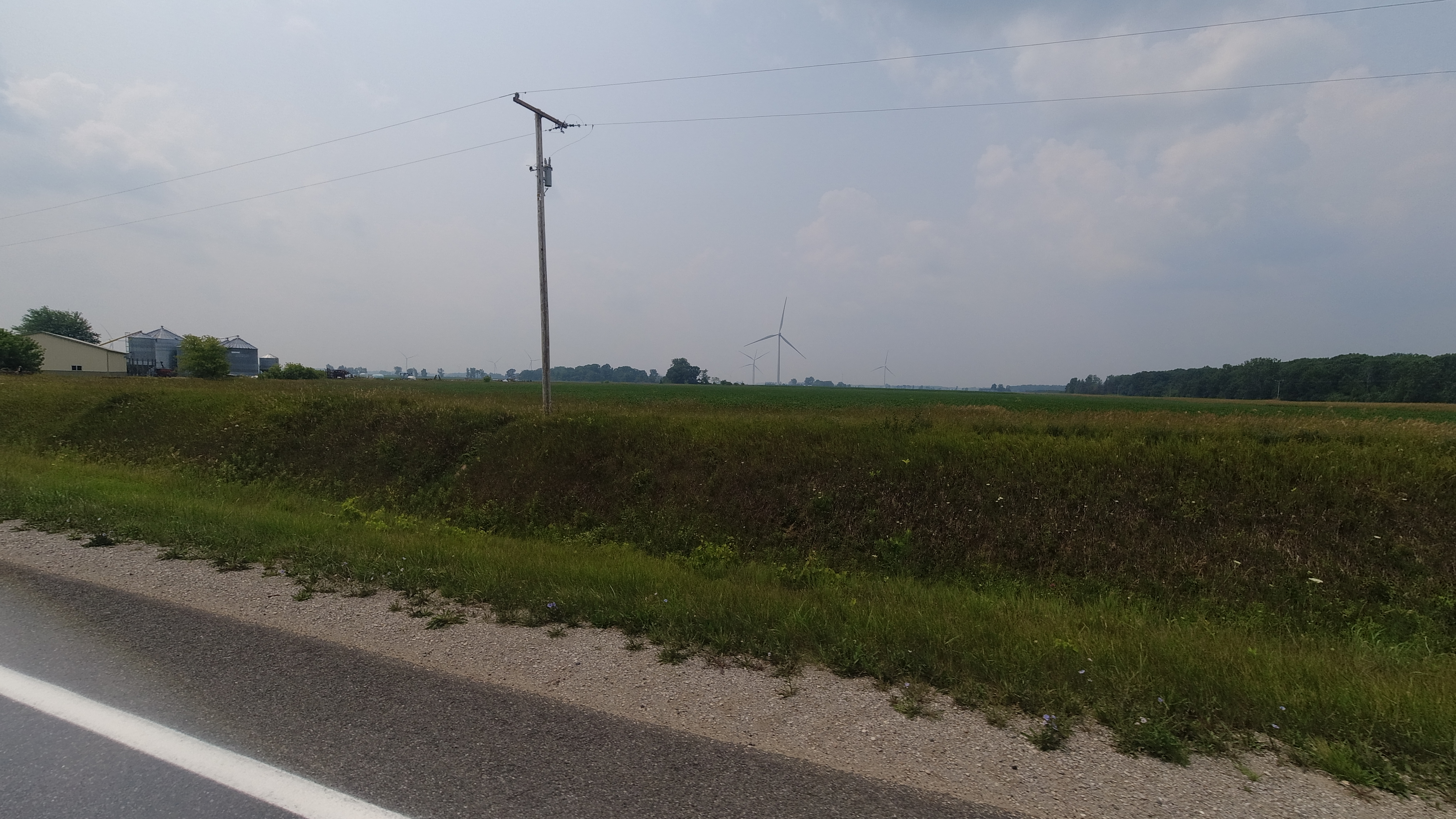
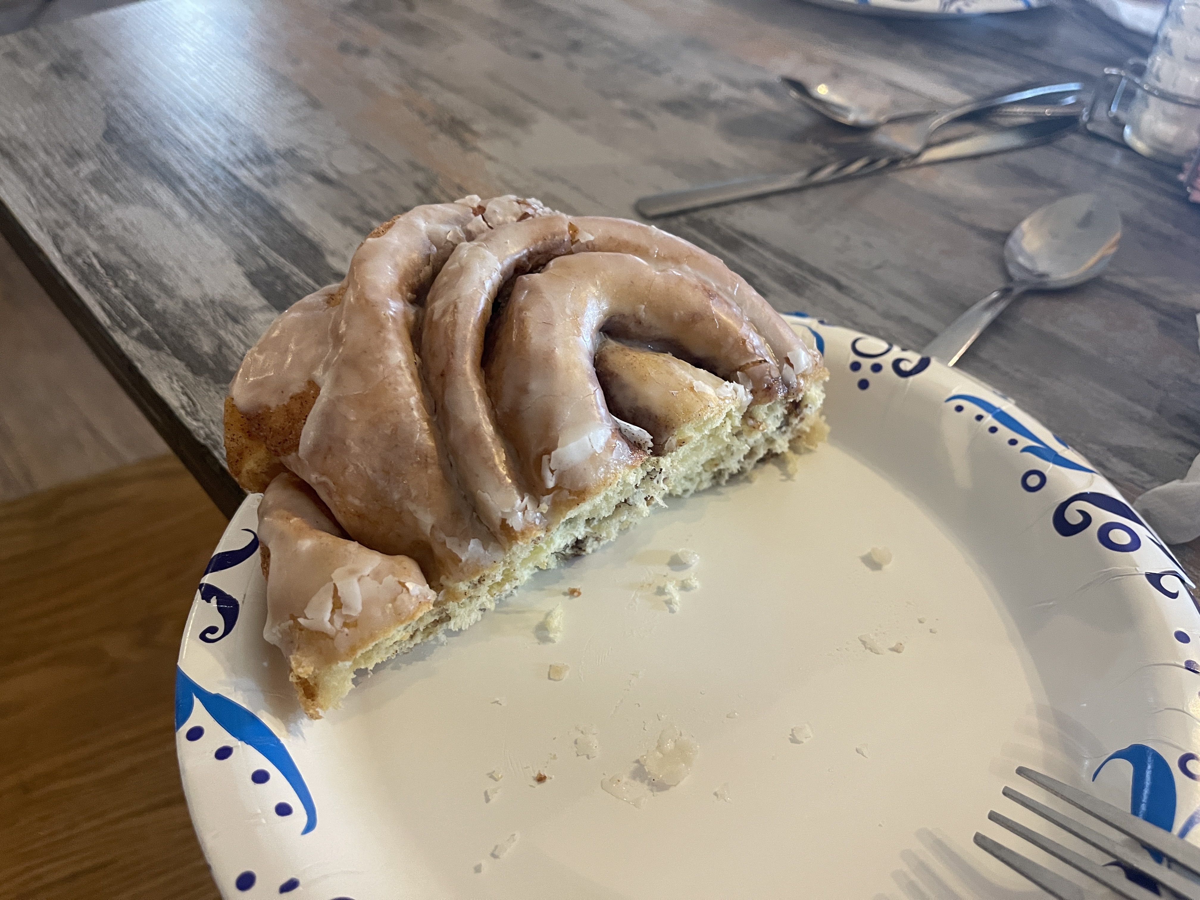
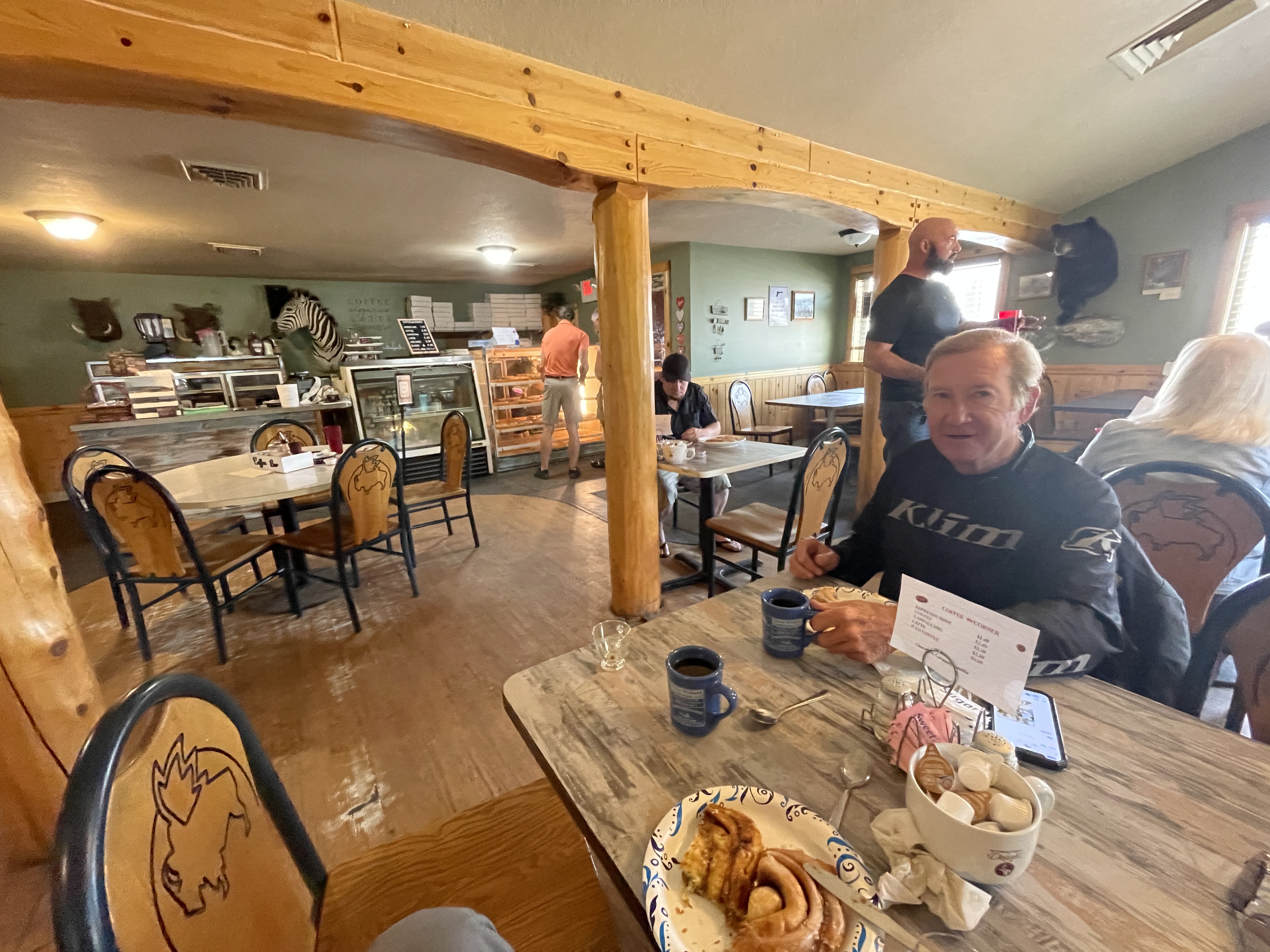
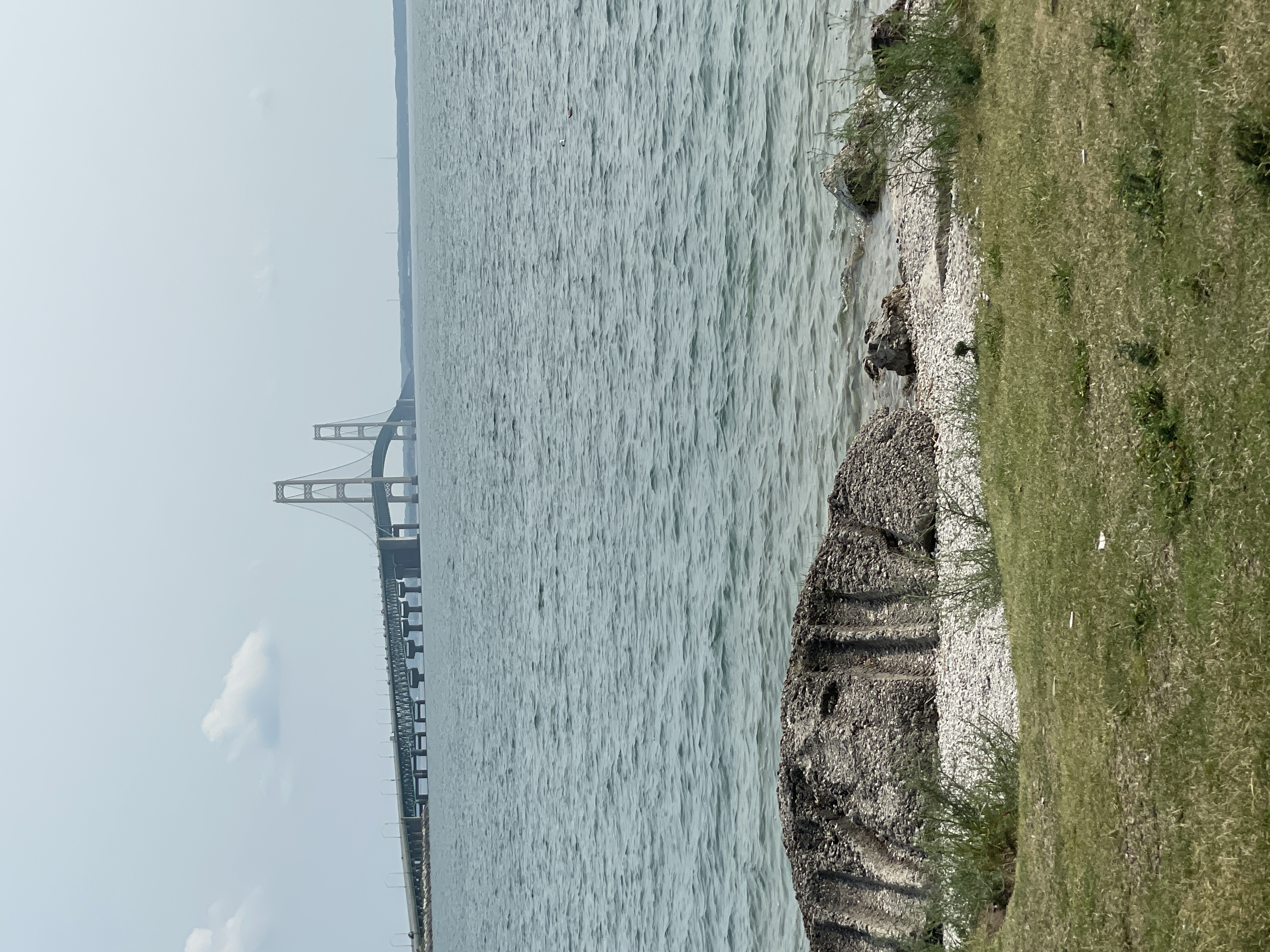
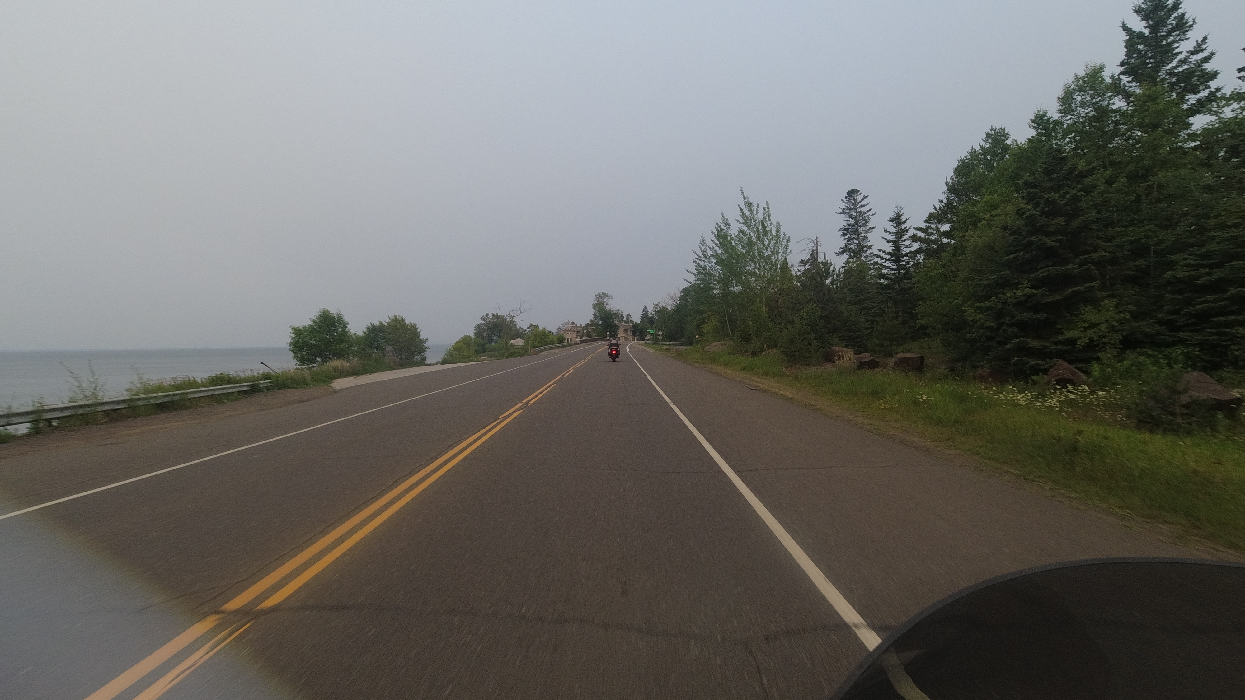
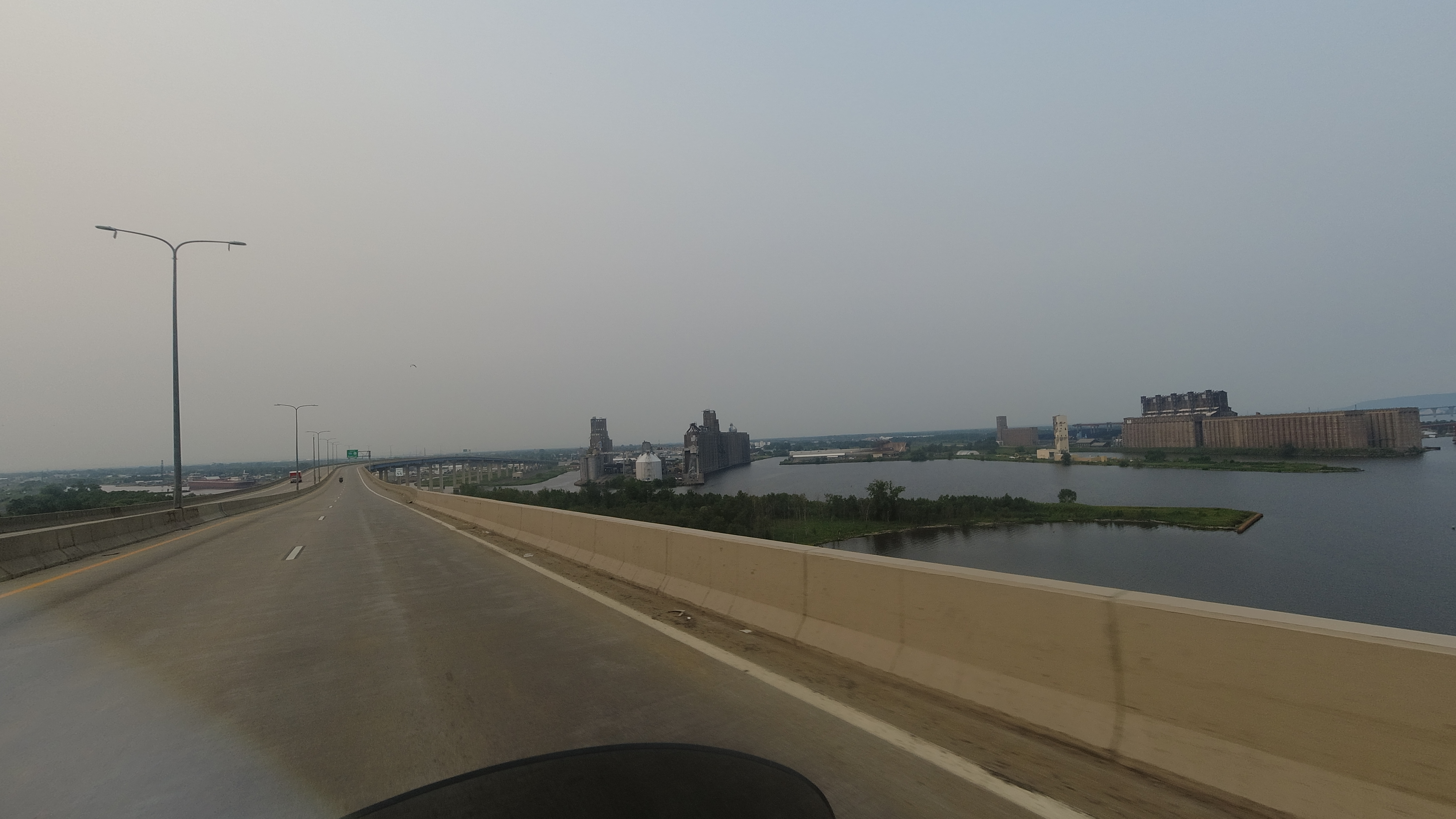
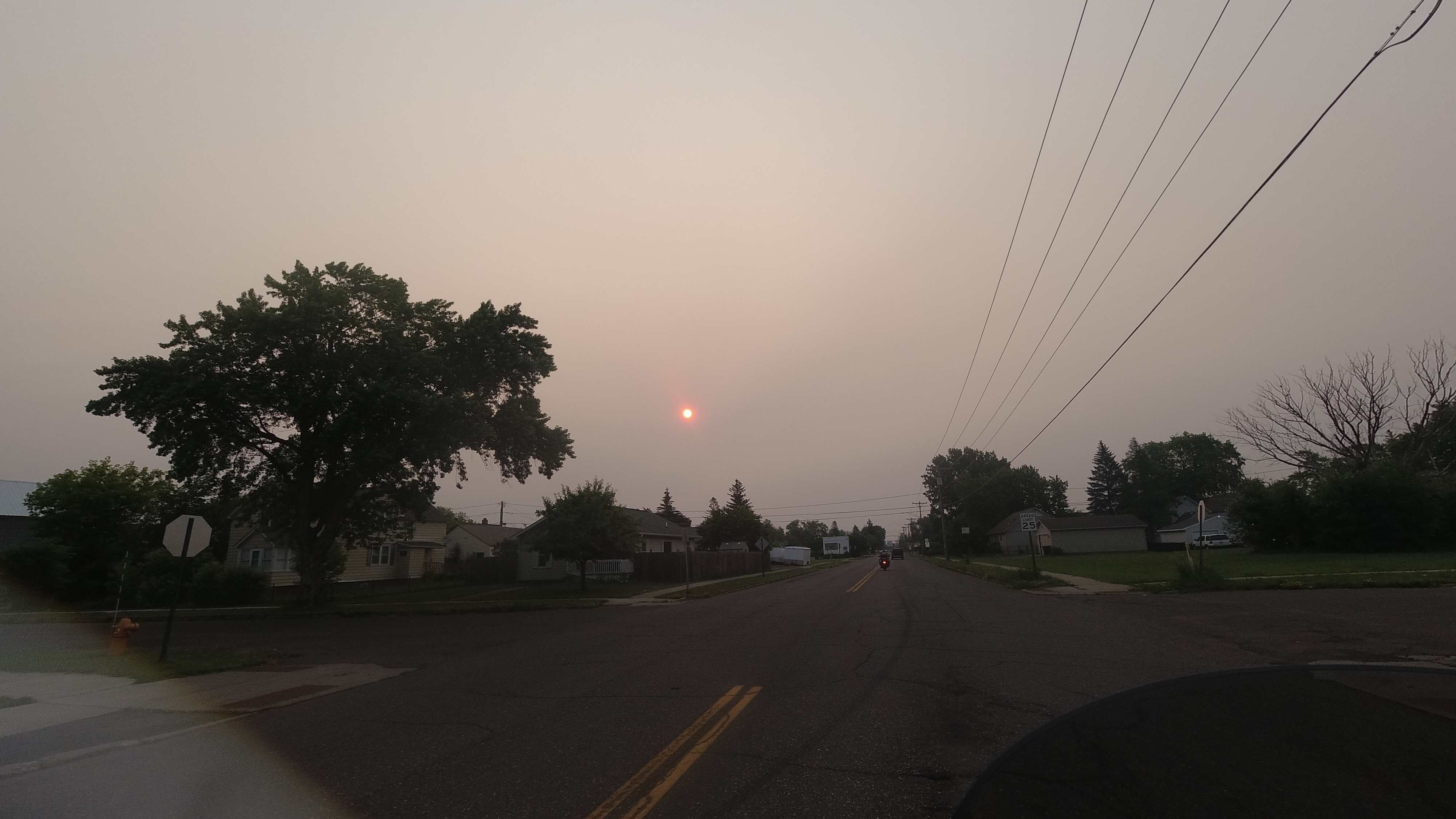
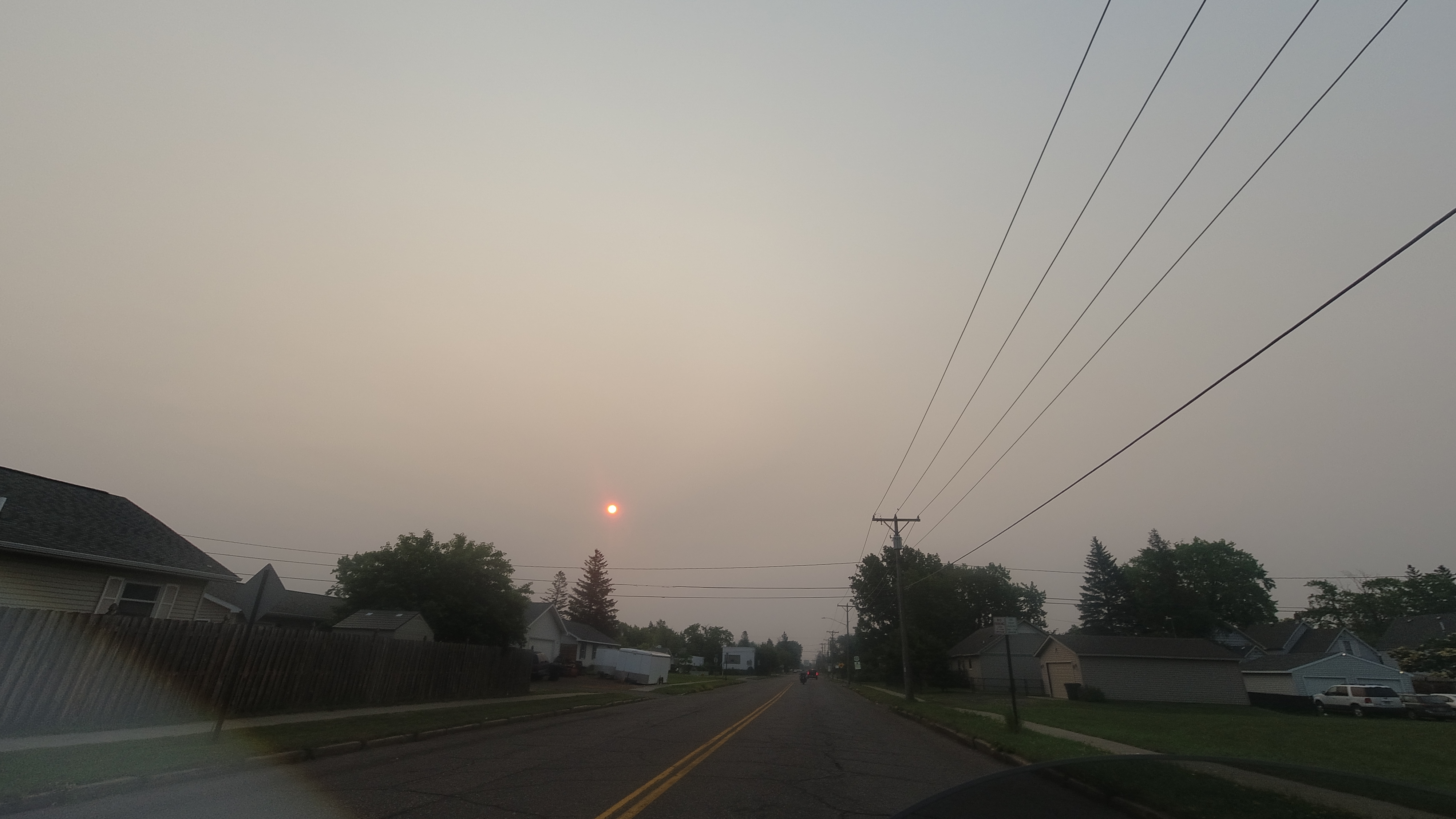
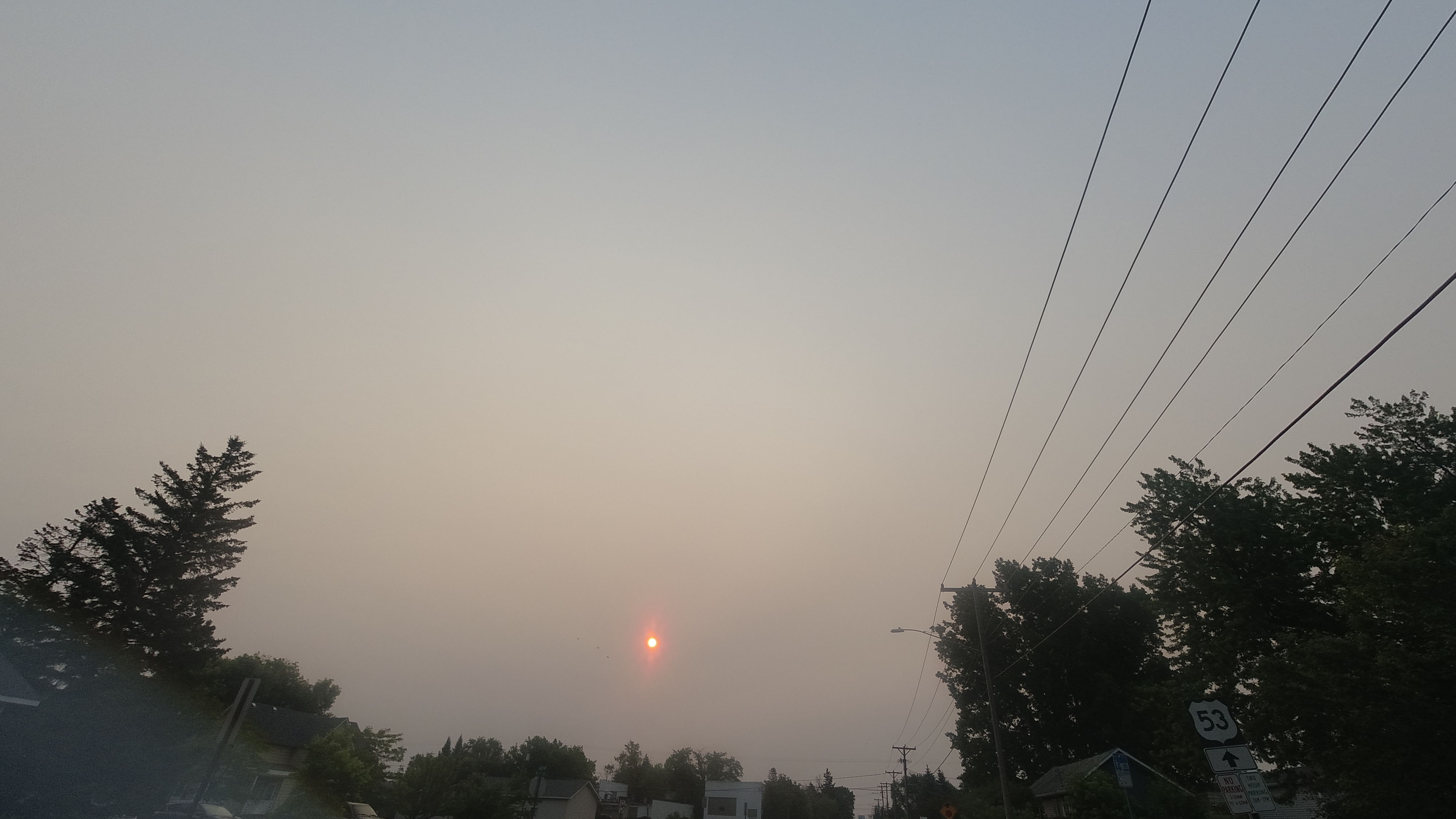
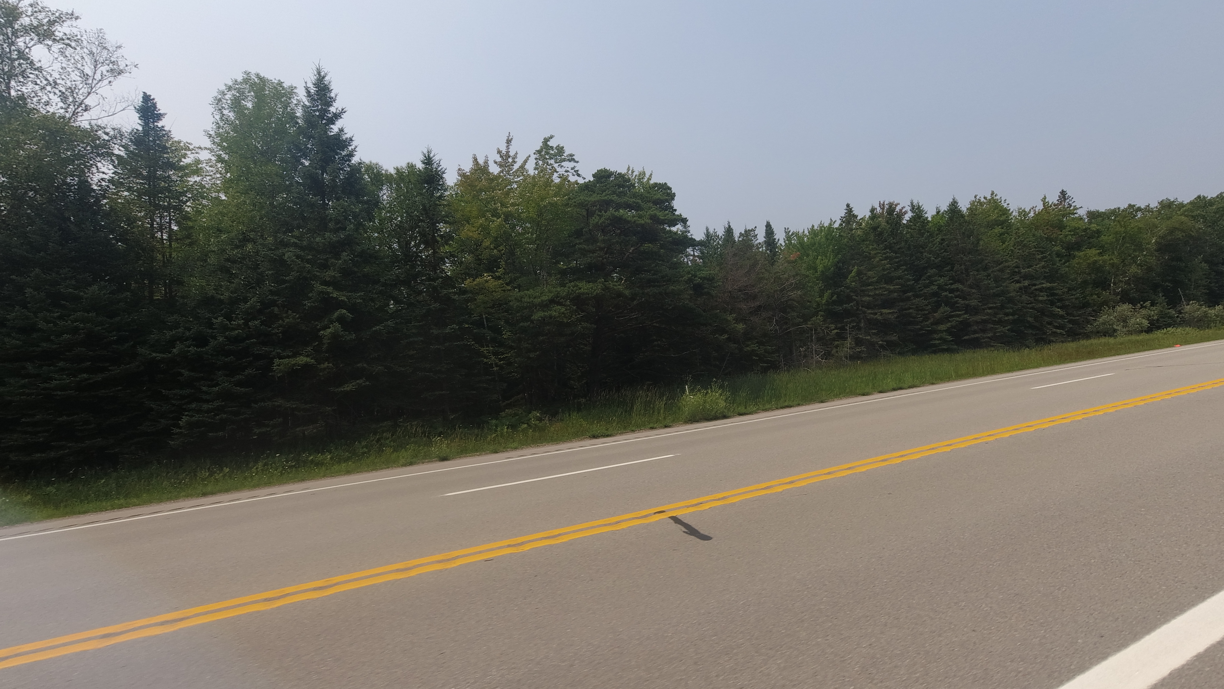
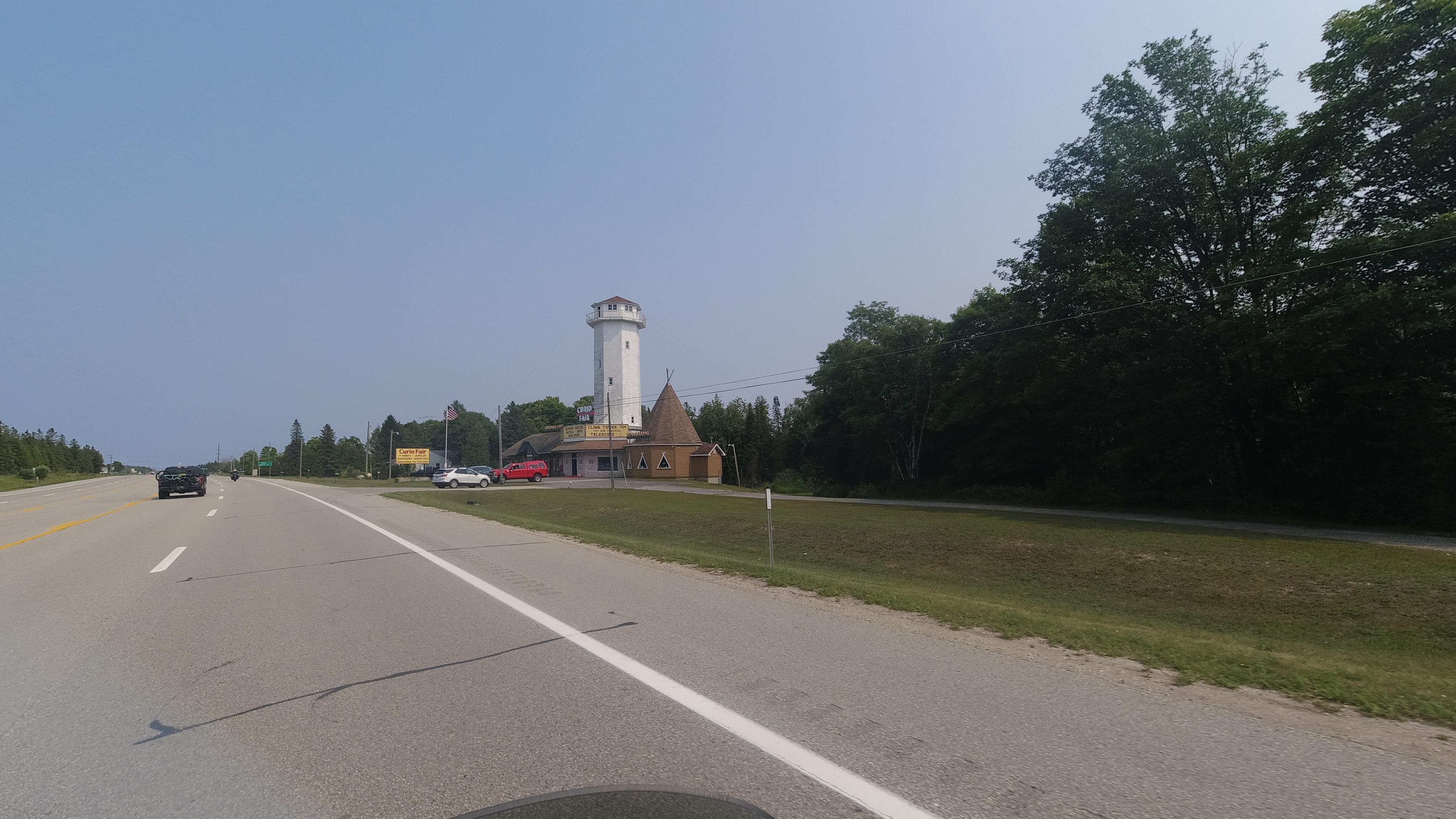
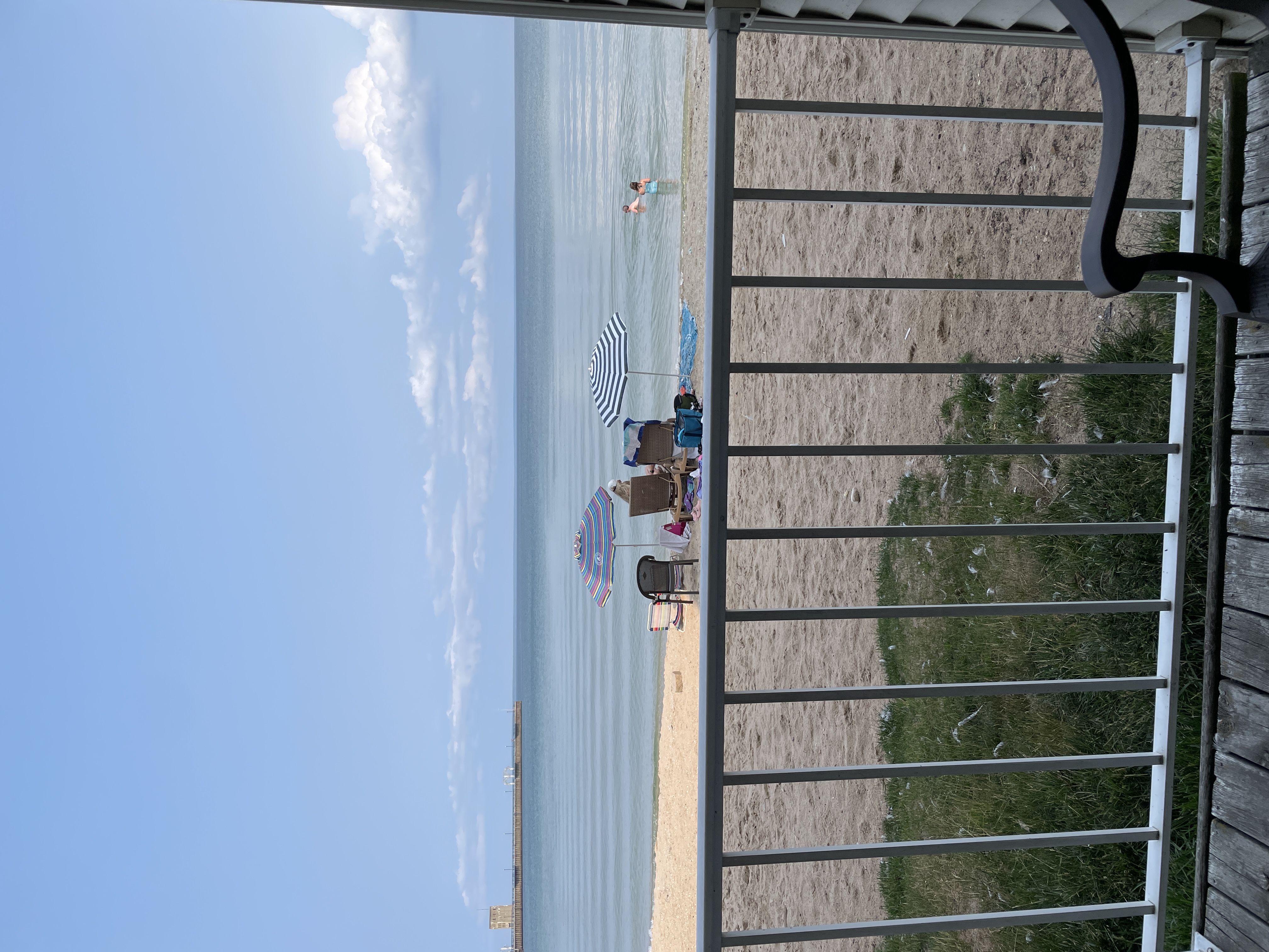
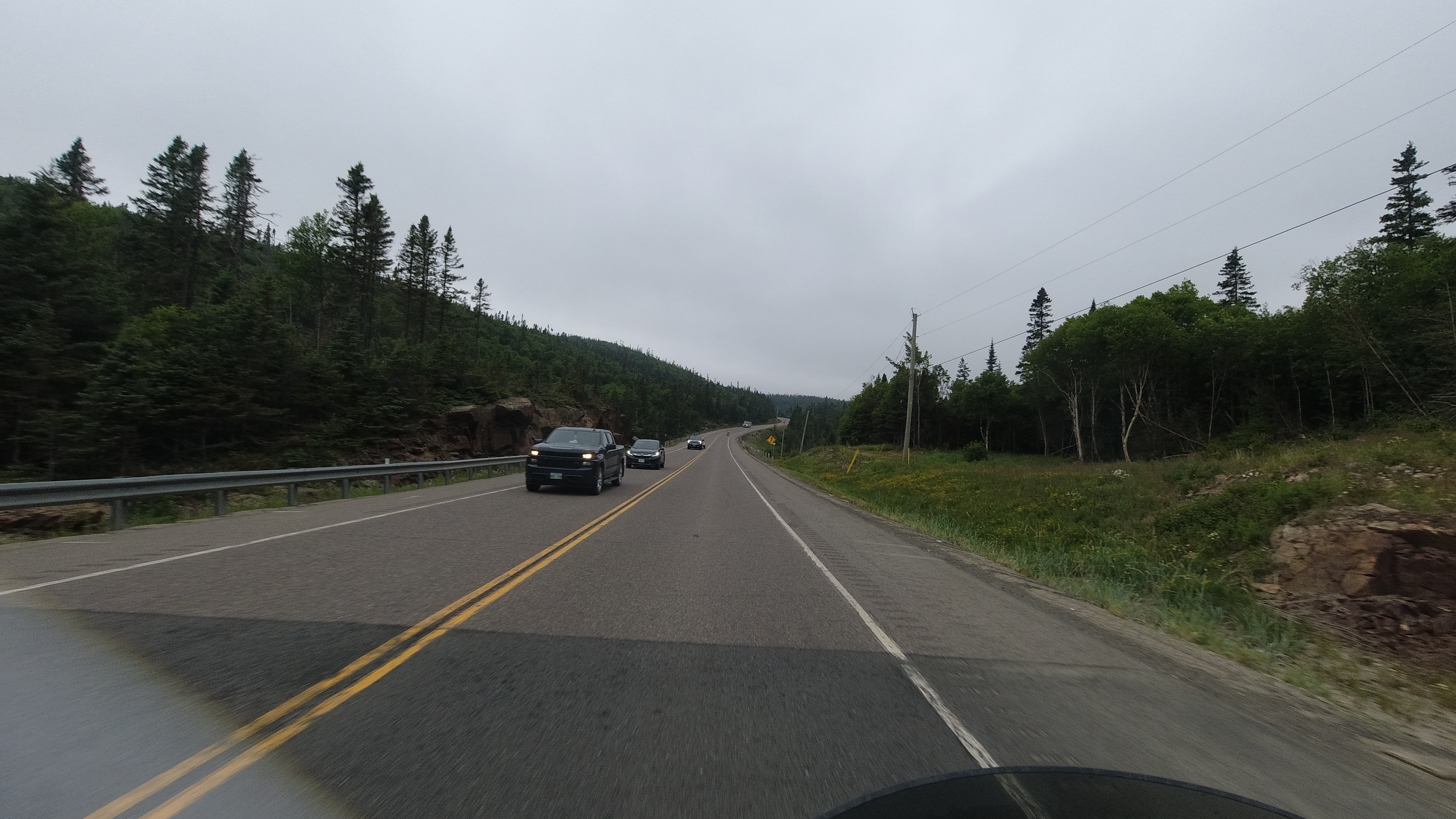
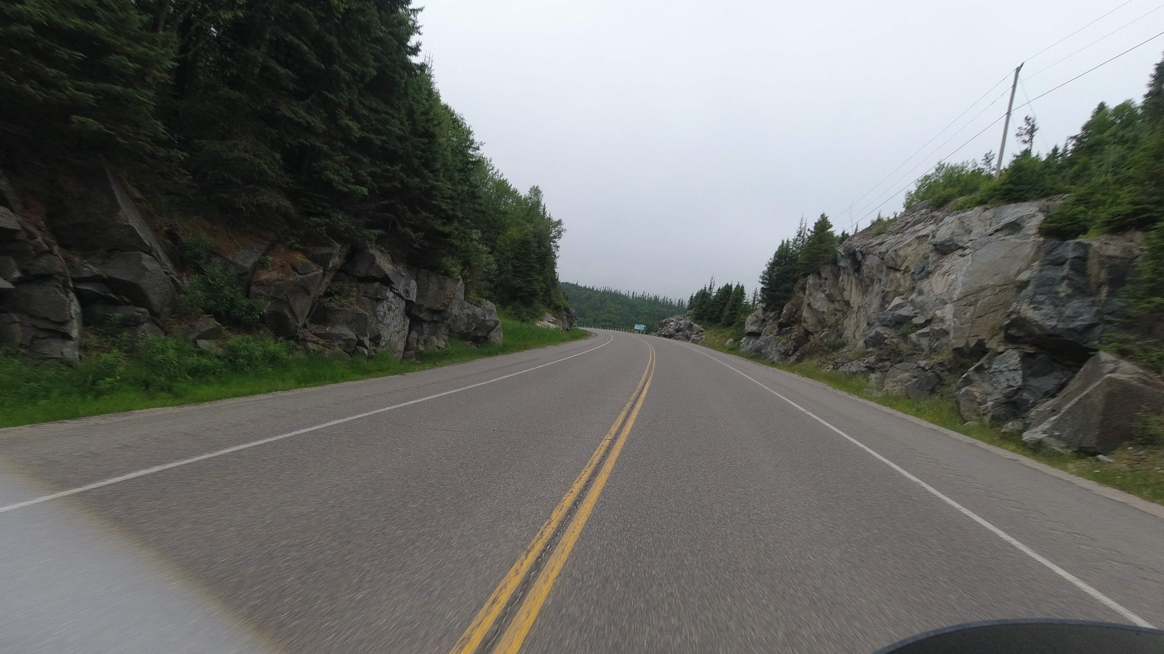
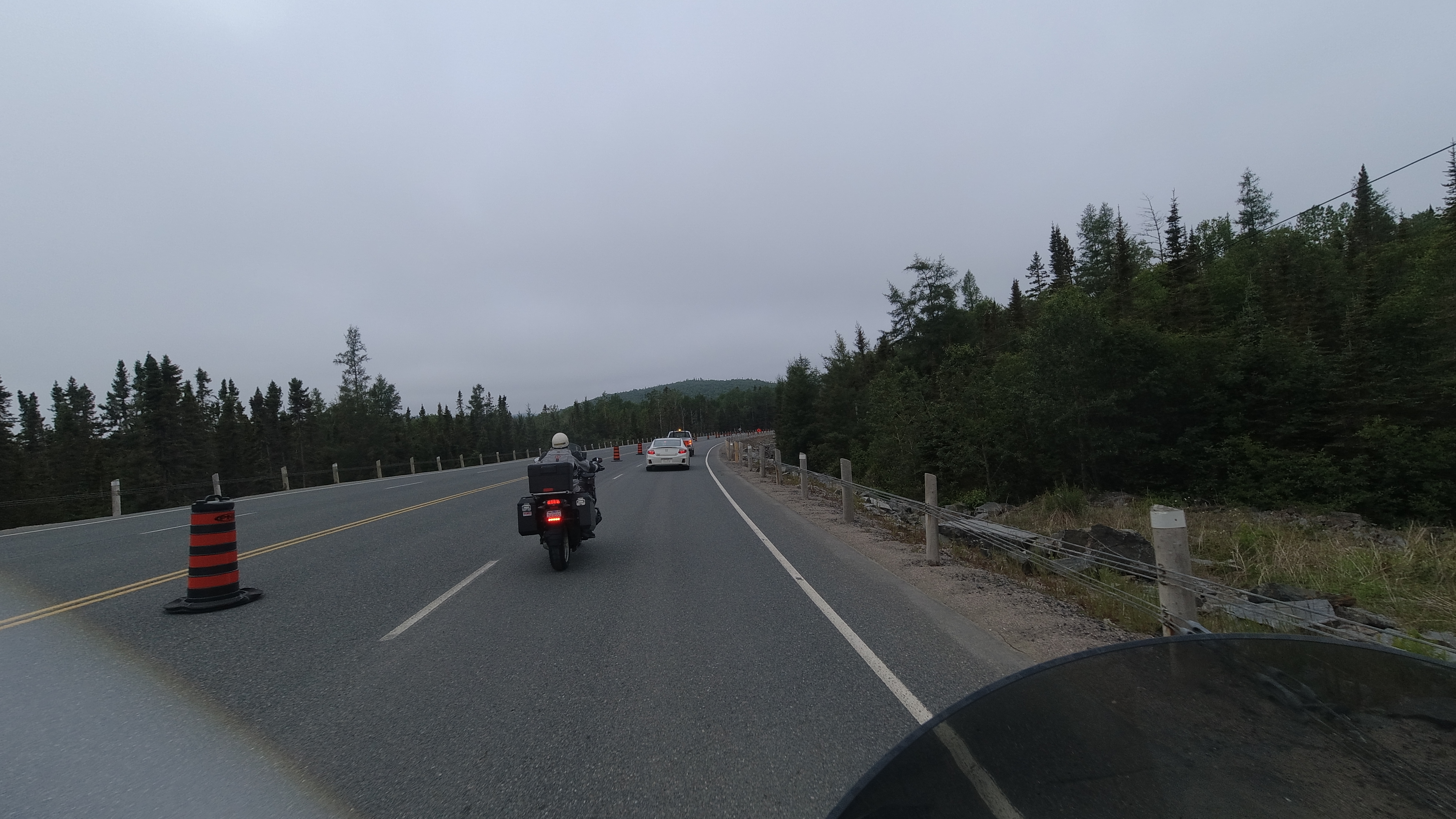
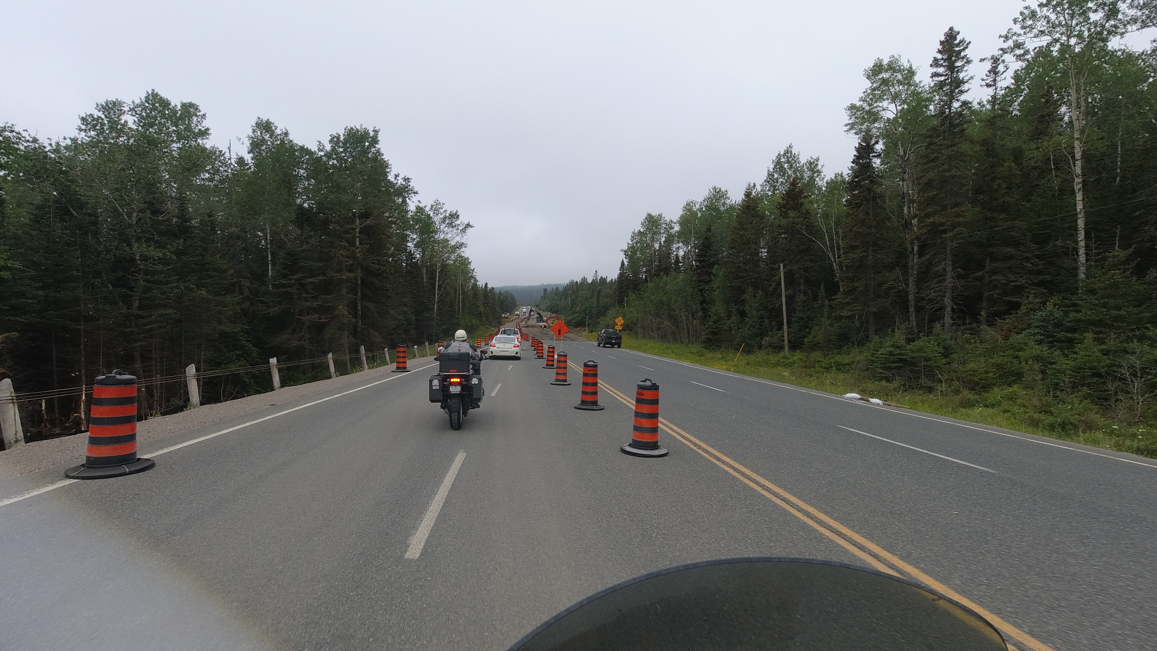
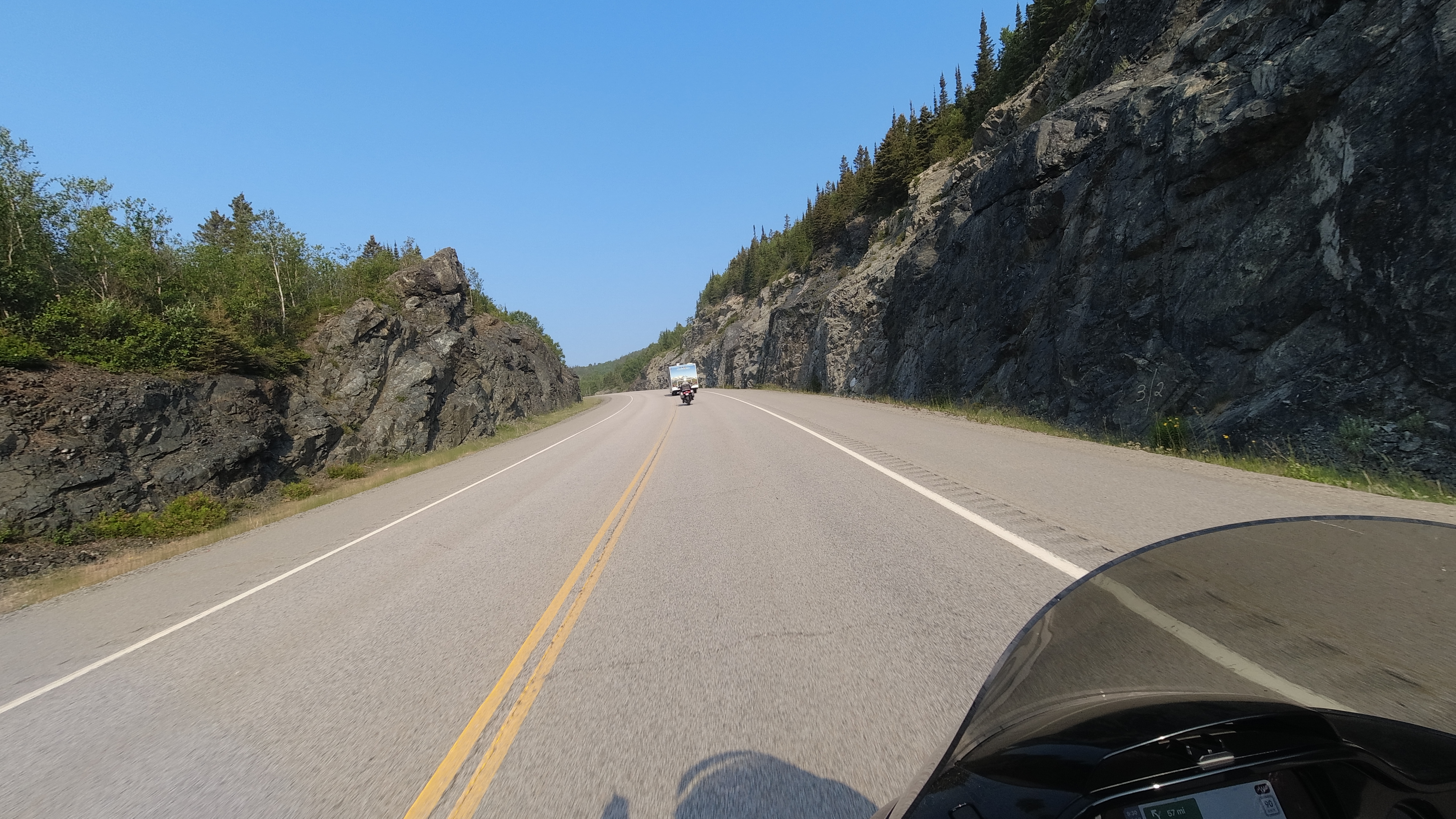
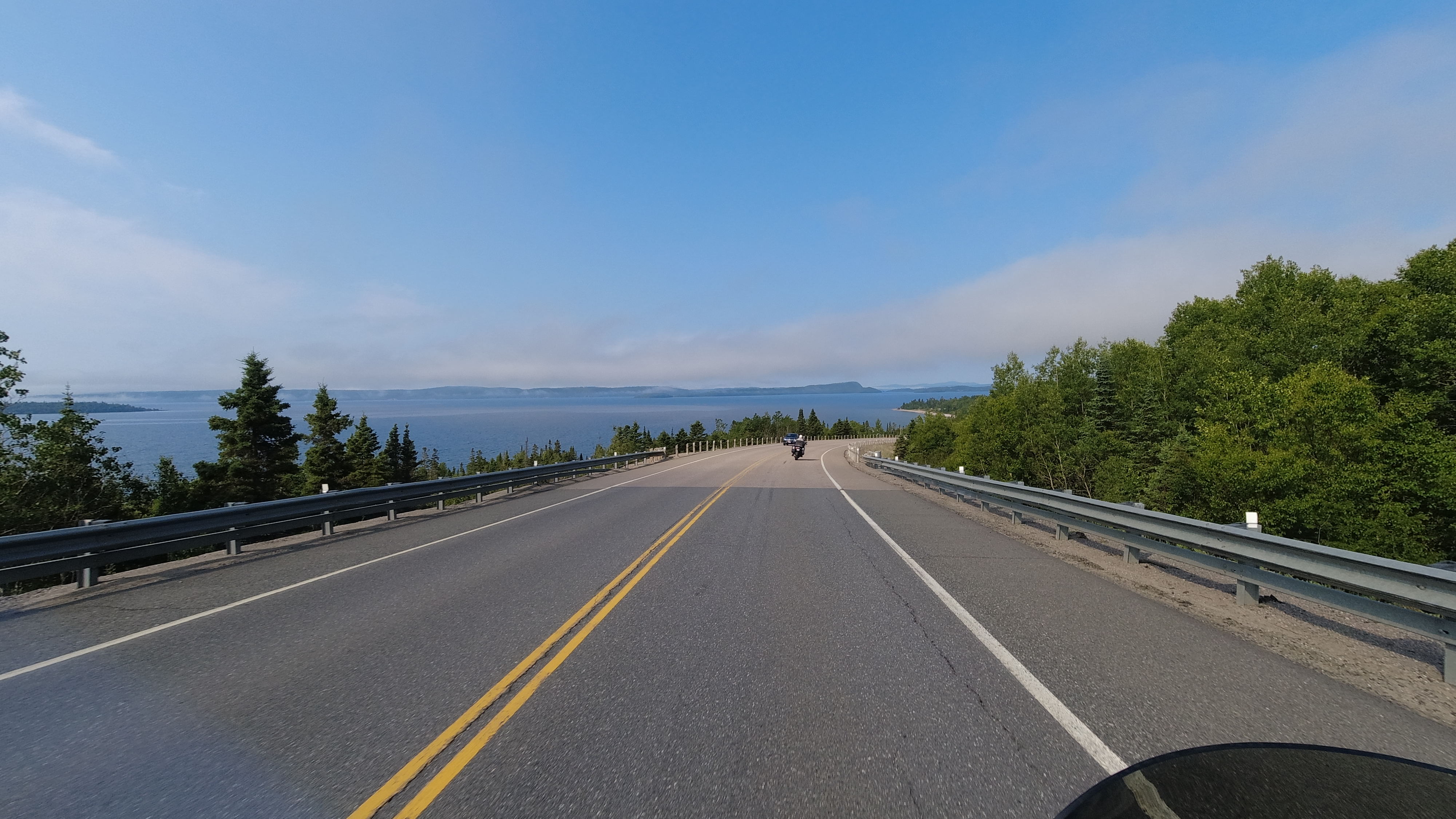
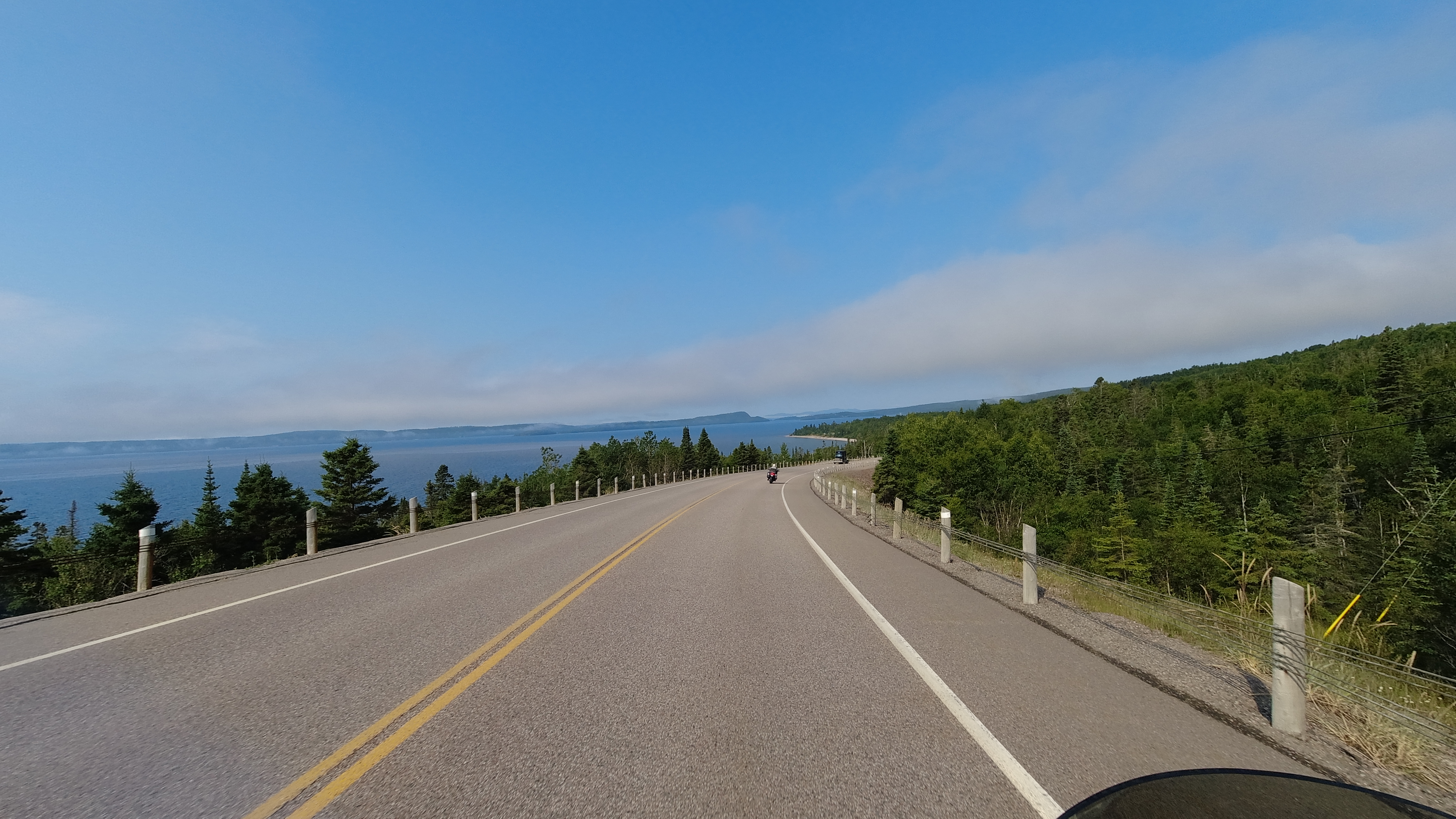
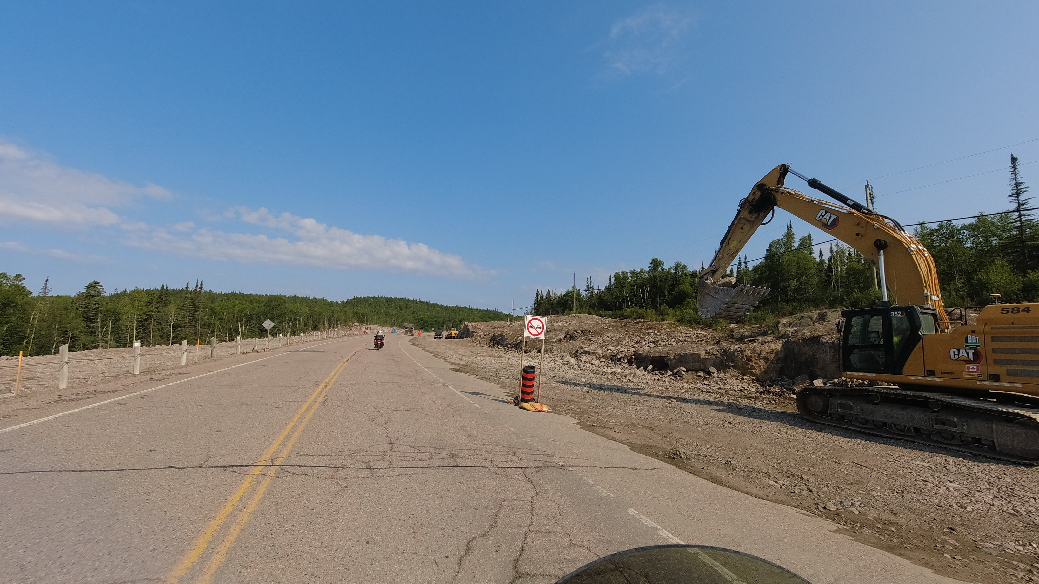
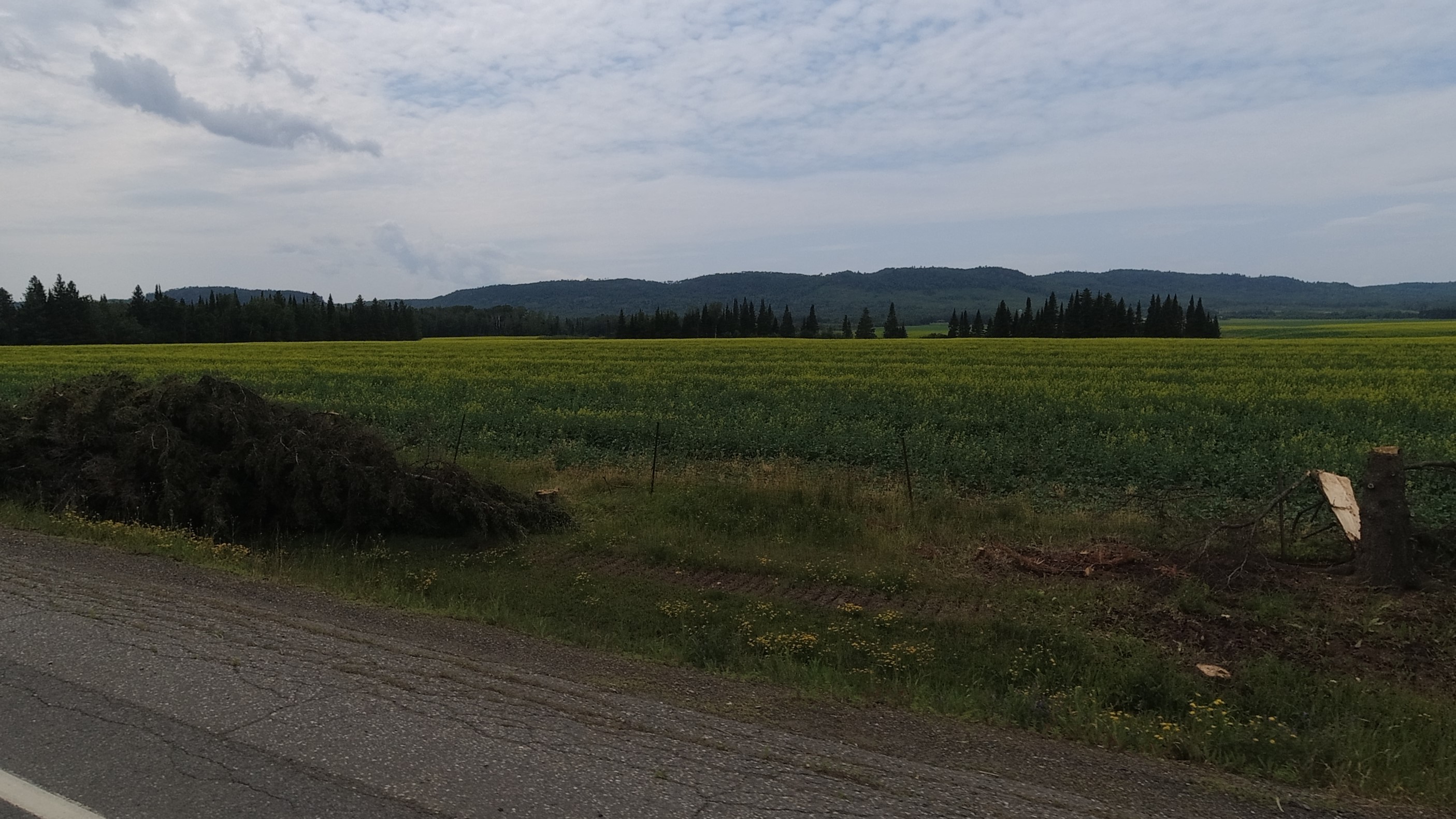
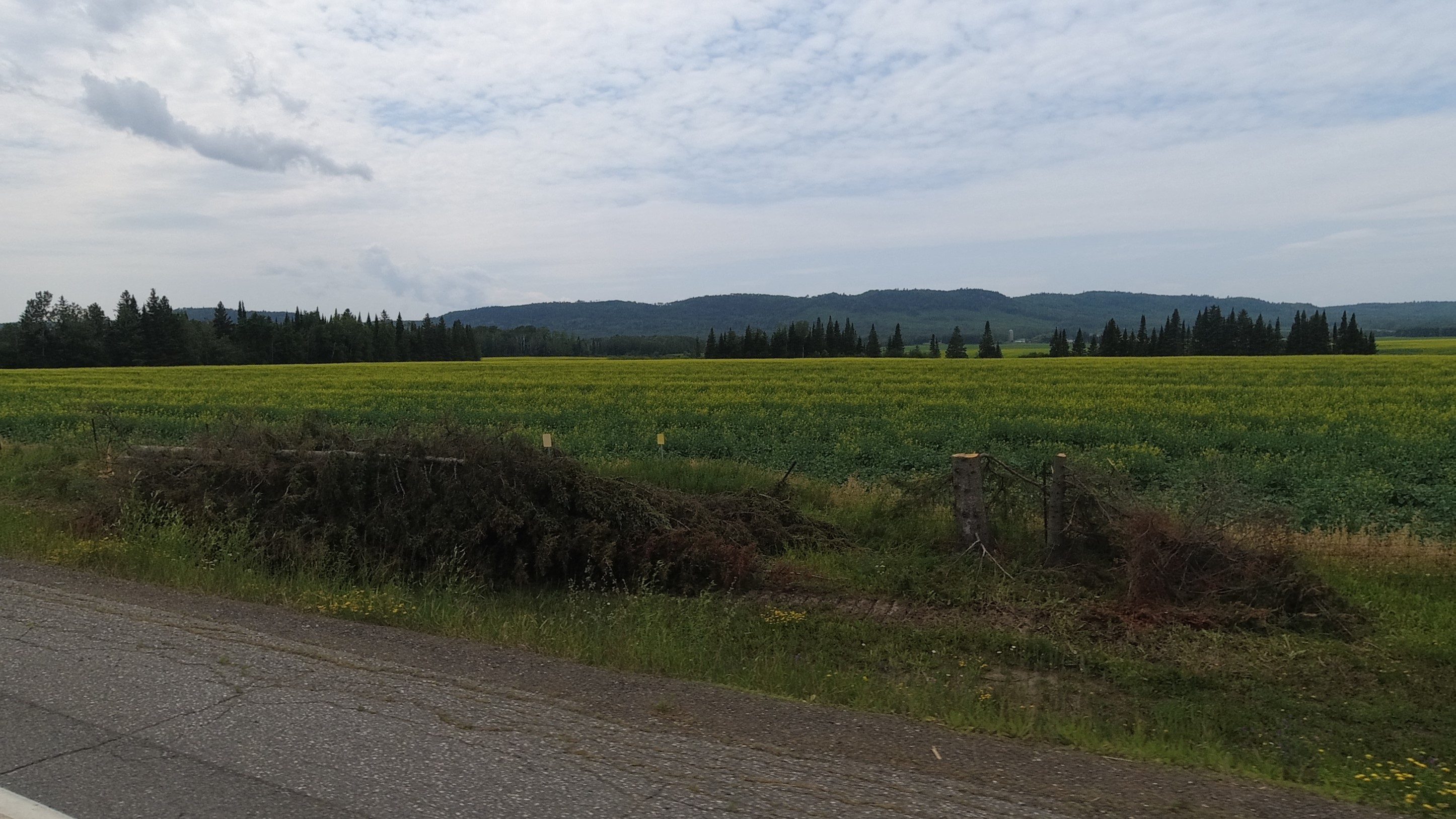
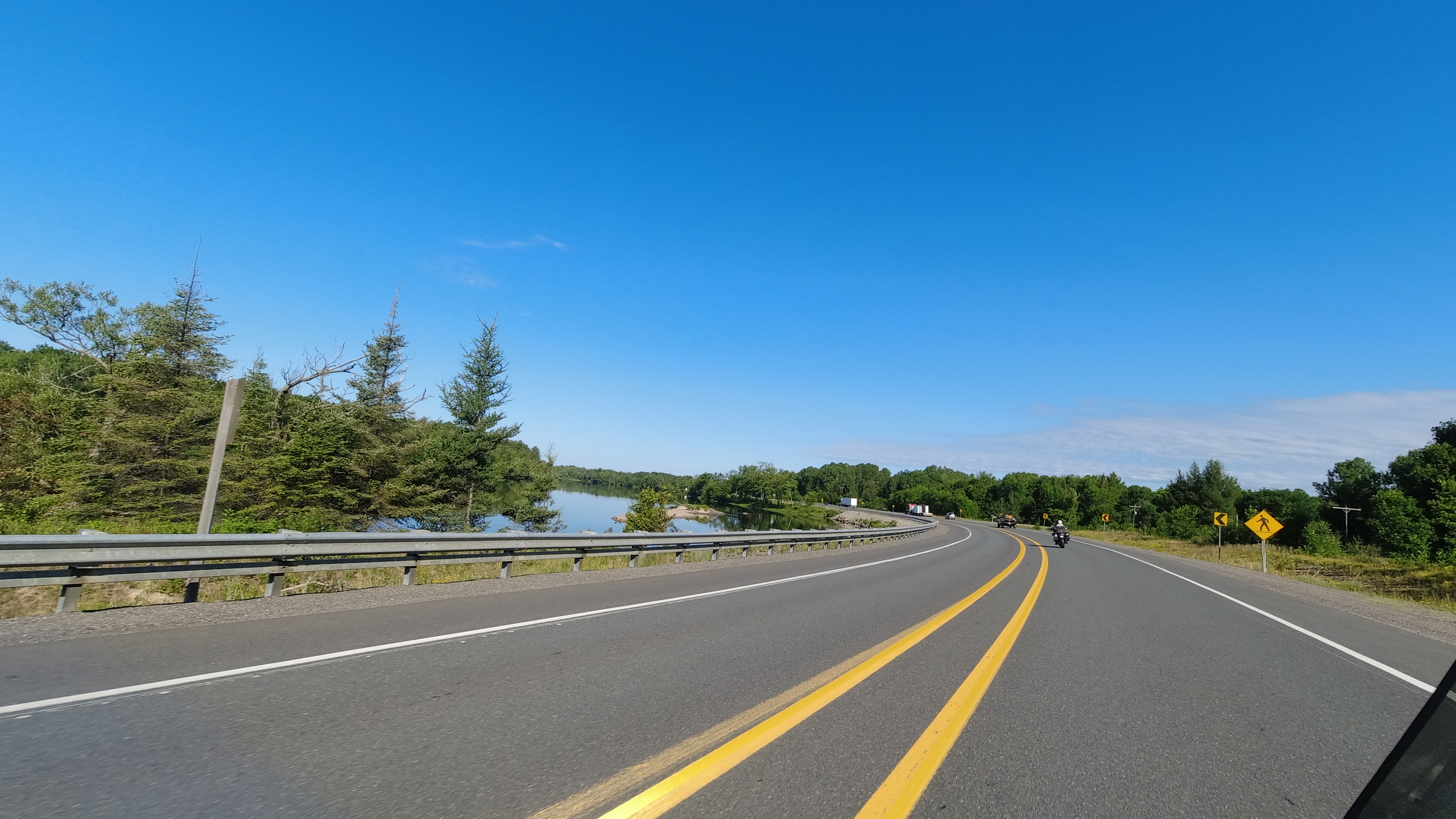
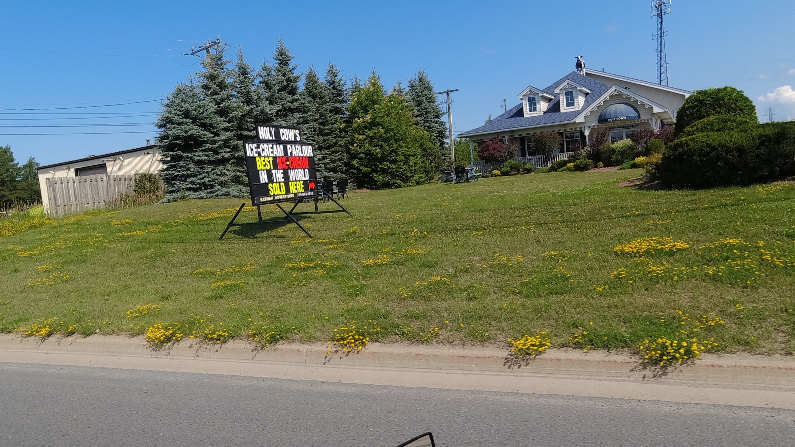
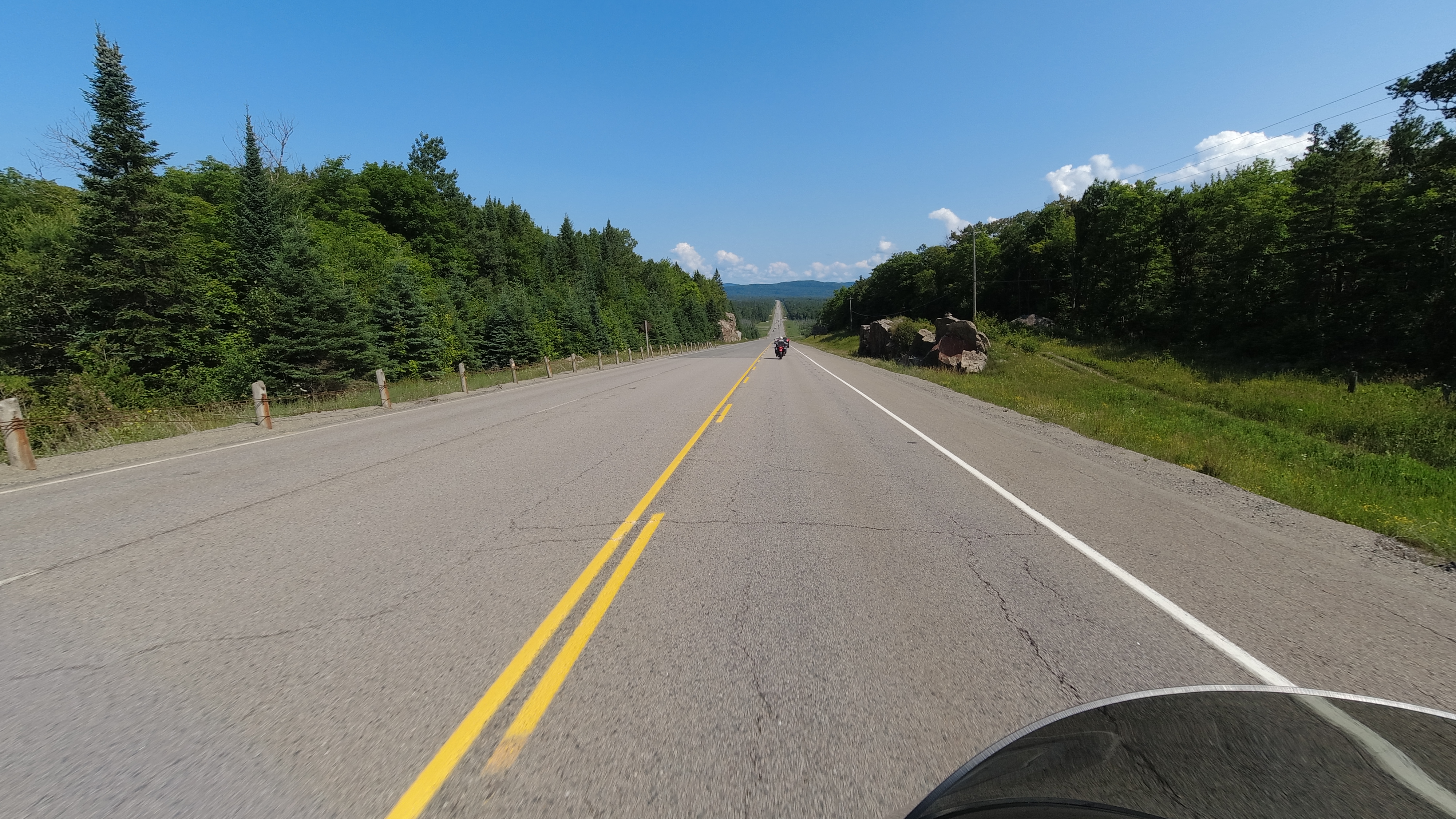
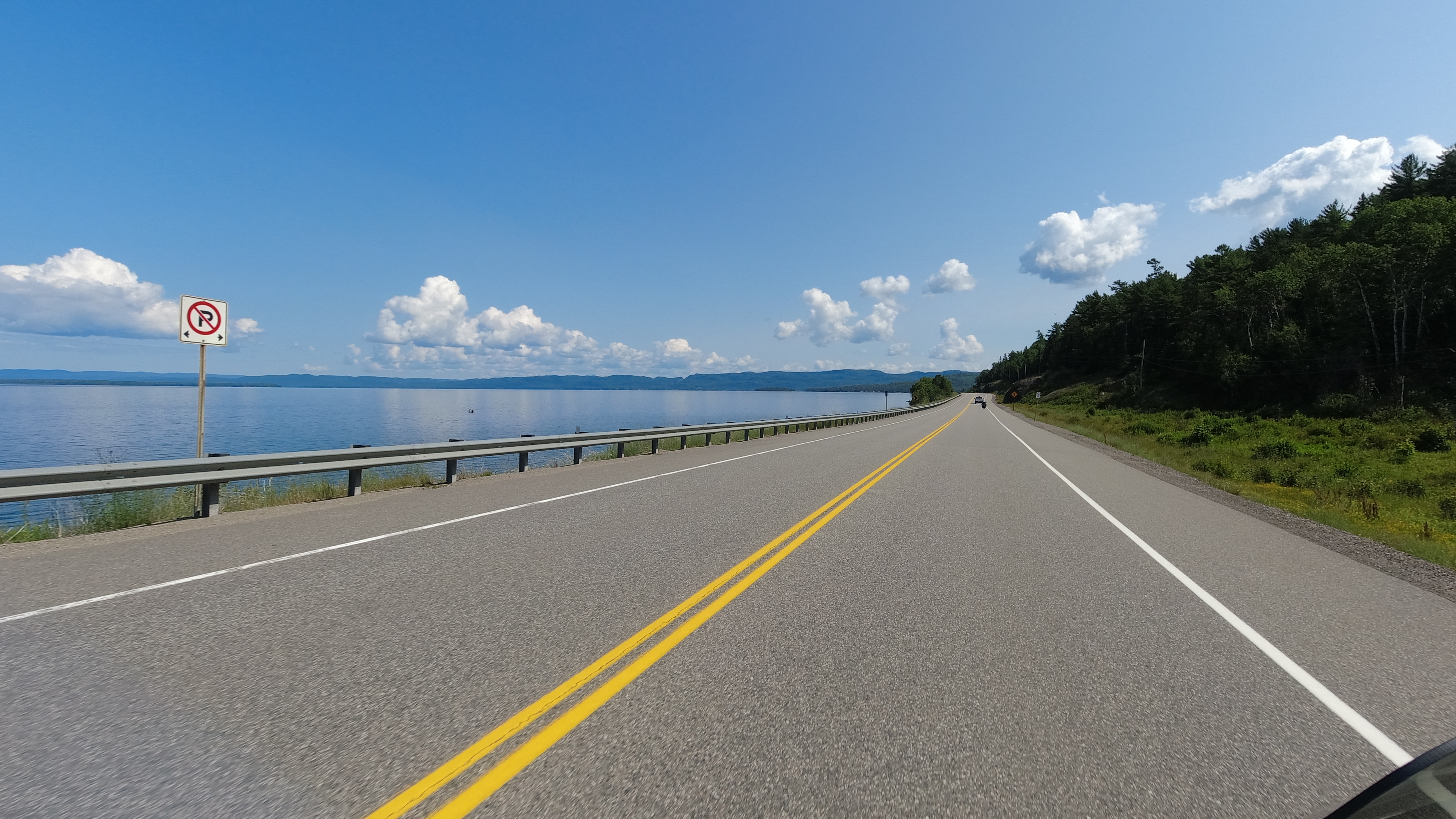
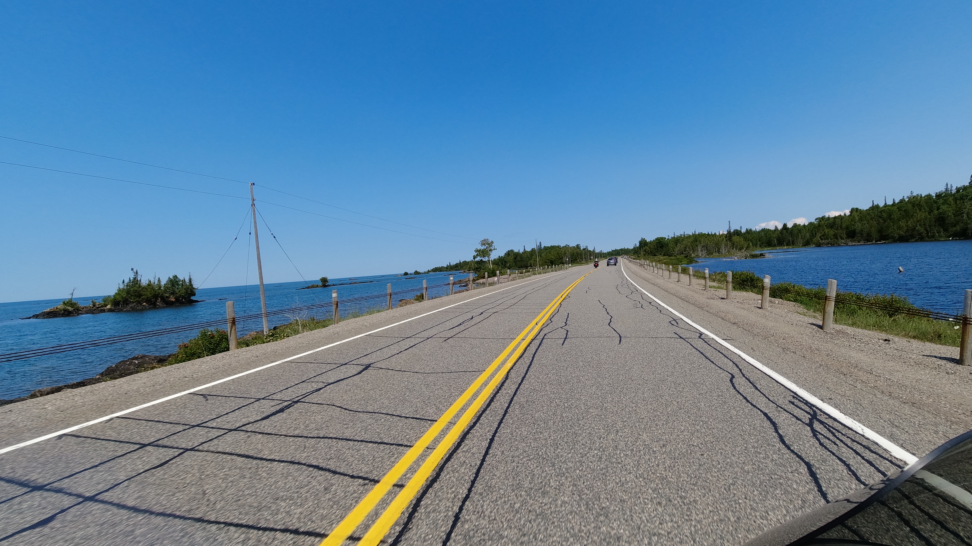
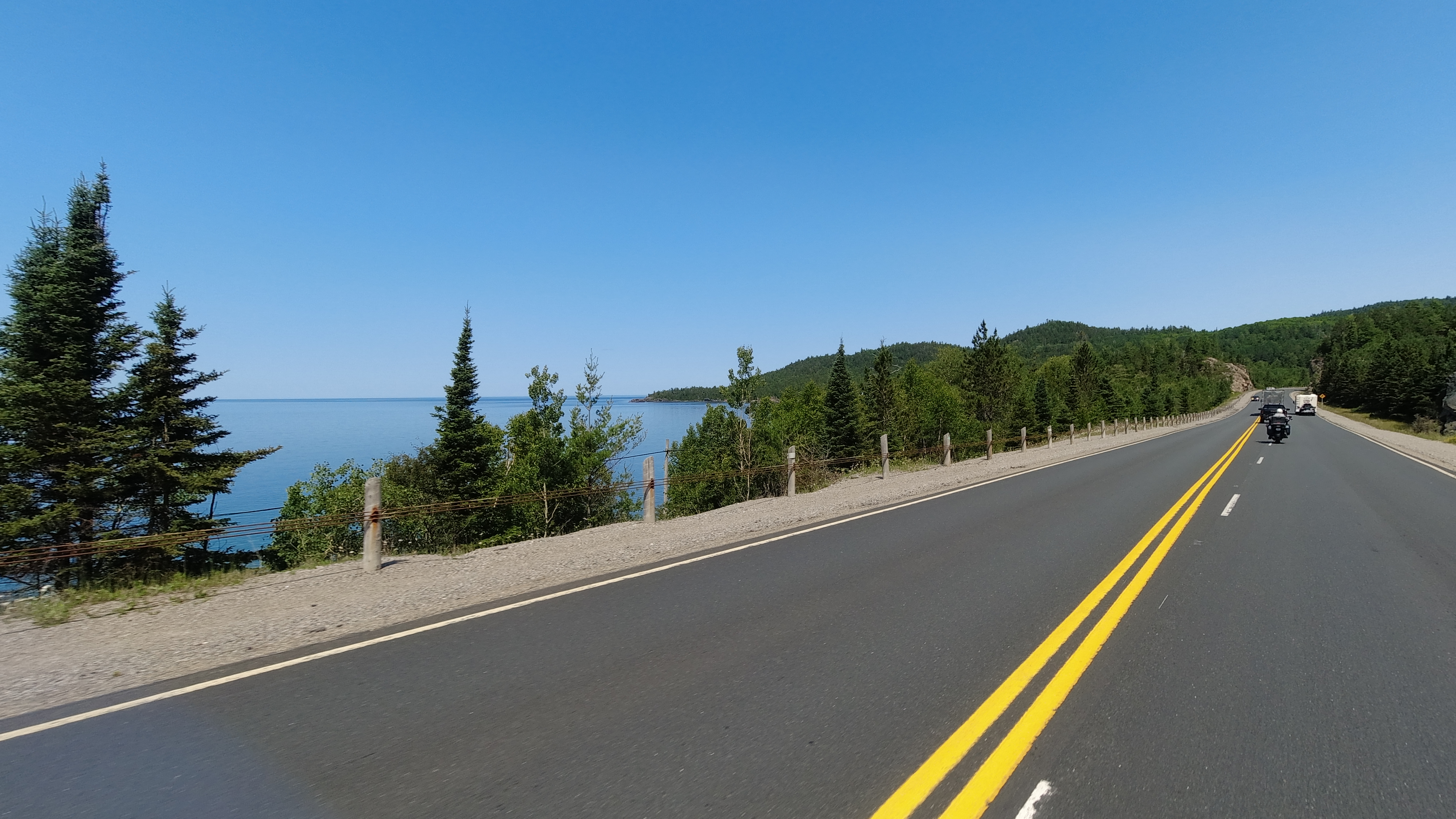
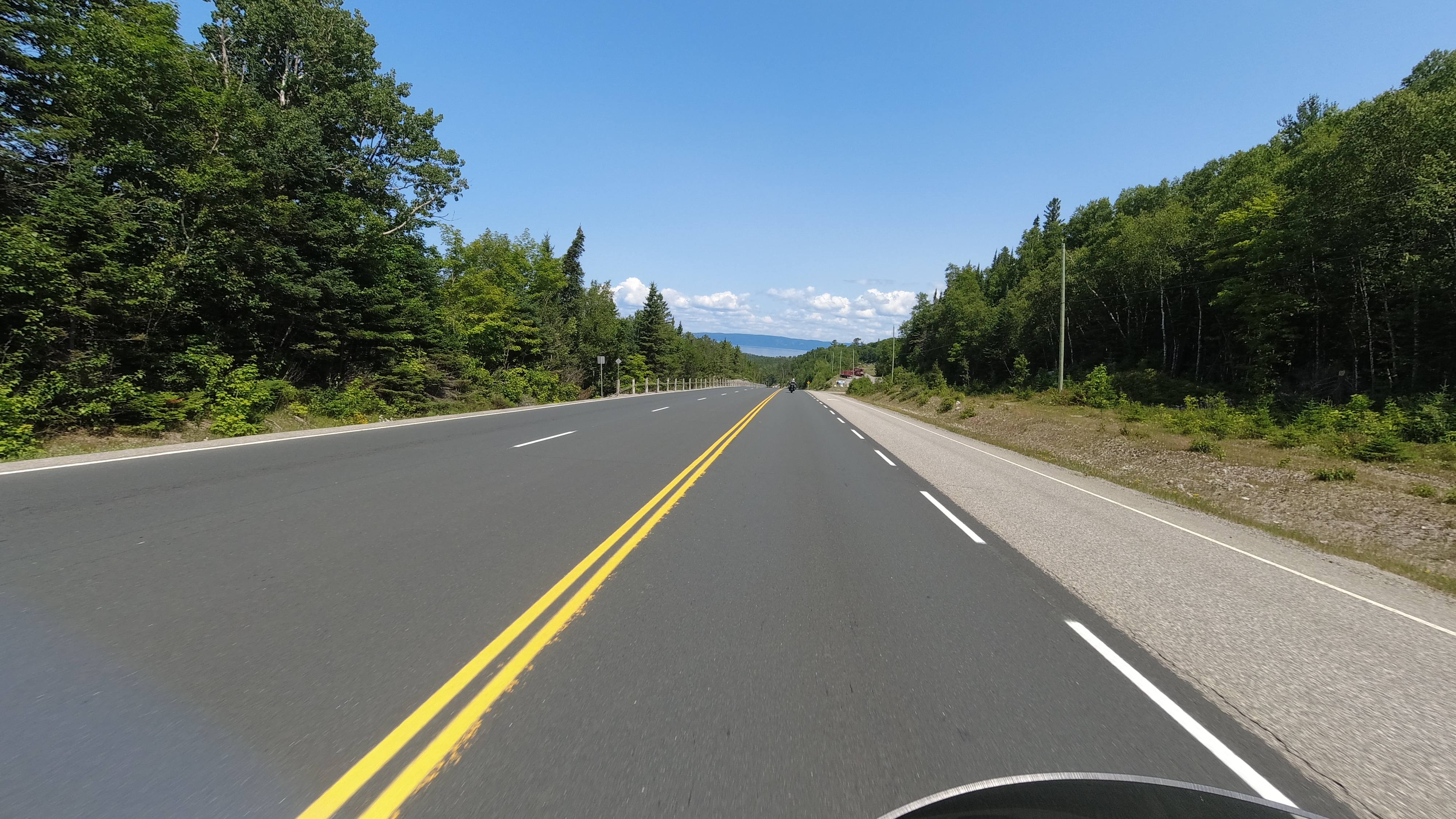
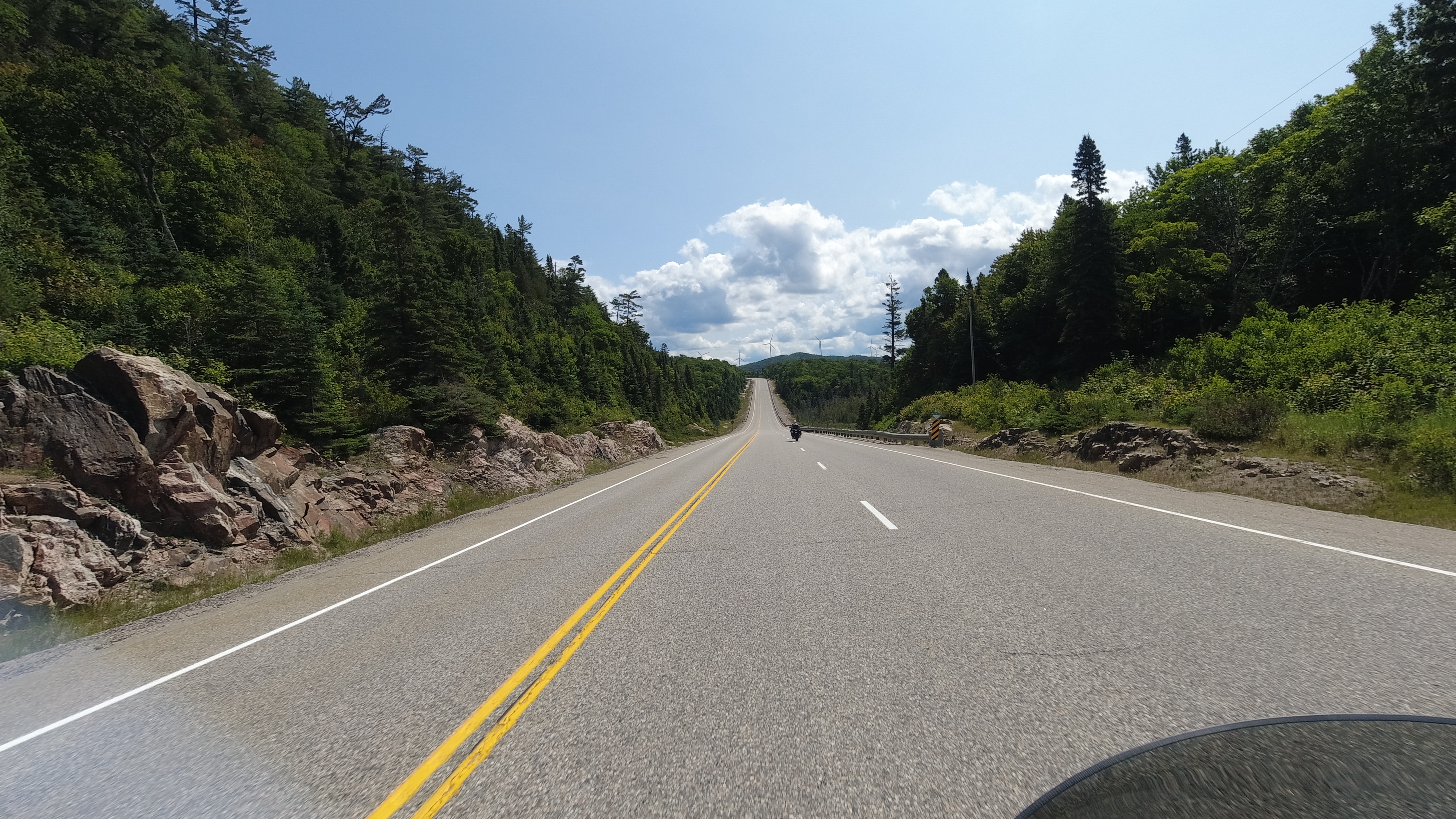
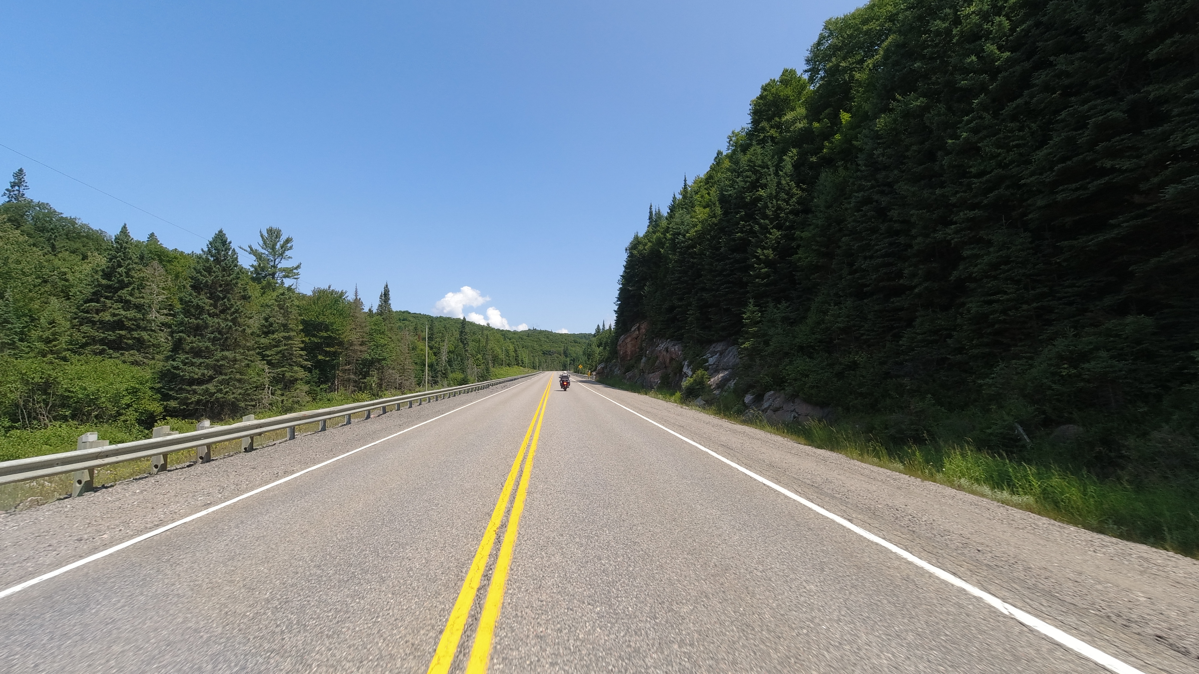
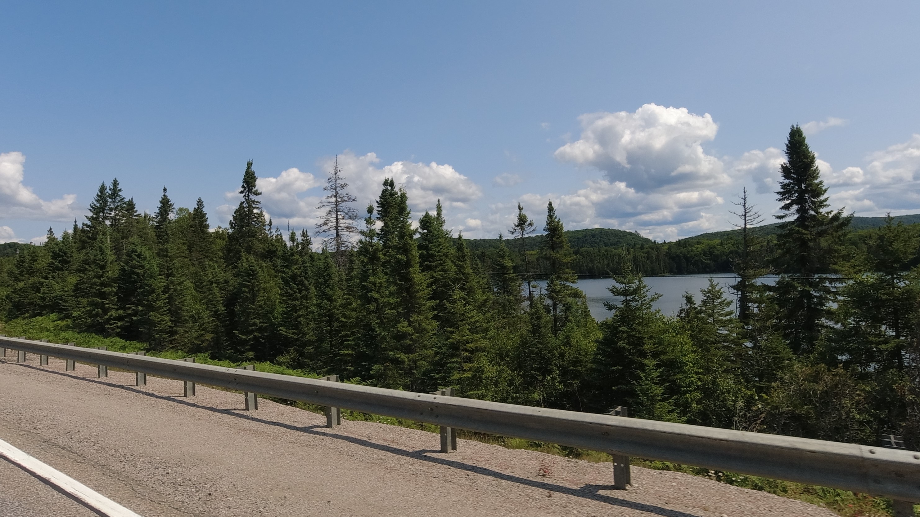
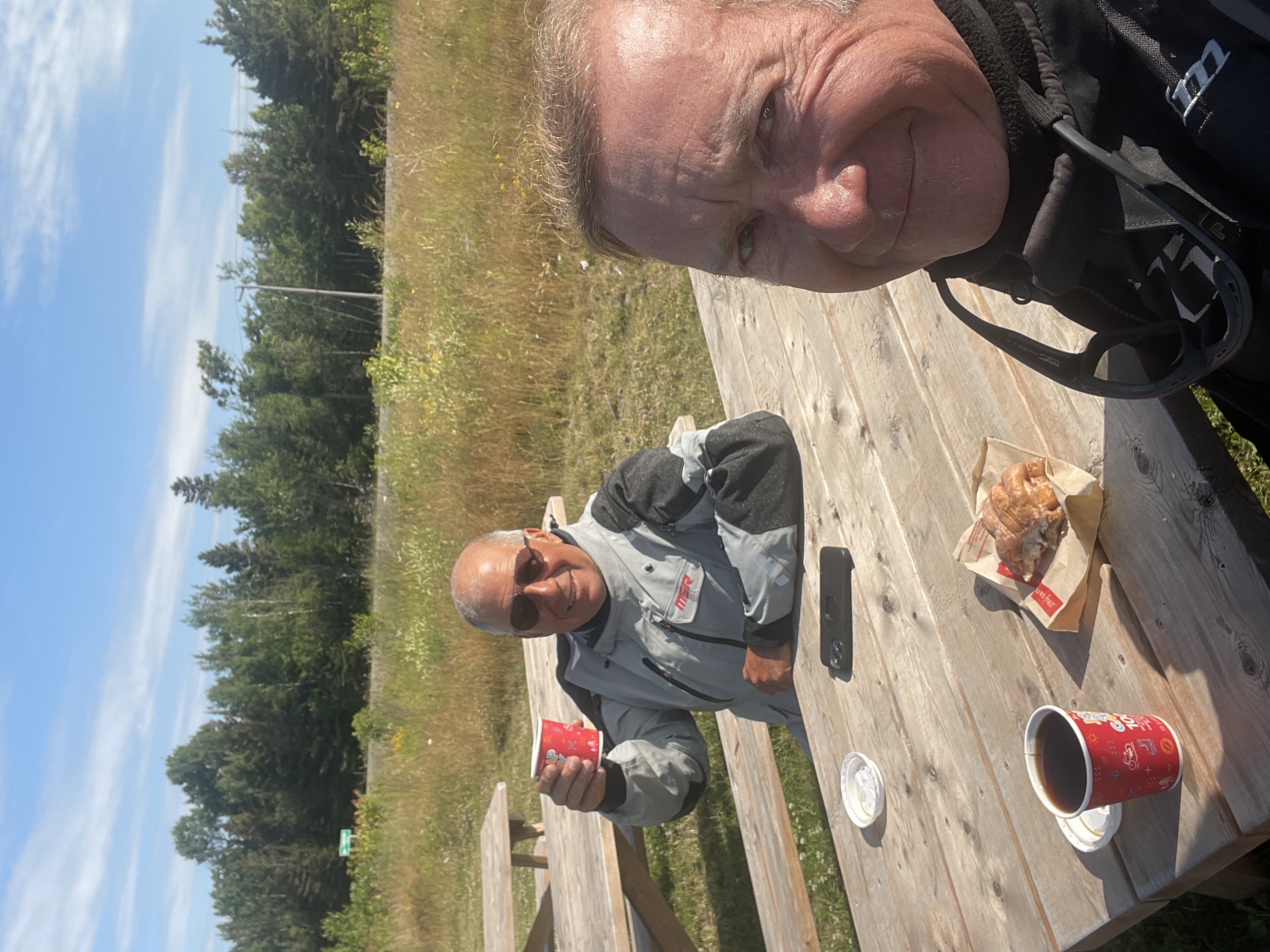
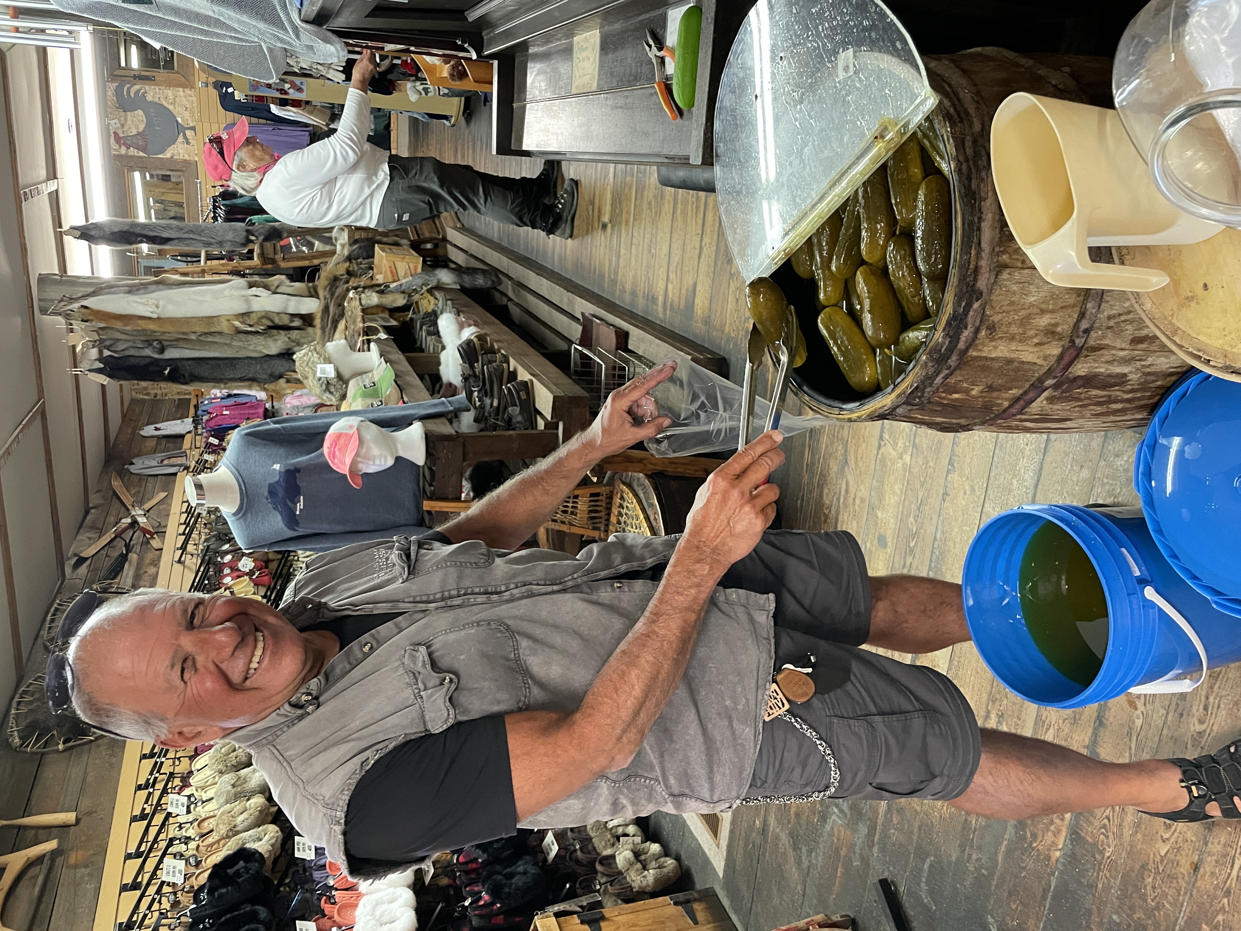
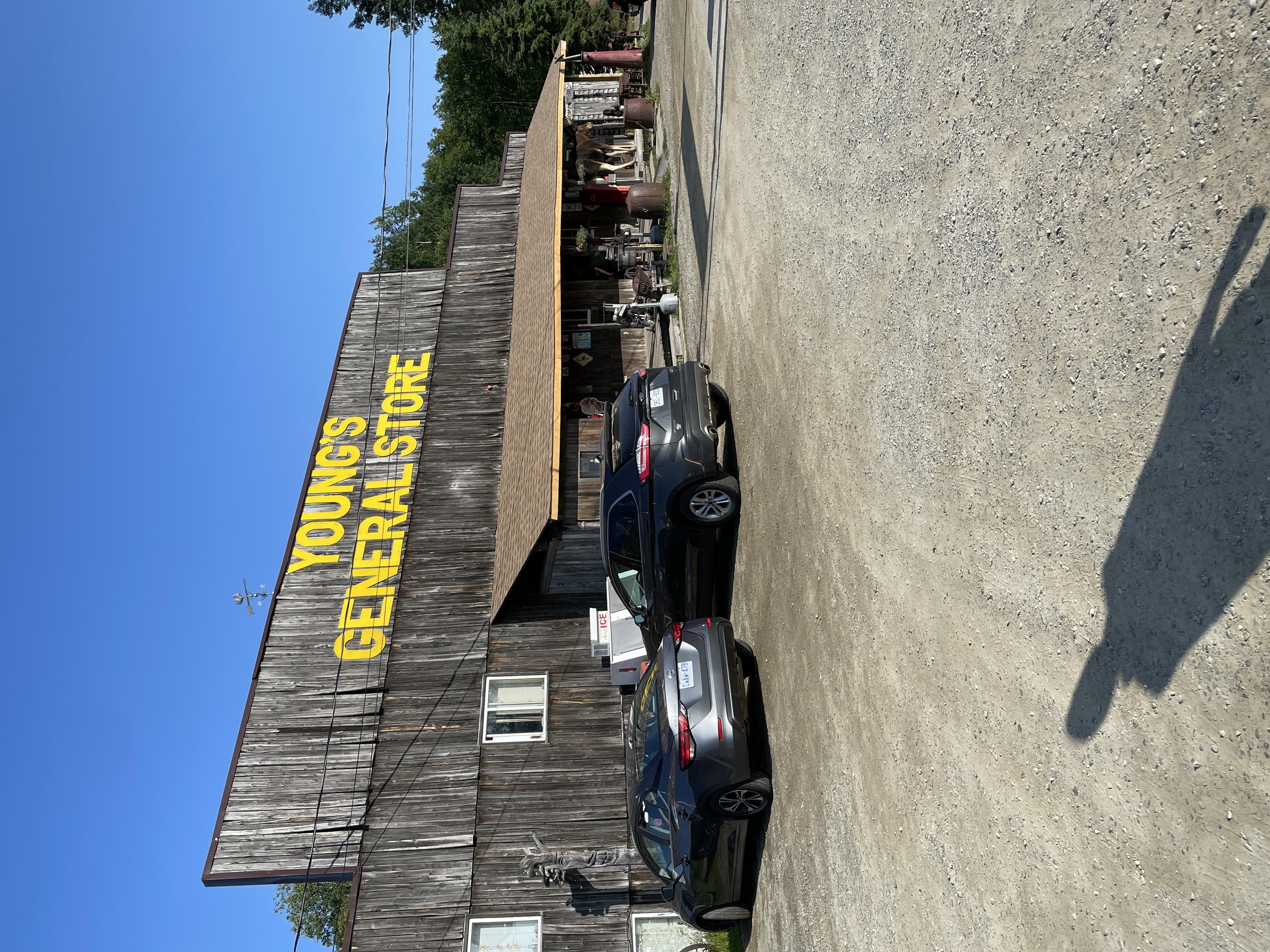
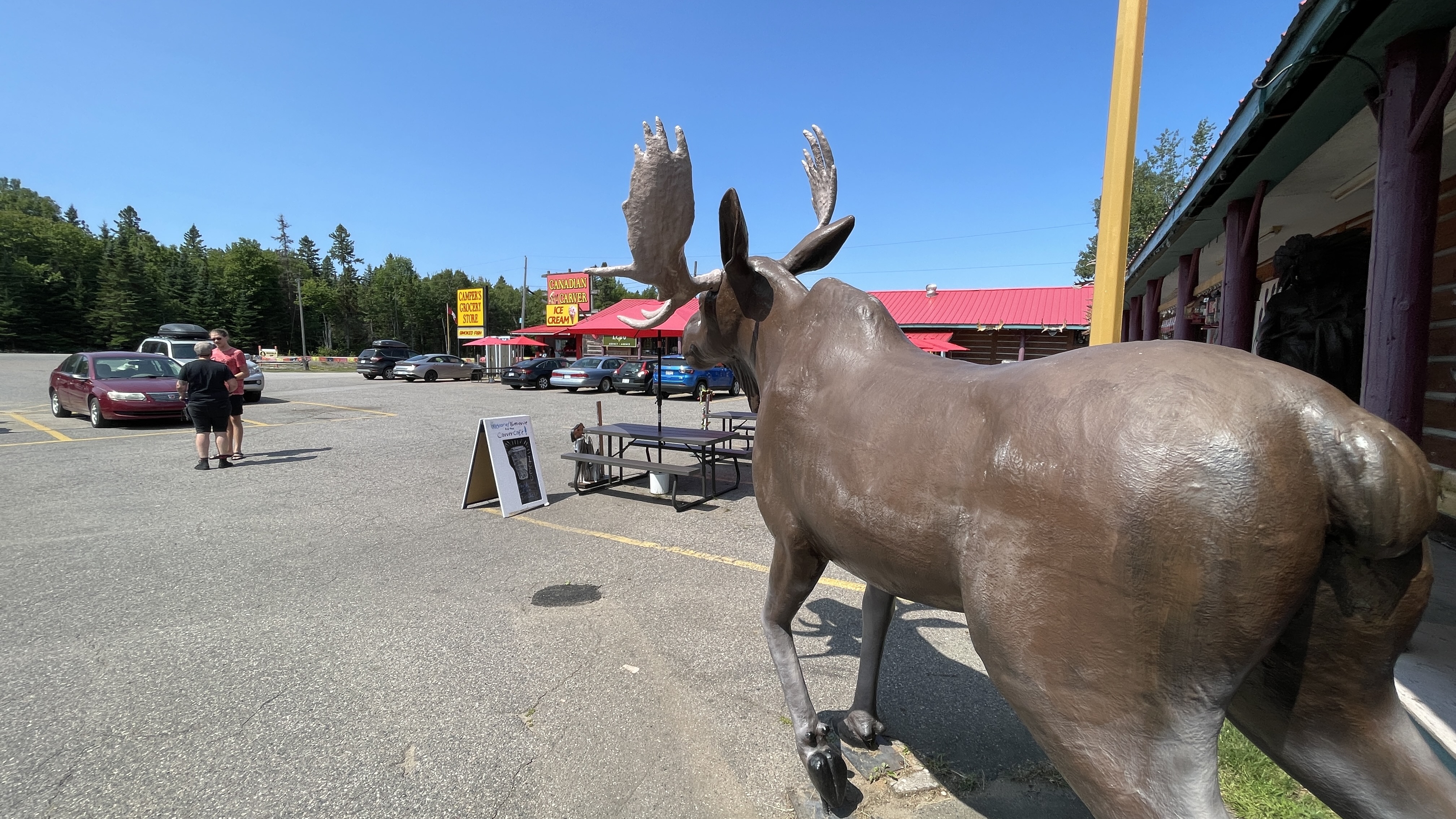
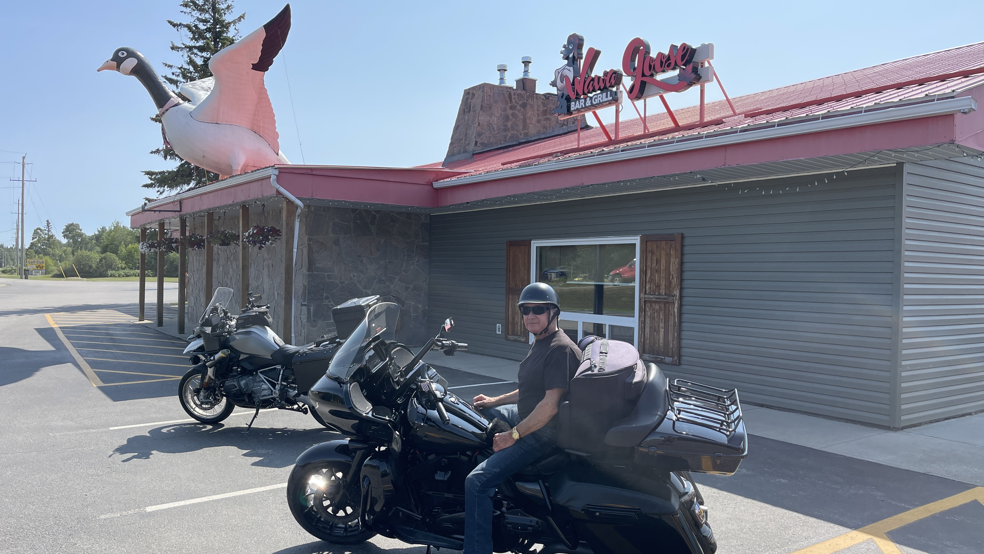
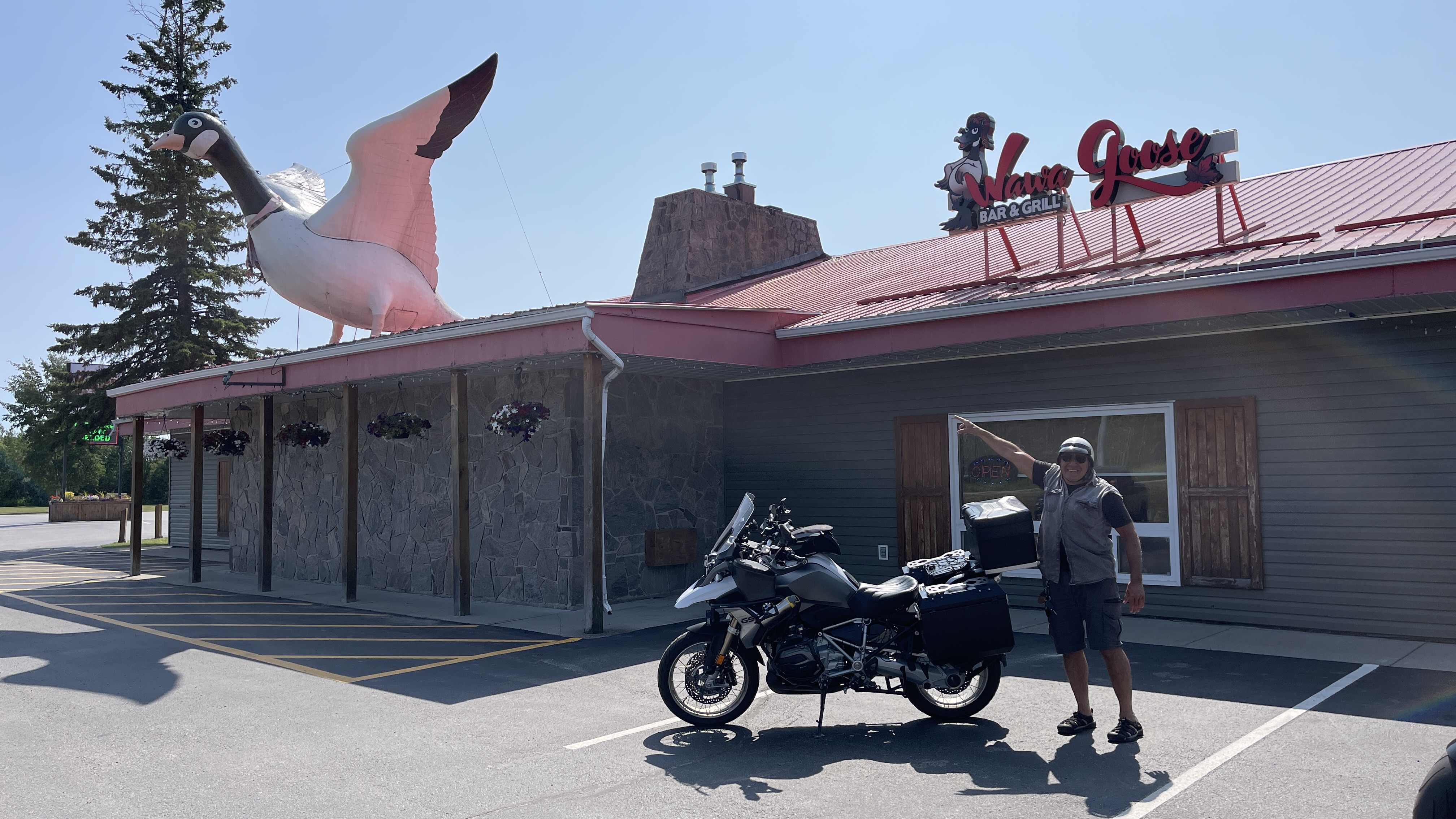
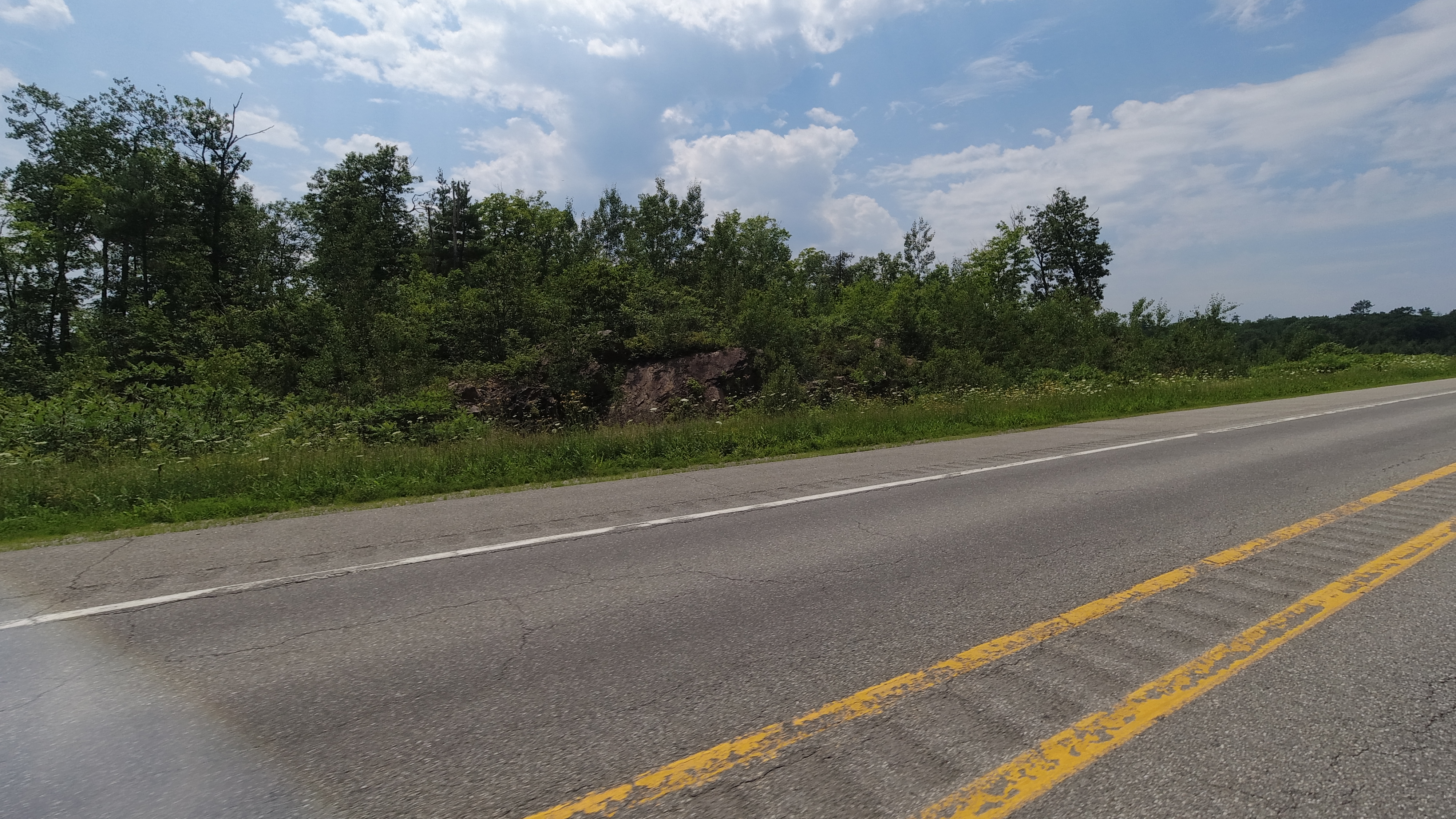
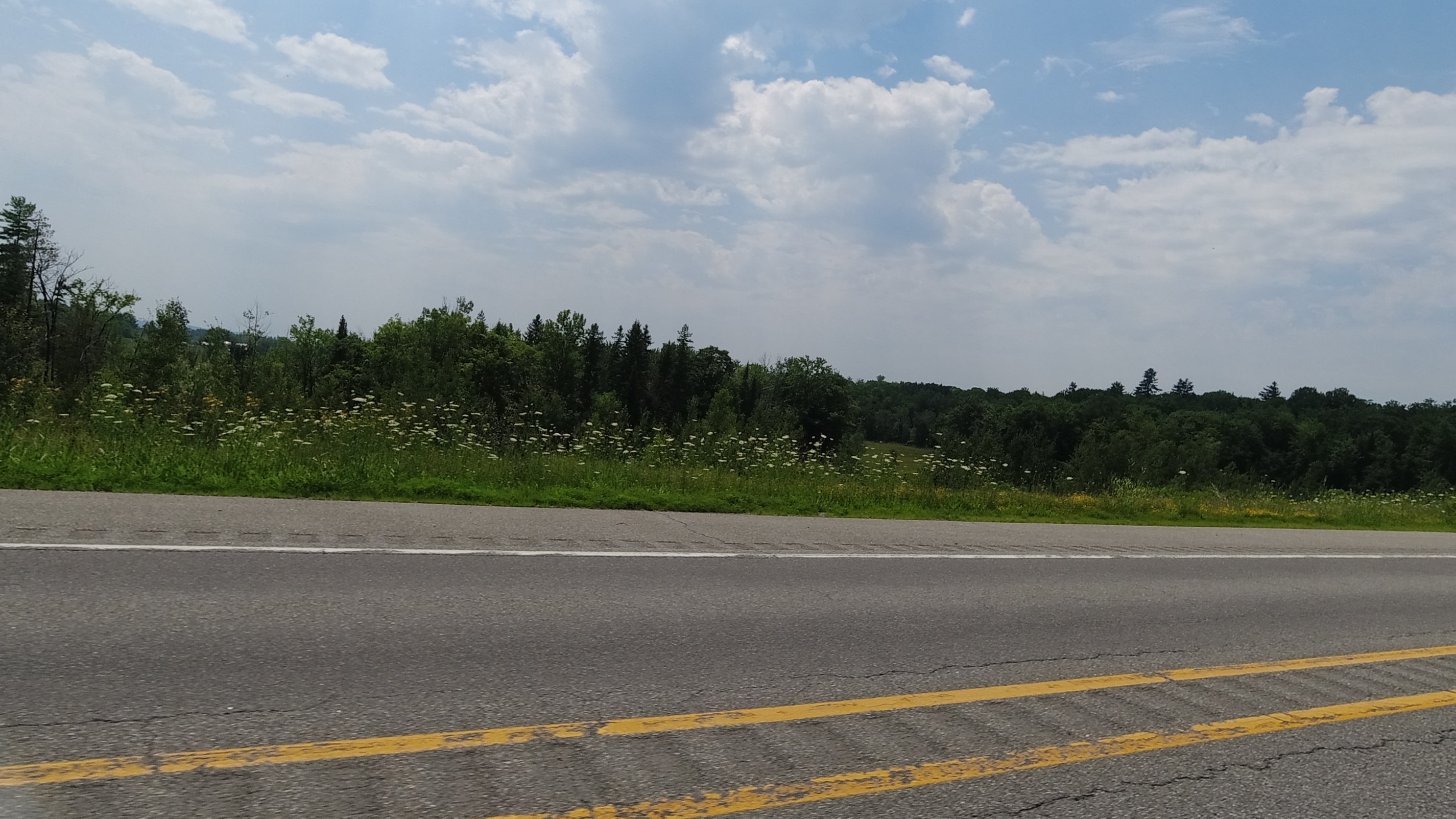
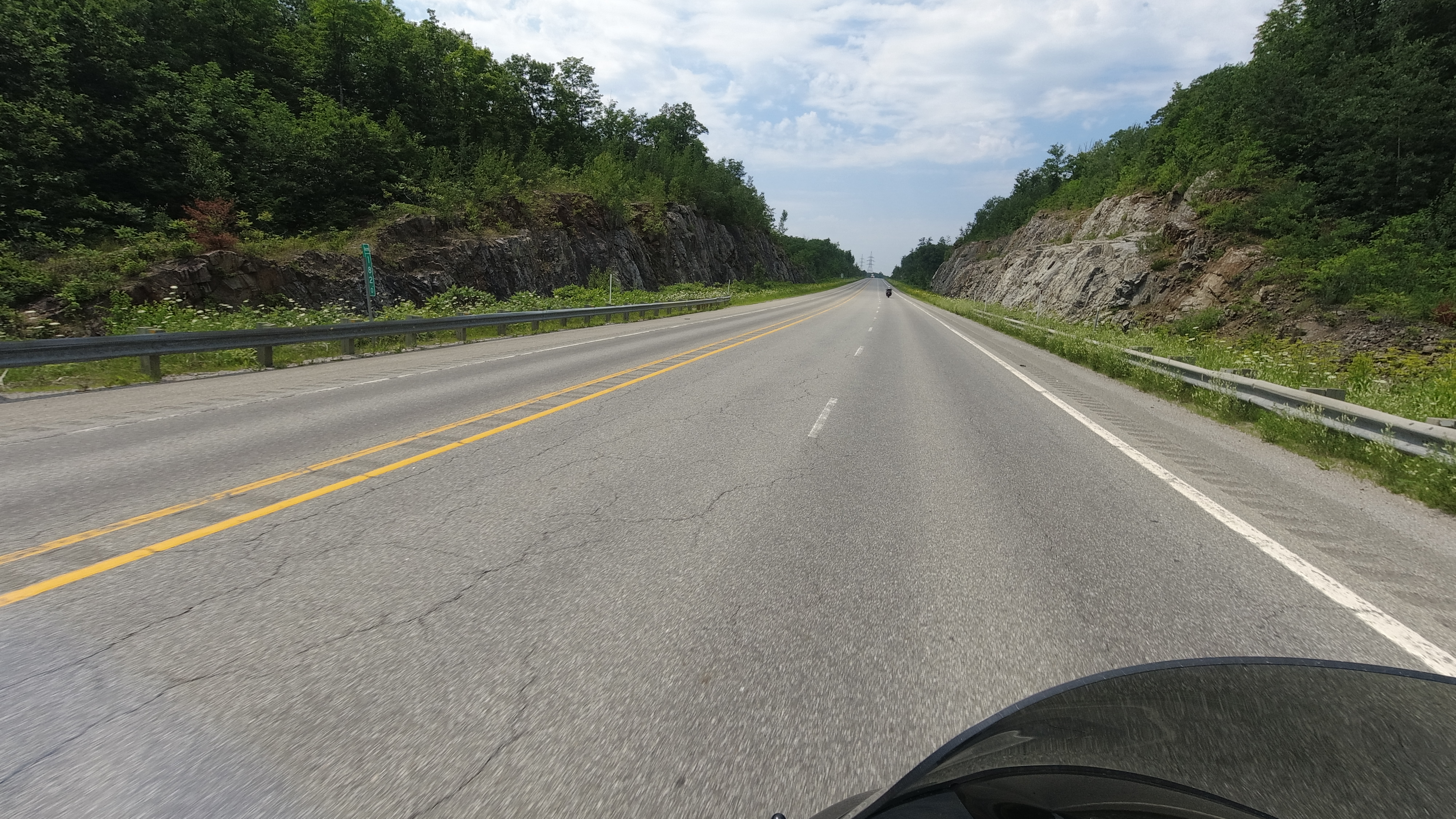
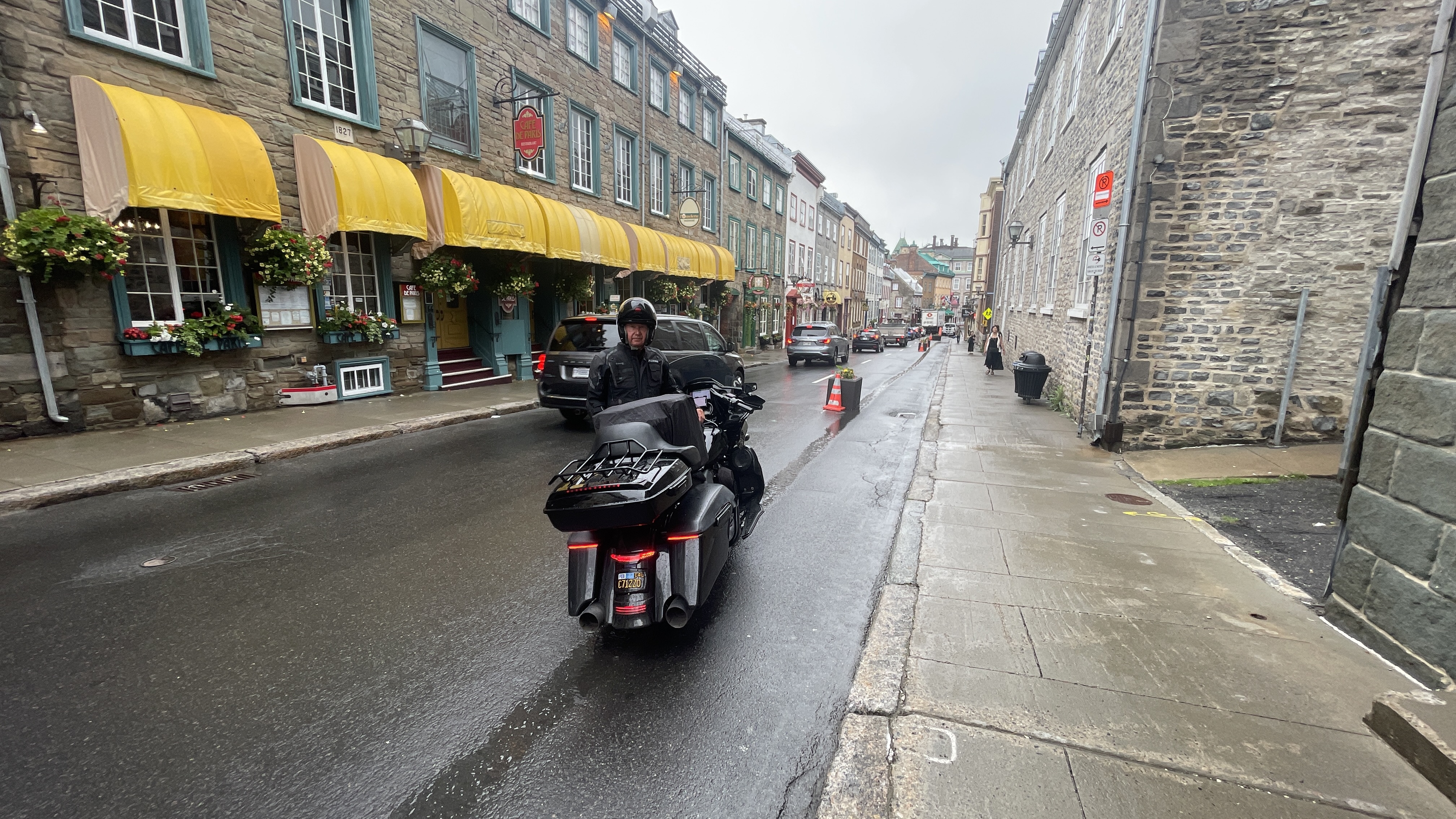
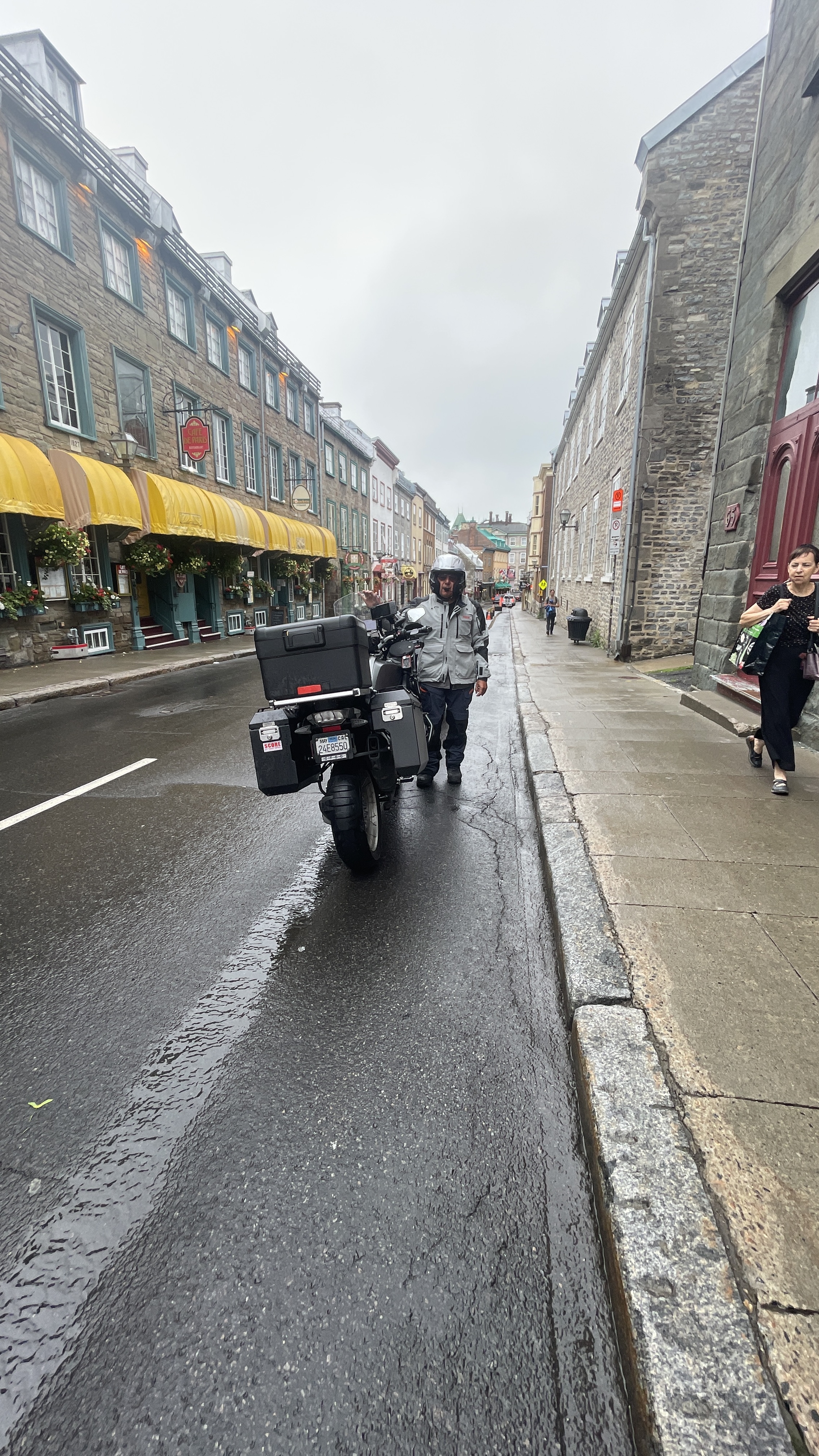
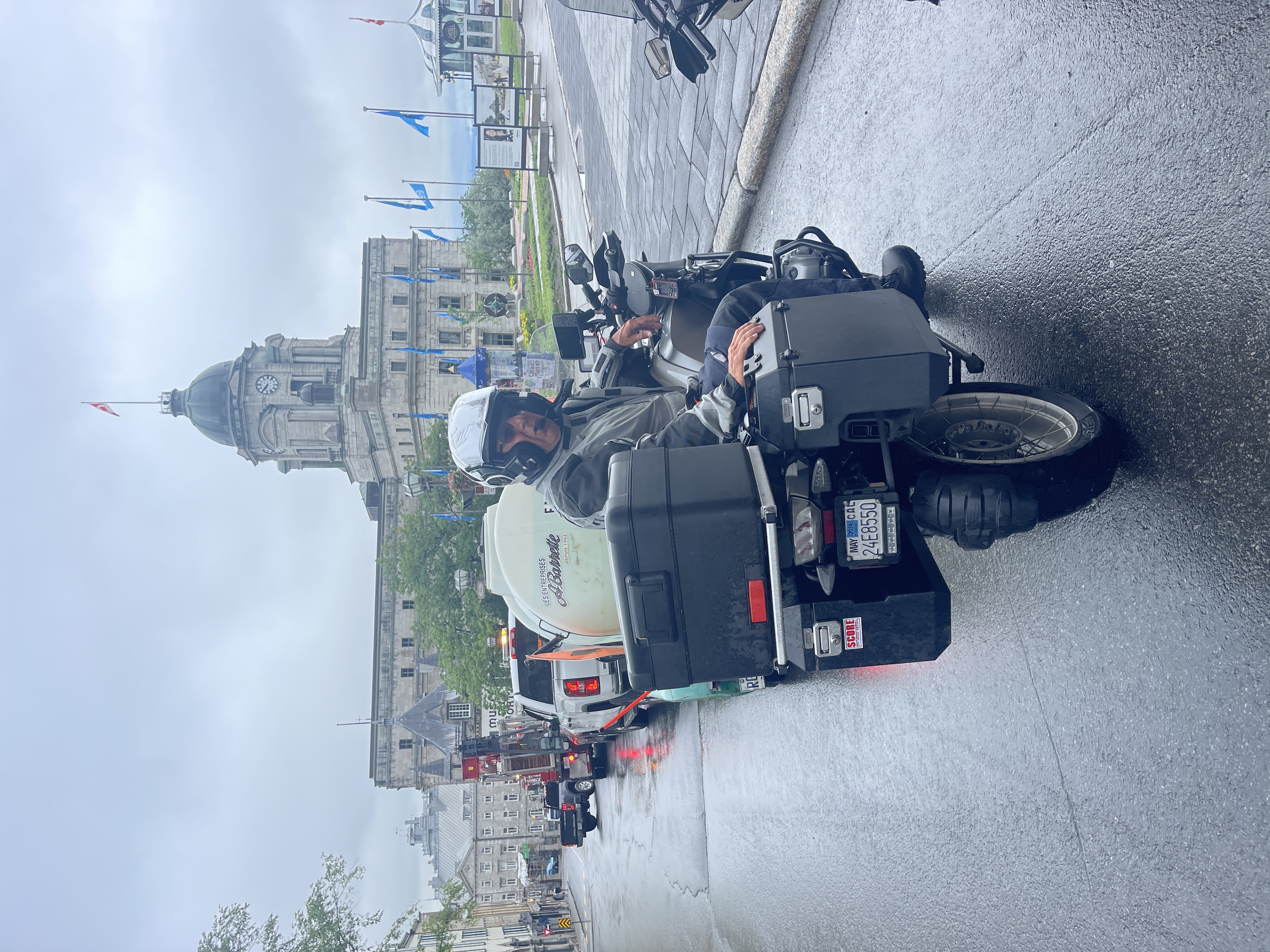
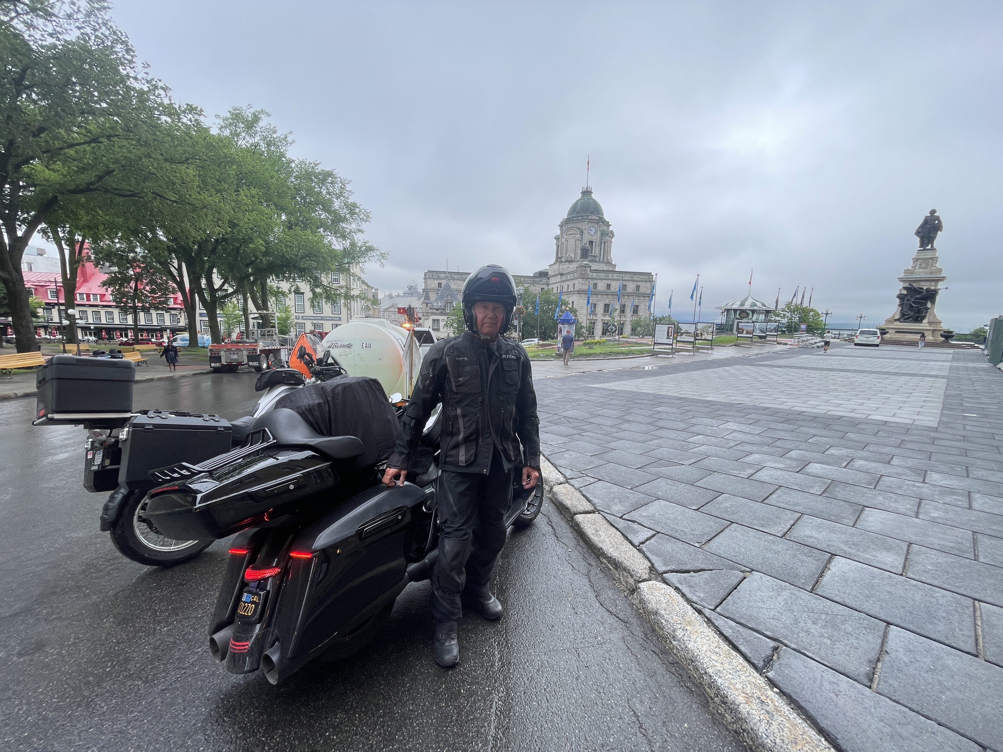
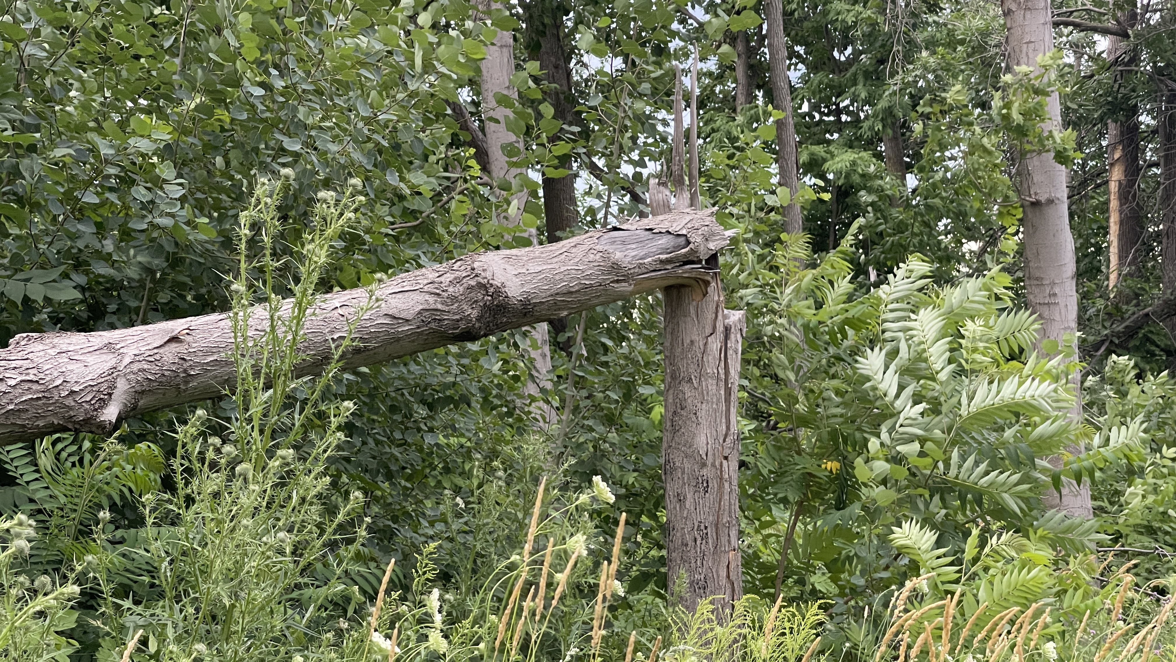
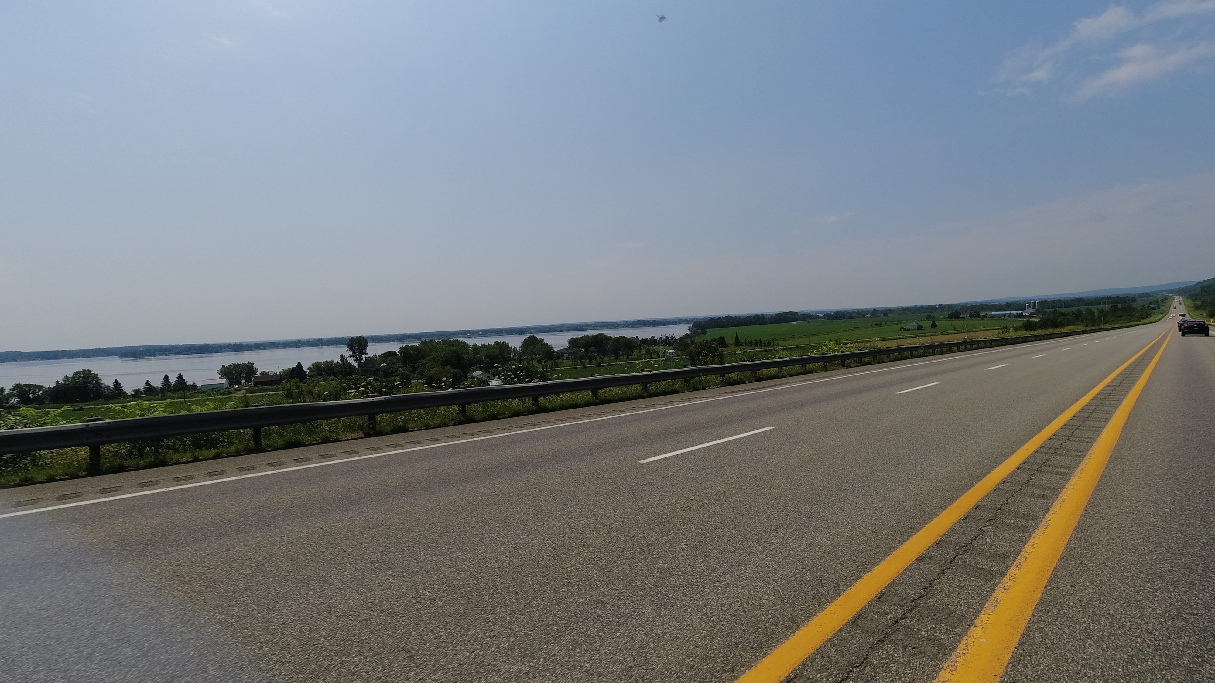
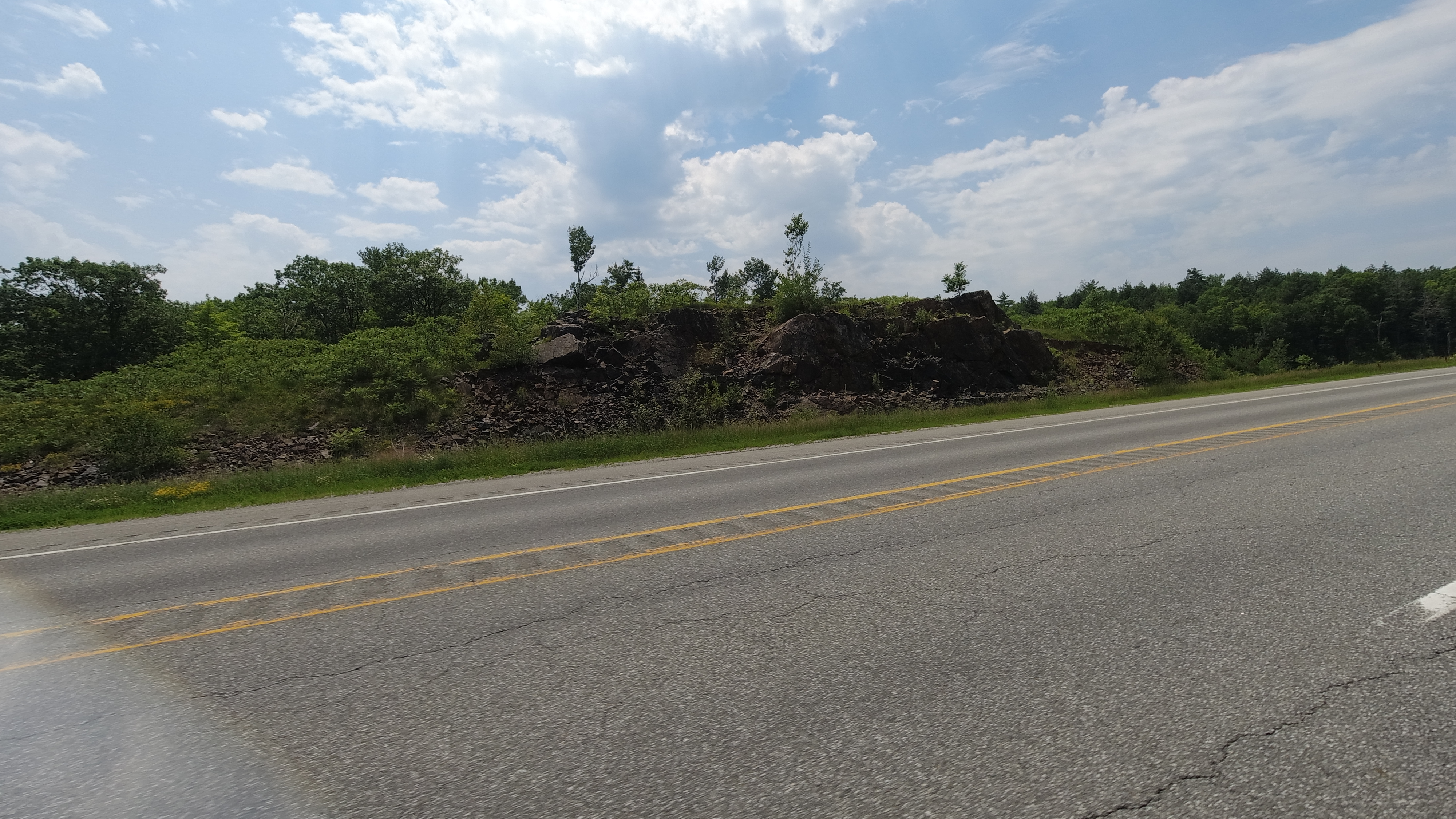
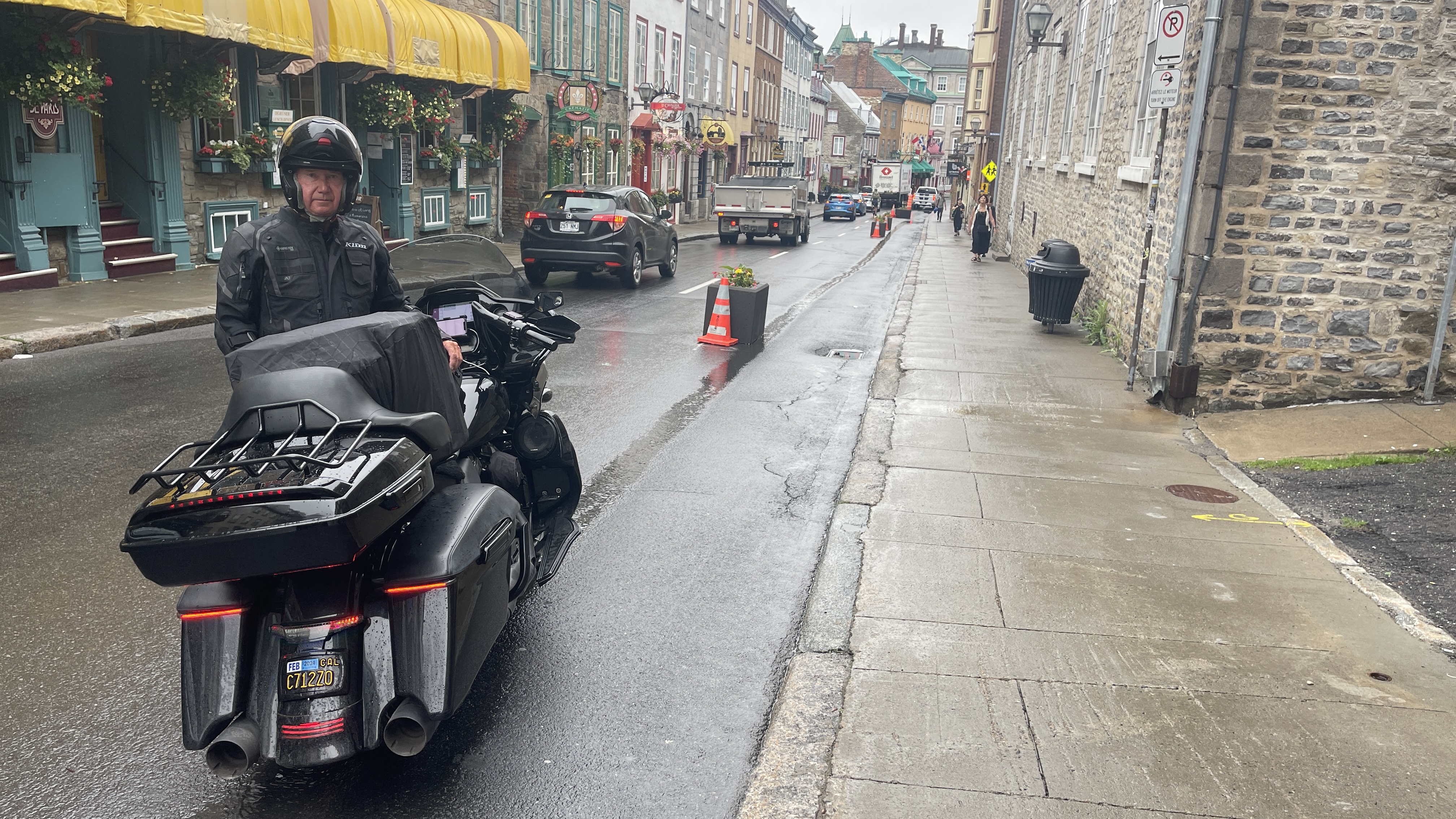
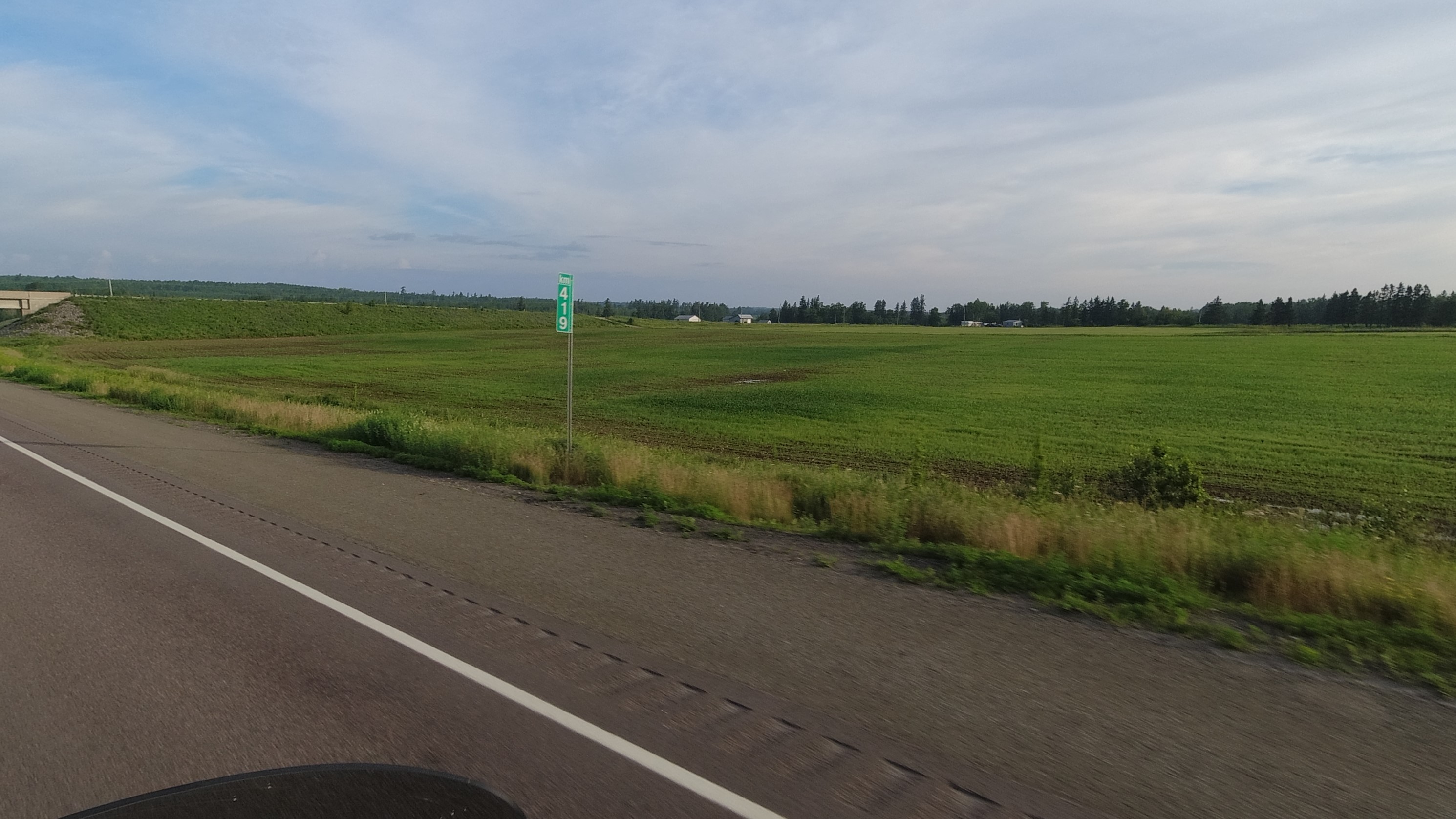
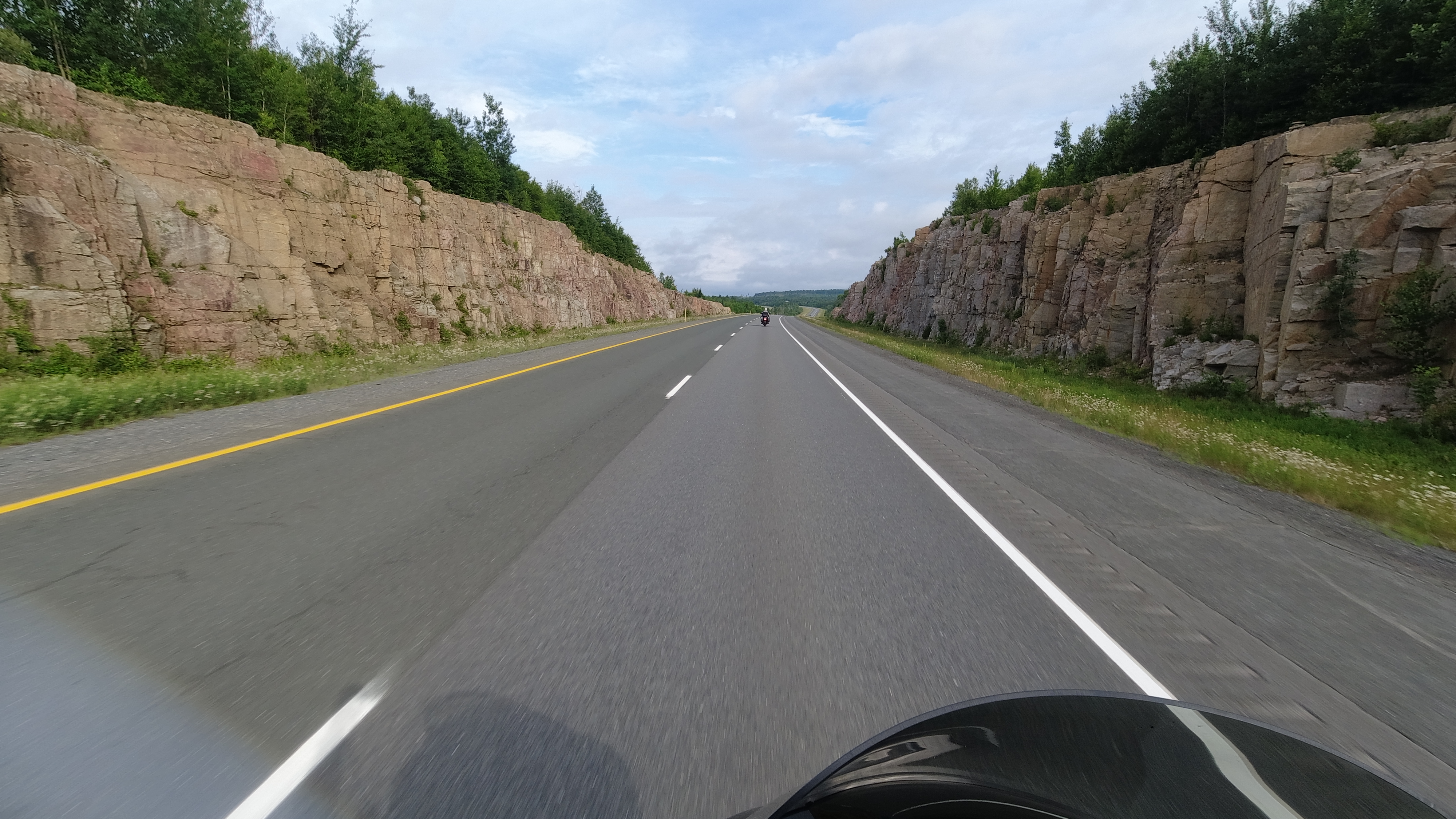
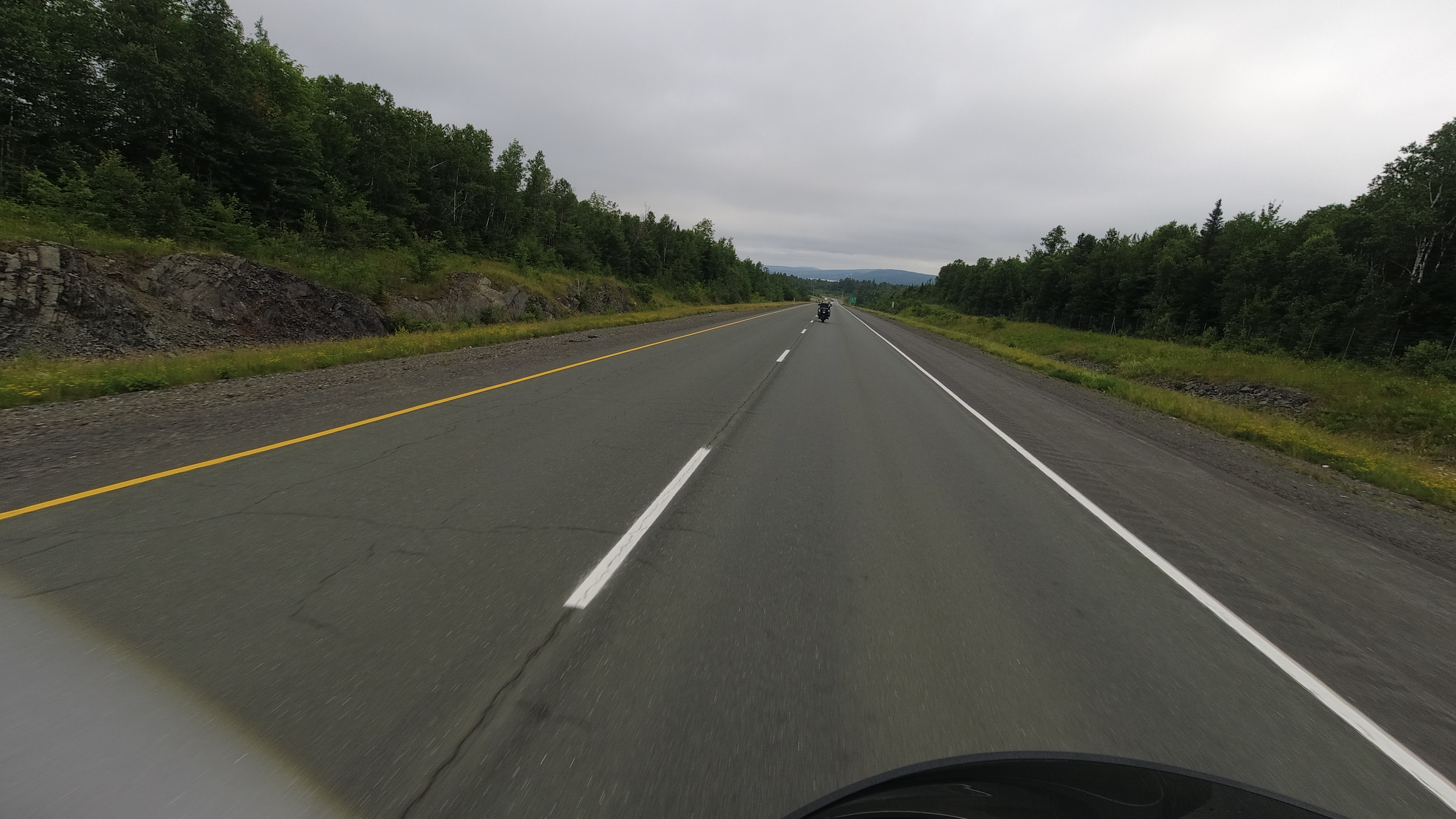
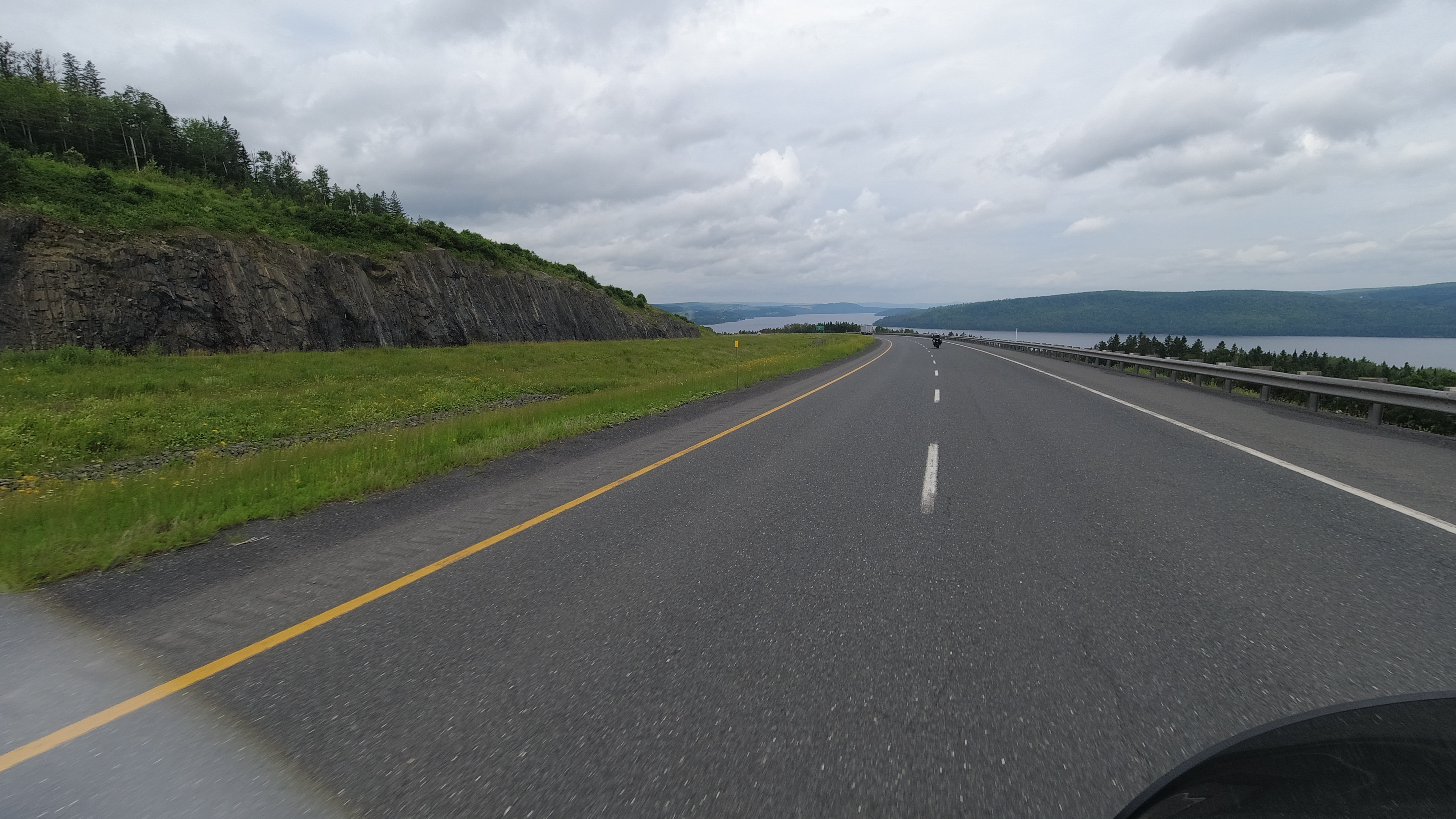
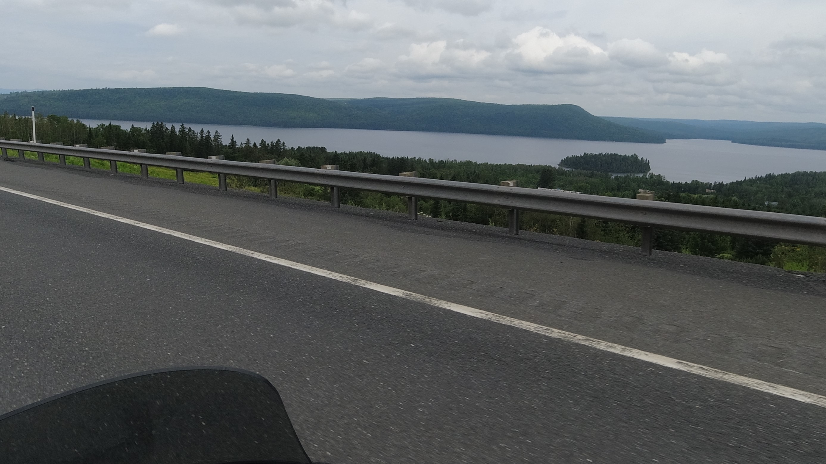
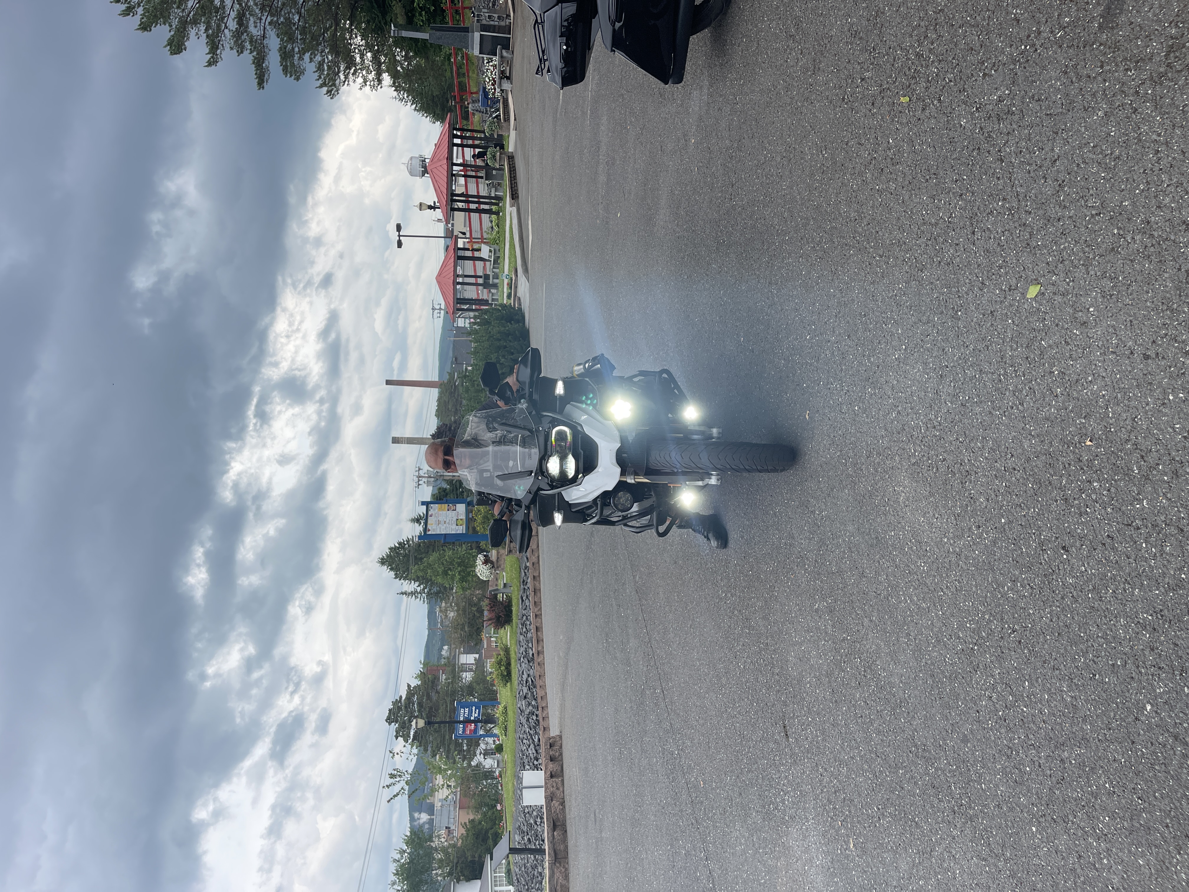
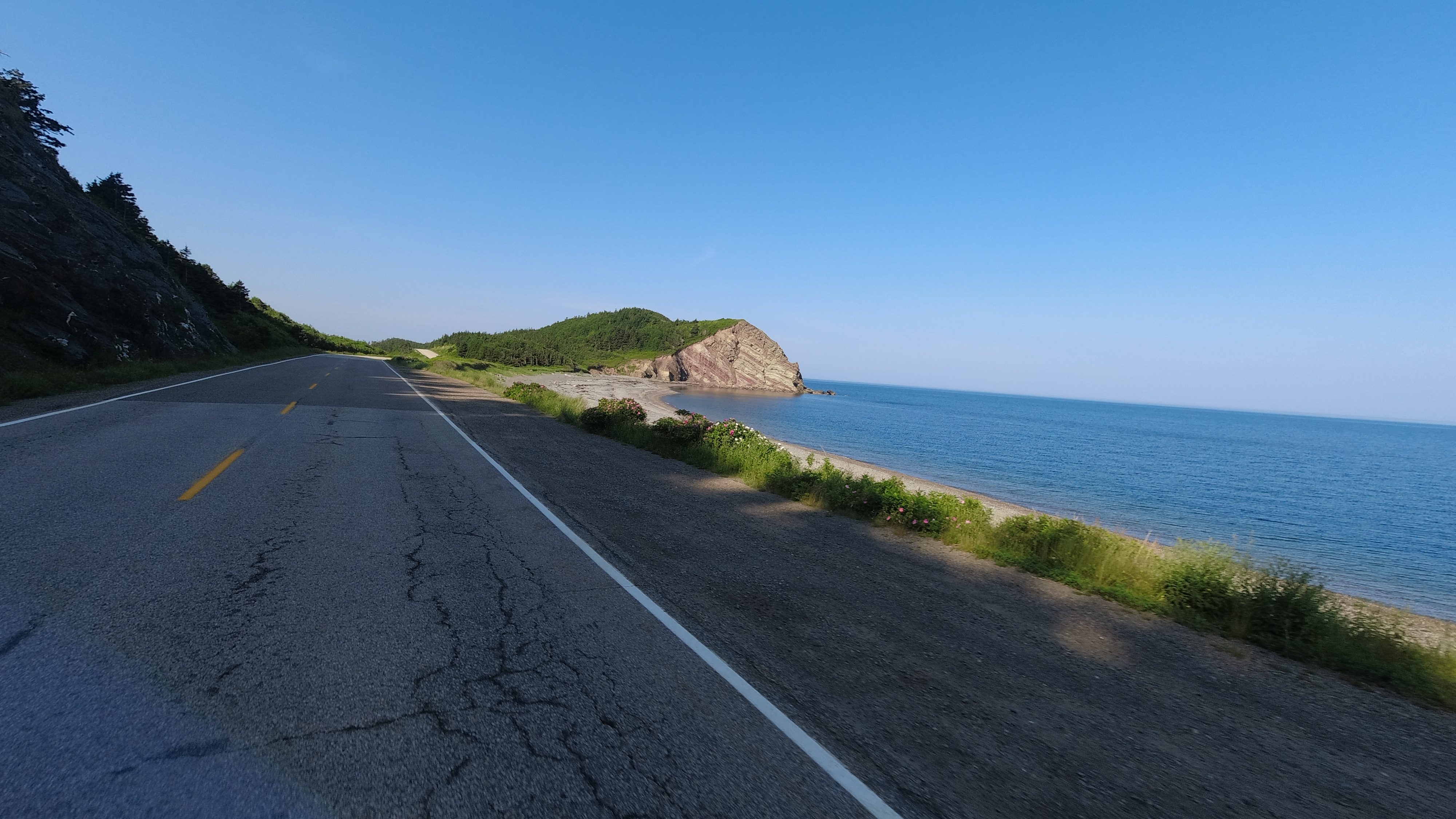
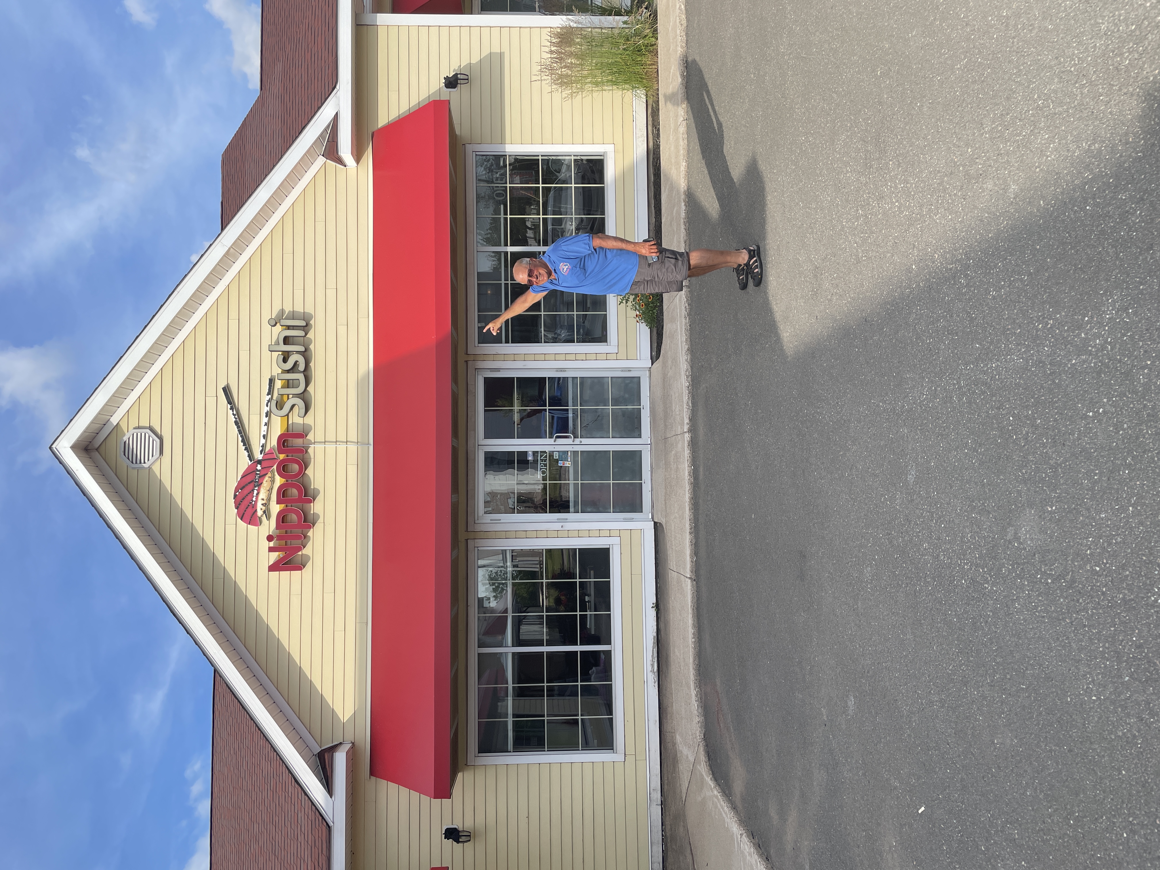
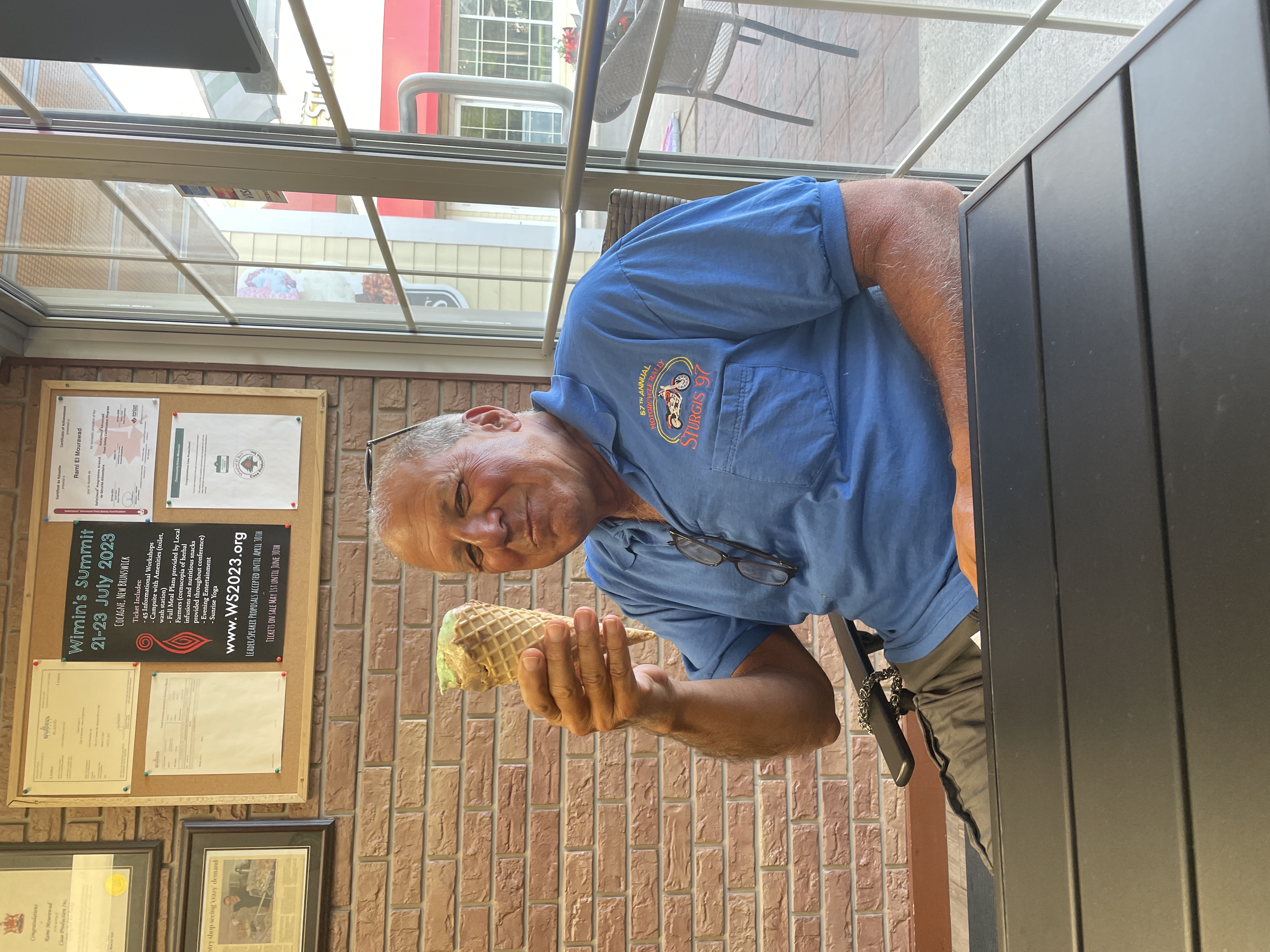
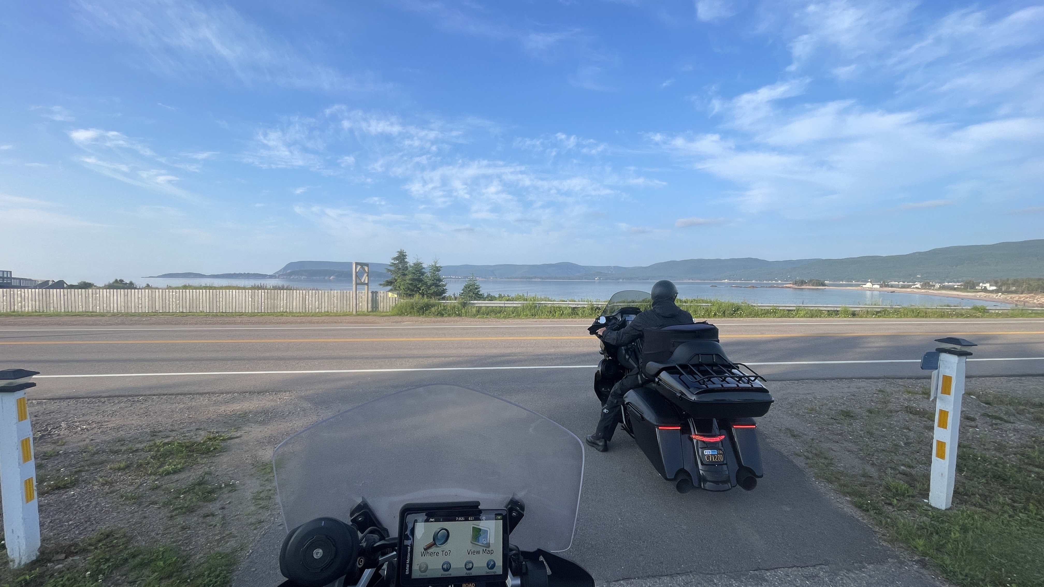
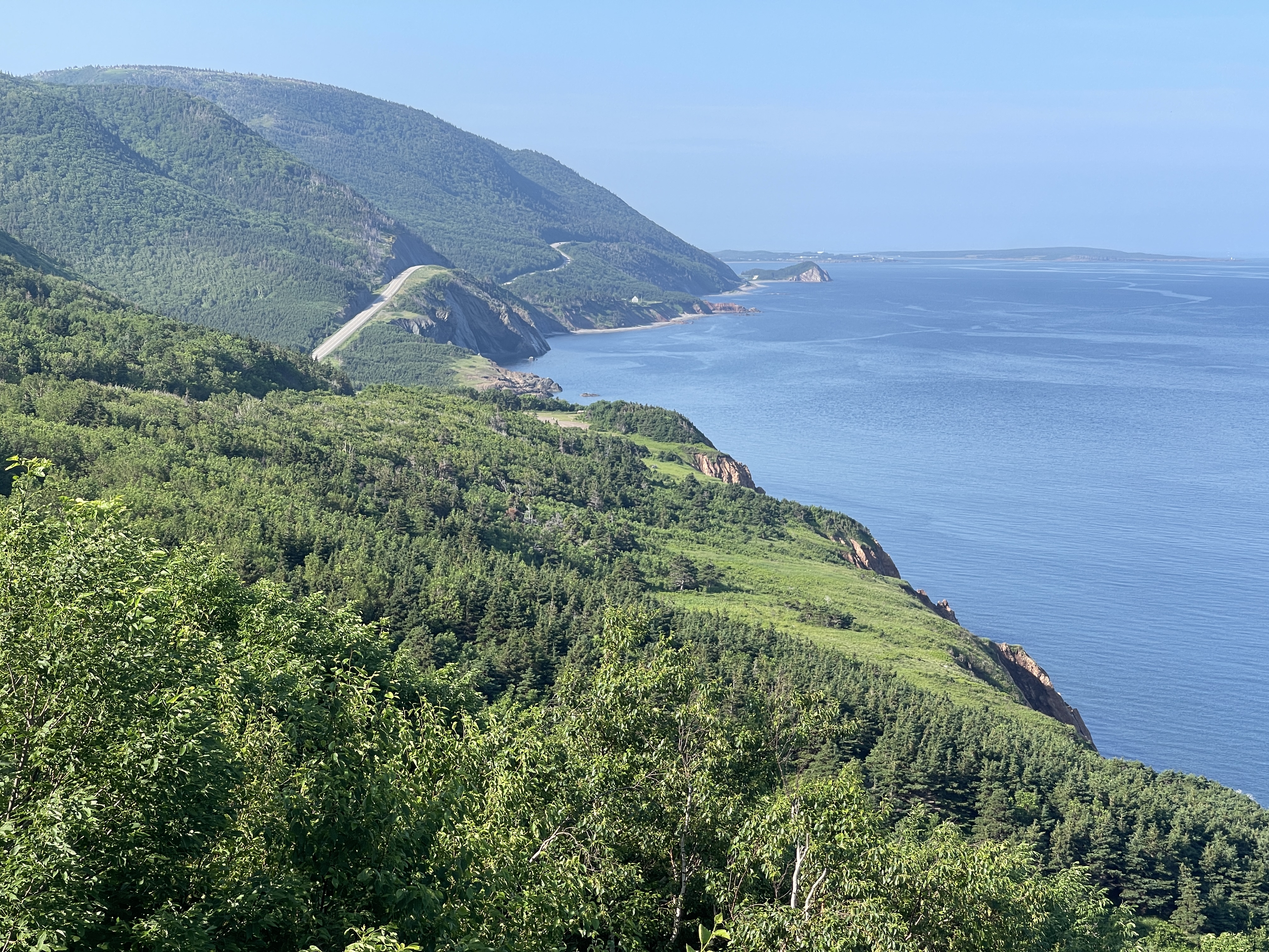
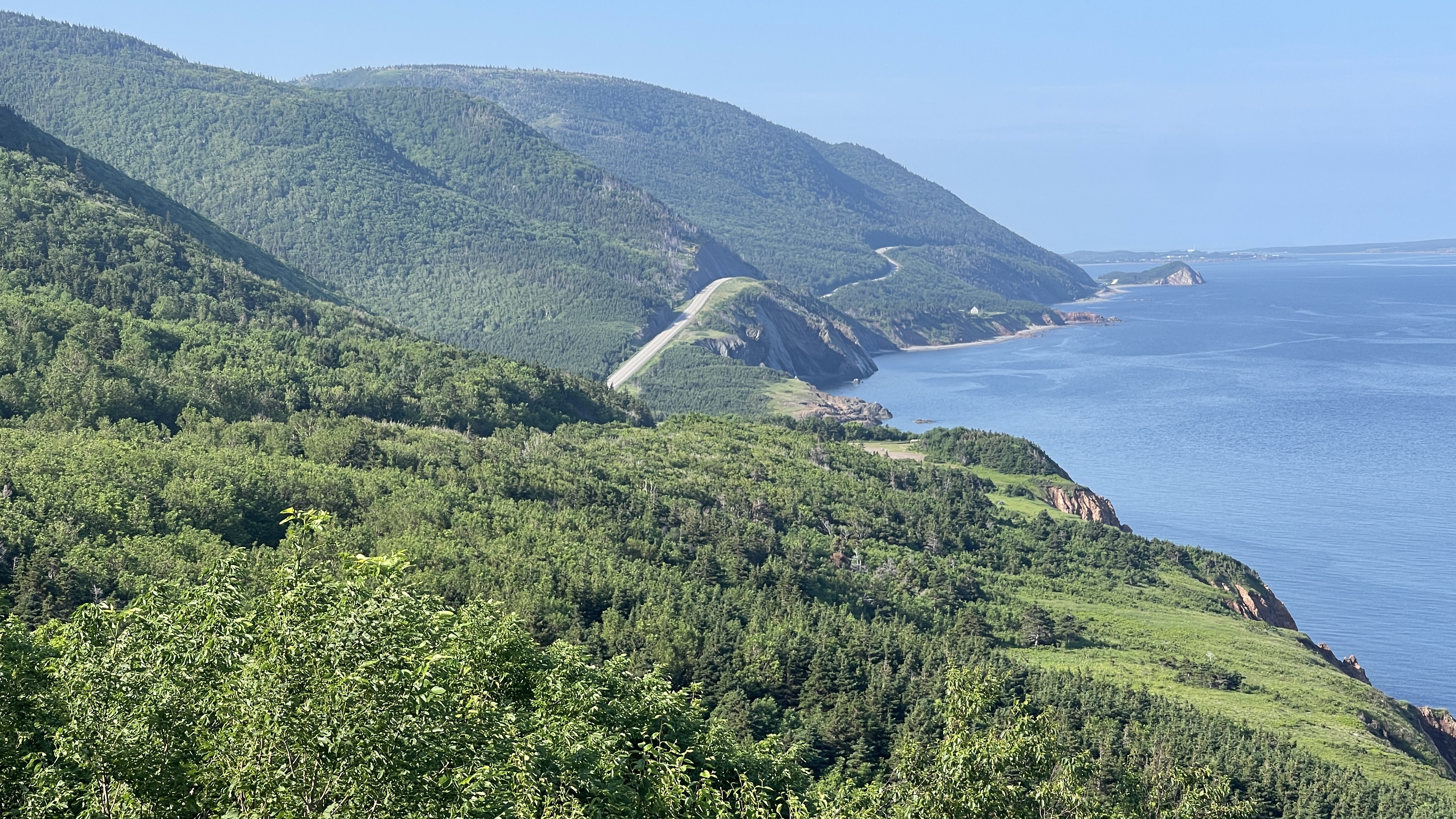
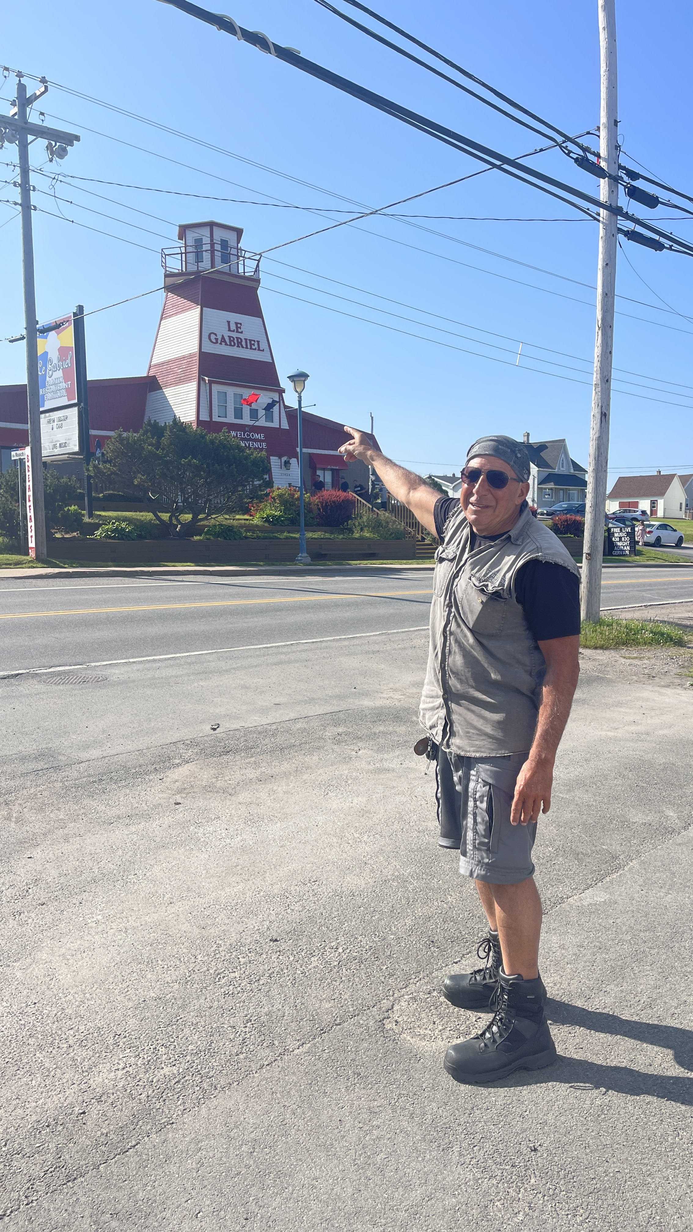
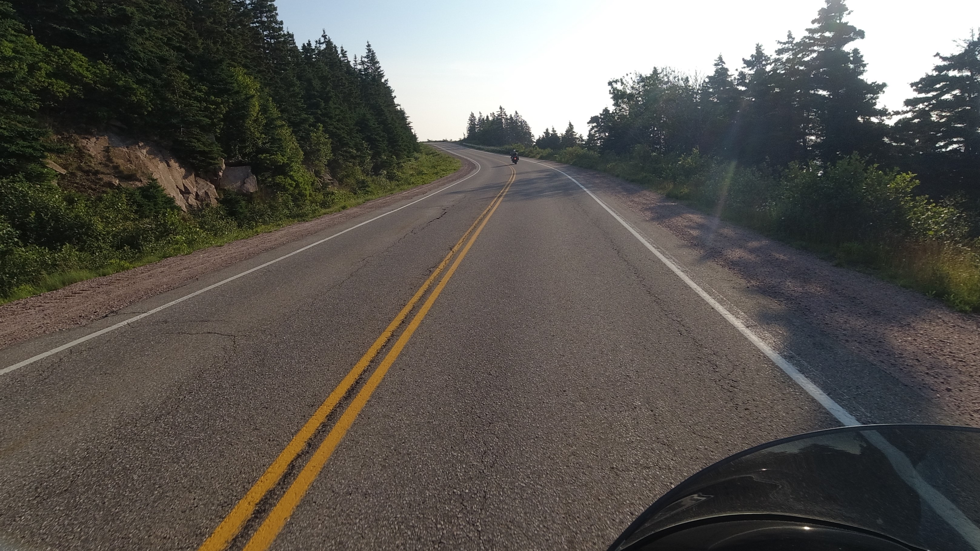
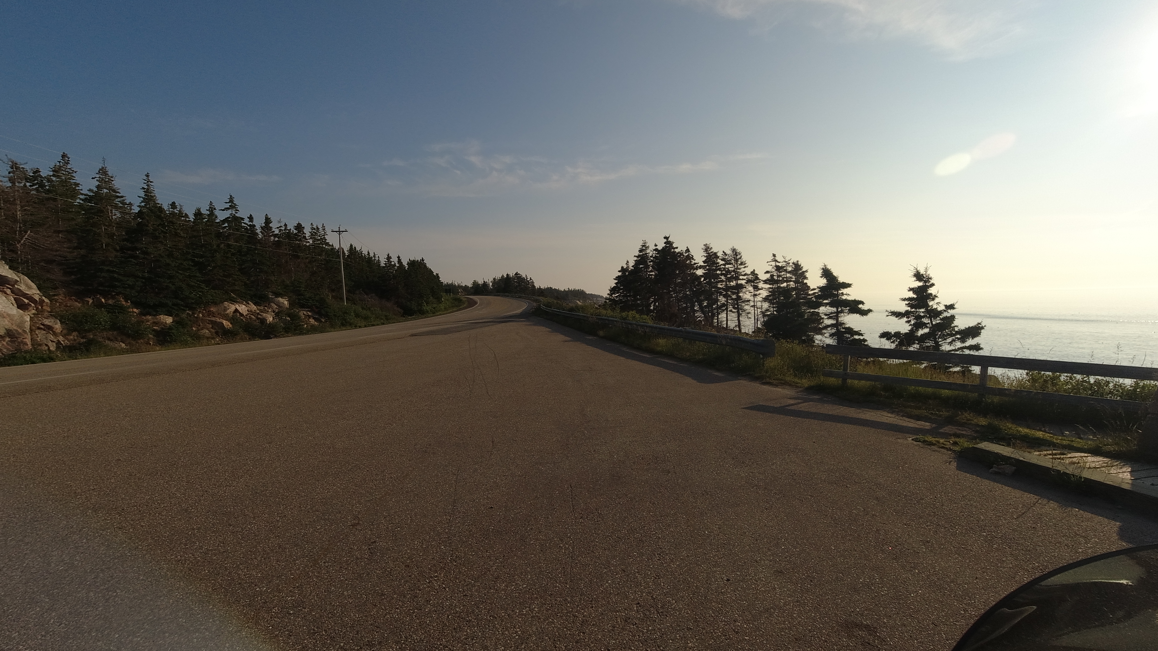
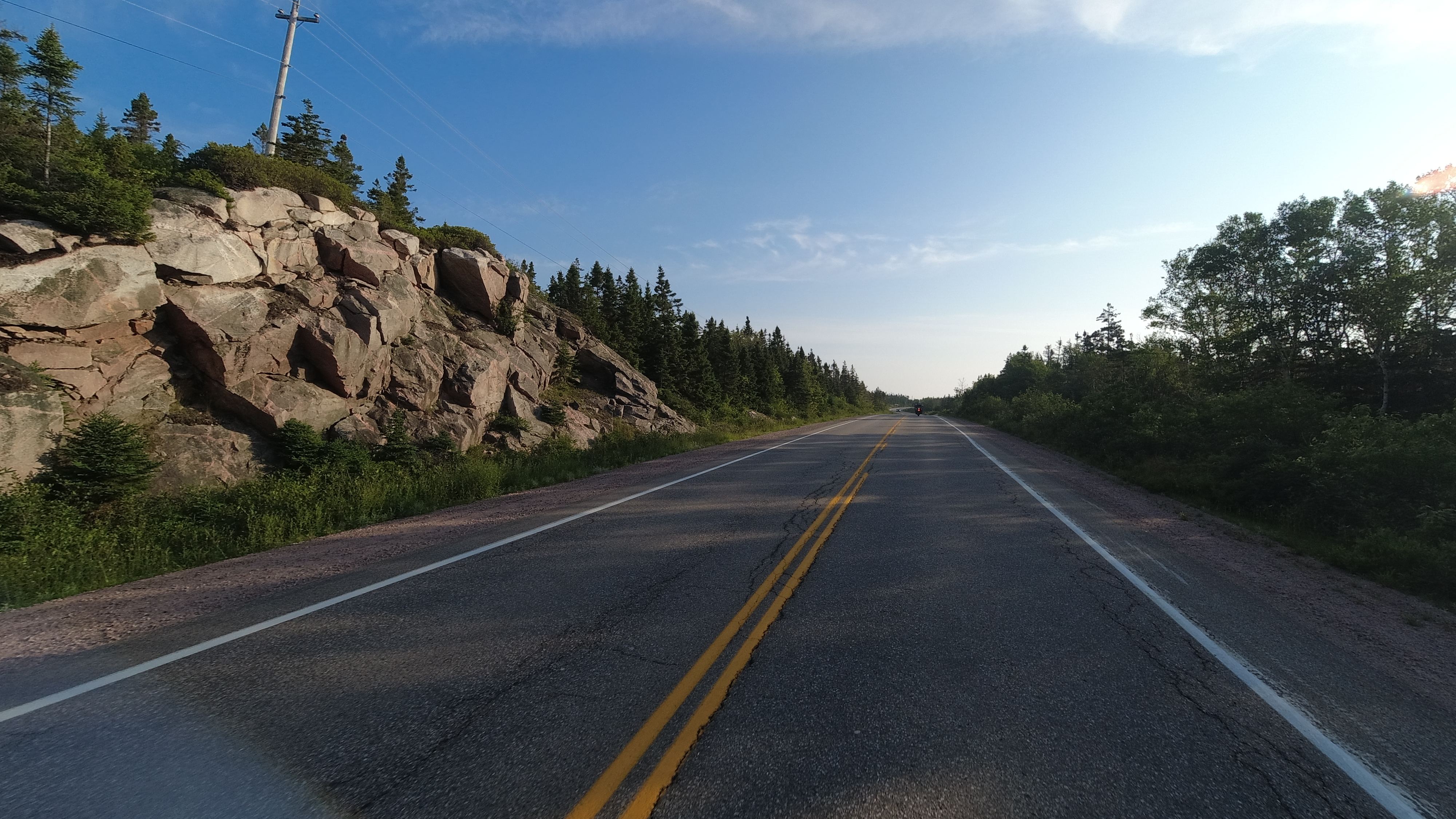
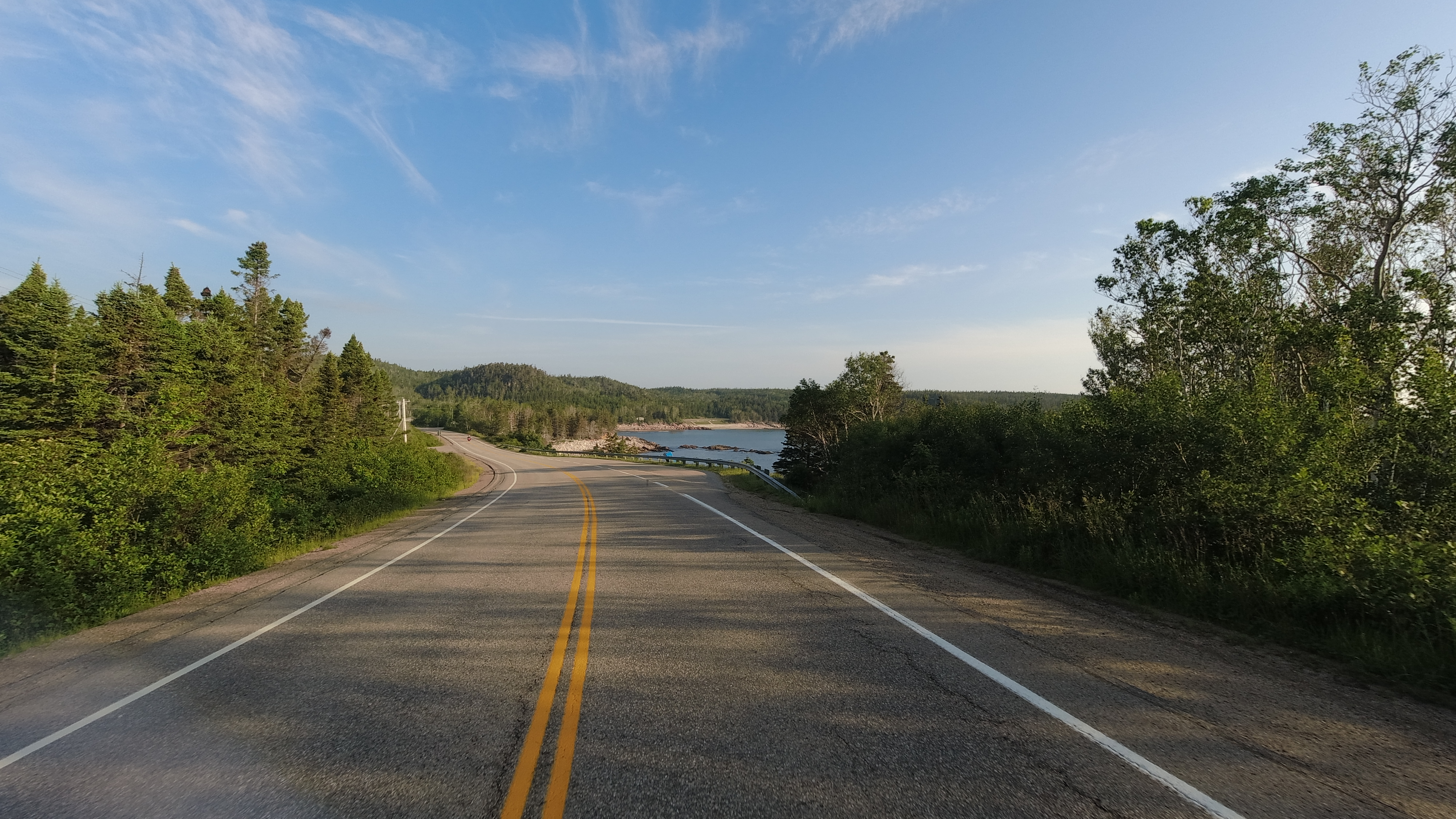
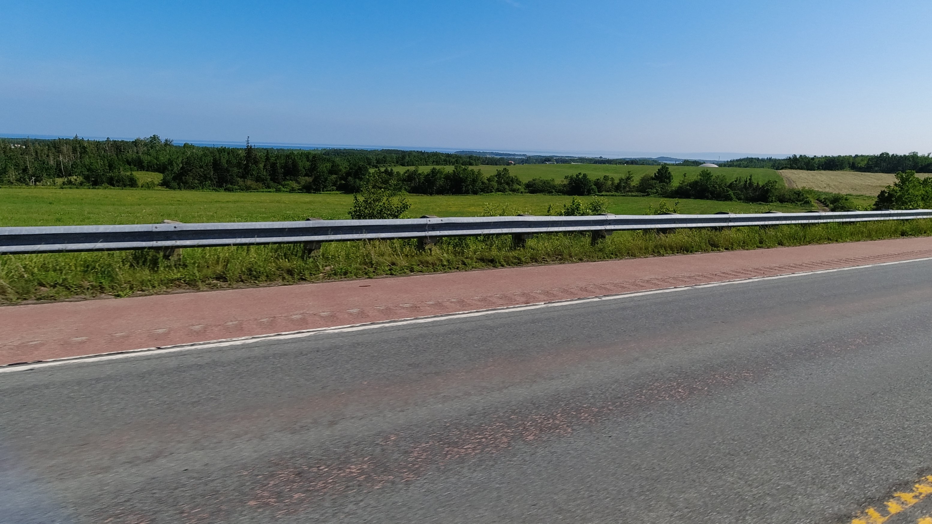
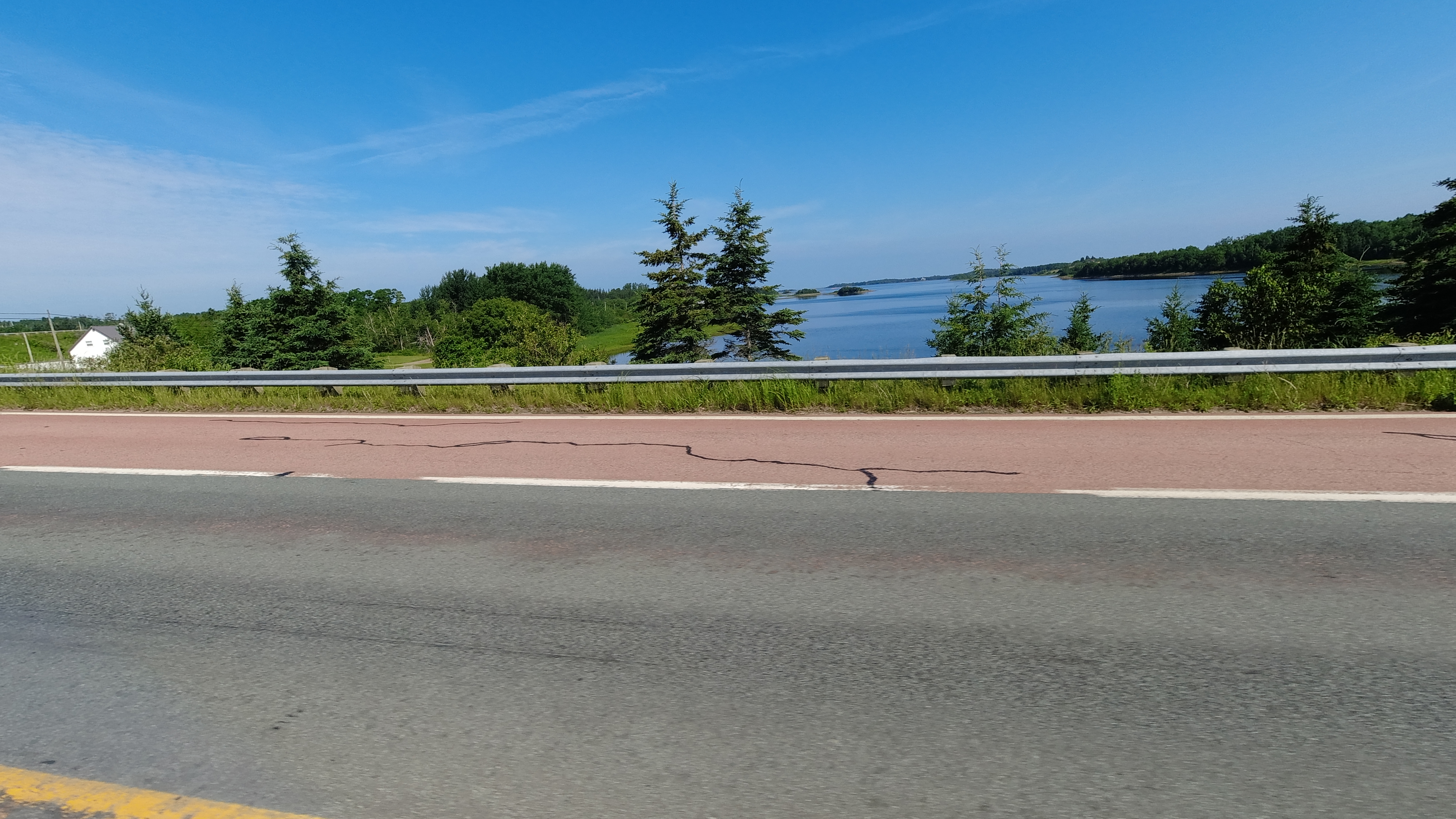
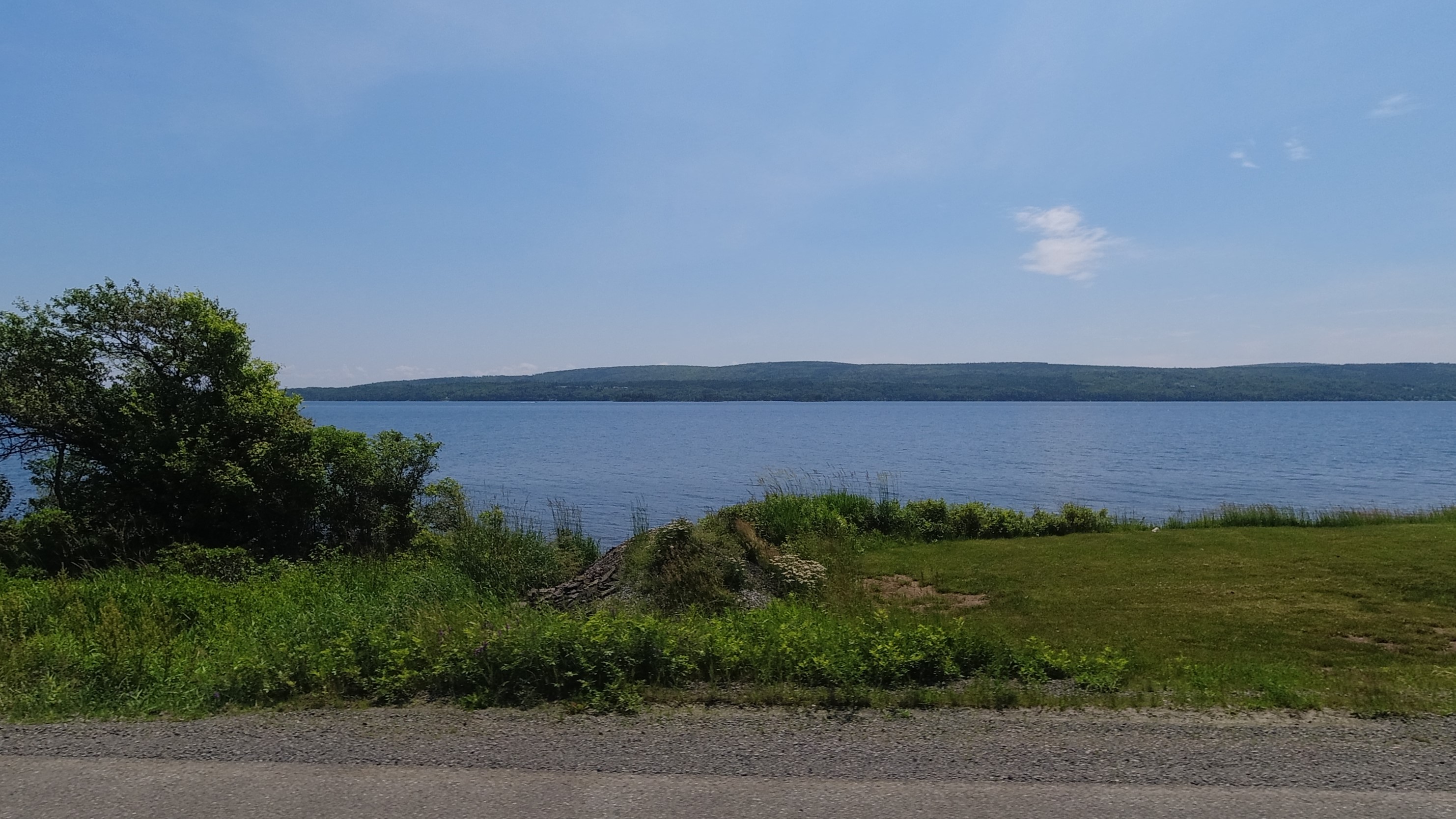
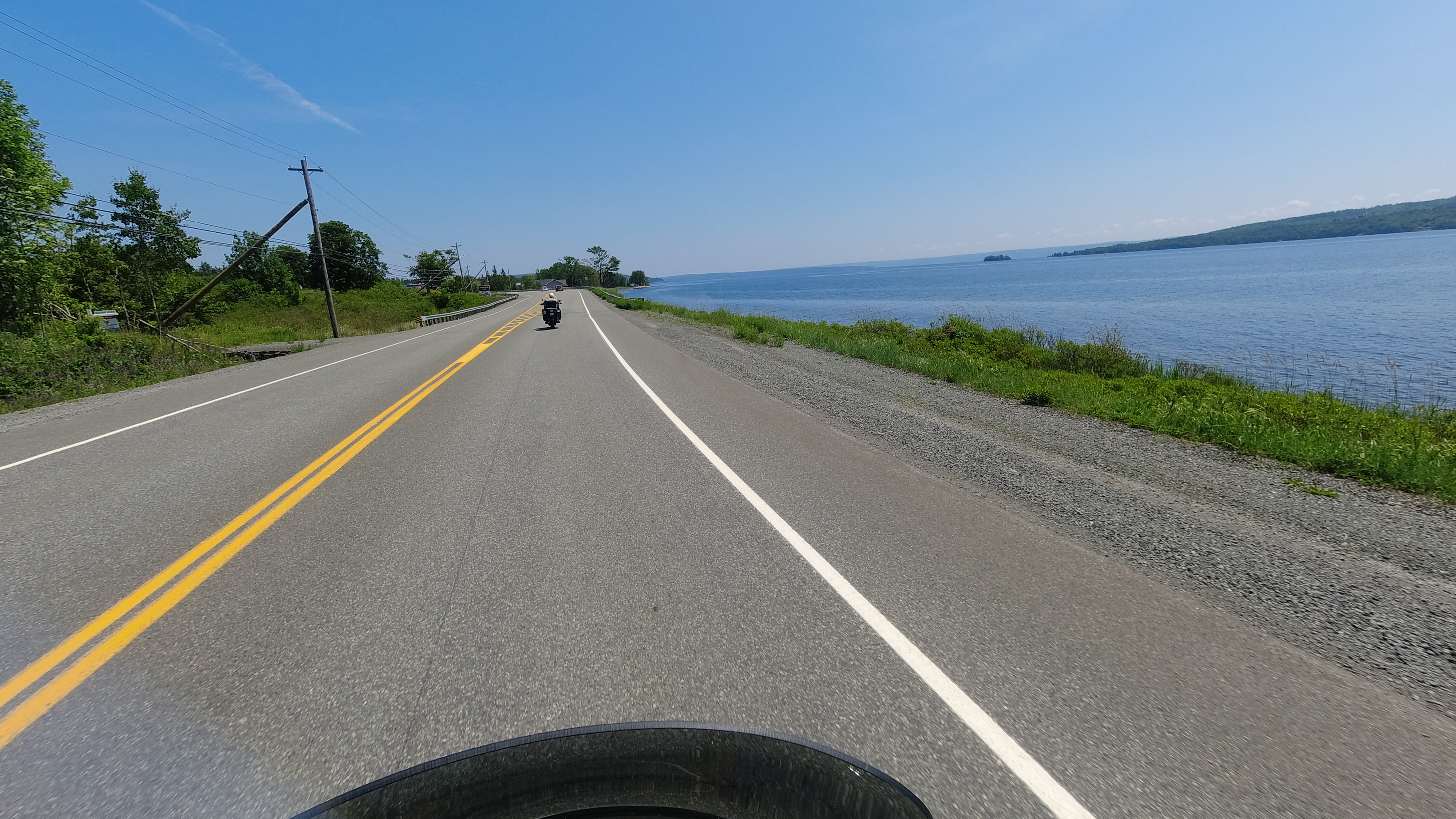
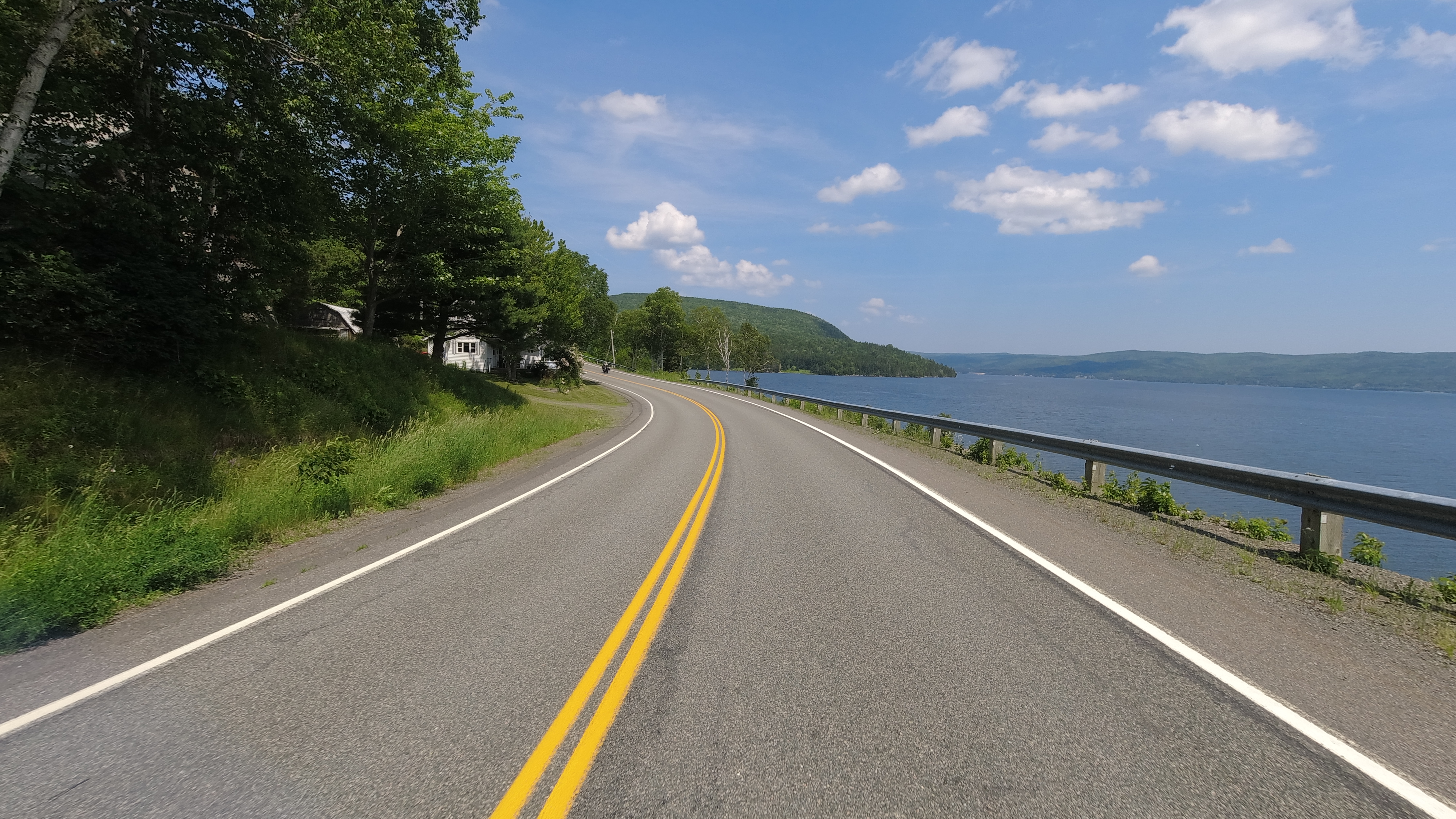
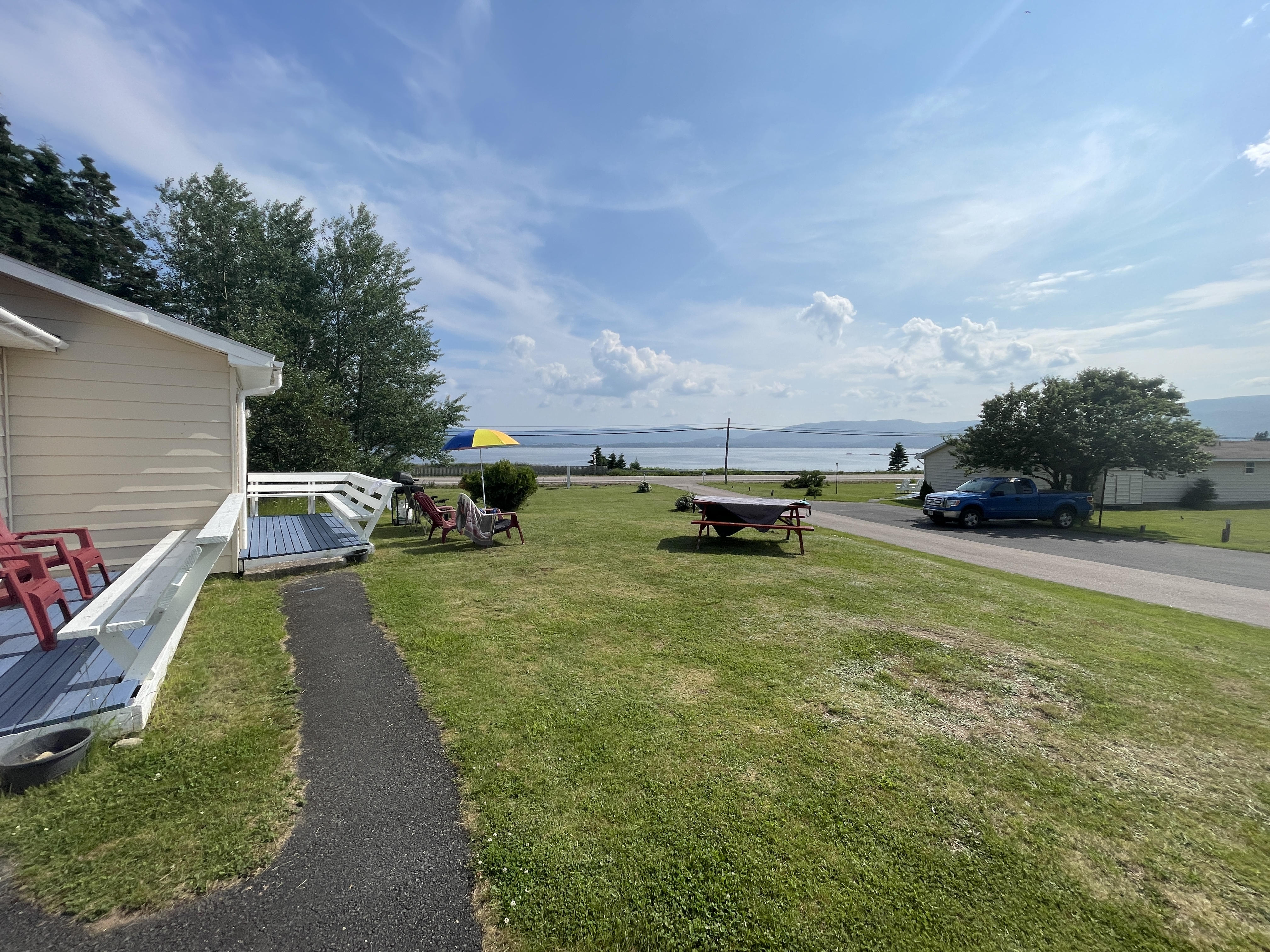
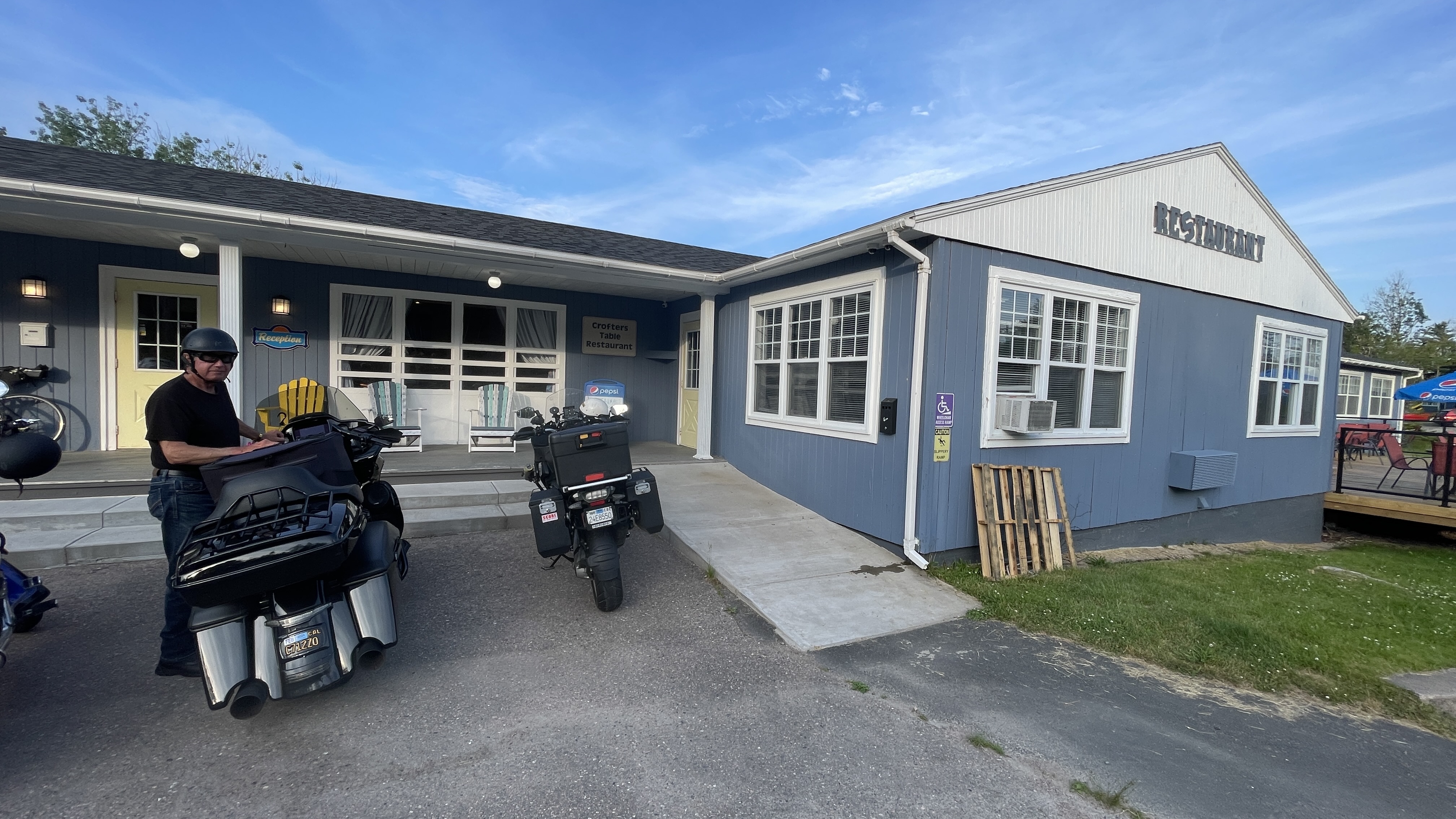
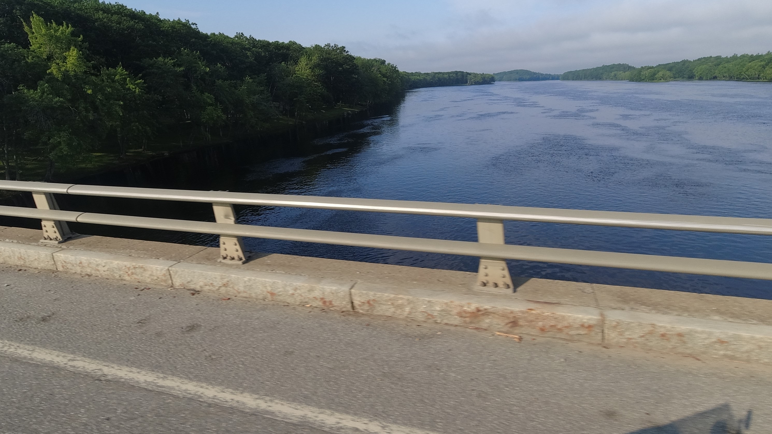
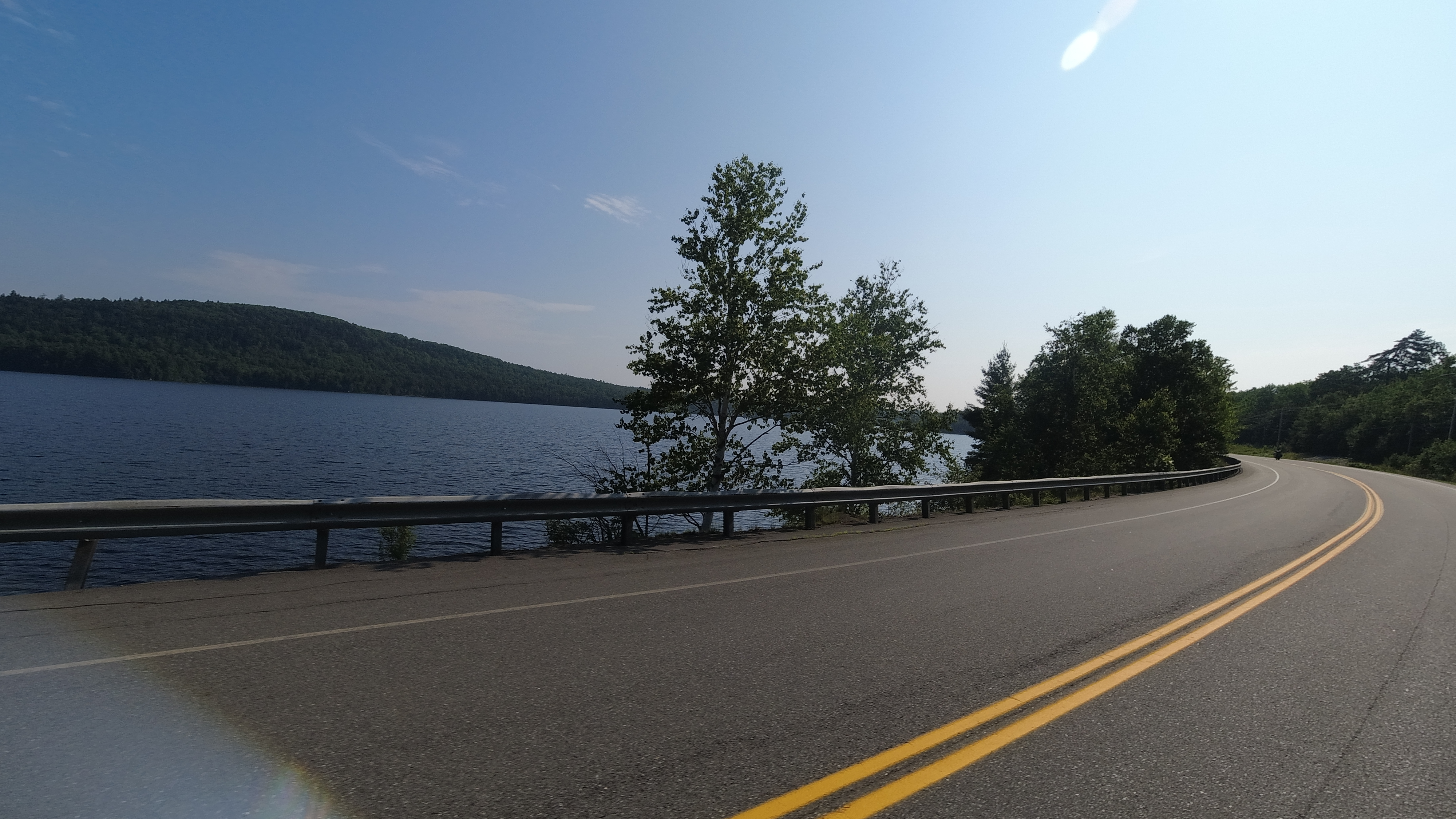
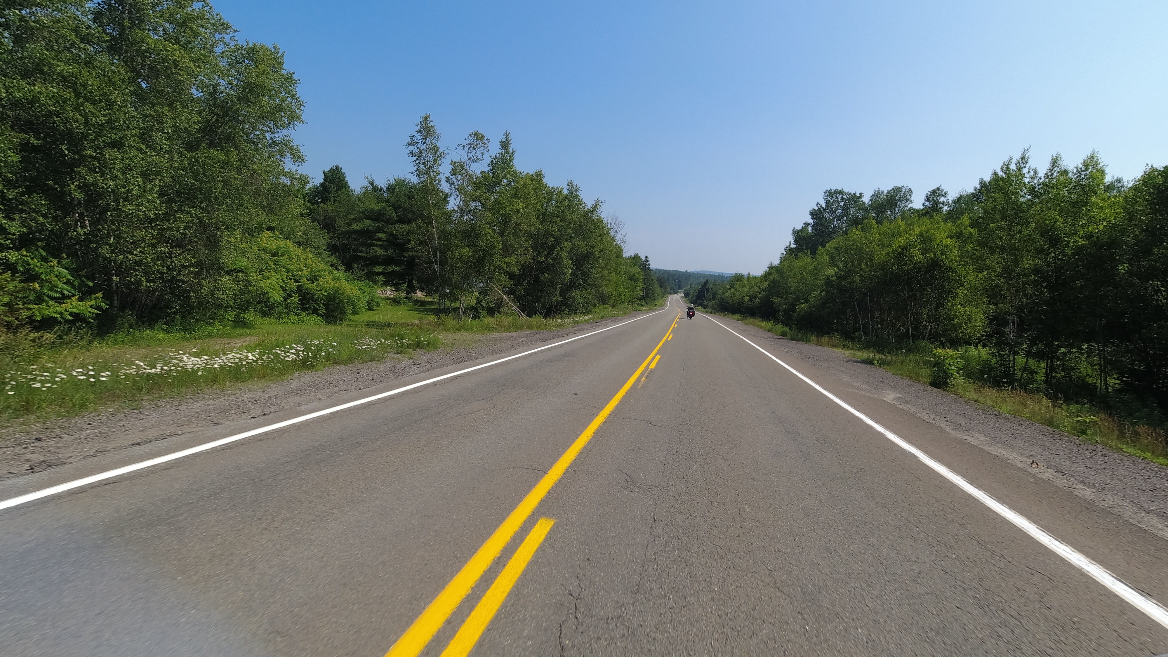
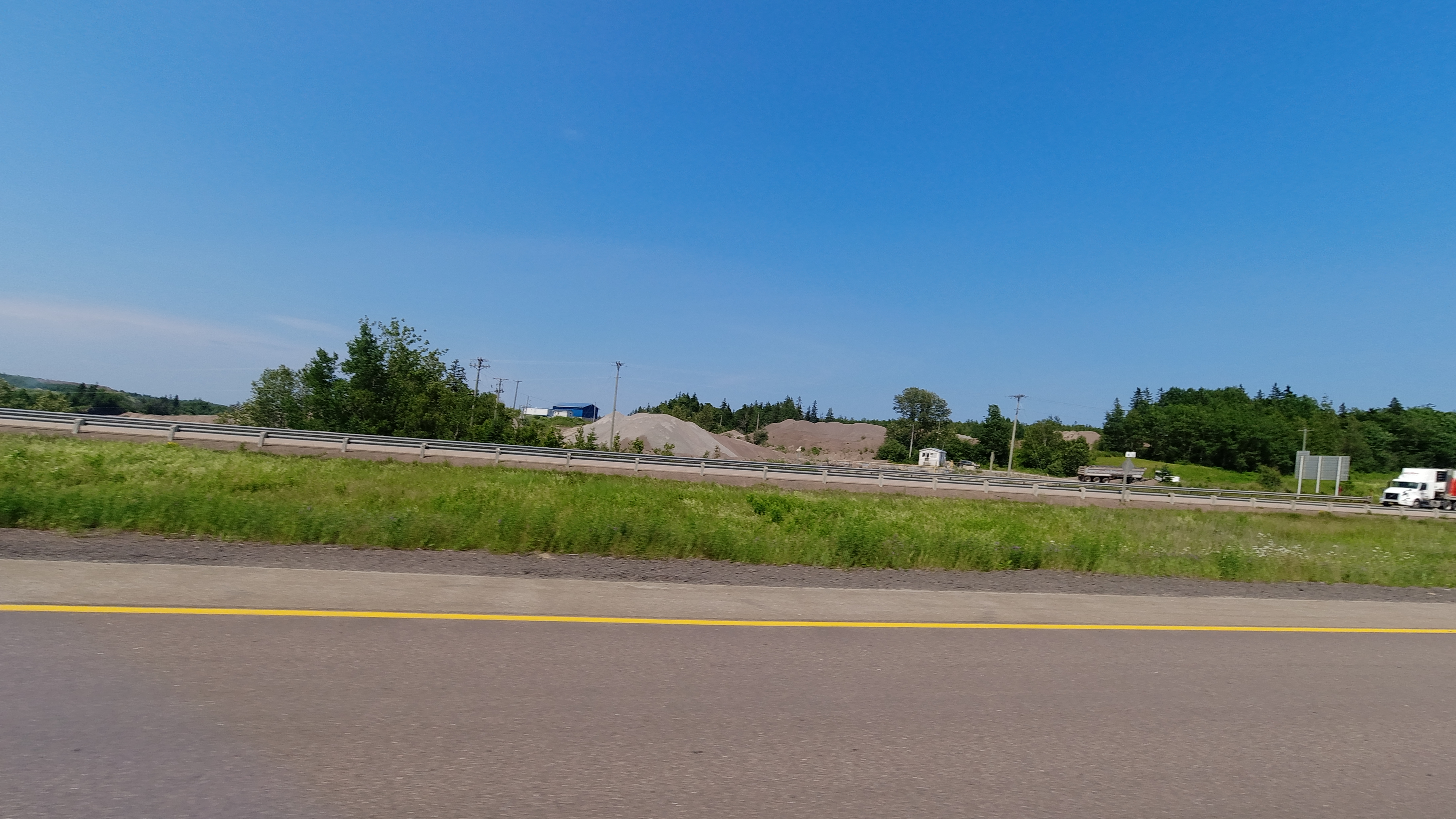
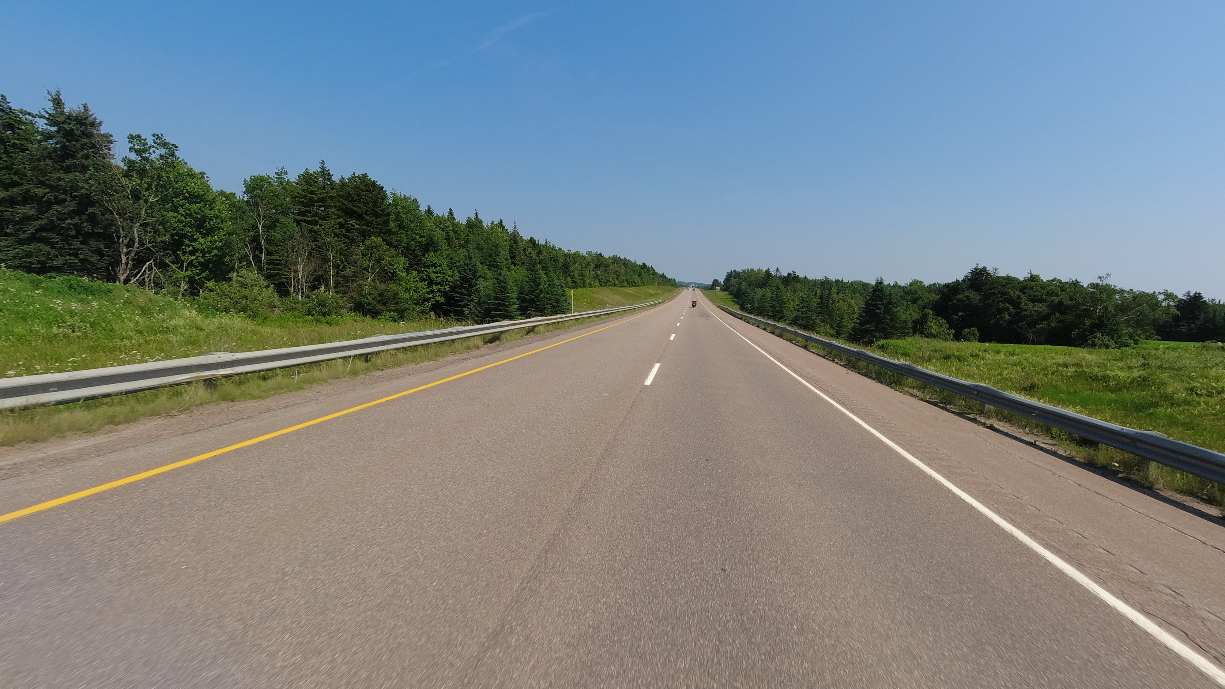
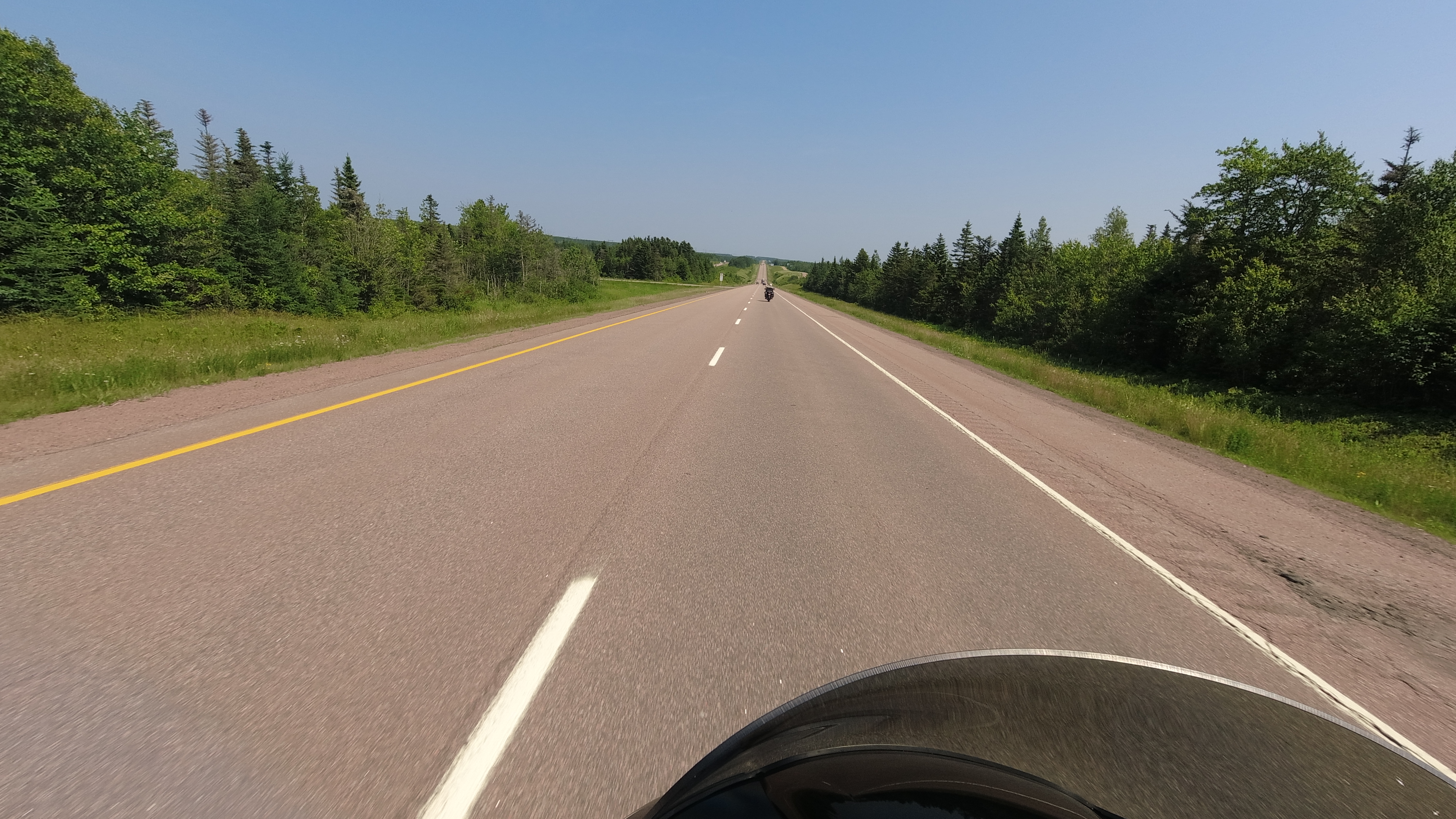
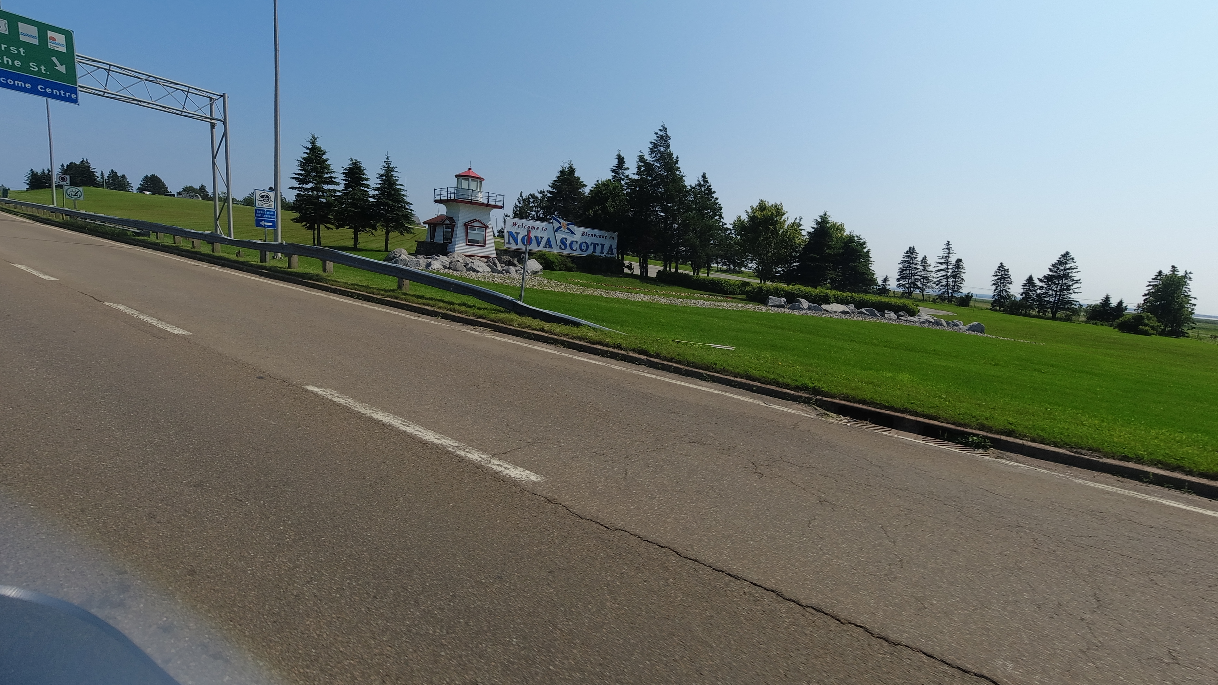
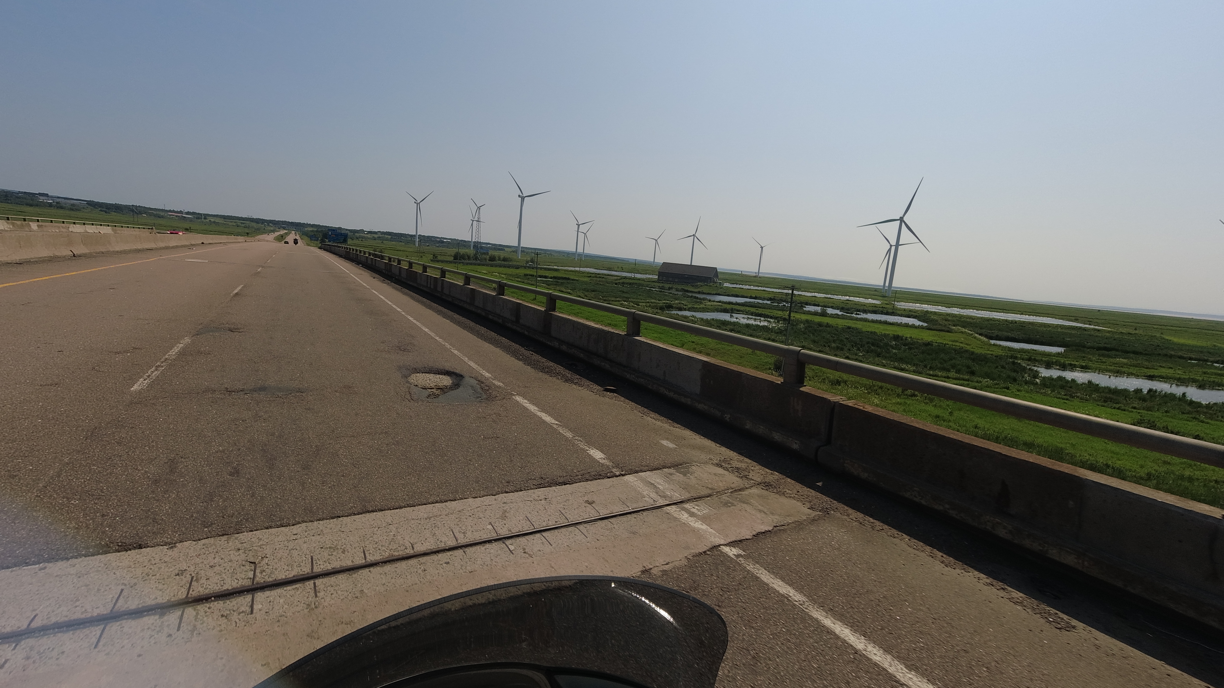
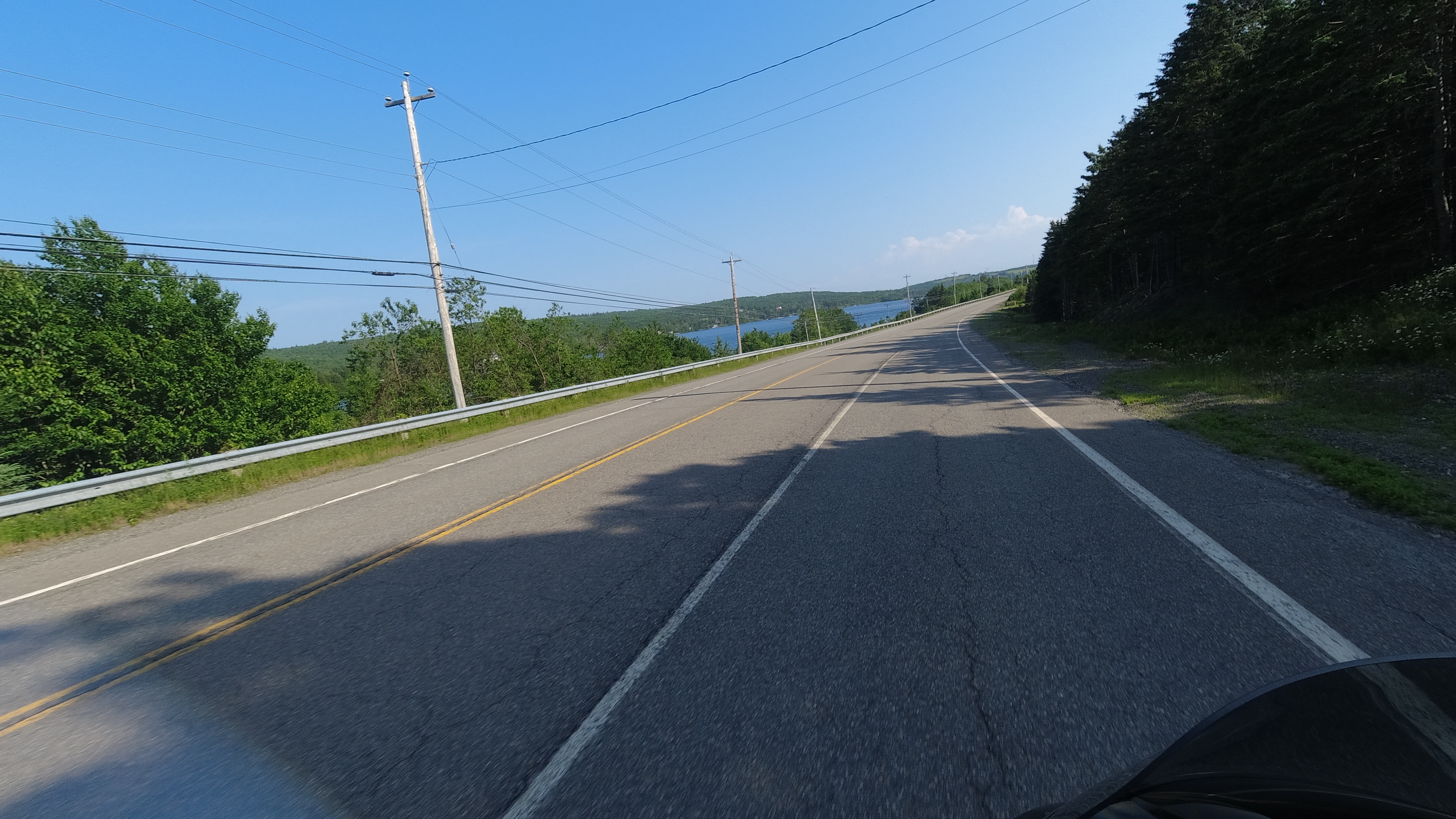
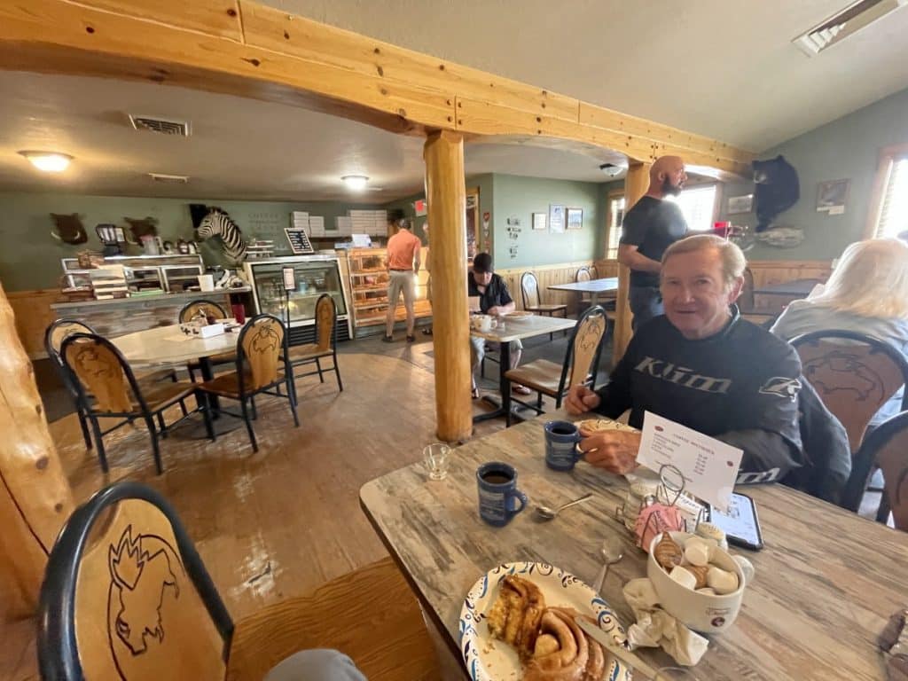
We had plenty of time to do this jaunt down south, so we had a later start and enjoyed coffee on the veranda at the hotel we had in Mackinaw City. We left about 8ish taking backroads to Manchester. Michigan, for the most part, is laid out as a grid with farm roads. This makes staying off the freeways a lot easier and gives plenty of options. It was a series of straight roads south with jaunts left or right for a couple of miles about every 4 or 5 miles south. I could ride all day with these kind of roads – lots of woods and farms to look at with out much traffic to deal with. We stopped at a small family run breakfast/coffee place for, you got it, coffee for me and lo and behold, they had fresh pastries that Rick and I eyed walking in.

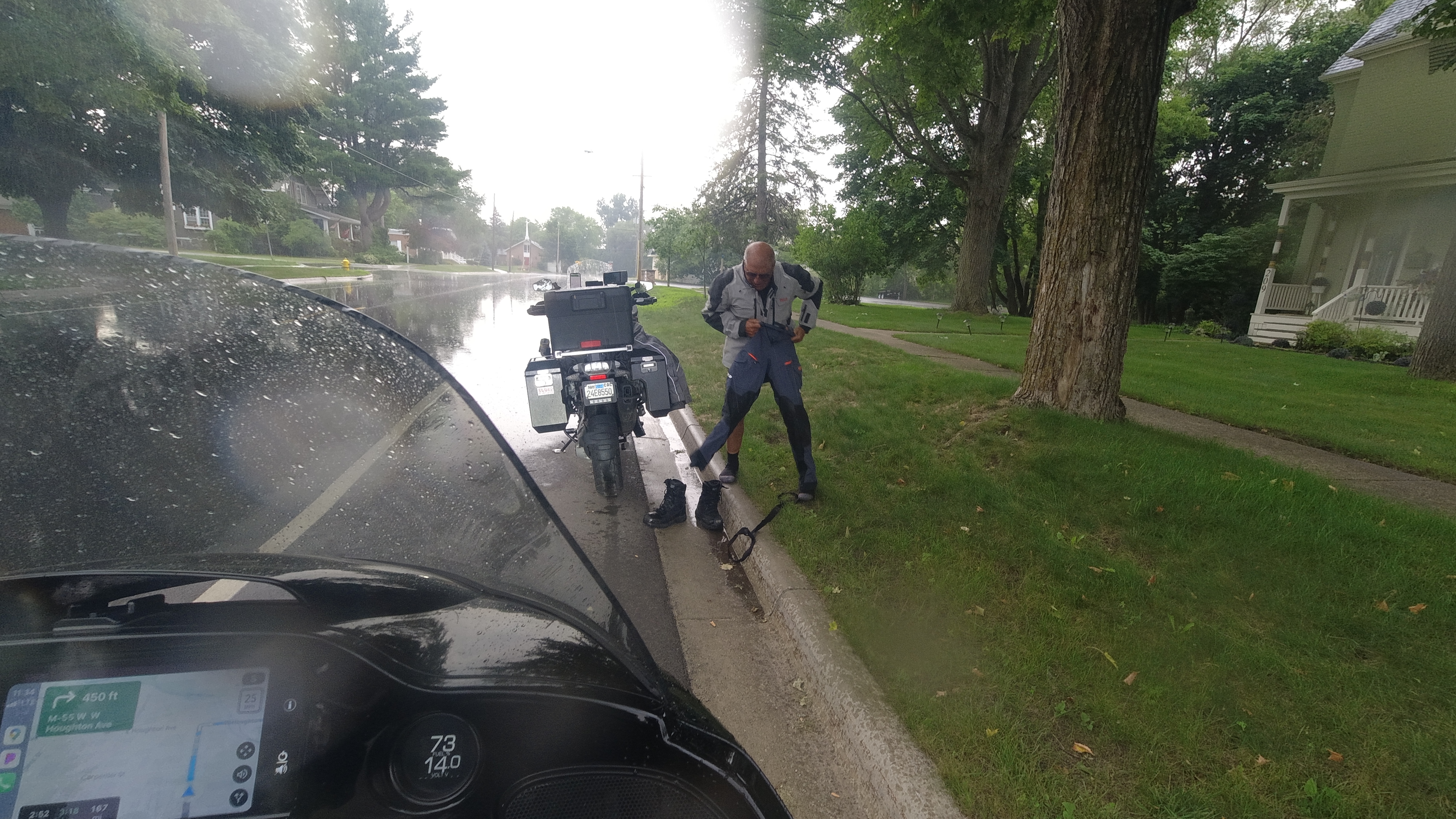
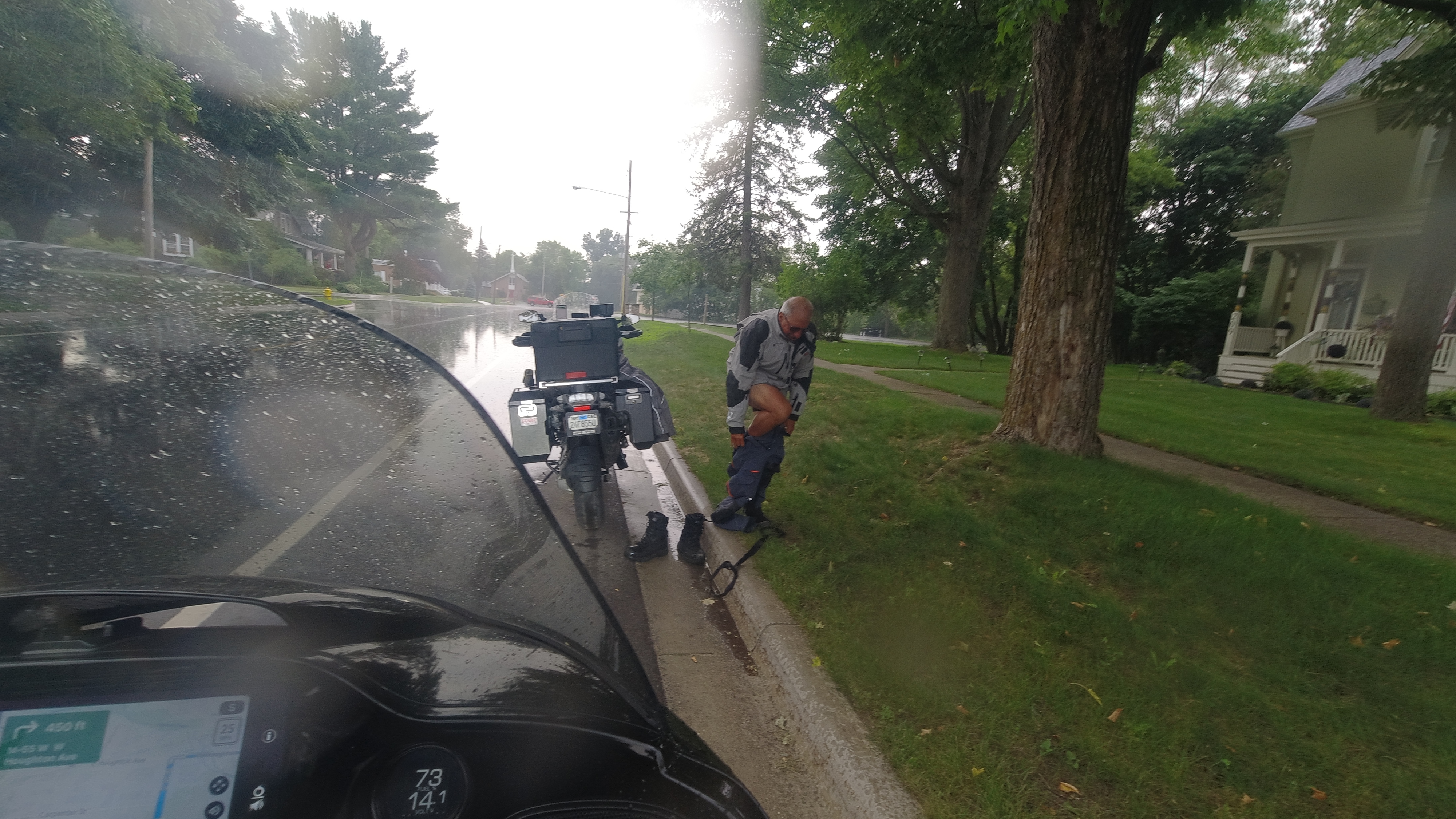
We continue meandering down south, ran into a short rain shower where I though I better put on my rain pants, only to have it stop a few miles down the road. By late afternoon we were at my sisters to enjoy a home cooked meal of salmon and wild rice that we had brought.

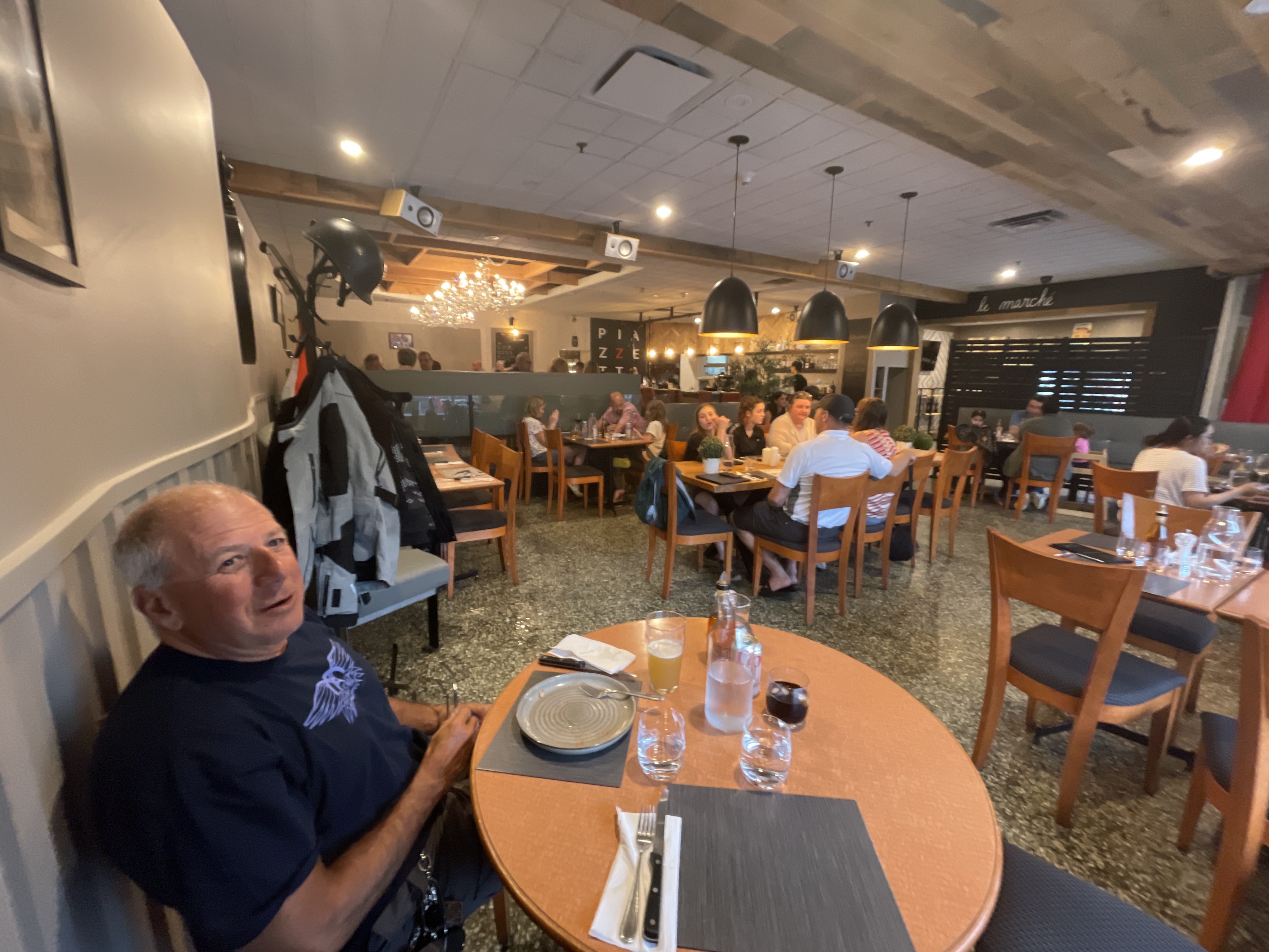
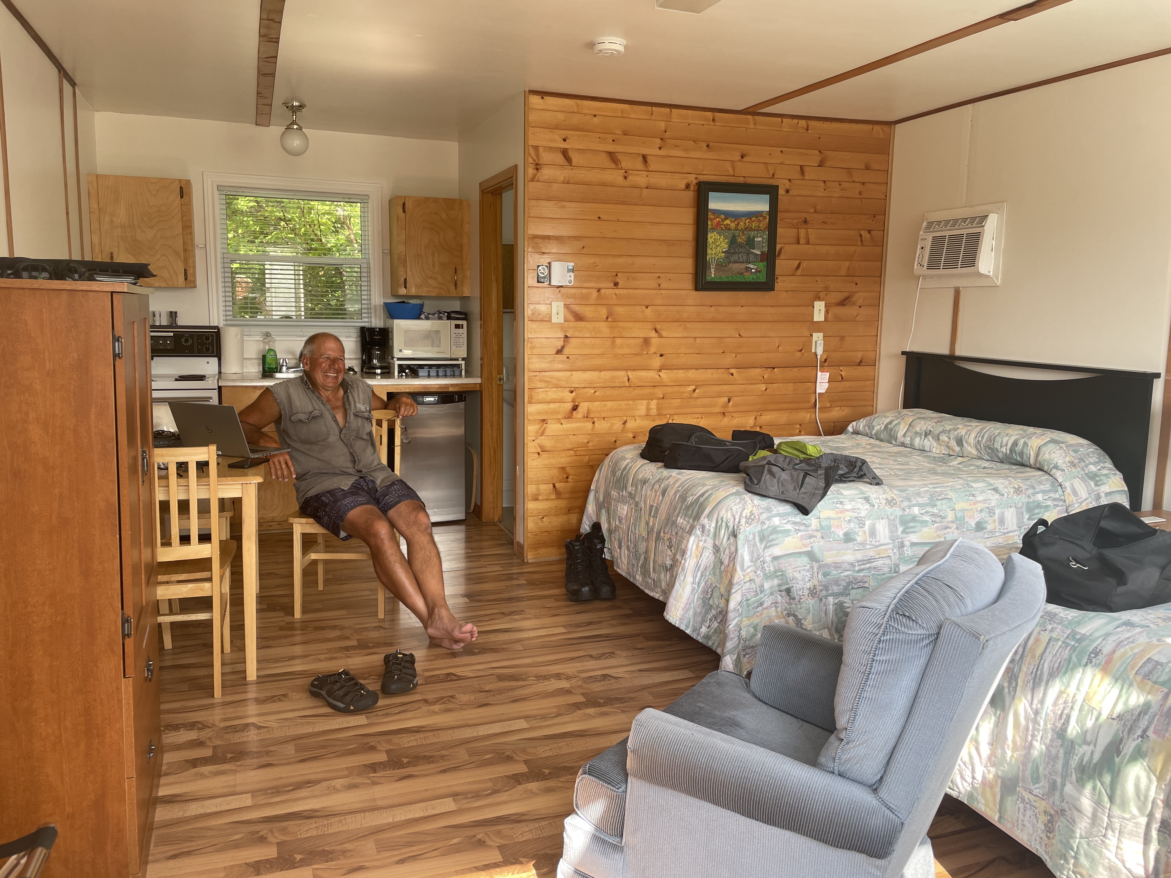
For the next three nights we stayed in Manchester. Monday Rick and I rode around the area to find out if I could get local motorcycle shop to change my BMW bikes oil, but had no luck finding one. I’ll have to go to the dealer in Plymouth MI. In the evening we joined my sister for dinner to celebrate my brother-in-laws birthday along with my Nephew Stephen and Dennis’s Son and wife and daughter.

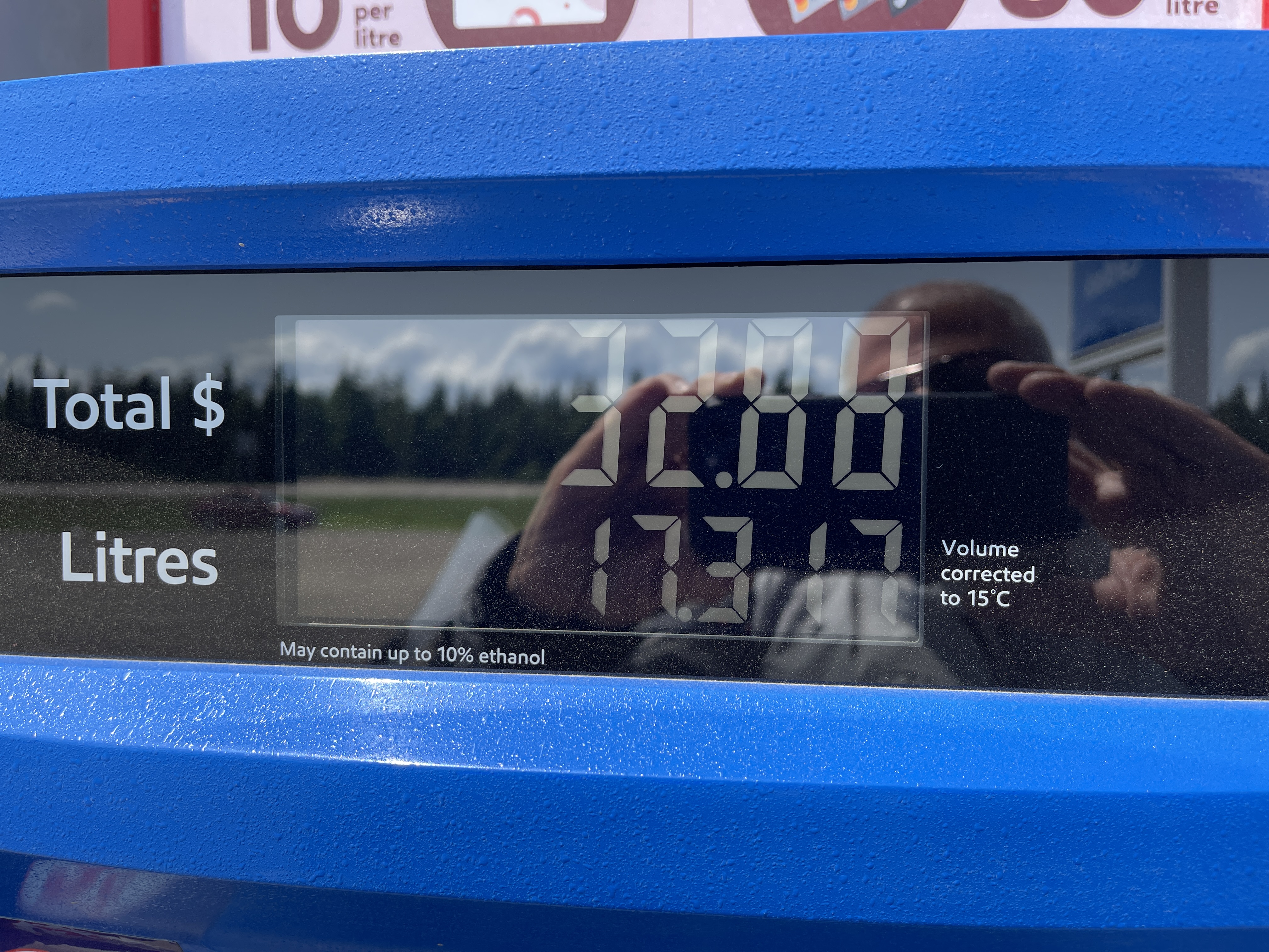
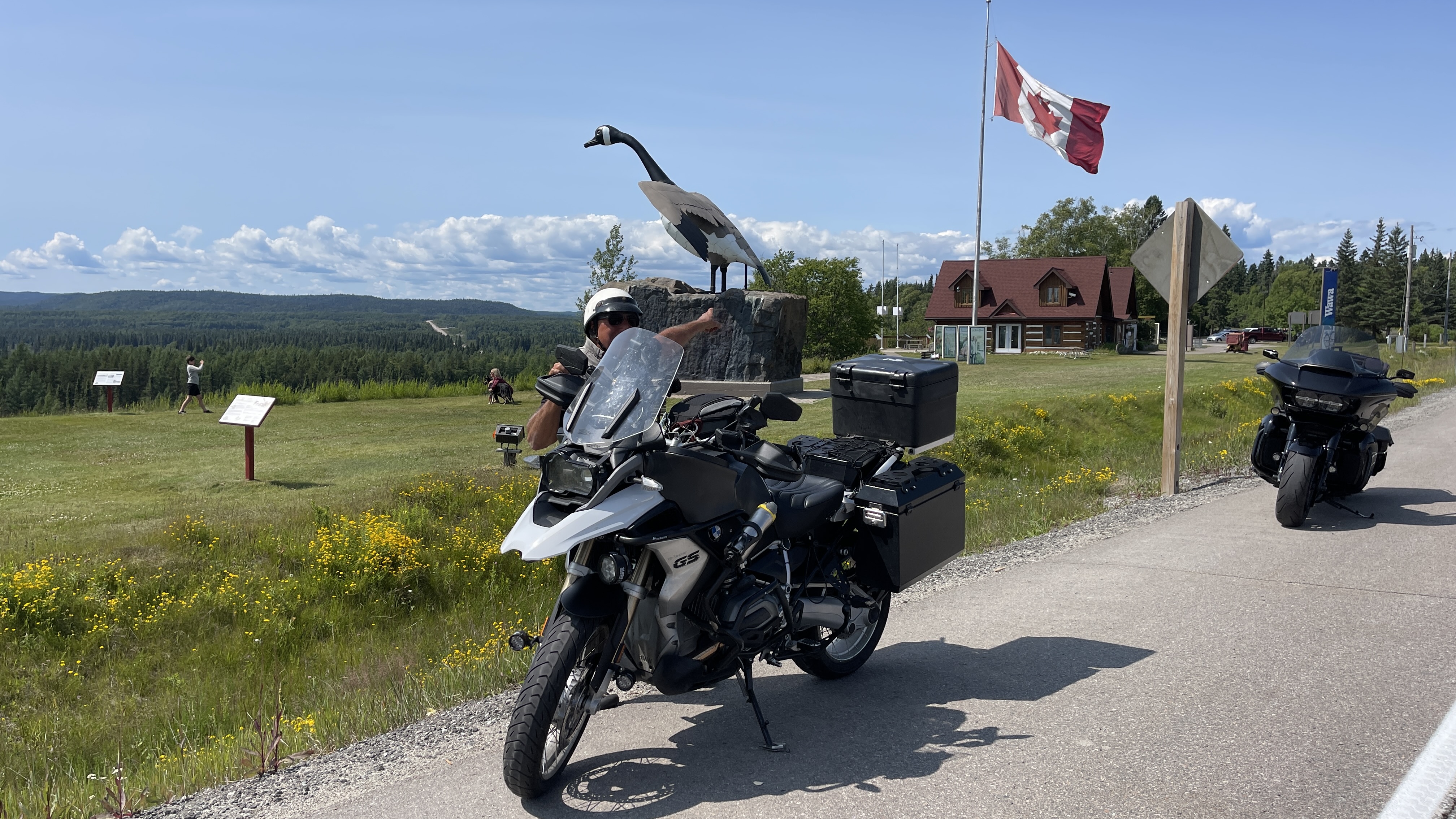
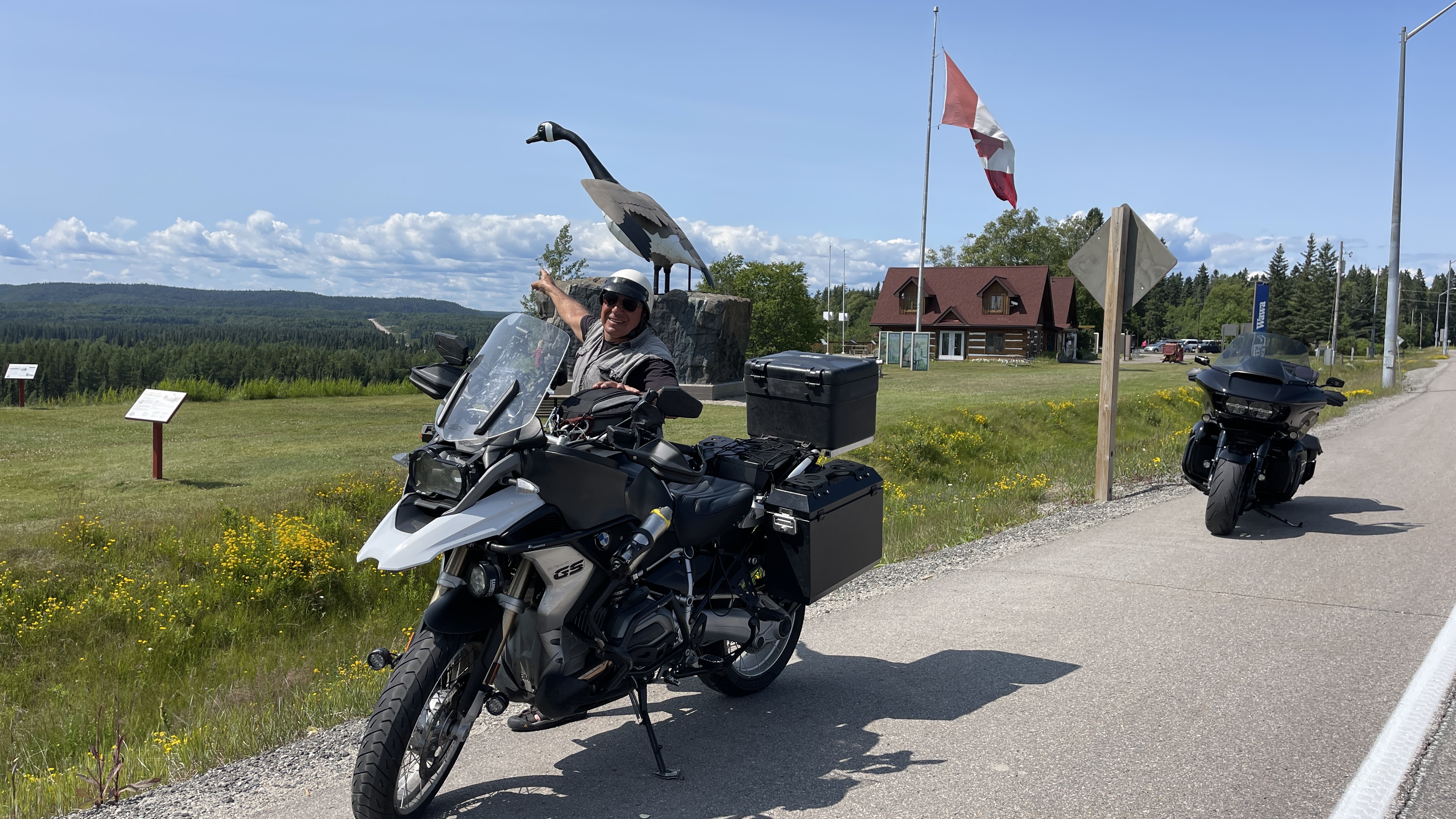
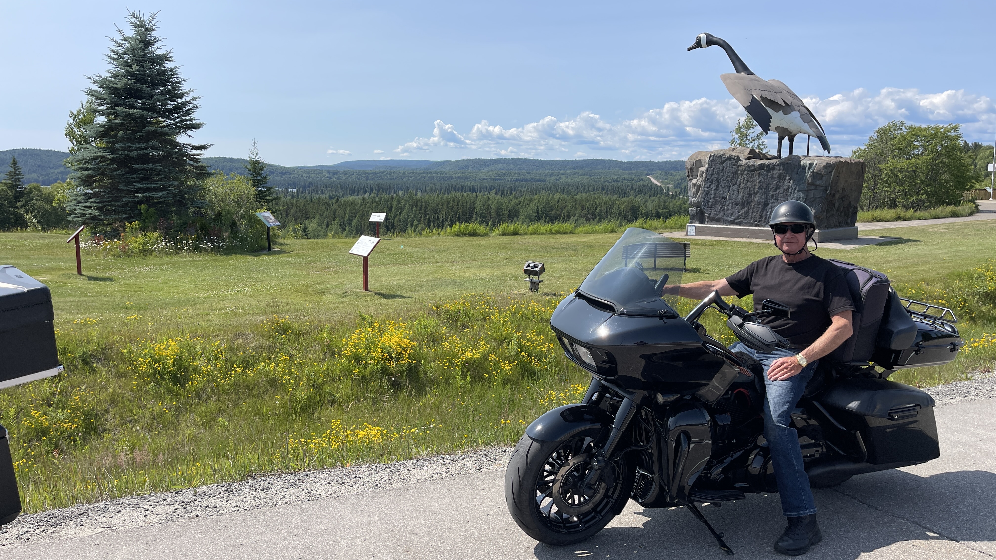
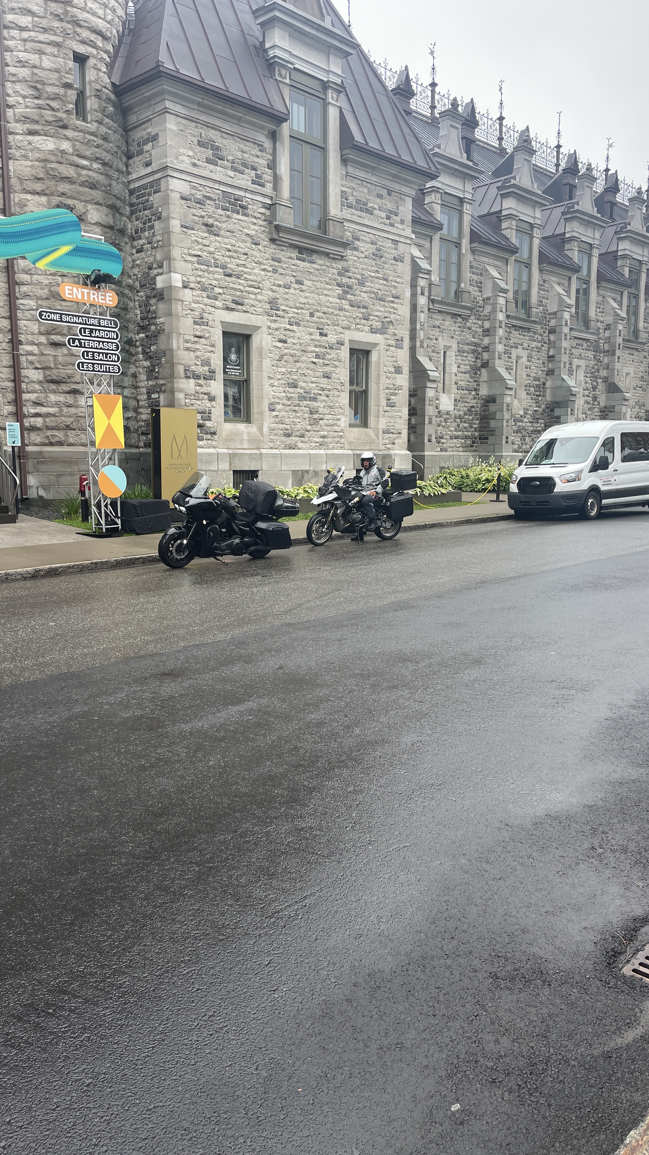
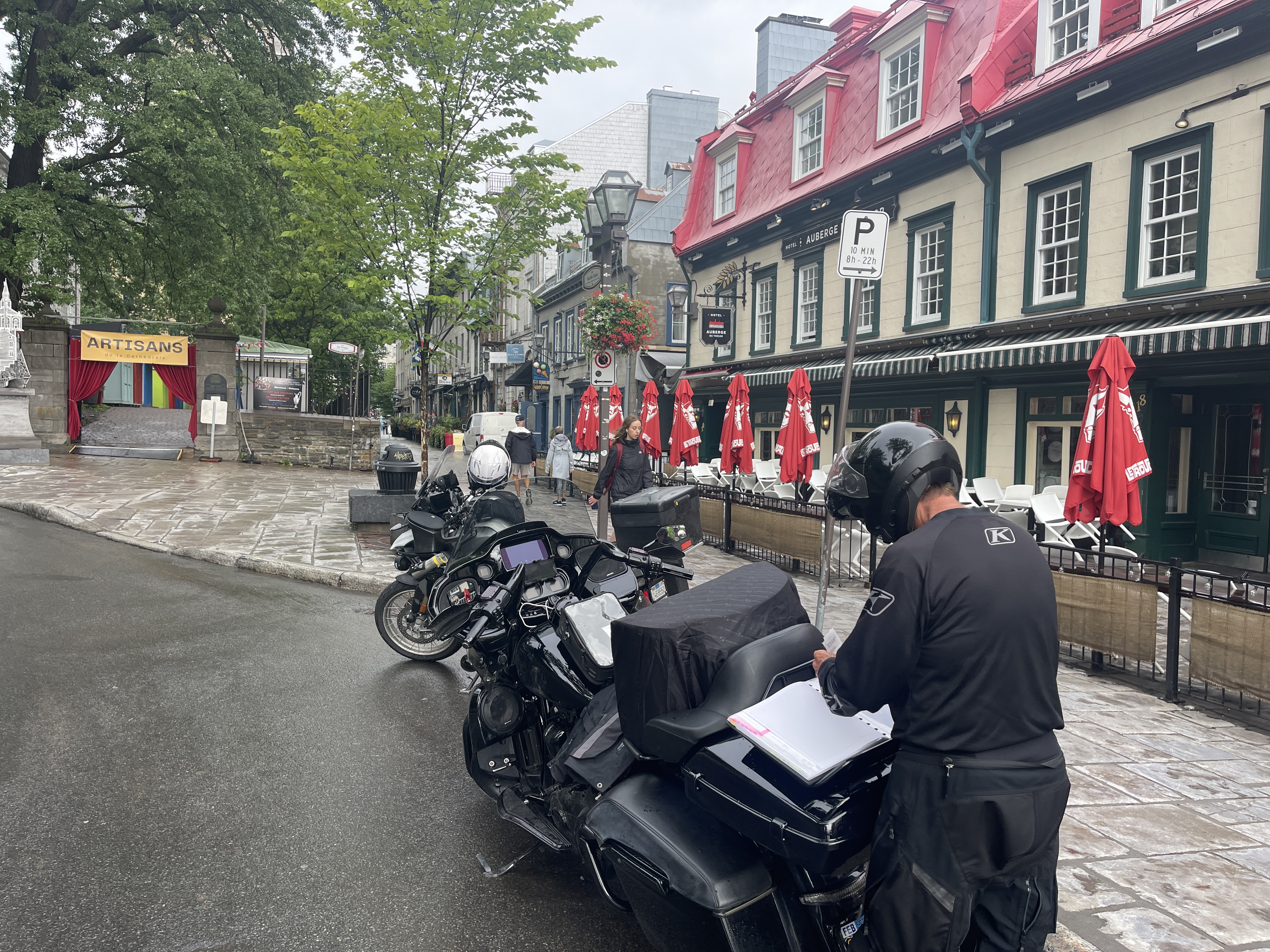
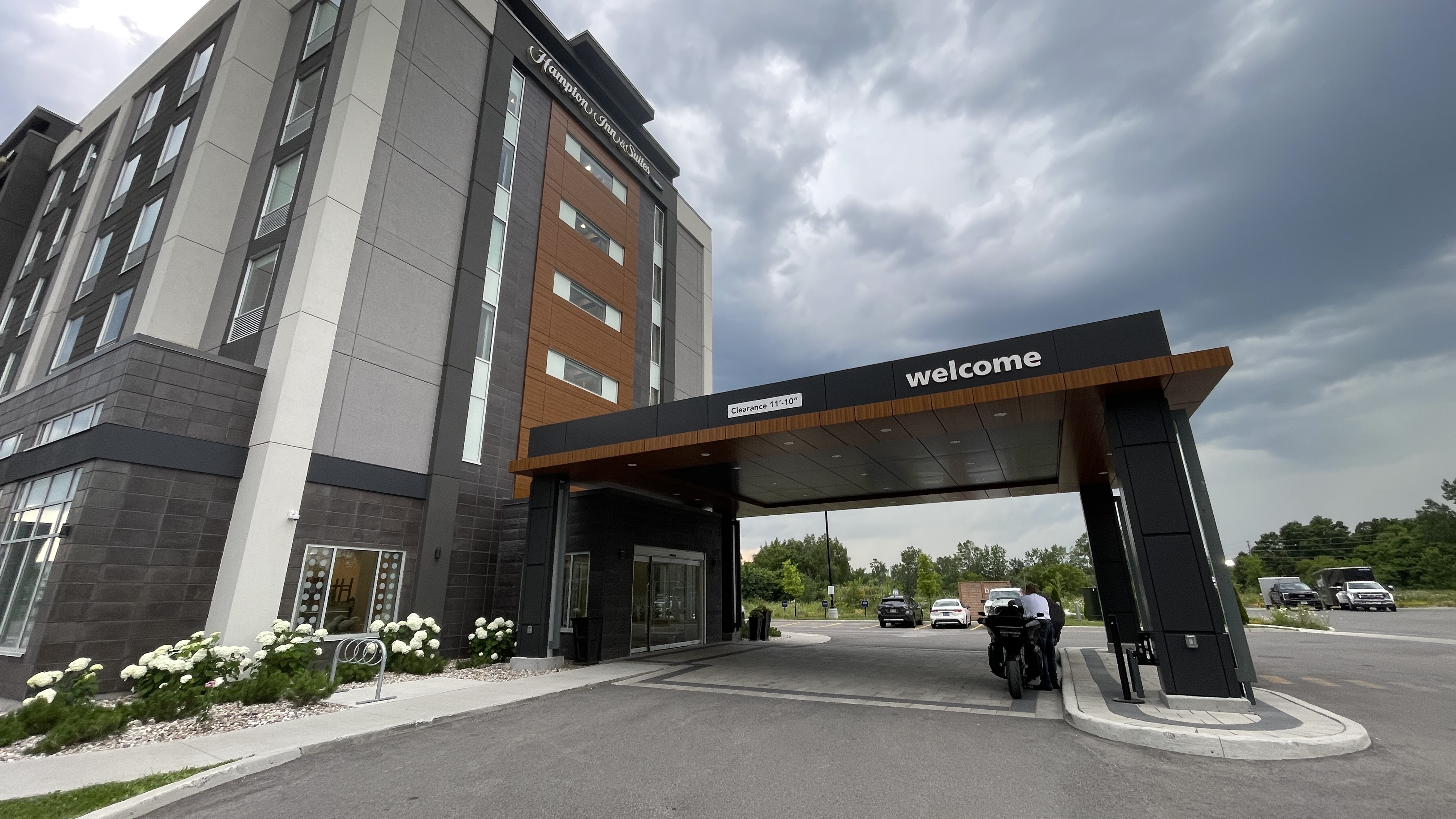
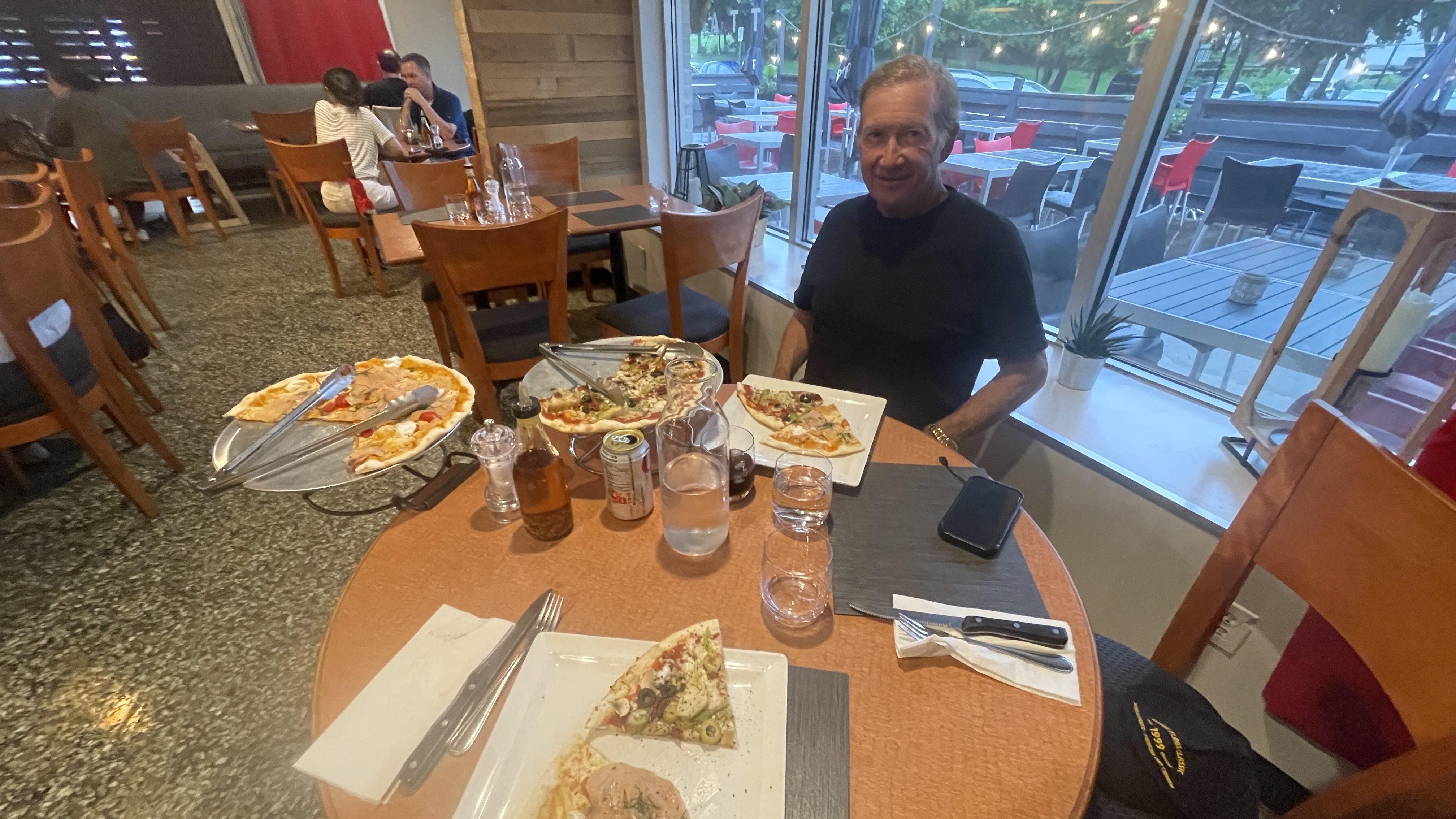
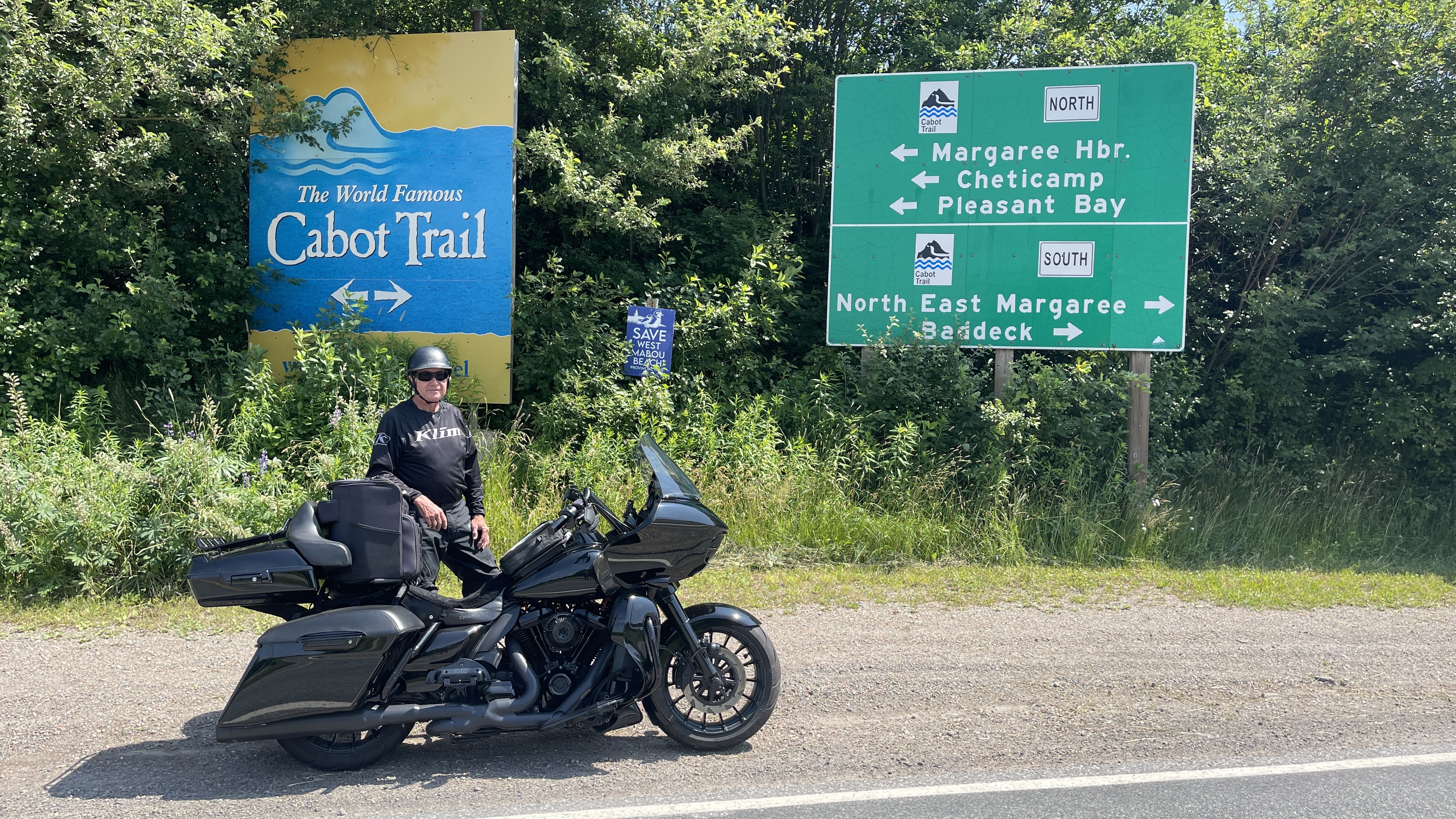
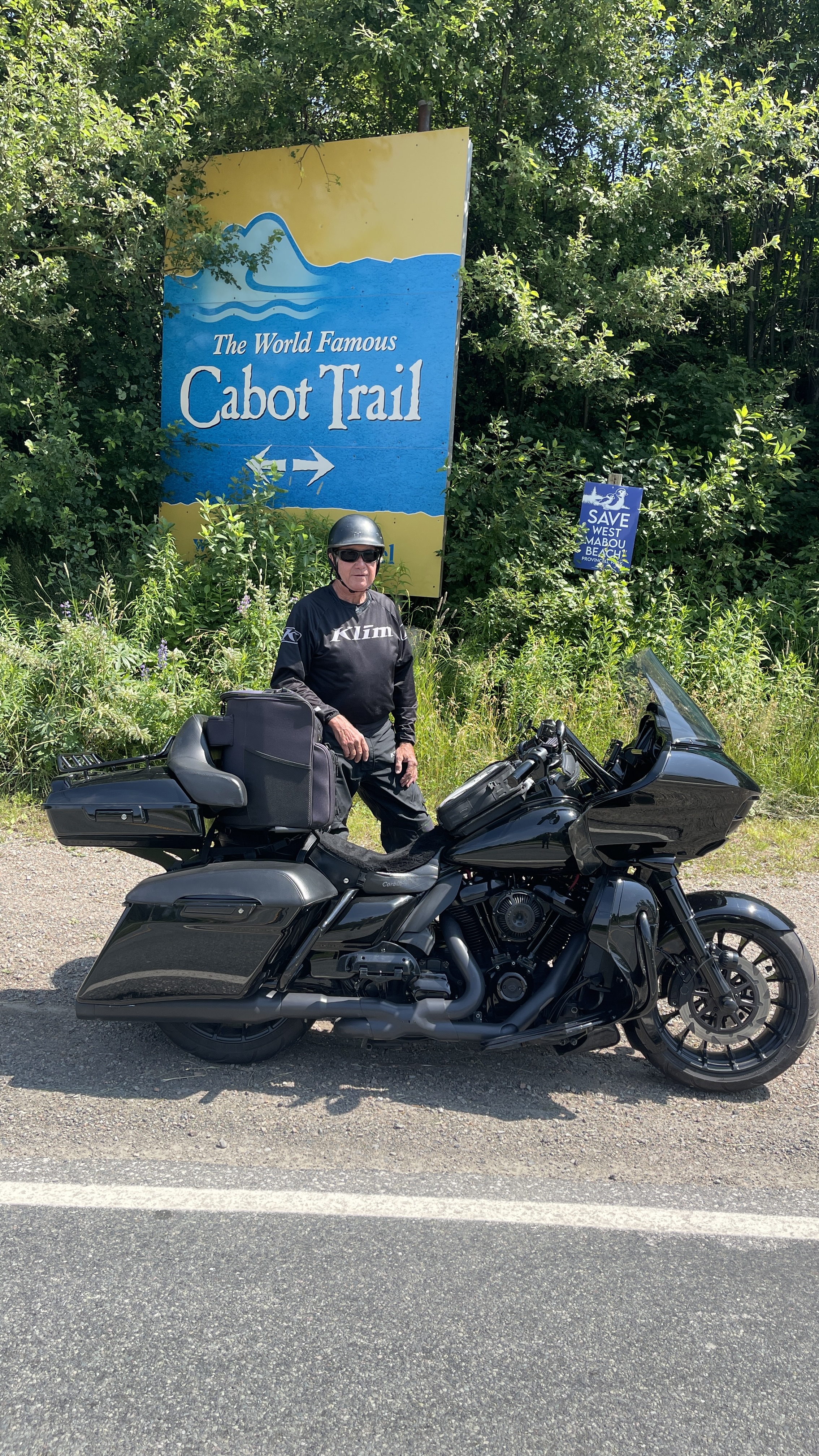
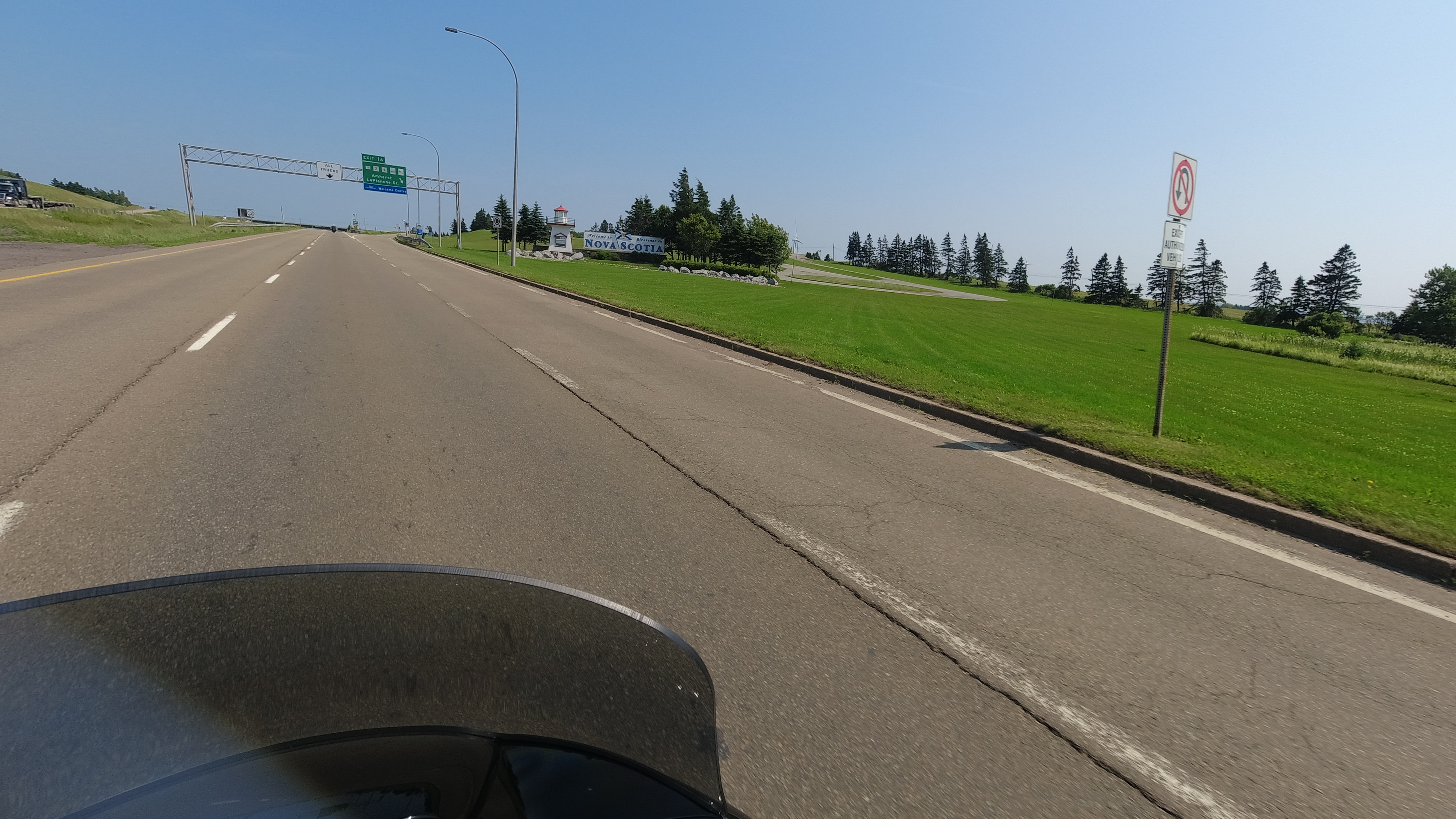
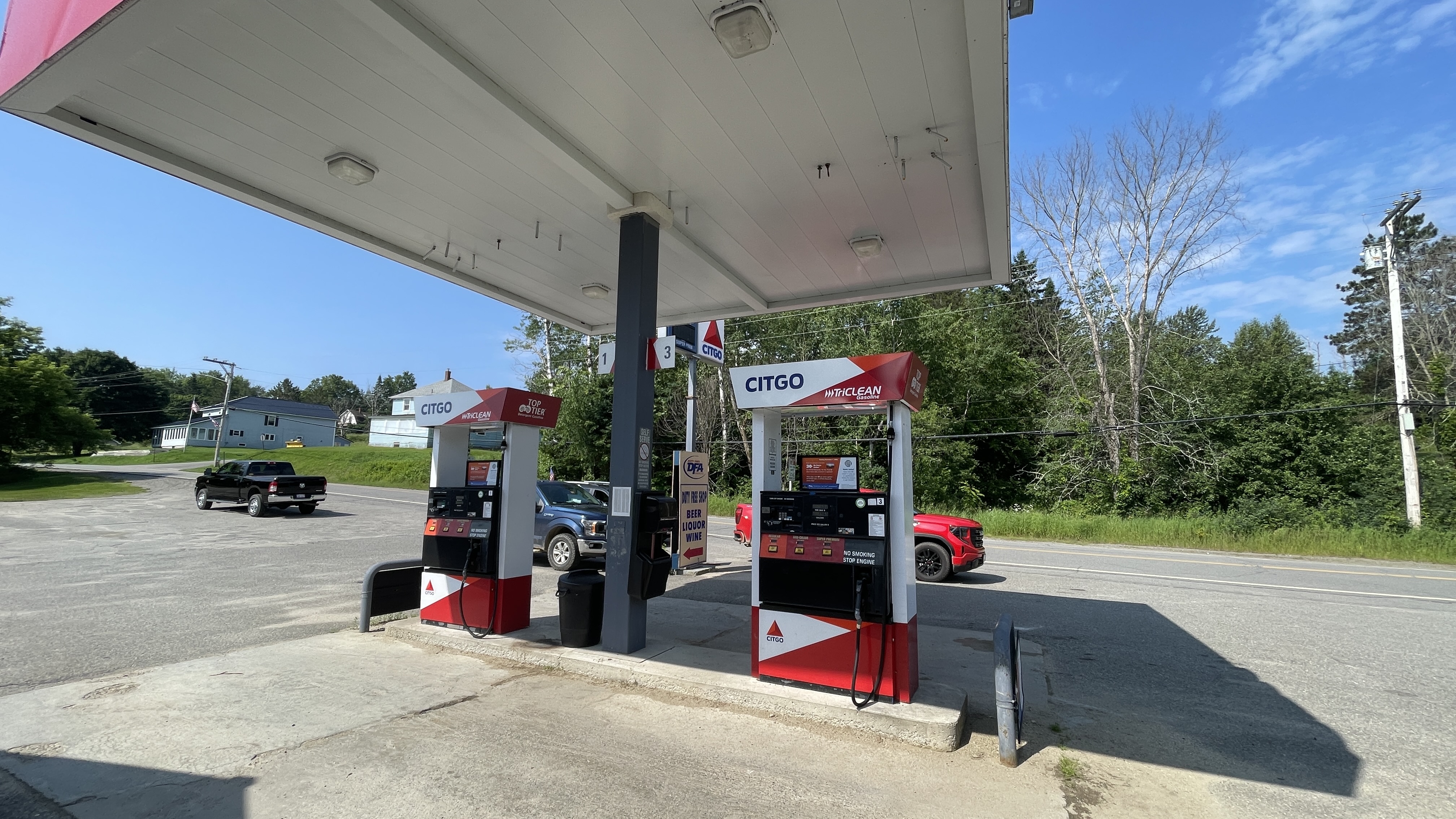
On Tuesday both Rick and I made appointments to get our bikes serviced. My appointment wasn’t until 3pm, Rick’s was in the morning, but unfortunately had a flat front tire, so he needed a tow truck. That turning into a nightmare with AAA and didn’t get a tow until 6 hours later. I was riding back from my service and was back at my sisters when Rick finally was dropped off at the dealer to get his work done. The local Harley shop came through for Rick. Took care of his tire, noise issue and stay a bit later and did his all his fluid changes. My godson Akzl joined us for dinner at my sister that evening to say hi and bye as we were hitting the road again the next morning to capture our last three roads for our 15 roads challenge.

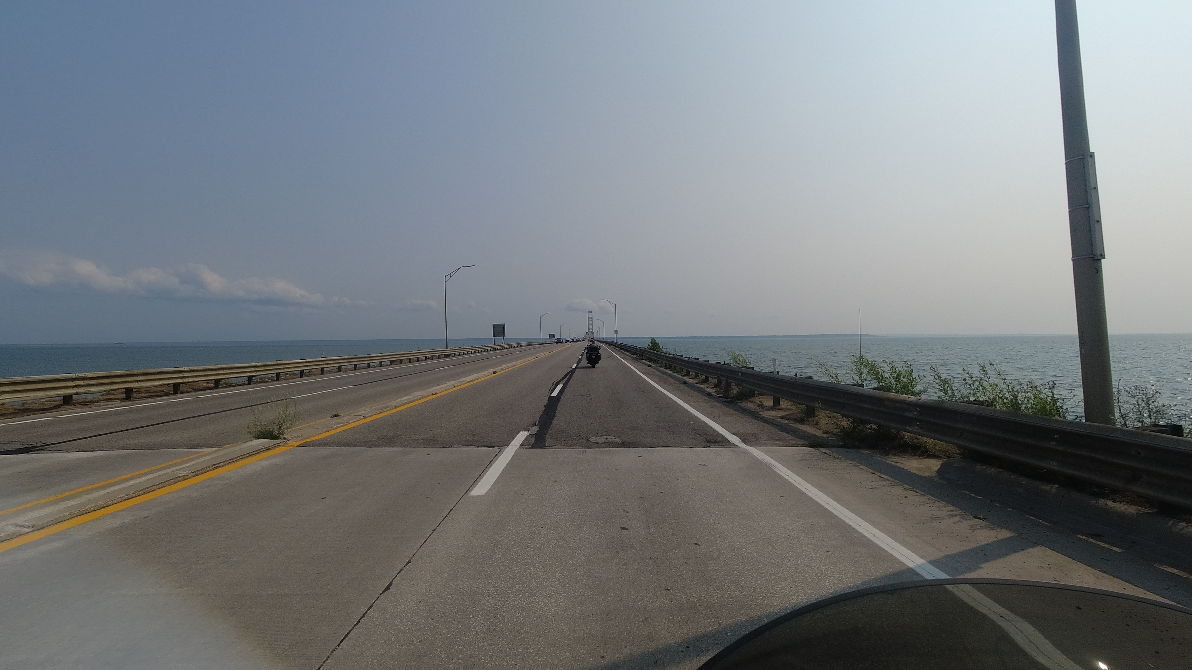
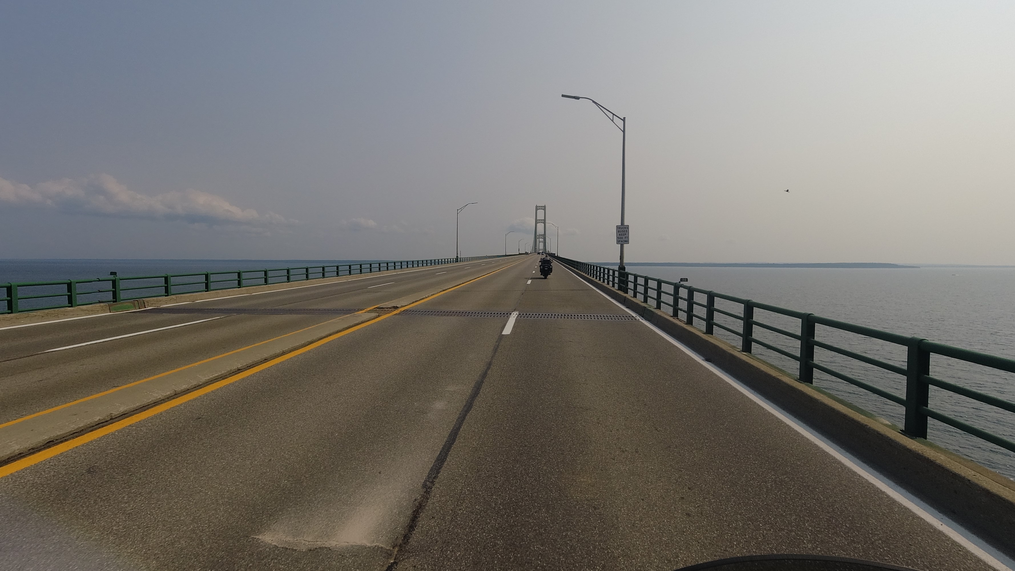
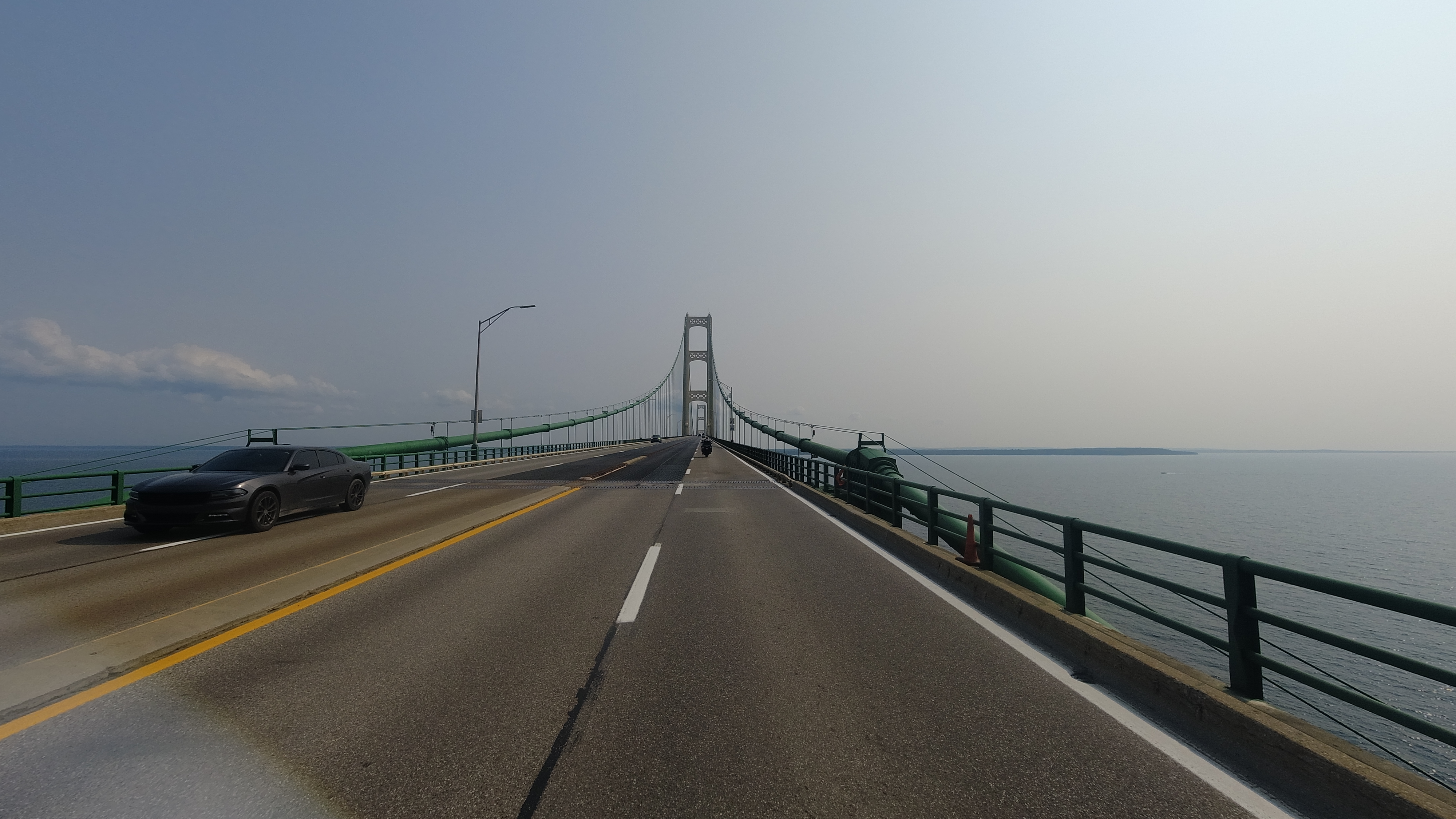
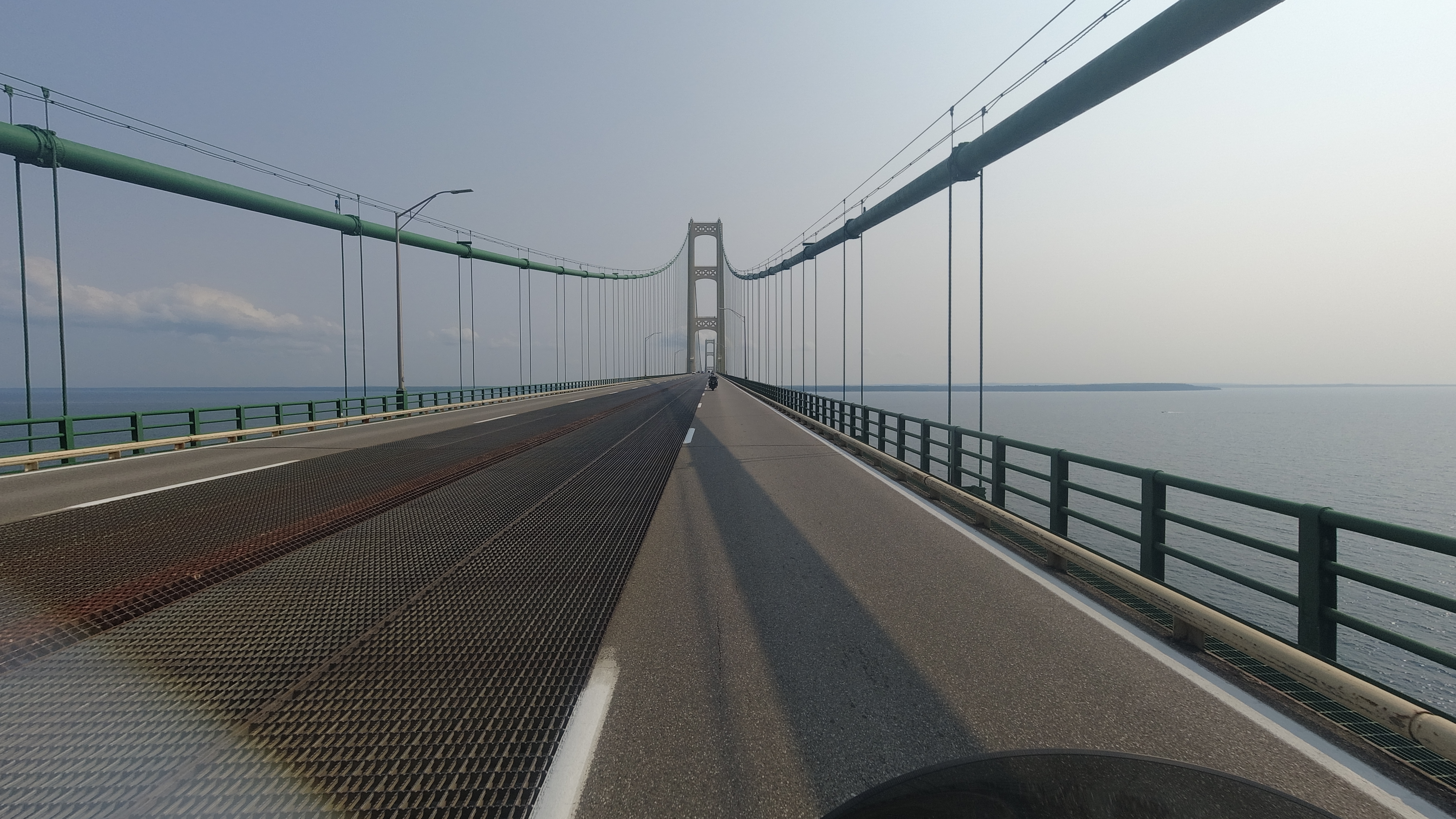
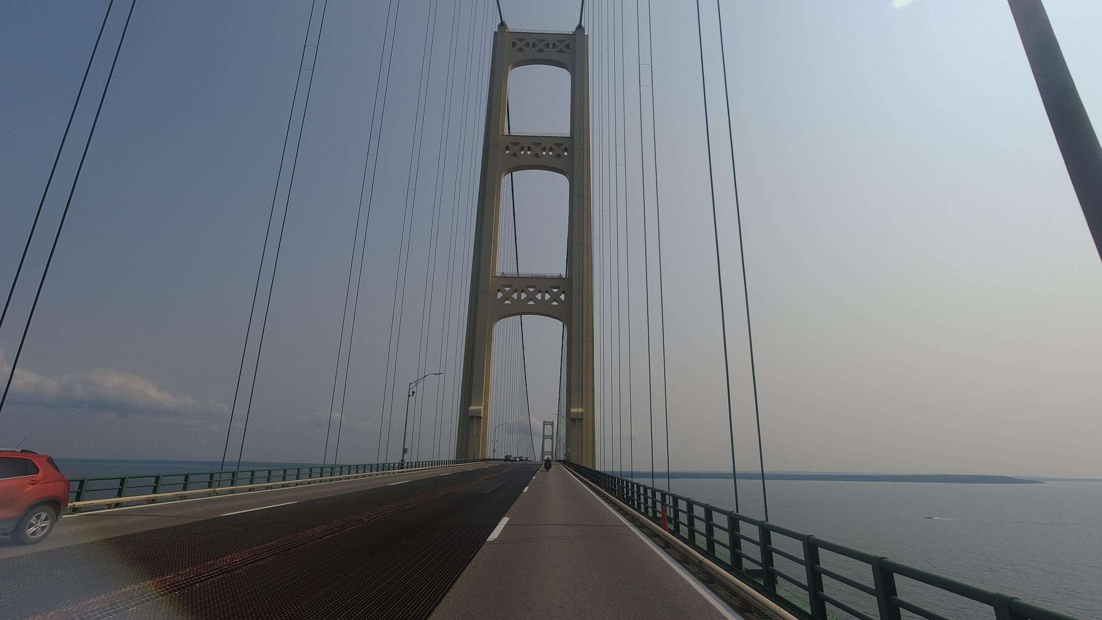
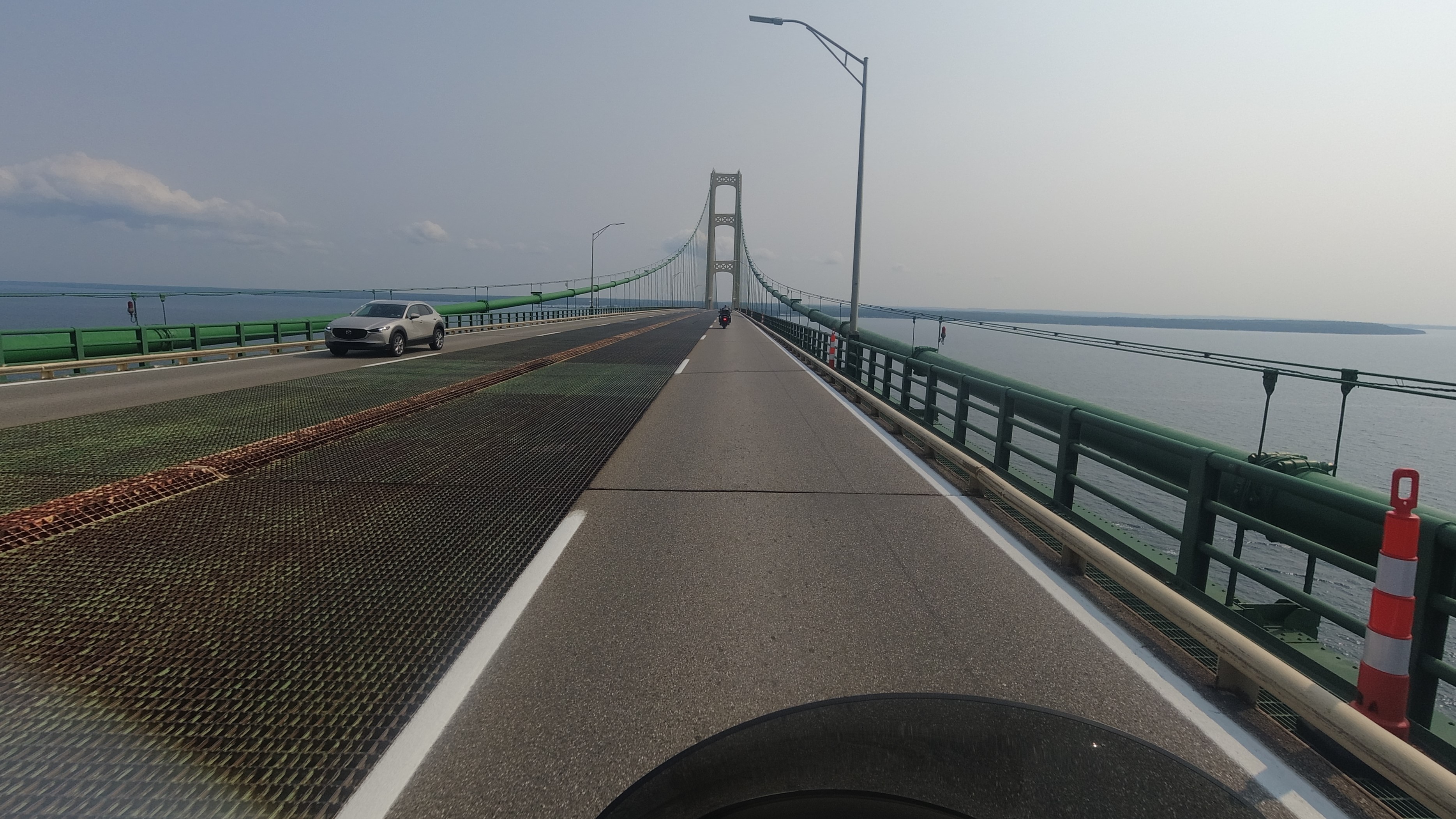
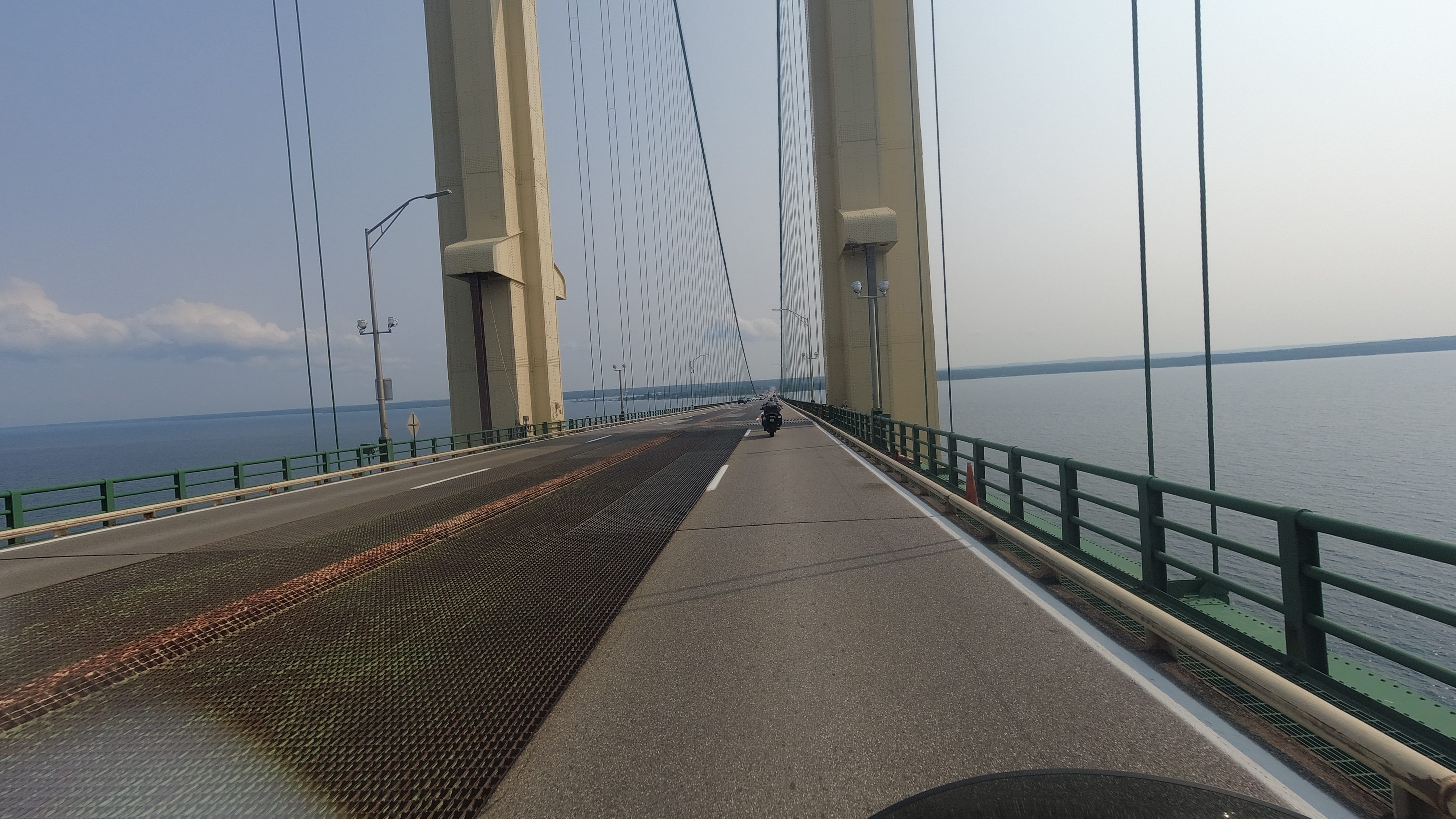
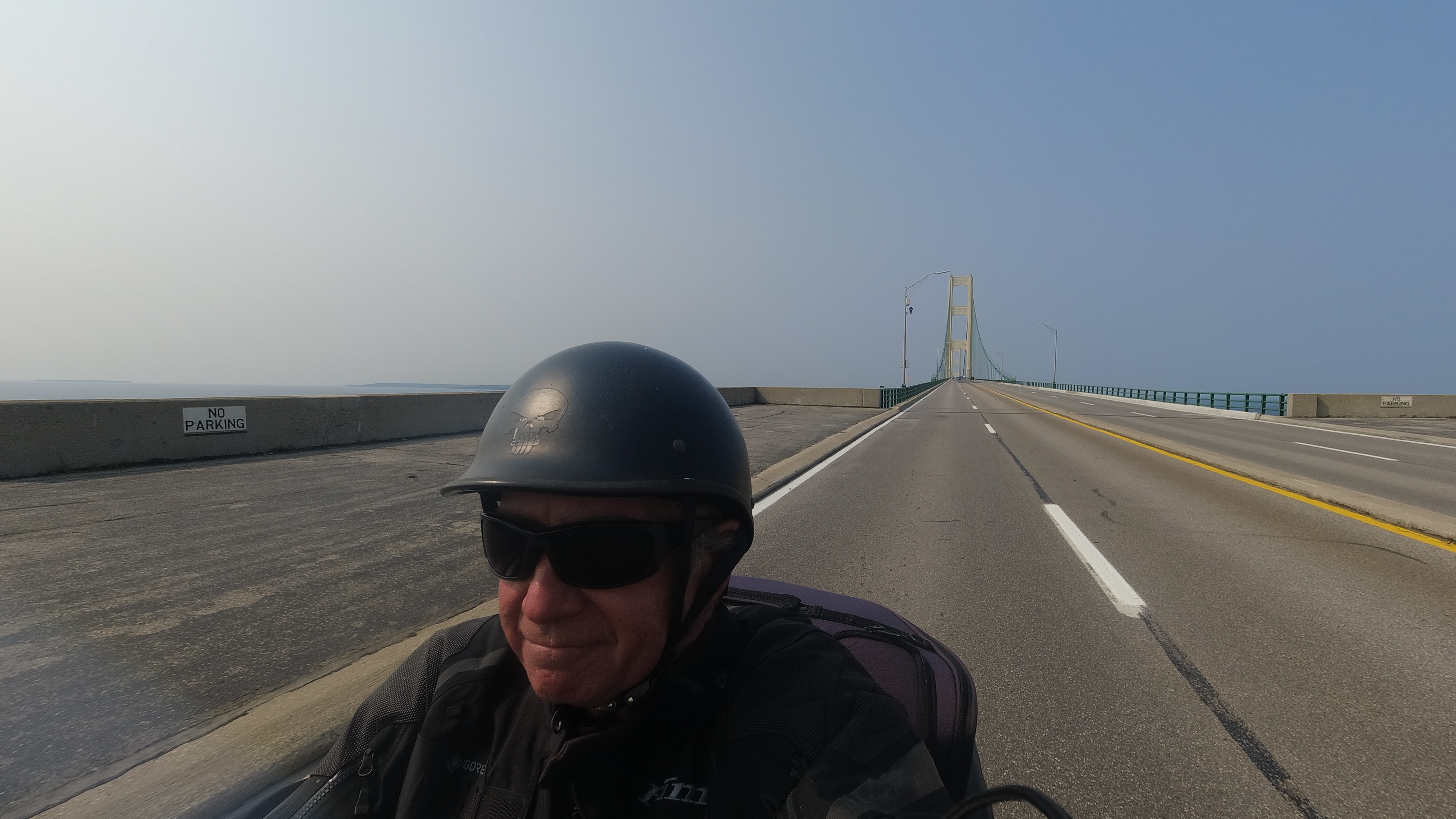
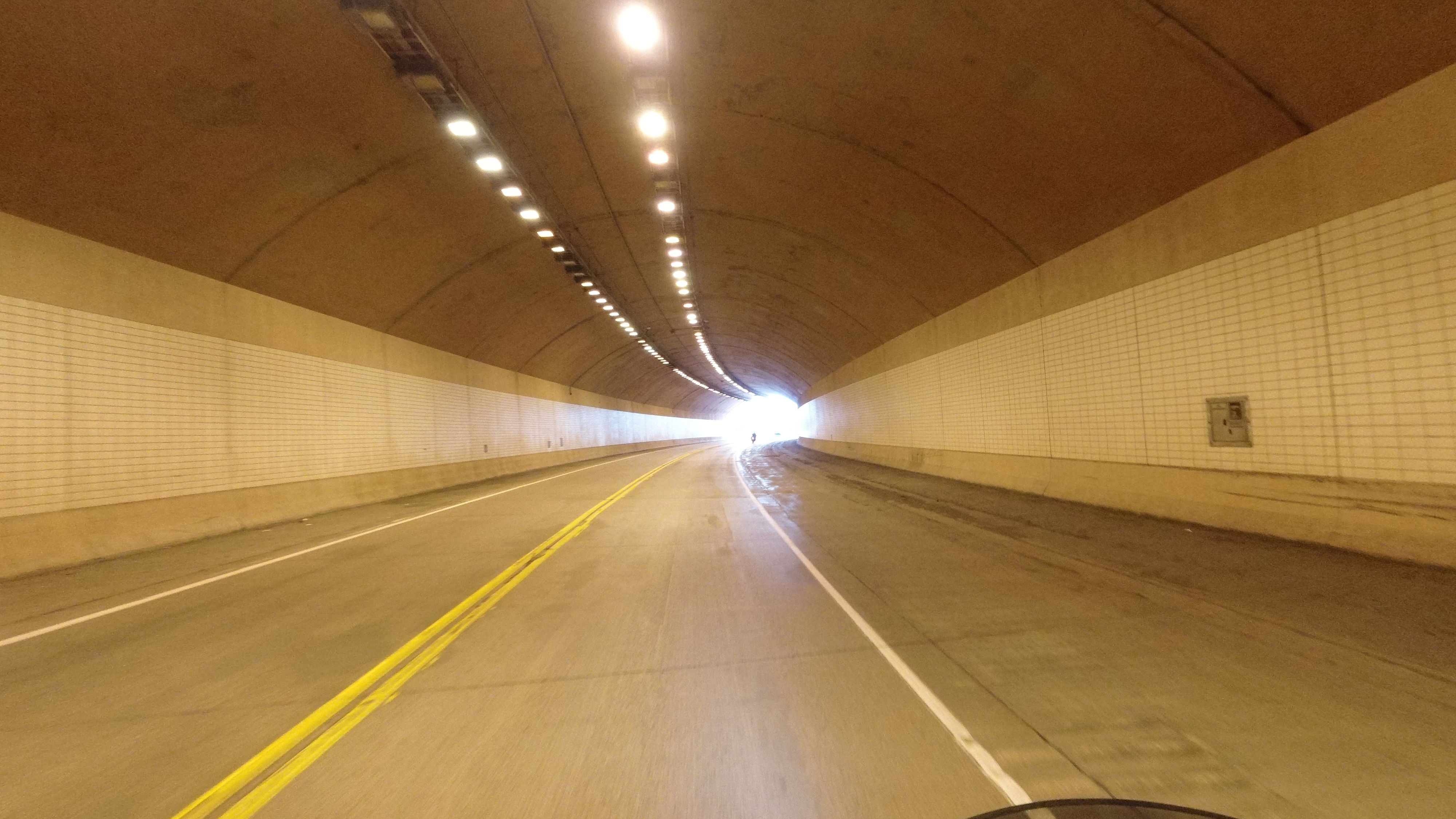
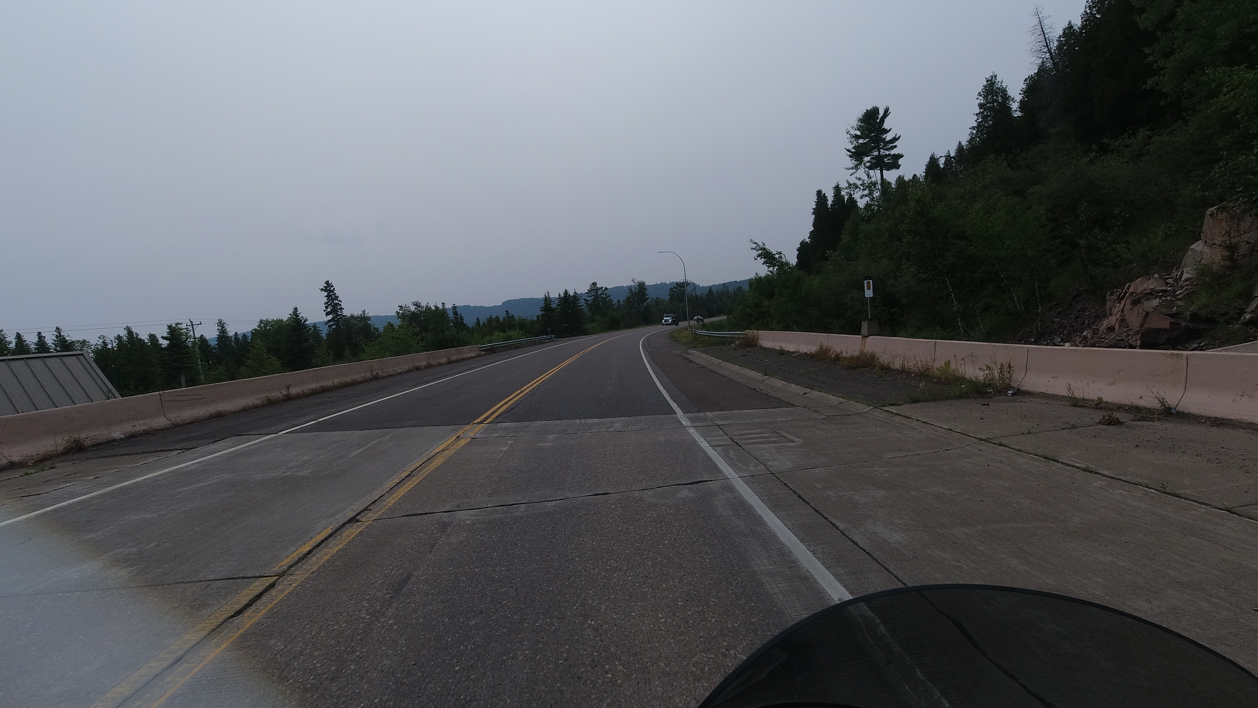
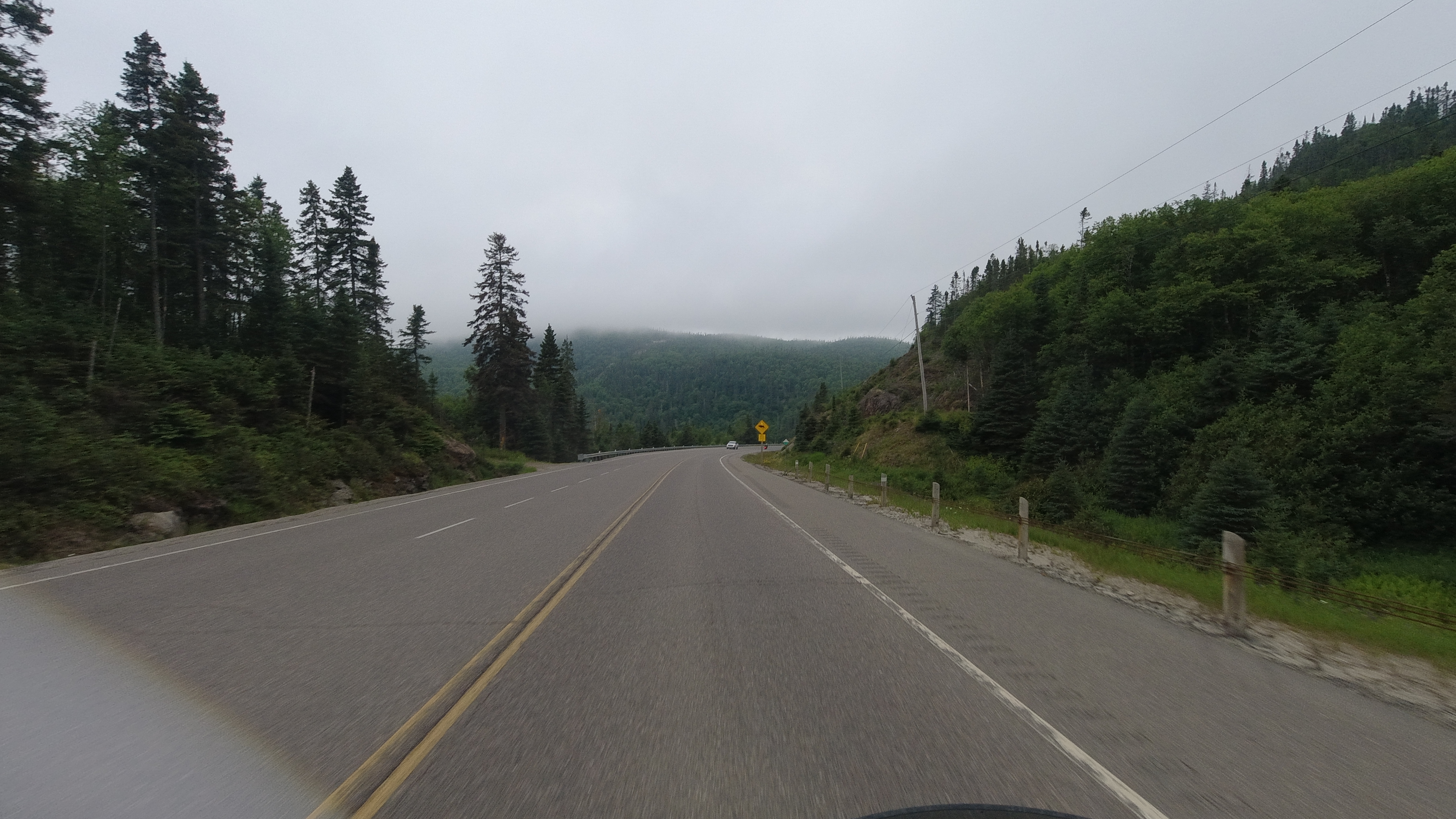
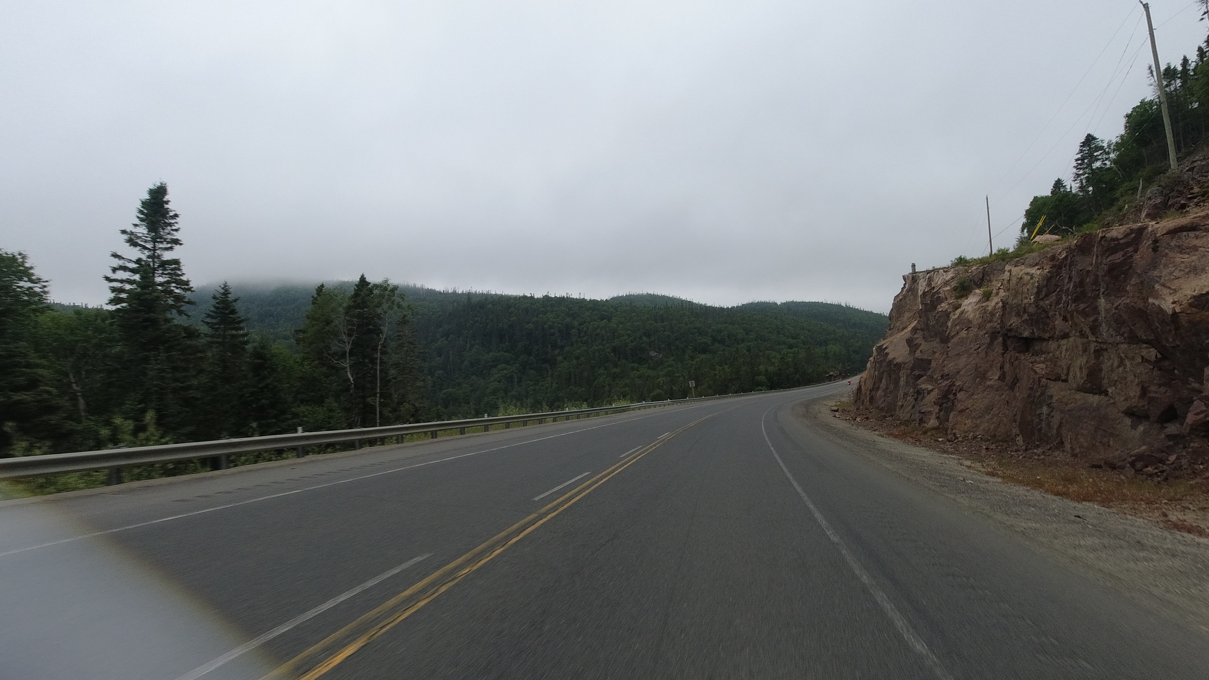
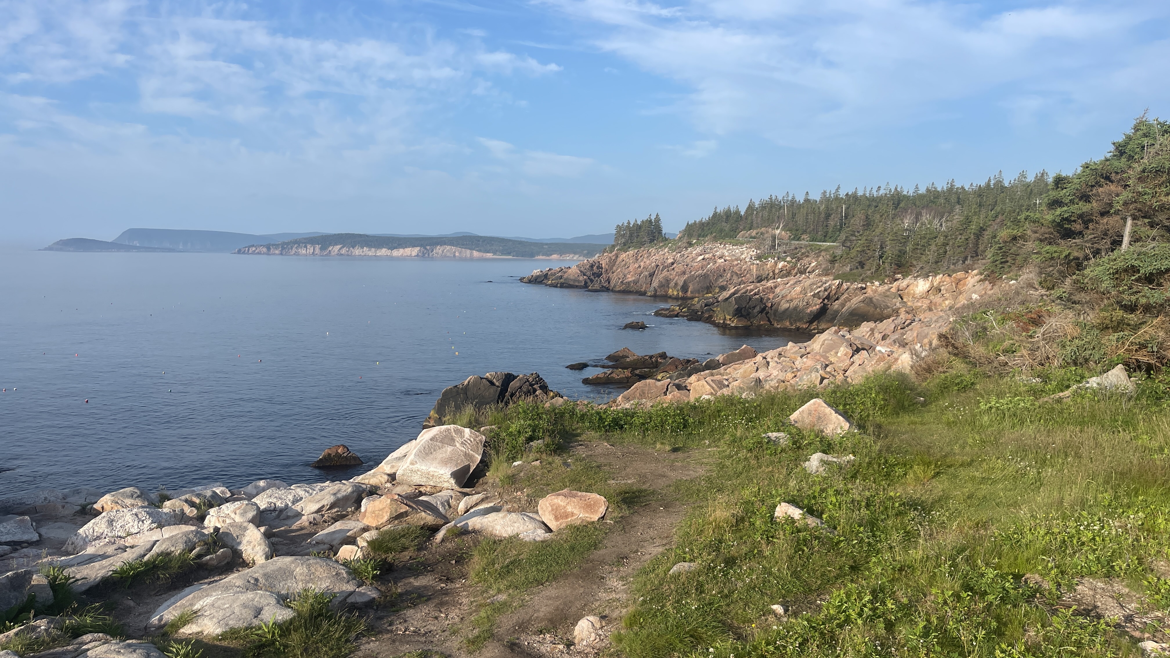
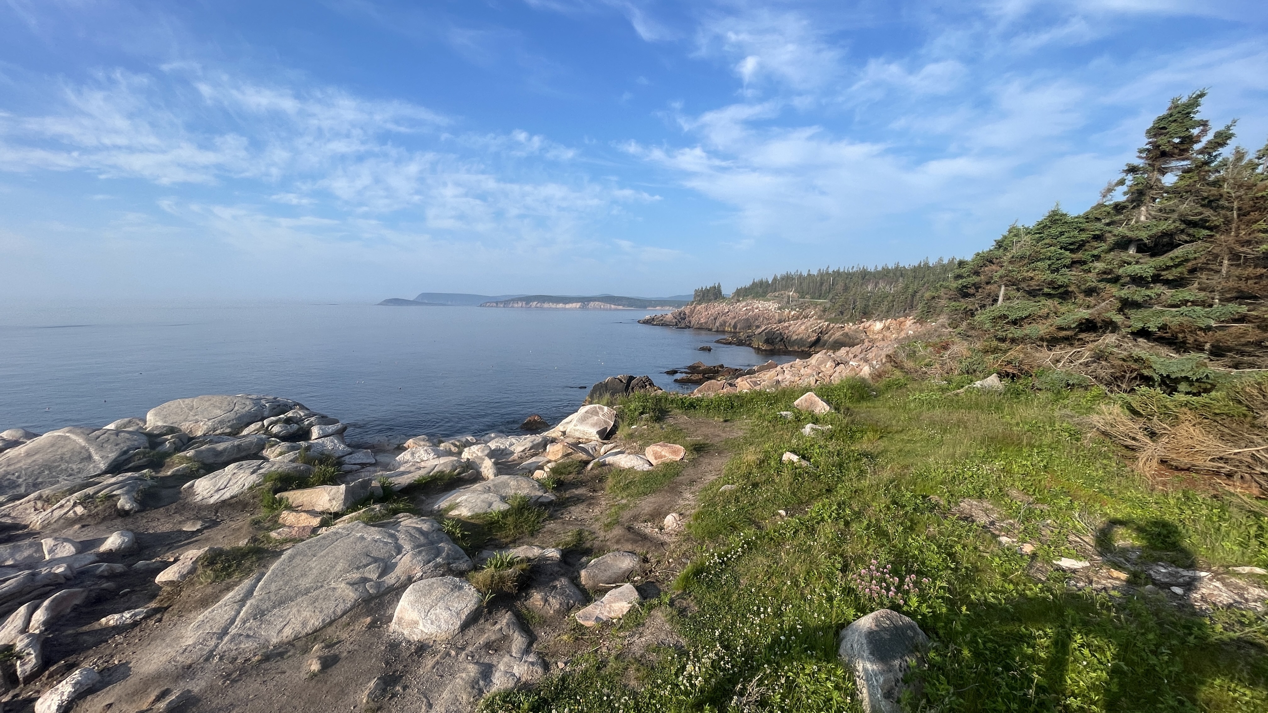
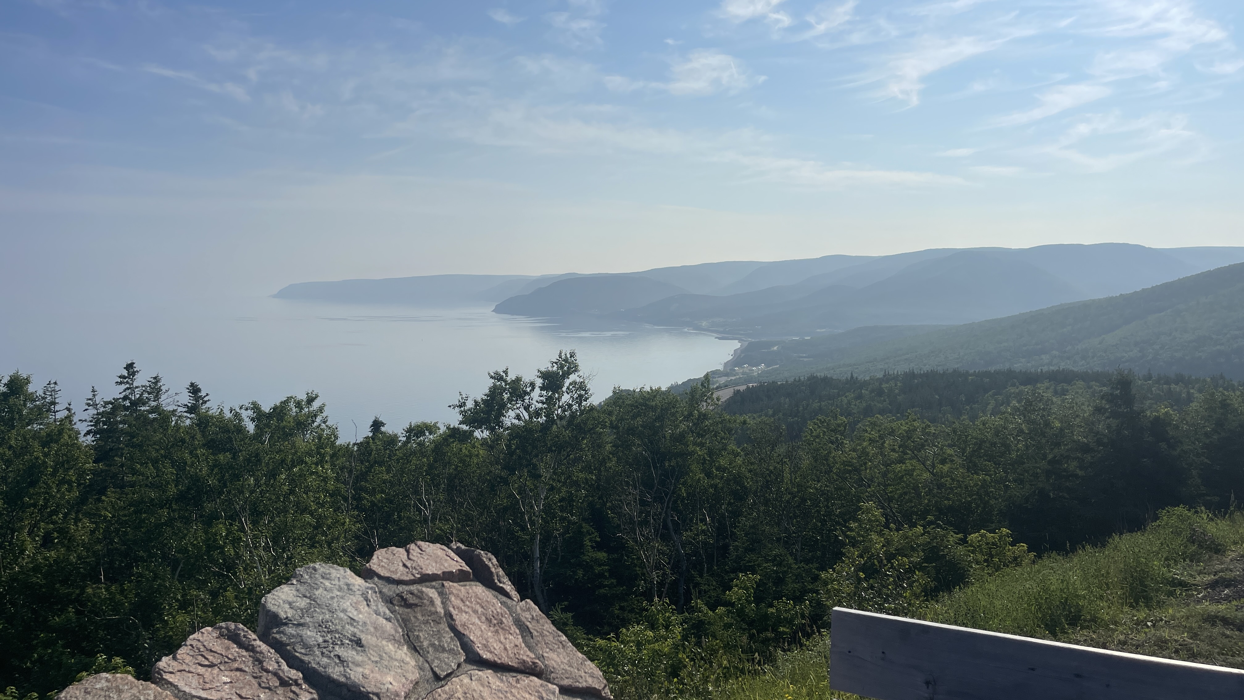
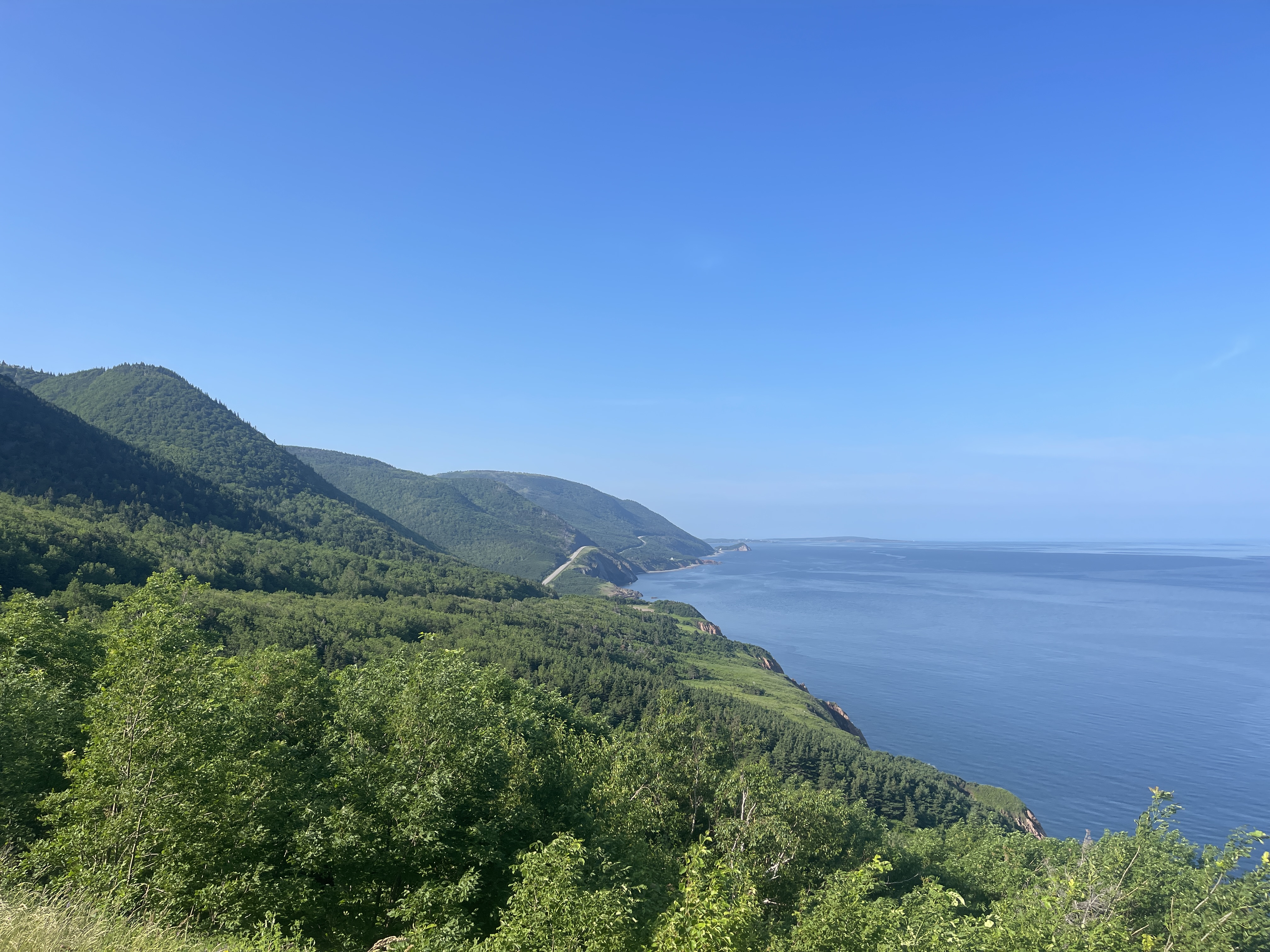
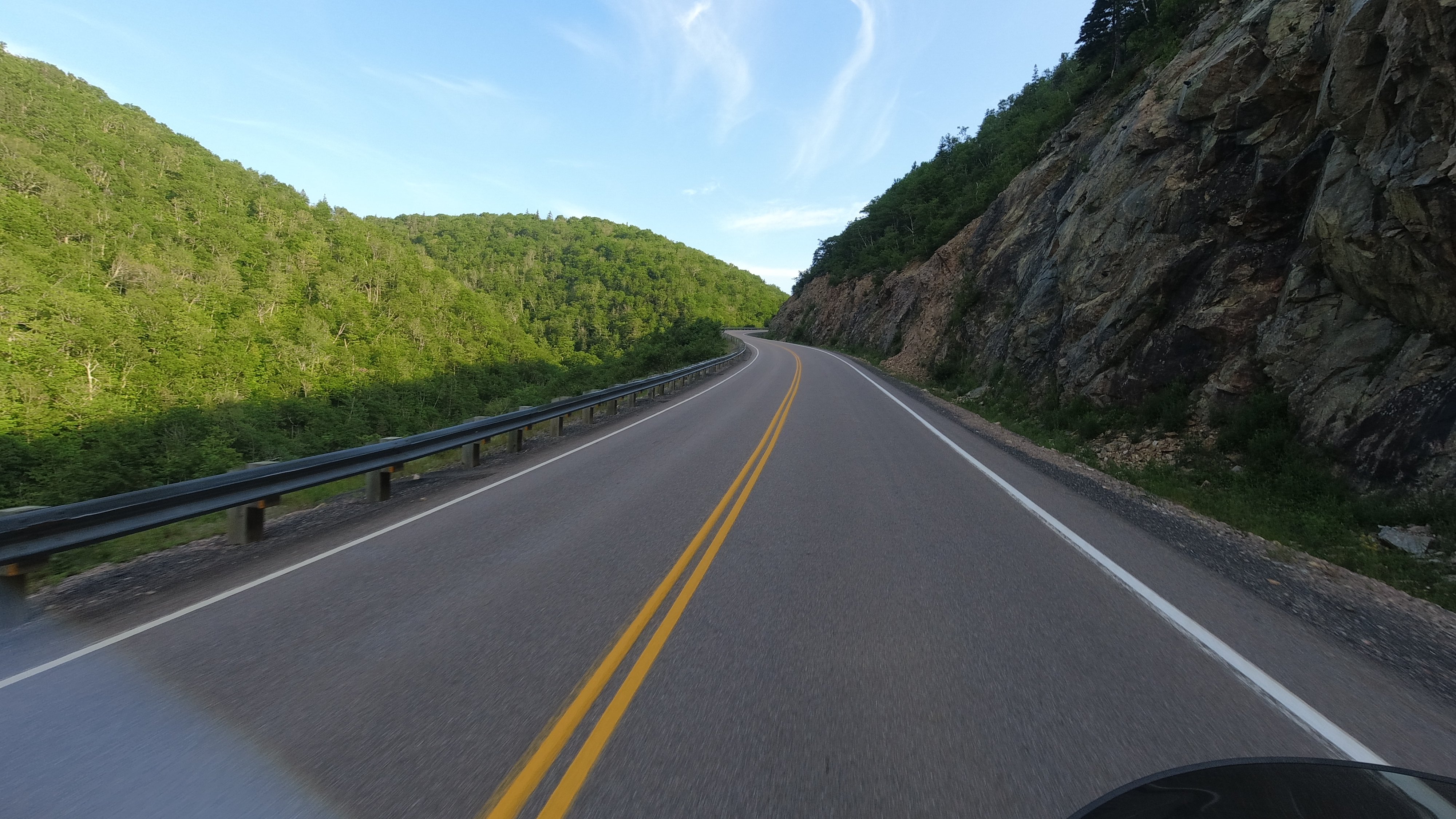
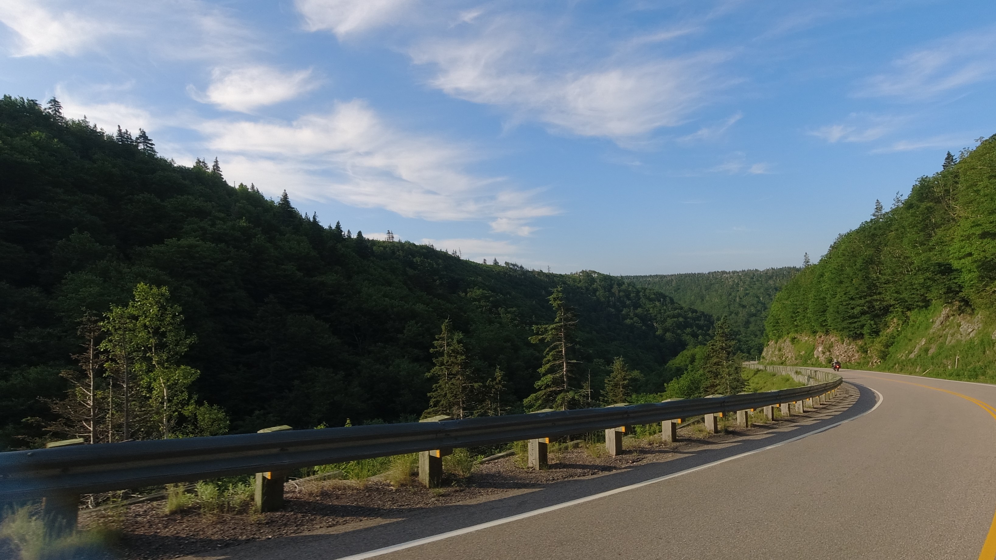
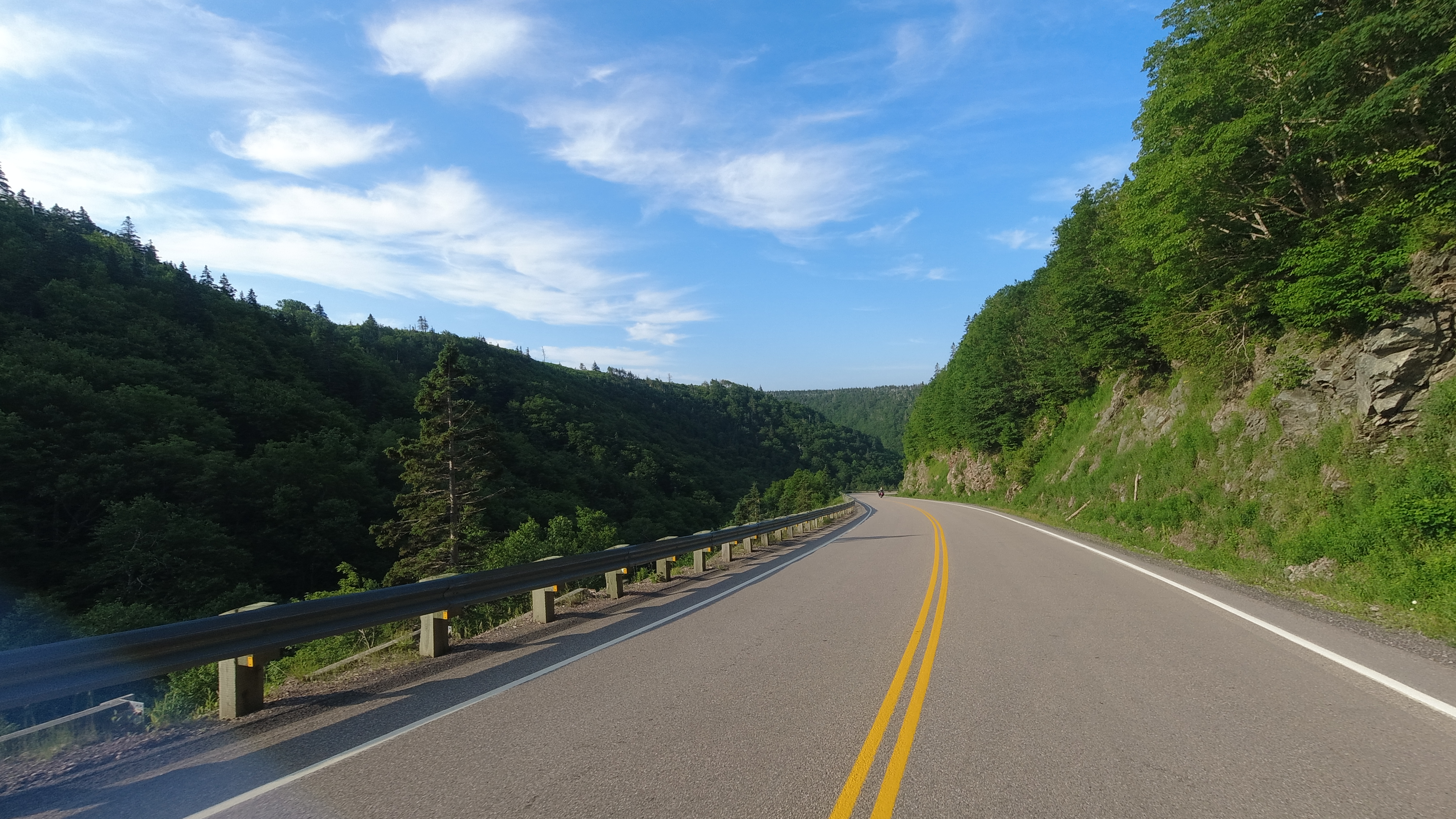
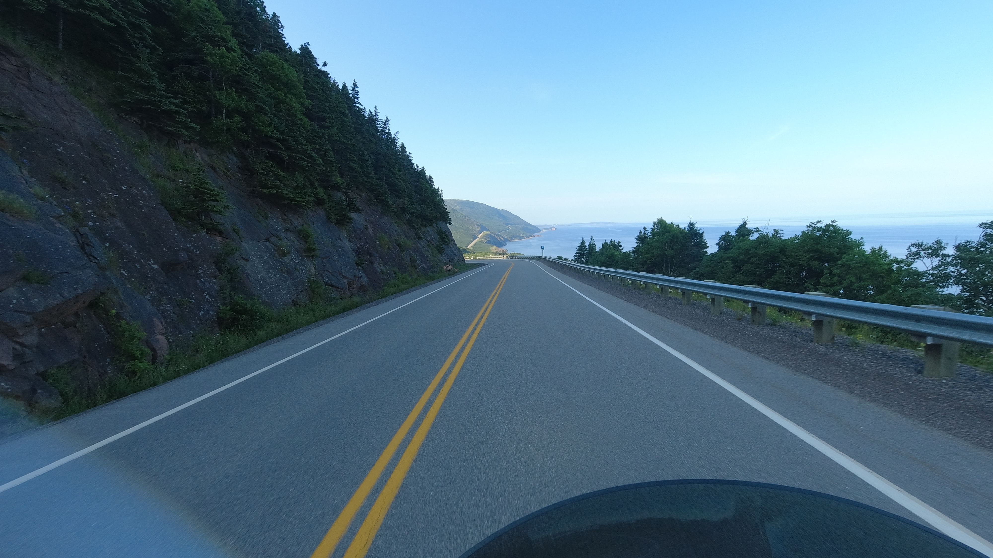
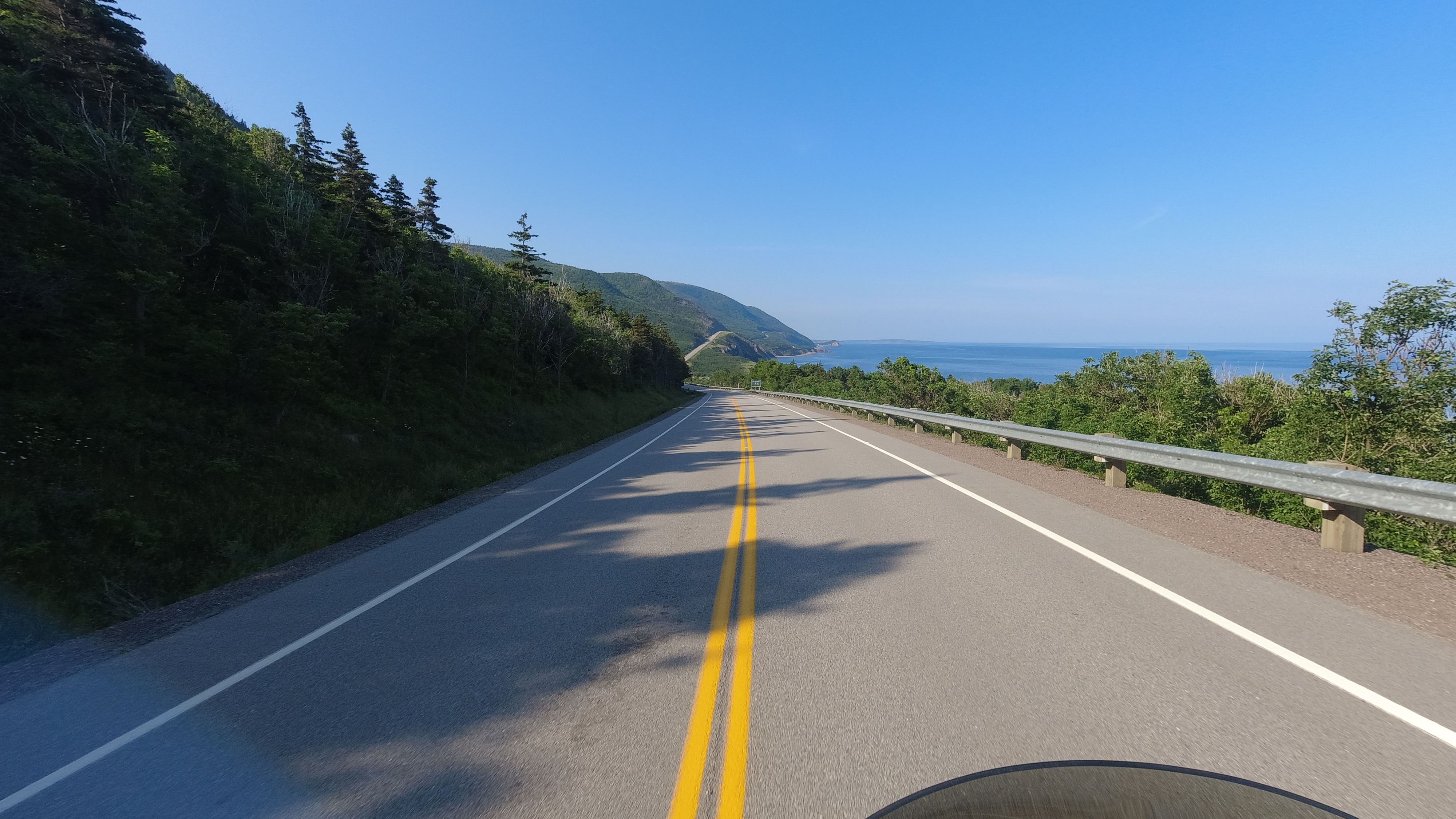
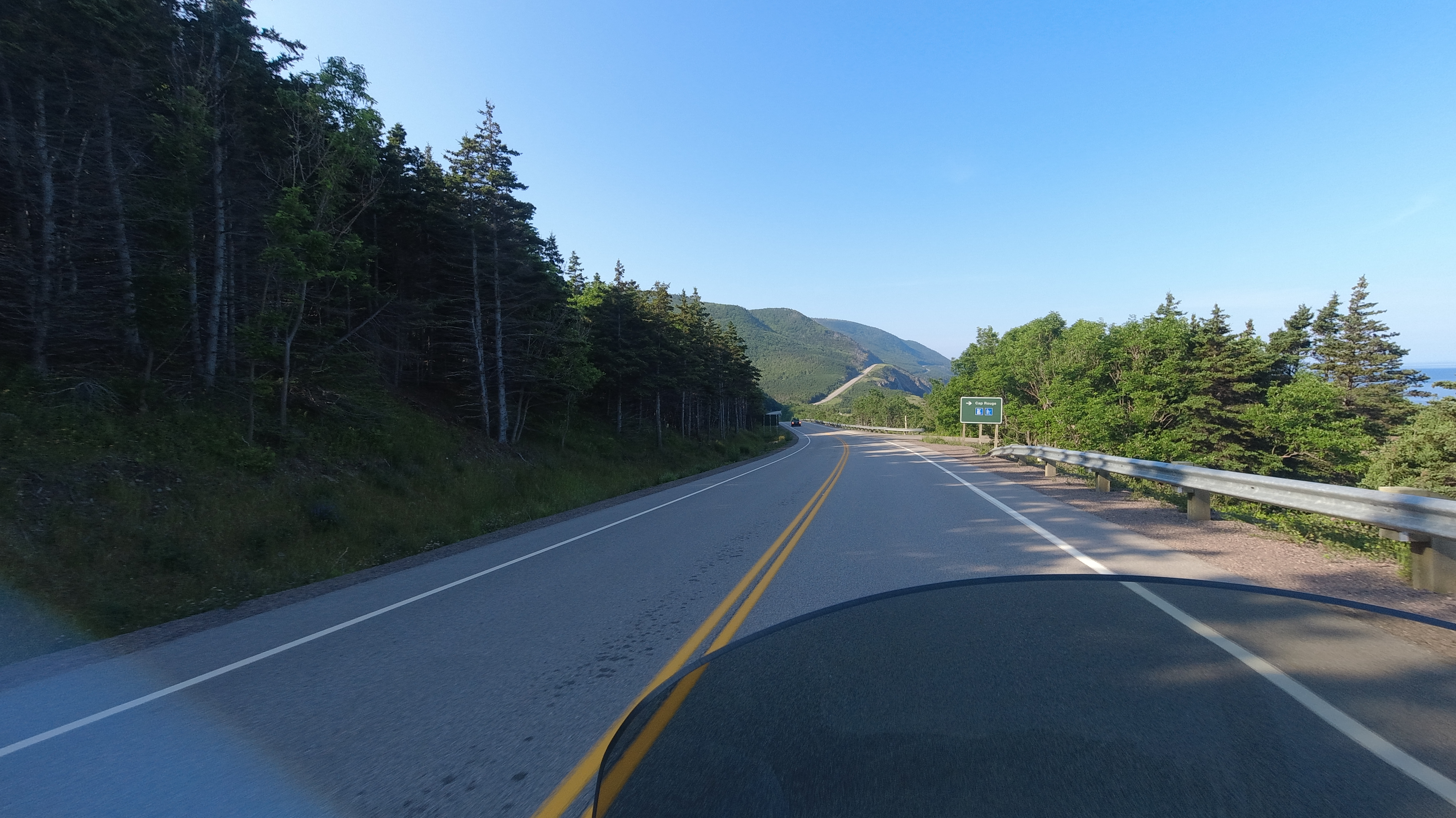
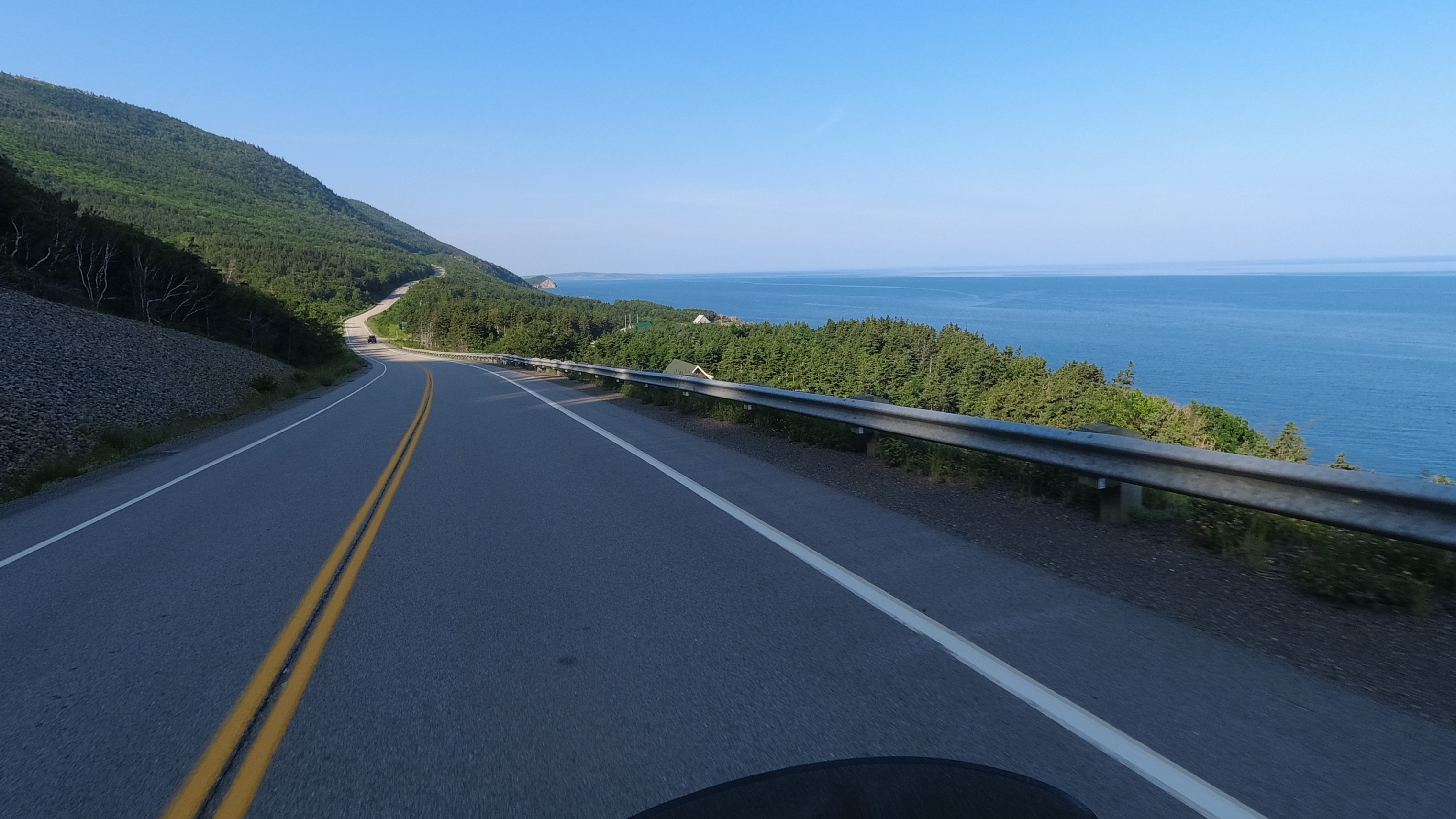
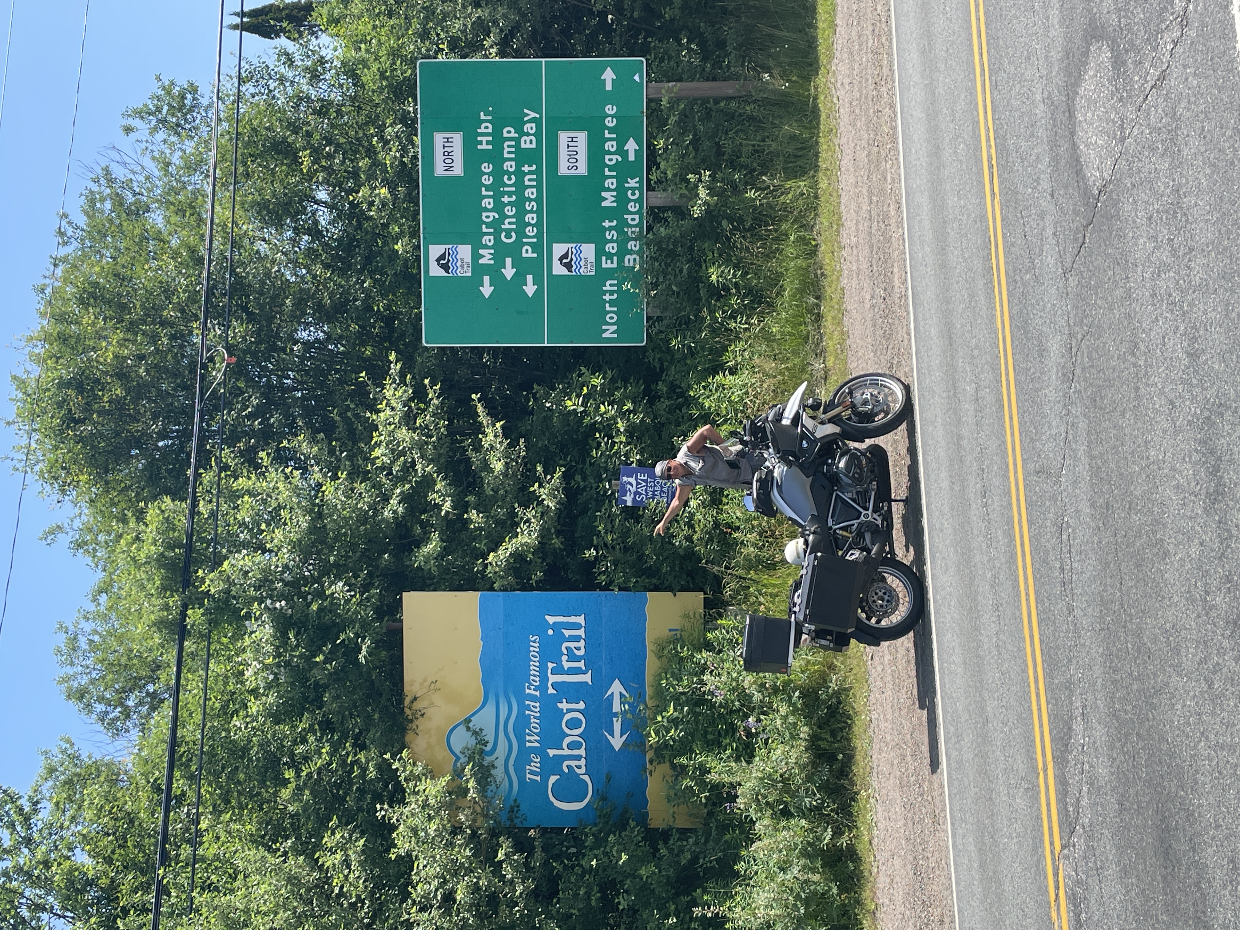
Mackinaw to Manchester ride video

Cabot Tour-7/15/23 Two Harbors MN to Mackinaw Bridge and Mackinaw City MI – Our Final Checkpoint #12 and completion of The Great Lakes/Cabot Trail Tour

We wake up to a red sky, but it is from smoke. The orange glow as the sun rose was the giveaway and we had that sight all morning long. We again start early, about 6:30, as we have a long day to get through the upper peninsula of Michigan and cross the bridge to Mackinaw City.

Our ride in the morning took us through Duluth Minnesota first then into Wisconsin before we entered Michigan. During that ride the sun was orange and the sky stayed smoky. Before leaving Wisconsin we picked up some wild rice grown in the area that we saw for sale. Rick reminisced on how good the rice was, so we picked some up for dinners we would have at my sisters house in two days.

While crossing the upper peninsula, we cut across the center of it. I never knew how so thick it was in the woods up here. It is pretty remote and every time I looked into the woods I was amazed how dark and wooded it was. We continued throughout the day crossing the upper peninsula, with only one hiccup – had to deal with a speed trap but we got out of it without a ticket.

Later in the day we were along the Lake Michigan shore line as we approached our final checkpoint. We could see the bridge as we got close and pulled off just before crossing the bridge at the view point park to get our pictures.

I have only crossed the bridge once in 1984, when I left the state to move to California. At that time I went through the upper peninsula because I had never been here. Looking forward to cross it again on this lovely day.

The Mackinaw Bridge is a 5 mile bridge, connecting the Upper peninsula with the lower peninsula. Started in 1954 and completed in 1957, the total cost was roughly $96 million, with the cost broken down as roughly $3.5 million to design, $26 million for the foundations, and $45 million for the superstructure. The balance was servicing the bond debt while construction until the bridge open for tolls.

It was a beautiful day to cross, sunny without much wind. The bridge is a 4 land bridge for I-75. We stayed in the outside lanes which were paved as the center lanes are a grate.

We crossed, found our hotel in Mackinaw City, and then congratulated each for finishing the Great Lakes/Cabot Trail tour. It was bitter sweet. Sweet that we finished it, bitter that the adventure came to an end.

2023-07-15 video

Cabot Tour-7/14/23 Wawa ON Two Harbors MN – Checkpoint #10 Kakabeka Falls and #11 Split Rock Lighthouse.

The sun sets about 11 pm up here as we are pretty far north. But we manage to get to sleep early enough to be ready to roll by 6:30. We didn’t plan to leave that early, but the mornings come early too up here.

The bikes parked outside our rooms revealed that there is a smattering of drops of water that came down. The skies are cloudy, but the forecast called for sunny sky’s today, or at least last night they did. It is a nippy 56 degrees so we start off with jackets, gloves and gators and I start with my summer convertible pants but with the legs on. We roll out of our motel at 6:30 am and continue west towards Kakabeka Falls, 300 miles away. We also plan to do checkpoint #11, Split Rock Lighthouse and we have a room in Two Harbors MN reserved, so we have almost a 500 mile day.

The roads are empty this time in the morning and even though the speed limit is 90 kmh (56 mph), we are traveling at 83ish mph with the road to ourselves. I keep a sharp eye out for critters this early in the morning. About an hour into the ride the clouds are still up there and darker. We start to feel sharp raindrops hitting our face. No raining per say, but enough drops to sting.

But several minutes later there are more drops and the street is getting damp, and later a bit wet – but no hard rain, just hard sprinkle. We slow down to about 65 mph and my pants are starting to get wet from the overspray from my tires. The sky too is getting darker – we thought we would have sunshine and clear skys by now.

I think this leg is were we get all our construction jobs as it seems we are constantly getting the “one lane road ahead” or “Flagman ahead” signs constantly, and sure enough, we are stopping a lot today. At one stop, it was long enough for Rick and I to wash our hands and for both of us to put on our hoodies. I also swapped out my pants for my rain gear pants. This one construction stop was thankful as we were able to change our gear.

We get rolling after this one long construction stop and the fog has rolled in a layer around the hilltops. It looks like it might rain, but it never did, and as soon as we passed through this hilly section, the fog lifted and the sky was blue! We enjoy this until we hit the next construction flagman, then the next one, then the next one…. I think we lost a total of 1 hour of riding time due to the bunch of construction that was going on in this section.

Even though we had to deal with the construction we had some great views of this upper region of Lake Superior. And when we did ride along the shoreline, it was cold! We continue west and the day again turns to a high clouds, so the sun is not really out in full force. By 12:30 p.m. and 200 construction zones we reach Kakabeka Falls.

This is a beautiful park in this small town just 10 telephone poles up the road and to your left. We pull in to take our pictures and also walk around the park. Pretty big falls and not too many people around.

By 1:30 we leave and we are heading towards checkpoint #11, Split Rock Lighthouse by Two Harbors Minnesota. But in 25 miles, we will be crossing the border and will be back in the states. We have been in Canada for 8 days and for me it was a fun experience. The people we friendly, curious and helpful, wanting to show off their Canada and be helpful. With just 22 miles till we got to the border and we were at another construction stop ,the man in the stopped car ahead of me got out, noticed I was looking at my GPS and he was telling me the border is just 22 miles away and this should be the last construction stop. It will feel good to be coming back but at the same time, it is a closure on this part of the adventure that was an experience.

We cross the small border crossing and are now about an hour from checkpoint 11, Split Rock Lighthouse. The sky seems to get smokier as we proceed along the lakes edge. There is definitely smoke from some fire. We continue to Split Rock park, and drive down to an vantage point. What we find after a short hike is a classic image of what a lighthouse should look like.

We then leave the park and head to our hotel in Two Harbors and call it a day after we eat at a local craft brewery place where I get to try some Cheese Curds. Oh boy…

Tomorrow we have our sights set for the final checkpoint, Mackinaw Bridge and the completion of the Great Lakes/Cabot Trail Tour ride.

2022–07-14 video

Cabot Tour-7/13/23 Sudbury to Wawa ON – towards Checkpoint #10 Kakabeka Falls ON.

We woke up to cloudy skies and the weather outlook was clearing locally and sunny where we were heading. Rick already made reservations in Wawa Ontario as it was our halfway point to Kakabeka Falls and he found a unique looking lodge with an attached restaurant and bar.

We left at 6:30 am after filling up our tanks. We left town on Trans-Canadian highway 17, which is a freeway here in Sudbury. Canadians sure make large interchanges for thier freeways. Google was barking instructions and the on ramp was 1/2 mile long before merging on the freeway!

We leave everyone behind on the freeway as the freeways are empty this morning and we traveling just a bit faster than everyone else . The freeway turns into a two lane highway shortly after it leaves its city limits and traffic is light on this smooth pavement. We make good time as we do not top till we had about 120 miles clicked off. I pulled over at a gas station by the lake shore to take our fist break.

The t-shirt in front of me in line at Tim Horrin”s

We noticed a lot of our gas stations have Tim Horton’s restaurants attached or next door. At this one I had to check it our as I wanted some strong coffee. Turns out these Tim Horton’s are really like our Starbucks but with a bit more offering on the food side. That is why we saw so many of them. After my fix we take off again and we soon approach the shoreline of Lake Superior.

All day the weather was clearing as we ticked off the miles. The air became crisper and cleaner. The skies bluer. The few clouds in the sky were white as cotton and almost appear to hang low. I felt as though we were slowly climbing all morning. In the big scheme of things, perhaps we were. After all, the great lakes all eventually have to drain through Niagara Falls and the St. Laurence Seaway

We continue along the lake shore, getting glimpses every once in awhile where there is some tree clearings. The terrain in this part is more rolling hills. By 2p.m. we reach Wawa. We were told Wawa has a unique monument just outside of town. We see it as we arrive. We also see more in town.

We find our hotel, The Wawa Motor Inn, and call it a day. Tomorrow we will try and get checkpoints 10 and 11!

Cabot Tour 2023_07_13 video

Cabot Tour-7/12/23 Ottawa to Sudbury – Checkpoint #9, the giant nickel in Sudbury.

We woke up to a clear morning, but a bit chilly early on. We pack up and roll by 7 am. We both are wearing our jackets and gloves to start off, but I opt to still wear my riding shorts – big mistake. Although it was ok, at our first gas stop I wised up and added the lowers on the convertible pants.

Todays ride takes us west still with a northern tilt. It was a freeway in Ottawa it quickly became a two lane road but not as crowed as yesterday. It was more like riding around on country roads but did have to pass once in awhile, making it a very enjoyable ride for the day.

We pass lots of lakes today, along with farms of farms and small towns. One farm had some bright yellow crop growing that was quite a visual site to see in this green landscape in Canada. Buy about 12:30 we find ourselves in city traffic in Sudbury navigating to the Big Nickle.

Again, we did not know anything about this checkpoint till the day we traveled there. At gas stops conversing with people asking us about our journey, we find out that we are going to a large Nickle mine with a giant Nickle and a discovery center. I assume the mining company running this center as it is right next to the mine and you can do mine tours if you wish.

We get through town and find the giant nickel and take our picture and decided to check out the center and get our receipt while we are at it.

The discover center shows films, has a rock exhibit showing you what minerals come from what rock, a café, mine tours and lots of old mining photos. While observing the gems and stones, you forget how much of our daily items are minerals and come from mining. After spending about an hour milling around the center, we decided to stay in this town and call it a day, so we head to the Hamptons Inn, and while we wait for our ground floor room to be cleaned, we walk to the restaurant “Shoeless Joe’s Sports Grill” in the same parking lot to have a dessert of ice cream and cookie.

Cabot trail-2023_07_12

Cabot Tour-7/11/23 Quebec City to Ottawa Ontario – Finish Checkpoint #8, The Walled Cities and head towards checkpoint #9, the giant nickel in Sudbury ON

Checkpoint #8 was to visit either walled city of Montreal or Quebec. First of all we didn’t know what was meant by the walled city. Some google searches revealed where we need to go, which was basically old town area.

We went to bed with it raining, and when we woke up, it was still drizzling. After some discussions, and looking at the weather where we needed to go next, we decided to do our documentation for Quebec and then head east as the weather was clearing that way. When we loaded up our bikes, the rain had stopped but it was still very much threating all around us except for a blue patch in the sky. By 8 am we left the hotel to head to Old Town district. Rick maneuvered us through side streets that lead us there in about 20 minutes.

Didn’t really know what to expect as all I have seen was the photos of old brick buildings. As we approached, the grandeur of old town started to appear in the distance. And sure enough, we passed through some old wall and an arched gate area. If it wasn’t for the cars, you swear you stepped back in time looking at these small streets with magnificent buildings made of stone. We pulled over for some photo ops at various areas and then we parked to buy something to get a reciept, which ended up being some coffee.

Looking at the main cathedral building, ones mind wanders on how did they build these in the 17th century with rope and pully and horses. Streets and all are all made with stones. The charm of this town is amazing and one needs to visit this area to take it all in.

It still wasn’t raining, maybe a sprinkle here and there, so the rain worked in our favor as it wasn’t busy here in this tourist town today, and it wasn’t raining now. I finished finished my coffee with a shot of expresso, and Rick and I then left old town to head west for Ottawa. As we left town and found the freeway out, we missed a few cloud burst near us and as we clicked off each mile, the payment became dryer and dryer and within an hour we had dry payment.

The freeway eventually become a two lane road with passing lanes every now and then. Approaching Montreal a 100 miles later we find ourselves on a freeway again and in LA type of traffic with no lane splitting, but we manage to slip through and the sun is now starting to peak out. The road returns to it’s two lane configuration as we continue west to Ottawa. This northern corridor is rather busy with trucks and cars. We we pass and get around some trucks and cars, we can travel at 70ish for awhile, but then we catch up again to slow pokes. The speed in this wide open area is a painful 56 mph (80km) and most truckers and people follow it.

By 2 pm we make it to Ottawa to call it quits and we are back in English speaking territory and when we go out to eat at the local shopping center area, it is nice we can read the menu and communicate with the servers. We get back to our hotel before the evening thunderstorms hit the area and start mapping for the next day.

Cabot trail 2023_07_11

Cabot Tour-7/10/23 Moncton NB to Quebec City – Via Madawaska and the Four Corners Park

The Great Lakes Cabot Trail Tour is a ride with 12 checkpoints. Today is checkpoint # 7, Madawaska ME and the Four Corners Park. Later, we will head to Quebec for #8 and the Walled City.

We have been very lucky regarding weather, but have kept an eye on it. But today we think we may get some rain later in the day. Weather Apps, radar maps, looking up weather forecasts of the cities we will be going through on our ride that day, are all part of the tools we use to figure out what to wear for the ride and what to expect or do during the ride. Todays plan was to get in and out of Madawaska before it rains.

“Red Sky at Night, Sailors Delight, Red sky in the morning, Sailor take warning” was the thought when we go going this morning. Cooler with mostly high clouds and a reddish sunrise. The ride in the morning is very fast as we are on an interstate type of road, and not a lot of cars on it. We travel mostly just at 80 most of the morning and arrive, cross the border into the US in Madawaska under cloudy sky, but no rain. We did our pictures and the birtch wood arrow showed no rain on the old indicator at the park, and we said we will take that.

We cross the border again back into Canada and continue on the highway, which eventually gets to a two lane road and a massive construction project of expanding the roadway through this valley we are dropping down into. Seems like Canada road works are massive expanding projects consuming vast amount of land. I look at them with awe as the cuts through this valley.

For most of the day we were riding in mid to high 70’s to low 80’s and now as we approach the St Lawrence Seaway and make a westly turn towards Quebec. The temps dropped to 63 degrees, so I pulled off to put on my jacket. Five minutes down the road, it was 80 again.

The sky was overcast, a bit of a drizzle. We stop to gas up one more time as we were about 50 miles from Quebec. When we were in Madawaska, we thought we might hit a bit of weather. So far, so good. We left the gas station and continue west when it started to drizzle. Still, warm water, not a hard drizzle, we still can travel fast and pass cars. We continue on and it gets heavier. We past another motorcyclist we had met at the gas station as they had stopped under and overpass to put on rain gear. We continue on – I’m thinking we can get there before it rains harder or we punch through this cell.

we are no 30 miles for Quebec and I pull us over under an overpass to put on my large fulll face helmet. I’m still in shorts, and wet, but its warm so no use putting on my rain pants at this point. Rick puts on his goggles but opts for his small helmet. We take off again.

We are now the slow riders. Ever one we blazed by earlier is now passing us and spraying us with water as the rain gets harder. Really you just slow down and focus on what’s in front even though seeing is difficult. You don’t have a wiper on your shield, and you tend to fog it up so you lift up your shield and water also gets on the inside of the shield. Basically, you can’t see very well….

I look in my rear view mirrors and I can’t see Rick’s lights…. I’ve lost him. We both know where our hotel is as we made reservations and have it on our GPS’s or phone. So I just keep going slow and hope to see him, but no luck. the miles click down and that is all I’m focusing on at this point and hope Rick shows up too. At about 10 miles from Quebec traffic is heavy and about 6 miles left we are in bumper to bumper traffic due to weather and construction. The stop and go traffic is better at this point as everyone is slow. I follow the maze on my GPS listen to the voice commands into the city of Quebec, with French signs and long French sounding roads that by the time Google maps say the name you have past the street.

I see the Best Western and pull in under the roof of the reception area and dismount the bike. My shorts are drenched and my right boot squishes as I walk. I literally took just a few steps and I can hear a bike in the distance and then I can see Ricks lights at the corner. He was not far behind me even though he had stop to fix his eye covers. We were both relieved that we were both at the hotel and not in some ditch.

The rain was still coming down – this was one of those all day rains, just steady and continuous. One of the reasons we choose this hotel was they had a restaurant attached to it. We find out it is closed on Mondays. I asked where the laundry services are, they don’t have any but they can tell you were one is about 1 kilometer away. No thanks, don’t want to get back on the bike, just need a dryer.

So I get out the hair dryer at the hotel and use that. We did walk to a nearby French pizza café and was treated to delicious pizzas, IPA’s and excellent desserts! The French do know how to eat.

Rick studies the weather that night, and we come up with a few idea’s depending how the weather is in the morning.

Cabot trail 2023_07_10 video

Cabot Tour-7/09/23 Ingonish NS, Cape Benton Island to Moncton NB – Finishing The Cabot Trail

Woke up to a Happy Birthday greeting from Rick and a reminder that today was my 65, officially and senior now. We woke up early, it was clear and warm, and we were both ready to roll at about 6:30.

One thing I noticed is that these towns close up early and open up late. We didn’t want to wake anyone up with our bikes so we coast them down the hill to the street and fired them up to start this day.

At his point of our Cabot Trail experience, I was a bit underwhelmed. I always go in rides without expecting much, but so far, just nice views, pleasant people and quite towns that we have passed through. Don’t know what the fuss was about this trail, but I didn’t read up on it either. All that changed today, because I guess we choose the correct way to see it.

We continued into the morning and now we were entering the national park, or skirting it on the side. We started climbing some good elevation. Up to this point we basically were riding at sea level =/- 300 feet. Now we seem to be climbing roads at a 7 to 8% grade and lots and lots of green trees. We are also climbing inland. we eventually hit a platue and ride a bit flat before we drop on twisty roads and climb up on twisty roads again, but heading towards the water as you can feel the cooler air. Then we come over a ridge to see the vista of the rugged coastline of the Cape Breton and the road we will be traveling on in the distance. Reminded me of Bir Sur in California, mountains on one side and the coast on the other. Beautiful view as we stopped to take pictures and videos and we did that until we reached the town of Cheticamp – that’s right, the locals pronounce it shittycamp.

We stopped in Cheticamp for breakfast where Rick treated me for my birthday and then we headed out on highway 19 along the coast until we reached Port Hasting and the swing bridge over the channel. From there we just kept going till we decided to call it quits in Moncton NB for the night

Cabot trail 2023-07-09 video.

Cabot Tour-7/08/23 Turto NS to Ingonish NS, Cape Benton Island and The Cabot Trail

We left Turto at about 6:30 a.m. Goal was to get started on the Cabot Trail on Cape Benton and stop somewhere on the trail, or complete it. We had good weather forecasted for this area and we were ready to push to our farthest point east.

I left my credit card in a gas pump in South Carolina, and my replacement card is in my phone as I don’t have the physical one till I get to Michigan where I had the replacement sent, so we both have been learning how to cope with some gas pump challenges. Rick at times gets issues with the pump asking for a pin for his card and he doesn’t have one. I have been running into the stores to either prepay or ask if I can fill up and then tap pay with my iphone after. But today we learned a few new tricks. I found out most of the newer pumps in Canada have tap pay on the pump, so I just use my phone and pump. If not, a lot of the pumps have a prompt option for “Pay Inside”, and when selected, it will let you pump first, the pay which has help both Rick and I.

We make good time this morning, even though there is a good fog for the first hour, but it clears up nicely. About 4 hours later we get to the junction where the cabot trail is and take our pictures. This is basically a 186 mile circle loop which we decided to ride it counter clockwise to get better views from the road and easier access to overlooks on the ocean side, After the pictures, we turn right and start.

The road starts off nice, but it does get bumpy from the winter months as times goes on, and this initial stretch we are doing hasn’t been redone in a bit and is due. We continue on, the scenery at this point is farmland and a few small towns you ride through. It is quite warm, in the mid 80’s and there is a heat advisory in this area. We get to a junction, and we turn left and this leg will start to get us towards the waters edge. The road at this point is much improved and we can pick up some speed.

We stop to get gas and my mandatory coffee – loving some of the new machines here. Fresh ground coffee brewed to order like a Nespresso machine. I can even make my own red eye! We continue and weather starts to cool off as we approach the oceans edge, but as we approach the edge, we approach small towns and the roads seem to deteriorate n the town and we slow down. Lots of tight curves and dips as we pass through the towns.

The day is getting later at this point, and we decide to start looking for a place earlier than later so we are not stuck riding the cape all at once and in the evening and tired. It is a weekend, so the first place we stop has restaurants across the street, but has no vacancies, the next one has a cabin near the water with 4 beds, a bit pricy, more than we need and no A/C. We check it out but decided against it even though they have a restaurant on the premise and a bar!

The next place was a success. A homey cabin, great beds with a cozy comforters, fridge, microwave and AC with a water view. We take it to stop early, relax a bit, and later go back to the other place for dinner at the restaurant.

After a fish and chips dinner, a few beers, and a dessert, we head back where I attempt to keep up on the blog, but fall asleep at 9:30.

Cabot trail 2023_07_08 video

Cabot Tour-7/07/23 Bangor ME to Truro NS, the push to Cape Benton.

We woke up early as usual, and we were ready to roll at 7:30 a.m. We already had a game plan for today. It is going to take us two days to get to the Cabot Trail in Cape Brenton, and riding some of the back roads in Maine are nice, but are tedious. Maine is more populated than you think, and even though they have vast wooded areas, it seem most of the population in these parts are close to the highway, meaning lots of small towns, small industries, and dealing with truckers hauling timber and goods. So in our routing today, we opted to do a hybrid approach. Some interstate, some back roads, and have bail points on our route.

When we left Bangor Maine at 7:30, it was overcast, a May Gray/June Gloom type of morning with a slight fog. We had an hour jaunt up north on Interstate 95 till we got to the town of Lincoln and we did our exit off the interstate and my hives stated to dissipate along with the fog. Topped off with gas in Lincoln and headed east on some back roads that Google had routed us on. We start heading deeper into Maine’s wilderness and there are fewer and fewer houses around, and the roads are good, then horrible. It was like I was mountain biking on some spots, picking my line on the payment to miss the cracks and bumps and swells. We finally get to a border crossing in Vanceboro U.S. for Canada into St. Croix, New Brunswick. Before crossing, we stop for gas at a small gas and general store place for water/snacks. These are some of the nicest people in these small towns, we chat it up with the owners and workers as we take a break, and they notice we are a long way from home. We even had a local guy who told great comical tales living in this area.

After Rick rebooted his phone to update his cell service to work in Canada, we got going. We turn the corner and there is a gate. We wait and the gate opens. I think this is easy, no questions. But there is another gate and building ahead and there we are questioned, but more because the agent is bored and curious about us because he doesn’t get that many people crossing here. We then start heading east again and the roads start out great, but as we continue east past town and into wooded areas, the road quickly returns to chop and I turn into mountain bike mode. The road does eventually get better, but it was tiring so it was time to use a bail point and hope on the highway.

The highway here though isn’t as crowded and jammed as is in the states, so it is very pleasurable to ride with the bike. Not many cars or trucks to pass and you have the road to yourself at times. We make good time once on the highway and click off some miles east till about 4 p.m. when we like to start looking get a place, especially since we have been riding on a clear day and 94 degree heat.

We pick the town of Moncton first but decided against it and we had some energy to go to the next town about 60 miles, which was Amherst. Now the weather cooled down dramatically on this leg of the ride and as we approached Amherst, the temp was now 72 degrees and the wind was constantly blowing across our path. This is an obvious windy area as land masses skinny down here and there is water on both sides,

When we exit there, I notice quite a few bikers around. We pick a hotel and it turns out there is only one room left at the Comfort Inn, and it has a King with a sofa bed. We find out there is a biker rally in town this weekend, the Biker Bash. The manager tells us the other hotels in town are booked up also. Neither of us wanted a sofa bed, so it was off to the next town, about 1 1/2 hour away, but before we left, I reserved a room at the Best Western in Truro, NS.

It was an enjoyable knowing we have a place in the next town and we take our time and pull into Truro at the Best Western, where we greeted with a smile, service, has an attached bar and restaurant, and we are given a couple of 50% of draft beer coupons too boot. Lucky for me Rick used all his tokens up and I get a two for the price of one.

After checking in, cleaning up, and I have my two beers, turns out we go across the street for dinner at a funky local bar with attached pizza joint. I try a local area dish called a Donair and get the large, and Rick orders a large Pizza cause I want a couple of slices too.

Never heard of a Donair and I like to try new things while on the road. This was similar to a gyro, but with another type of seasoned meat, and the wrap was not a pita, more like a pizza dough. It was topped with onions, lettuce, tomatoes, some type of melted cheese, I asked for jalapenos, and all this was topped off with some type of sweet sauce. I loved it but I could only eat half of it, along with a couple of Rick’s pizza. I texted my friend Larry a couple of questions about this area and he laughed about a Donair, called it a diet plate. He evidently knew about this dish.,

Rick and I talked about the day, headed back to the room, where I tried to catch up on the blog and Rick mapped out tomorrows route.

Cabot Tour 2023-07-07 ride video