Cabot Tour-7/06/23 Waterbury VT to Bangor ME, and item #5, Kancamagus  Highway , Rt 112

Some old memories on this leg. I was exposed first to this area when my sister Joyce got married and she and my brother-in-law Bob lived in New Hampshire. I would visit them and they would take me hiking and camping in the White Mountains. Later, my first cross country motorcycle ride back in 1992 with my softail returned me to the White Mountain areas of New Hampshire to ride these roads and the classic Kancamagus Highway . Today would be a treat of a blast from the past.

Not a lot has changed in New Hampshire in my perspective. A bit more people on the roads, but the same small towns. Rick and I left Waterbury VT by 7:30 under foggy conditions with the goal of completing this pass over the White Mountains by morning and start our final pushes to the east.

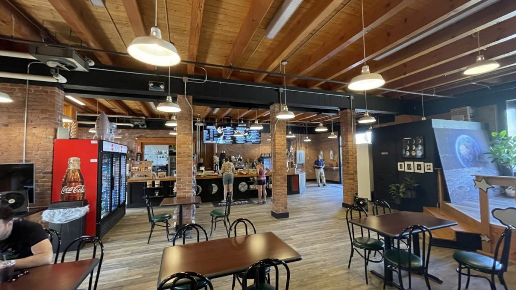
Traveling in Vermont is slow. Lots of small towns, slow roads, and rivers and stream to look at. 70 miles and two hours later we cross into New Hampshire. Immediately I stop and give some lame excuse that I’m cold and need my jacket on, but I also ditch my helmet off my head too. It wasn’t much longer and we entered the Kancamagus Highway at its southern end. The road follows a beautiful rock and bolder filled river bed as we zig zag and climb slowly at this point till we reach the town of Lincoln NH, which is the official start we need for our ride to document. I find a local coffee shop that had real coffee and some real homemade cookies and fresh cinnamon rolls that were amazing.
With our sugar buzz intack, we depart Lincoln and continue on the Kancamagus Highway, which starts an aggressive climb with the river right next to us. It is well wooded up here with plenty of greenery. The air starts getting cooler as we climb and it refreshing. We keep climbing through couple of big sweeping curves and near the top before the pass are a couple of tight switchbacks to enjoy.

We go through the pass, which is only 2,855 (but a mountain is only as big as it’s valley), and we start a decent. But before we get to the bottom we take the Bear Notch cutoff to Bartlet NH. Now that Bear Notch cutoff was one of the prettiest roads I have ever been on! Green Canopy road that had greenery right up to the asphalt as the mowers have not come by yet to clear the weeds and grass, but visually it was awesome.

We then take a break to take photos and get a receipt in Bartlet then take highway 2 to Maine and call it a day in Bangor Maine for the night. Tomorrow off to Canada.

Cabot Tour – 7/6/23 video

Cabot Tour-7/05/23 Rochester NY to Waterbury VT

Another early start as we want to get two items on the Cabot Tour, #3, Whiteface Mountain and #4, the ferry ride across Lake Champlain to Vermont.

It is a warm morning as we get on the highway, which is like a freeway with limited access and overpasses, It was light traffic yesterday but today there are commuters among us. But about an hour later we are on a two lane highway heading into upstate New York. It is very wooded and the roads are fast. Slowly it does change to more curves and climbs as we slowly start getting into the Adirondack mountain range. By early afternoon we are sweeping through curves admiring the scenery all the while watching the clouds building in the sky. Even though I wanted to stop for my afternoon coffee fix, I opted for later since the clouds were gathering for a party. By about 1:30 p.m. we enter the roadway up to Whiteface Mountain.

The road climbs rapidly and you can see the road above you as it has numerous switchbacks up the side of the mountain. At the end of this climb is a gift shop and an observatory. The view of the Adirondack mountain range is all around us. From one side we see where we rode from, on the other side of the gift shop you can see Lake Placid and the lake. The sky has plenty of clouds, but no rain yet for us. The view is also a bit smoky due to the fires in Canada. Never the less, a great view.

After we spend time documenting our completion of the checkpoint, we visit the gift shop and check out more views before the decent down and my endless pursuit of my afternoon fix. Rick has never been to Lake Placid, so off we go….

We hit a few sprinkles while going to Lake Placid, more like a misting that feels good because of the heat. We pull into town right by the coffee shop I choose on Google maps only to find that it was closed, along with other coffee shops. But Starbucks was open in downtown Lake Placid – so we ride a few blocks more. A red eye and a cookie later we are on the road again heading to Essex NY to catch the ferry across Lake Champlain to Vermont, about 55 miles away.

As we leave Lake Placid, the road to Essex’s takes us right by the sky jumps which is an impressive view to see these tall structures rise from the woods below and you notice that they are really tall and they really don’t have that much room to land. We alsso just missed some showers as the road was steaming in some places, which felt great as you fell the temps drop about 10 degrees while riding through God’s air conditioning. The coolness was short lived as we continued east to Essex’s as the sky was clearing with every mile we ticked off.

We follow the Ferry signs for about 10 miles till we entered the very small town of Essex’s, which is really only about a block long. We pay the gal at the booth, where she instructs us where to park and wait for the Ferry. While we wait we take our pictures and about 15 minutes later we are riding up on the boat, where we do not tie down the bikes, just park as usual and enjoy the ride across the lake.

About 20 minutes later we cross the very calm lake and exit onto farm roads in Vermont and set our sites about another hour away for our stop for the day, which is Waterbury,

We check into our hotel, clean up, find out recommended places to eat, and off we go to check out the local town and eatery, which tonight is The Reservoir. We were treated with some of the best fish and chips e both have had. You could tell it was fresh fish dipped into home made batter, fried in a pan with homemade coleslaw and home made french fries.

Now with a belly full of fish and chips, topped of with a local crafted IPA, I attempt to catch up on my posts, only to get 1 of 3 done…

Oh Well….

I would like to thank those who comment as it is appreciated and all are ready and enjoyed by us, even though I do not get back to you…

Cabot Tour 07/05/23 video

Cabot Tour-7/04/23 Cleveland OH to Erie PA and Niagara Falls

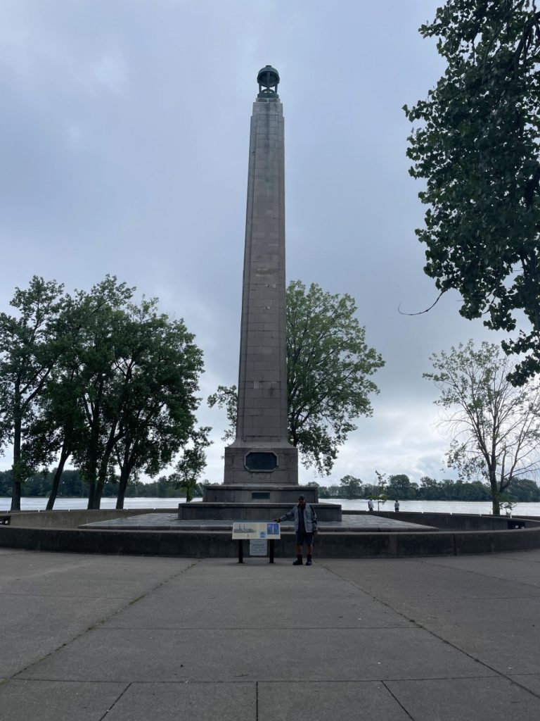
We said our goodbyes to Sheryl and Rick and I got rolling about 8 am on a overcast morning but the weather was calling for clearing skies by mid morning. It was July 4th and the roads were really quite as most people had the day off. We entered the freeway on I-71 and headed north towards Cleveland. Nobody on the road as we enter and see the city and we grab I-90 east towards our first Cabot Tour item, #1, Erie PA and the Perry Monument on Presque Isle Peninsula.

It was a quick 1 1/2 hour 100 mile ride as the freeway was empty through Cleveland and not many trucks to contend with this morning. We exit off and enter the Presque Isle Peninsula, which is a gem for the people of Erie PA. Lots of places to go to the beach on Lake Erie, bicycling paths, walking paths, areas for boat launching, you name it… on a tree filled peninsula that just jets out a bit into Lake Erie.

Lake Erie has cleaned up quite a bit from when I was a kid swimming in it. I remember greenish water and kind of smelling when you got out of the lake. It doesn’t look like that now.

We took our documentation pictures and then I needed my coffee fix and I was reminded that I am a coffee snob… it’s true! Regular coffee doesn’t do it anymore, need some expresso or something equally as strong in flavor. But this coffee shop was busy for a reason, not only a holiday and people off, but good cookies and stuff. Also, we needed a receipt of purchasing something in town.

We got going again and our next stop was item #2 on the Cabot Tour list, Niagara Falls, another 100 miles away. Helmet back on for me and back on the interstate, or shall I say tollway as we enter New York State. We set our GPS’s for Goat Island, which is an island on the U.S. side between the Horseshoe Falls (aka Canadian Falls) and the American Falls. Rick had never been there so we decided to start there. The views are not quite as good for a frontal view of the falls, but great for being at the edge of the falls and up close.

As we exit off the tollway and take roads leading up to Goat Island, we are riding along the lake. You start to notice warning signs on the lake and soon you can see mist off in the distance indicating where the falls are. We are shortly entering the Island. It is sunny now, clear skies and hot and humid. We park our bikes and walk first to the edge of the Horseshoe Falls. It is much cooler as you stand on the edge with all the other people, doing selfies and taking pictures just like us.

Pictures do not do it justice, you just need to go there and spend some time. We only spent an hour, but there is plenty to do there. Maid of the Mist (a boat ride right up to the base of the falls), Walk behind the falls in caves, walk to the base of the falls, helicopter rides, evening light show with fireworks, zipline, etc. Many viewpoints from the American side and the Canadian side. Just google and you will see all that you can do, but not us, as we are on a motorcycle ride, and this is just an eye opener to come back.

We grab a quick snake to cool off and talk about how to ride to our next item on the list, Whiteface Mountain by Lake Placid New York. We decided on getting off the interstates and ride some back roads again. Upstate New York is pretty and soon we were following a road along the shores of Lake Ontario and and by late afternoon we past through Rochester New York to call it a day in Westbury NY.

We quickly check in and notice the hospitality isn’t quite the same as the south. And since it was the Forth of July, we hurried to get somewhere to eat as most establishments were closing early. We ended up at a Red Robin and it was quite friendly and good! Its’s been awhile since I’ve been to one of those. And I forgot the name of the grocery store we went to afterwards for some additional items, but it put to shame Trader Joes, Sprouts, and Whole Foods combined that we have in California. This store had more fresh produce and other fresh items. It was huge!

We called it a night and I tried to catch up on my blog, only to fail again as I should not have a beer for dinner….

Day 01 of the Great Lakes Cabot Tour video

Ph2-Day14 Mineral Wells WV – Cleveland OH : Ride #19 – Triple Nickel

Our goal today is the Triple Nickel ride, which is 80 miles on Ohio route 555, and an early wrap up in Cleveland by the airport as Sheryl will be flying out on July 4th to head back to California. Growing up in Michigan and only seeing the northern half of Ohio, I was not thinking Triple Nickle would be much of a ride. I was thinking most flat and farms.

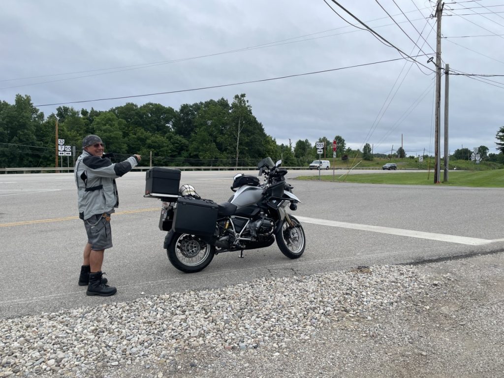
Again, I was surprised by this road. Although it started out pretty plain in a typical Ohio look, the road quickly evolved into a twisty roller coaster type ride weaving itself through remote farms and lots awesome looking homes with 2 or 3 acre lots mixed in the farmland and wooded areas and river crossings. The morning was overcast with the threat of misting or showers, but it never really developed for our ride (until the end). We rode through about 3 very small towns, saw lots of wooded areas and witness an Amish family working hard in the field in full clothing that looked like a Norman Rockwell painting. By the end of the 80 miles it was a smattering of drizzling going on when we documented the end of the ride, with it drizzling off and on through the next hour or so as we navigated our way to Cleveland. For the most part it wasn’t raining most of the time, just always a threat. The last 30 minutes was on freeway to the airport area, where we literally just pulled under the canopy and the skys opened up. What luck!

We had dinner across the street with some good old fashion home cooking it looked like, with another outrageous dessert. It was Sherryl’s last day of riding with us since she joined us on the BRP 5 days ago. This will also mark the point when Rick and I put a pause on the 15 Great American Roads challenge to start the Great Lakes Cabot Tour ride tomorrow, with the first checkpoint in Erie PA.

Day 13 7/3/23 ride video

Ph2-Day13 Fishersville VA to Mineral Wells WV – Doing the Skyline Drive in Shenandoah NP

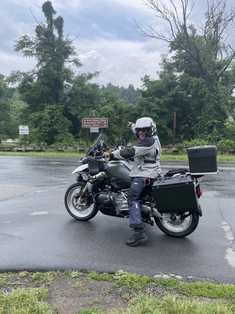
At the North end of the BRP is a road called Skyline Drive in Shenandoah National Park. While researching BRP I noticed that these roads are connected, so we decided to ride this while we were out here.

When we finished the BRP we rode west a bit to get rooms for the night in Fishersville so we cold ride Skyline Drive the next morning as this 100 plus mile stretch of road is slow going with a speed limit of 35 MPH, so we needed about 4 hours to do this before heading west to our next ride in Ohio. Although it rained last night, this morning was partly cloudy as we left to go back to where we left off.

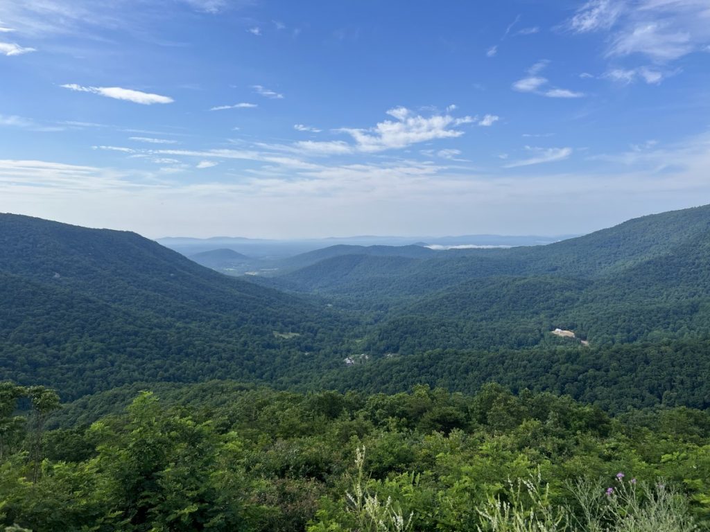
Skyline Drive is just a beautiful as BRP but has a slightly different feel to it as it is a National Park setting, It took us every bit of the morning to do this ride with all the turns, climb, vistas, and our breaks, and by early afternoon we finished with still knowing we had about 250 westerly miles we wanted to get in, or about 5 hours. Luckily when we finished the Skyline Drive, we were able to make some time on some highways through the hills of Virginia. The state of Virginia is beautiful with plenty of hills and mountains. The road was a divided highway, looked fairly new, hardly any development around and it was fast. But it only lasted about 45 miles as it soon transitioned into narrow, beat-up, very twisty mountain roads that snaked up and down the Virginia mountainside areas. Great narrow roads that pasted though rural towns, but you had to navigate the potholes, patches, and bumpy roads. We probably averaged about 30 mph for the next 50-80 miles. It was like being thrown back into the early 50’s with the way the road was constructed – mater of fact it probably hasn’t been updated since then with taking out some of the curves and grades. We now know why we saw people riding Razors around here on the roads….

We finally get through the twisty and get to a somewhat civilized town that has gas. The day was still clear with big white clouds and plenty of sun. We had 100 miles left to get through West Virginia to its westerly line and town of Mineral Wells just before crossing the Ohio River. We gas up, refuel with coffee and energy drink and go forward.

The road straightens out more, gets wider and soother, and eventually is a fast divided highway where we just cruse into Mineral Wells before the afternoon storm hits and to check in, have dinner, and get ready to do the Triple Nickel ride in Ohio next morning.

07/02/23 ride Video

Ph2-Day11 Laurel Springs to Fishersville VA and completing the BRP

Completed! The whole Blue Ridge Parkway from South to North, approximately 500 miles. What a beautiful road – highly recommended! Lush green canopy covered roadway for about 75% of the road, plenty of vistas, limited access points, speed limit 45 mph, no commercial vehicles and mostly riding the ridge line. It was better than I expected and will do it again. Recommend riding this on a motorcycle. If you don’t have a motorcycle, borrow one. If you can’t ride one, find someone who does. Worst case, drive your ragtop. If you don’t have a rag top, rent one! Just do it!

Our morning started out early about 6:30ish and a bit of dampness in the air. We wore our rain pants just incase of inclement weather later, plus it was a bit of a chill in the air. We continued on the detoured portion following the signs back to where we could hook back up to the BRP. This part of the BRP has been under a detour for about 2 years now as they rebuild a bridge. We top off our tanks just before getting on.

This road way is lush with vegetation. This northern portion of the BRP is more sweeping turns and not a lot of hairpins turns or sharp turns and is a bit faster, but still the limit is 45 mph. I would creep up to 52/55 mph but would quickly dial it back, not because of police, but because of the numerous deer we would see coming around a corner and a deer would be standing there on the road or the side. They hear you, but who knows which way they jump and scoot. A had a couple of close calls, so I took my time doing corners.

I can’t say enough about this road – it is just a great parkway, tranquil, even though we were constantly worrying about deer jumping out. Having the last 3 or 4 days of this same parkway and seeing the changes to it was an experience, The people that we met too.

we kept an eye in the sky towards the end when it was about 1pm and the sky look darker and the road we could see was damp and that we just missed a shower. But it eventually caught up to us just at the end of the BRP for maybe 10 miles at most, and most just a drizzle.

We checked into our hotel shortly after finishing the ride and just before the clouds let out the rain at about 2:30-3pm.

Ph2-Day 11 video, completing the Blue Ridge Parkway

Ph2-Day10 Laurel Springs to Marion VA. to Tazewell, VA The Back of the Dragon

Today is the day we go and get ride #20, the Back of the Dragon (BOTD). We wake up to damp, misty morning which later on turned into a light drizzle. By about 8ish it stops drizzling and by 9 when we leave it is just damp and the storm we though we would be dealing with, is now heading south and the day sounds promising for us weather wise.

We take off and the roads are damp, and you occasionally feel a drop or two on your face as we leave the small town of Laurel Springs NC. We have about an hour ride north till we get to one of the south end of BOTD in Marion VA. I don’t mind too much riding in these conditions. It gives you a different perspective. Less people are out, the air is clear and smell clean and we notice the payment is slowly drying out as you see some dry patches and the damp road. You just go a bit slower and take it easy.

The rides to the rides are sometimes more enjoyable than the actual ride. We have been going through some beautiful countryside. An hour later we are in Marion. We fill our tanks, obtain our gas receipts for proof, and then take our pictures to show we are in Marion VA with our bikes.

The BOTD was still wet as we climbed. Both Rick and I have done the Tail of the Dragon in TN, and this was different. The Tail didn’t climb much and had a lot of curves, but there was a certain rhythm to the road. The back climbs, snakes, switchbacks, has its constant curves and is not as commercialized. This road does keep you on your toes!!!

32 miles and an hour later we enter the town of Tazewell where there is a microbrewery/Coffee roasting place that see all kinds of goodies. After we do our mandatory documentation, I get my mandatory coffee at that place. We take a break where we shop a bit and relax before heading back the same way we came. A logo on one of the shirts disses the Tail of the dragon by saying “11, try 32” where the Tail ride is only 11 miles compared to the Back being 32. The return trip was more relaxing as the sun was out, pavement was dry and we had already rode it once.

It feels like home as we return as we now know the help and some of the people staying here, where they are all so friendly was were are all traveling. A chat it up with my neighbors who pulled in that had ridden from Quebec were riding the BRP and were eventually heading to Nashville for country music. Friday night was steak night and the place next door along with an apple empanada with ice cream for dessert. Tomorrow we say goodbye to Freeborne’s and finish the northern end of the BRP

Ph2-Day 10 video